Weird dome near Starship candidate landing zone on Mars
Click for original image.
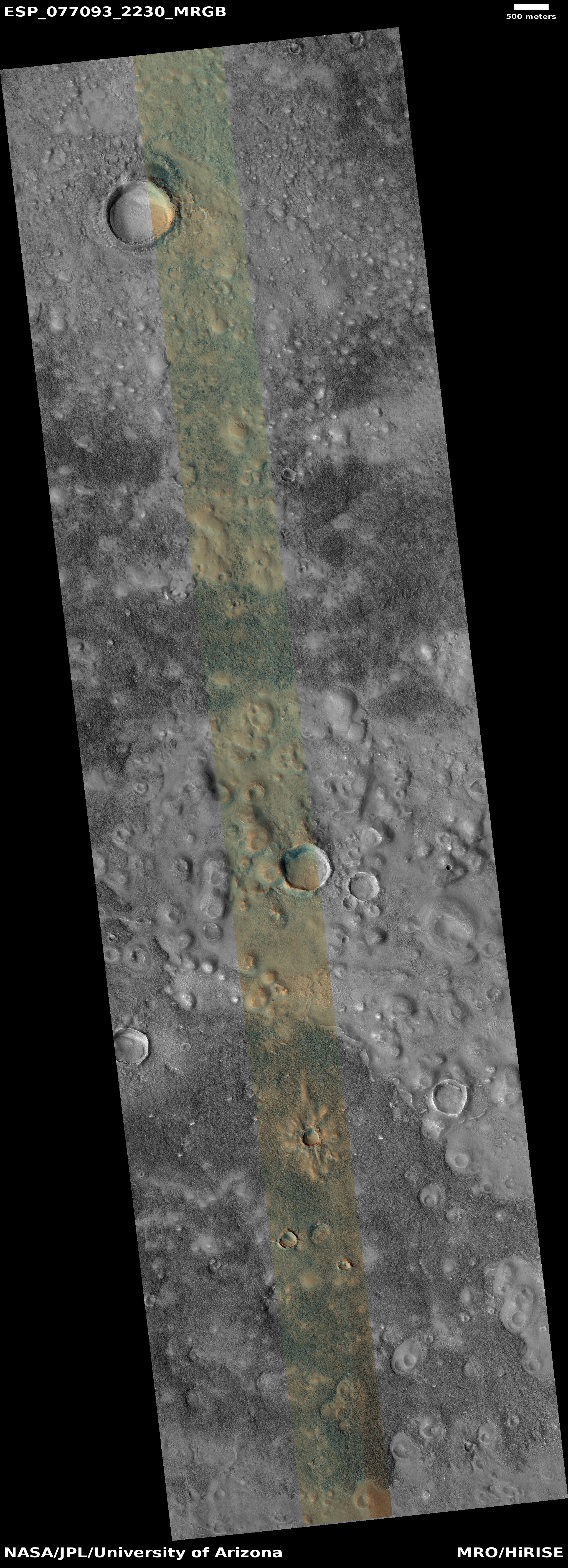
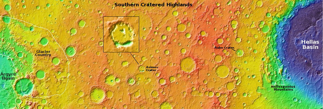
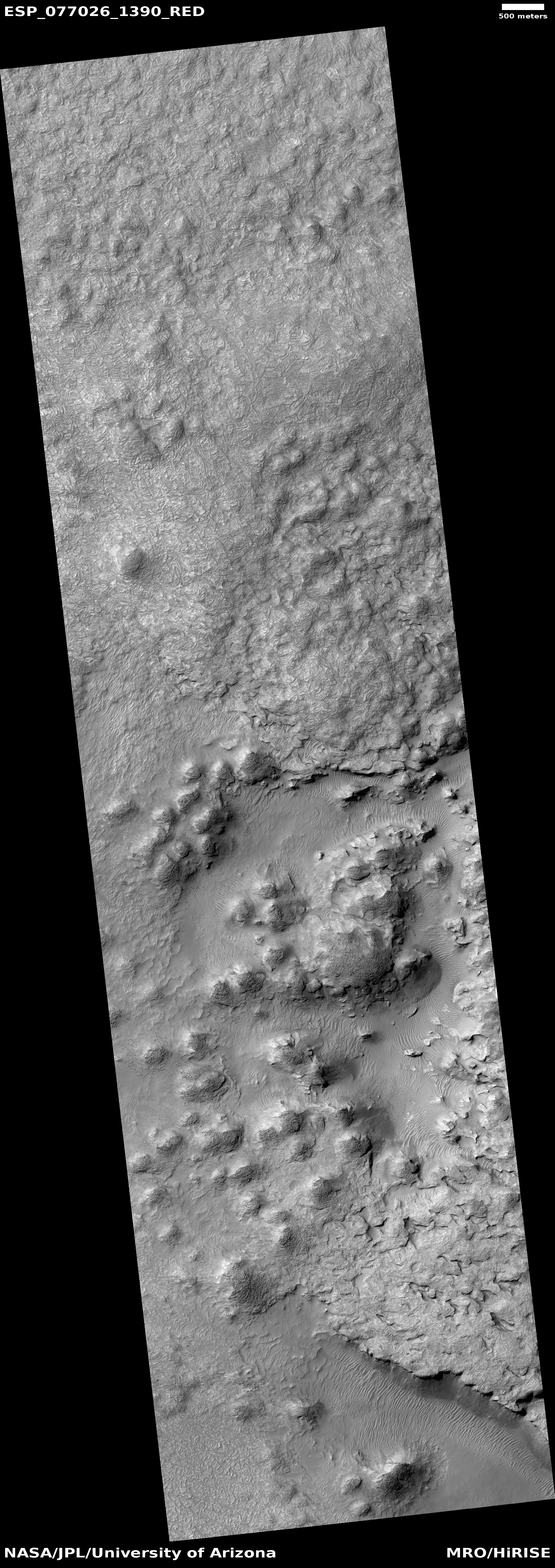
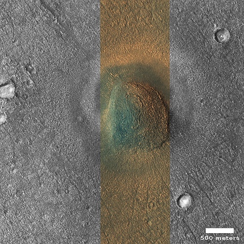
Cool image time! The picture to the right, rotated, cropped, reduced, and sharpened to post here, was taken on February 27, 2023 by the high resolution camera on Mars Reconnaissance Orbiter (MRO). It shows what the scientists label as domes in Arcadia Planitia, one of the many large northern lowland plains of Mars.
This to me is a “What the heck?” image. I won’t dare try to explain the warped concentric ringed pattern at the top of the mesa, nor the bright and dark splotch that surrounds it. The small craters around it appear to have glacier material within them, and the terrain here likely has a lot of near surface ice, being at 37 degrees north latitude in a region where the data suggests such ice exists. The different colors here likely indicate the difference between dust (orange) and coarser material (aqua).
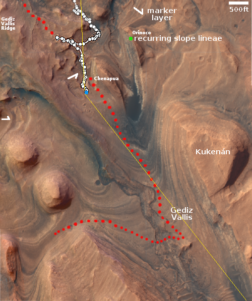
The location, as shown in the overview map below, makes this mesa more tantalizing.
» Read more

Click for original image.
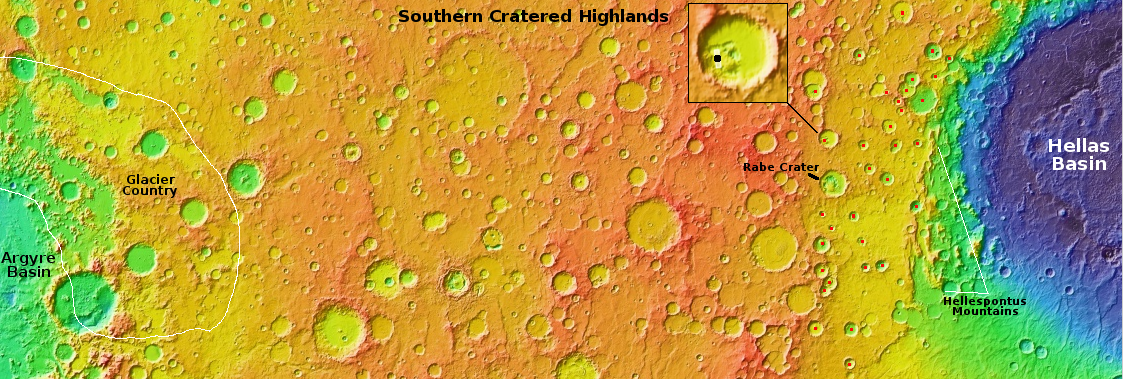
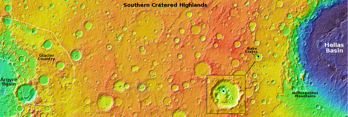
Cool image time! The picture to the right, rotated, cropped, reduced, and sharpened to post here, was taken on February 27, 2023 by the high resolution camera on Mars Reconnaissance Orbiter (MRO). It shows what the scientists label as domes in Arcadia Planitia, one of the many large northern lowland plains of Mars.
This to me is a “What the heck?” image. I won’t dare try to explain the warped concentric ringed pattern at the top of the mesa, nor the bright and dark splotch that surrounds it. The small craters around it appear to have glacier material within them, and the terrain here likely has a lot of near surface ice, being at 37 degrees north latitude in a region where the data suggests such ice exists. The different colors here likely indicate the difference between dust (orange) and coarser material (aqua).
The location, as shown in the overview map below, makes this mesa more tantalizing.
» Read more