
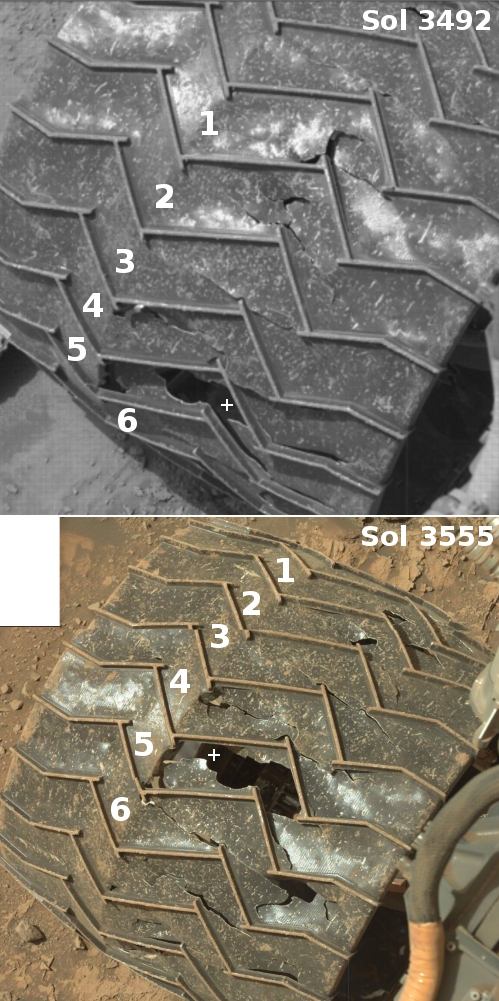
For the 4th time Curiosity’s drill fails to penetrate marker layer
Click for original image.
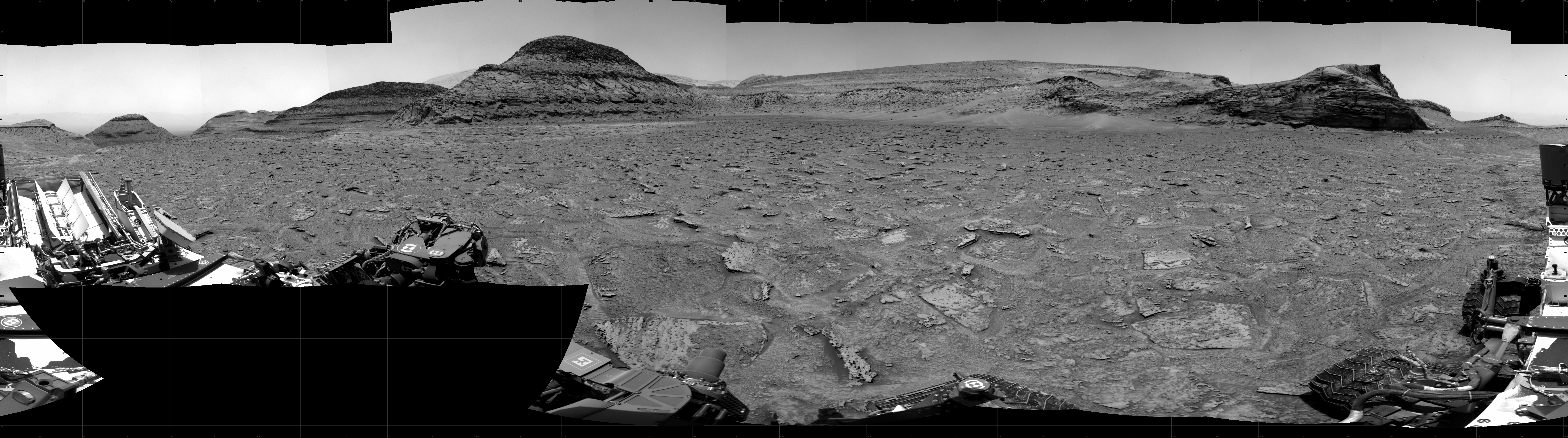
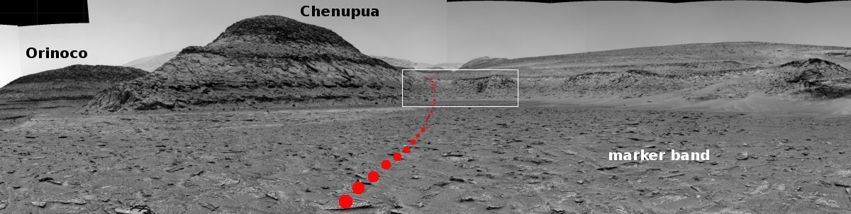
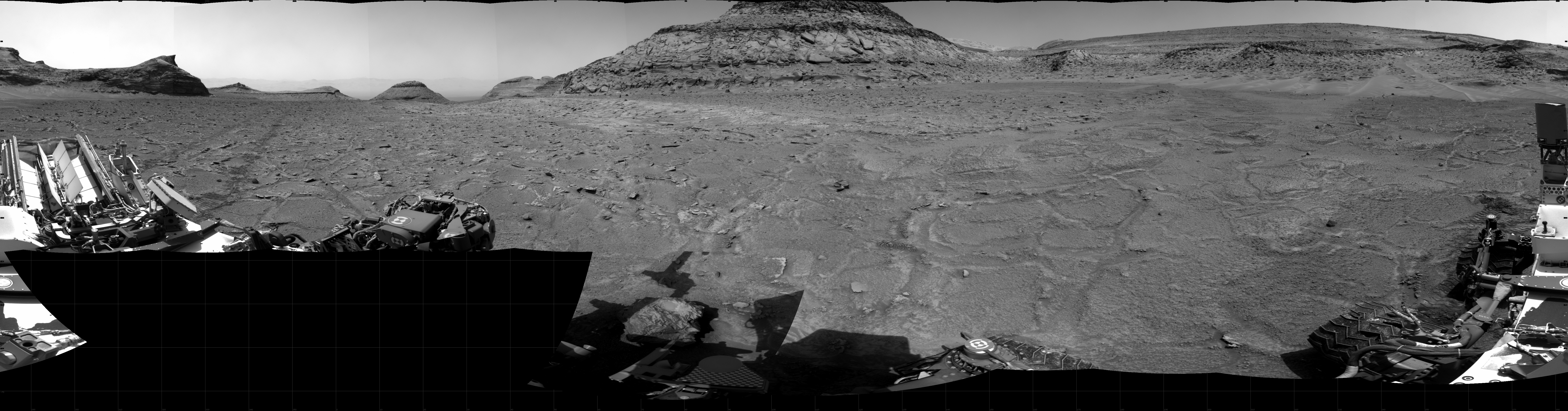
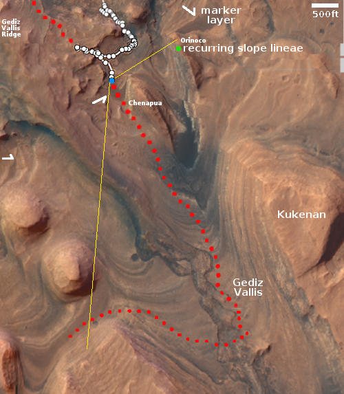
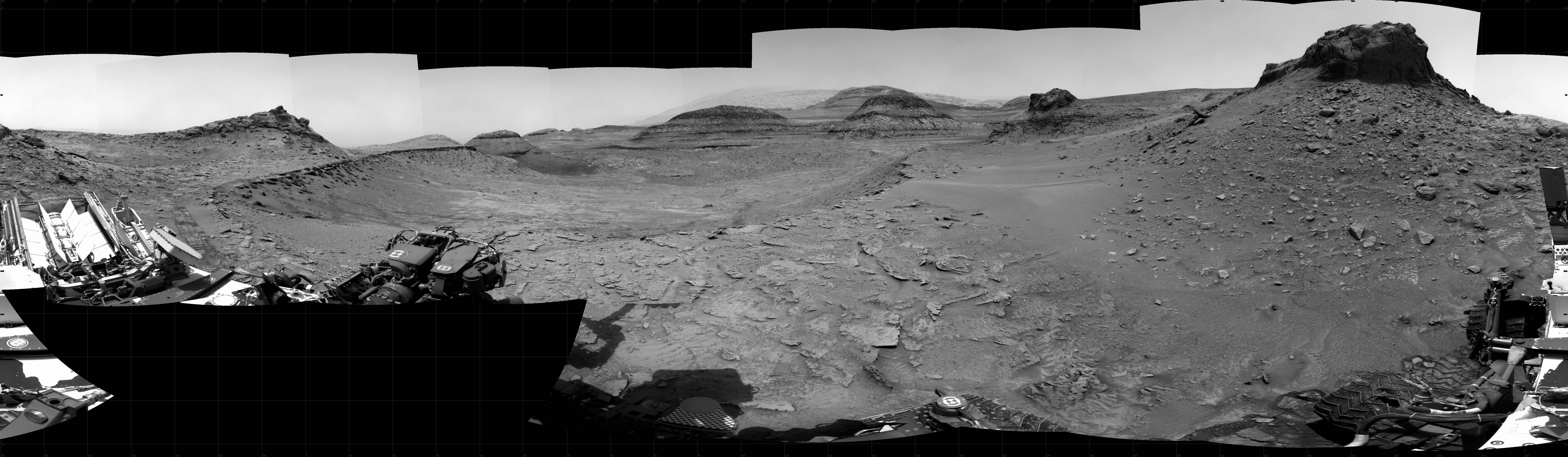
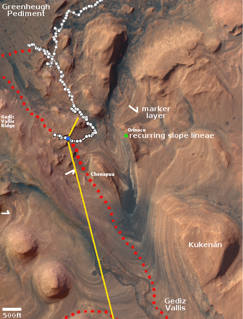
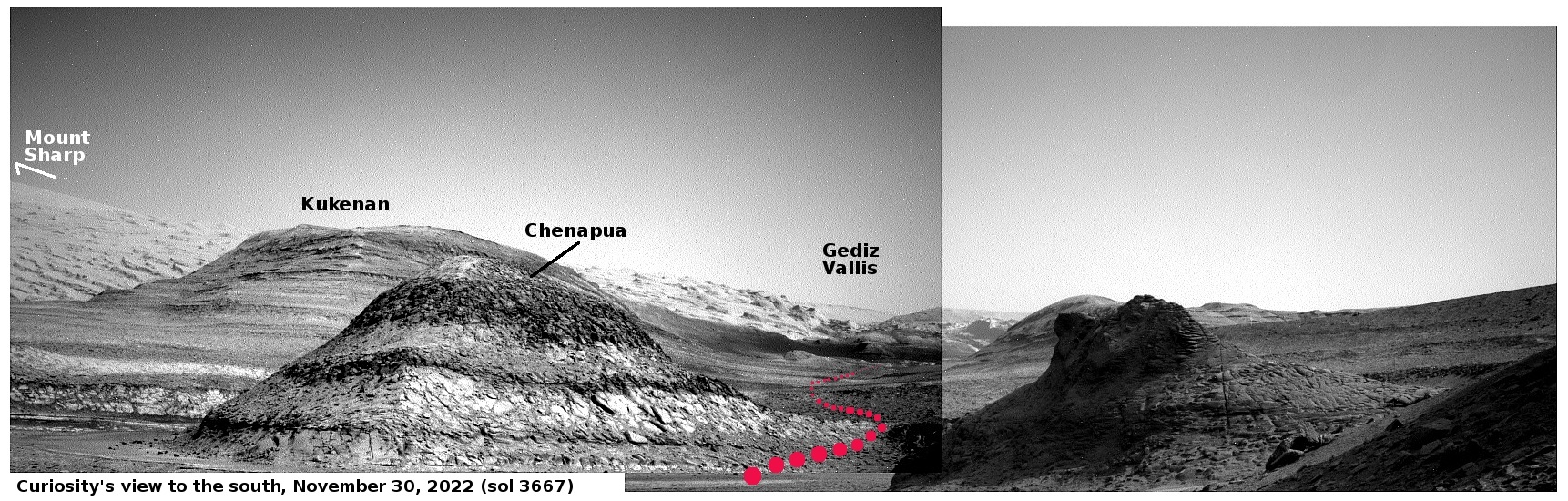
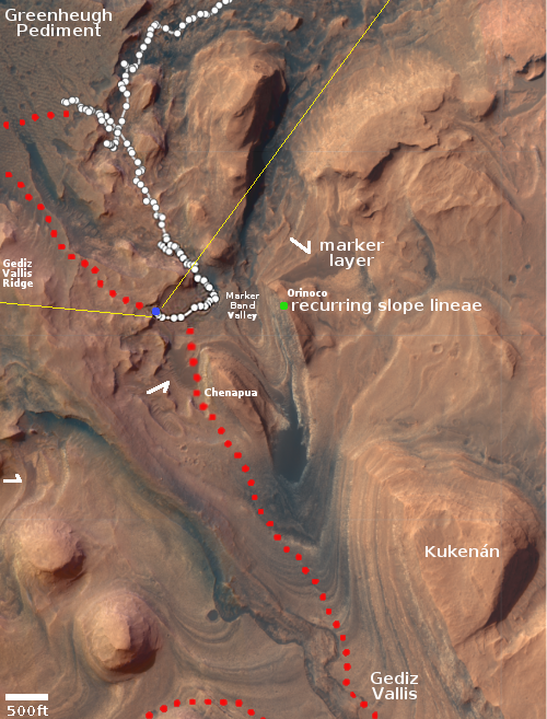
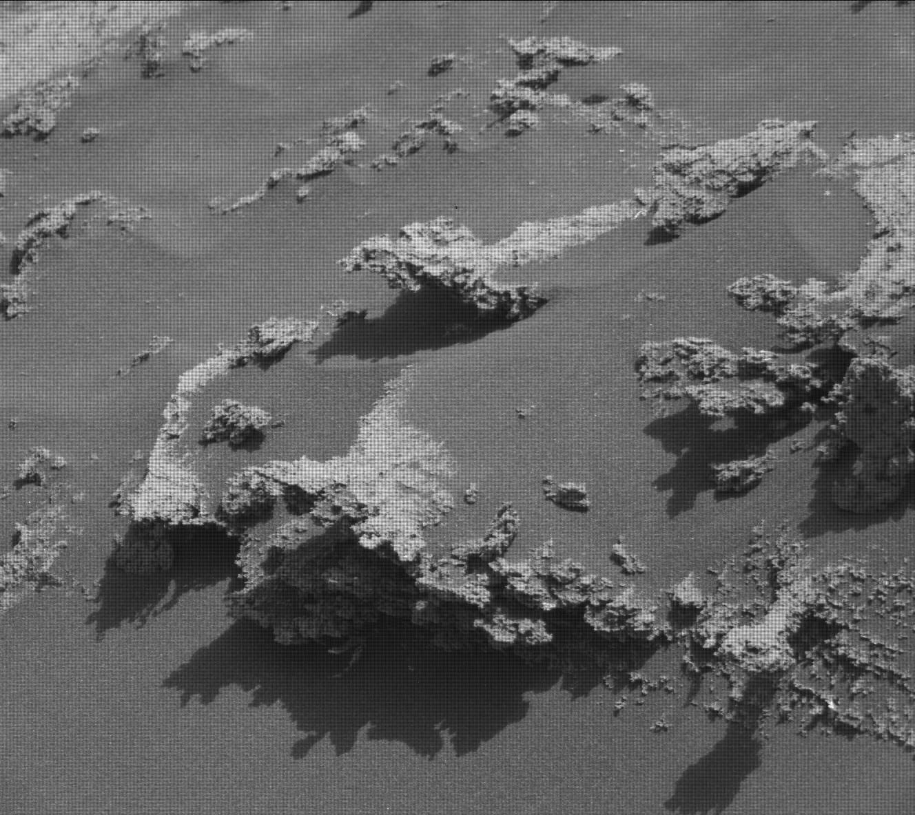
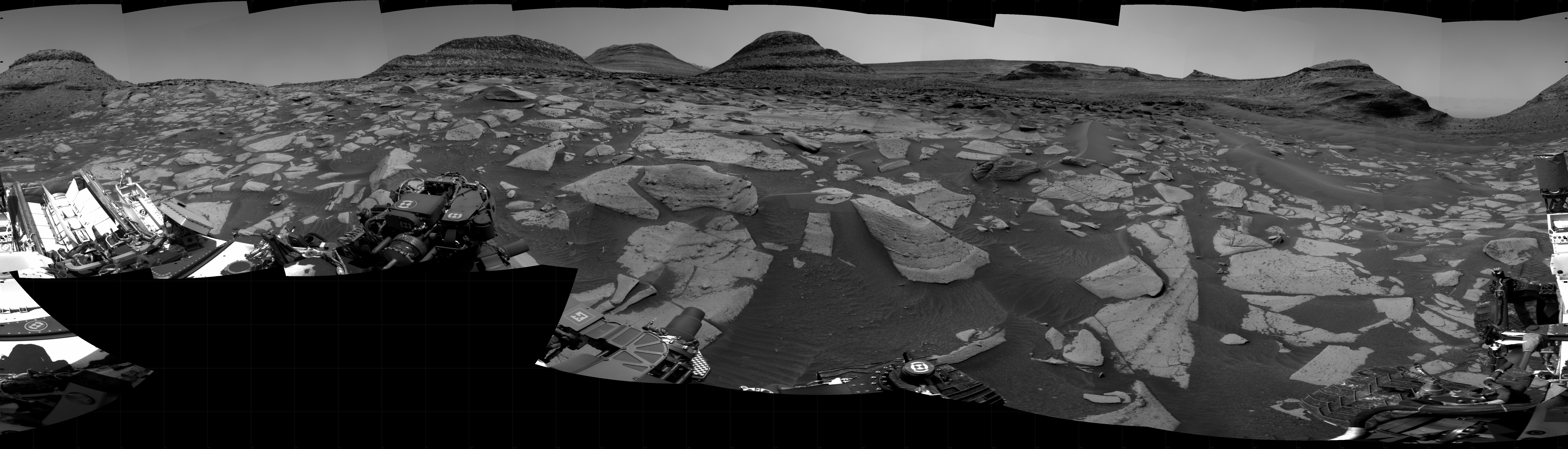
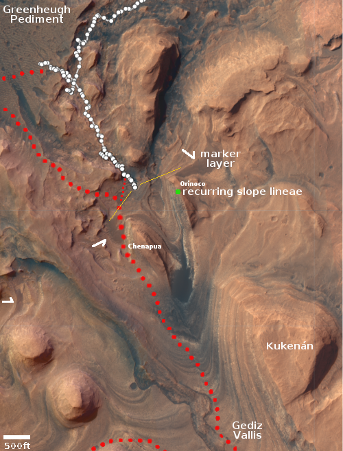
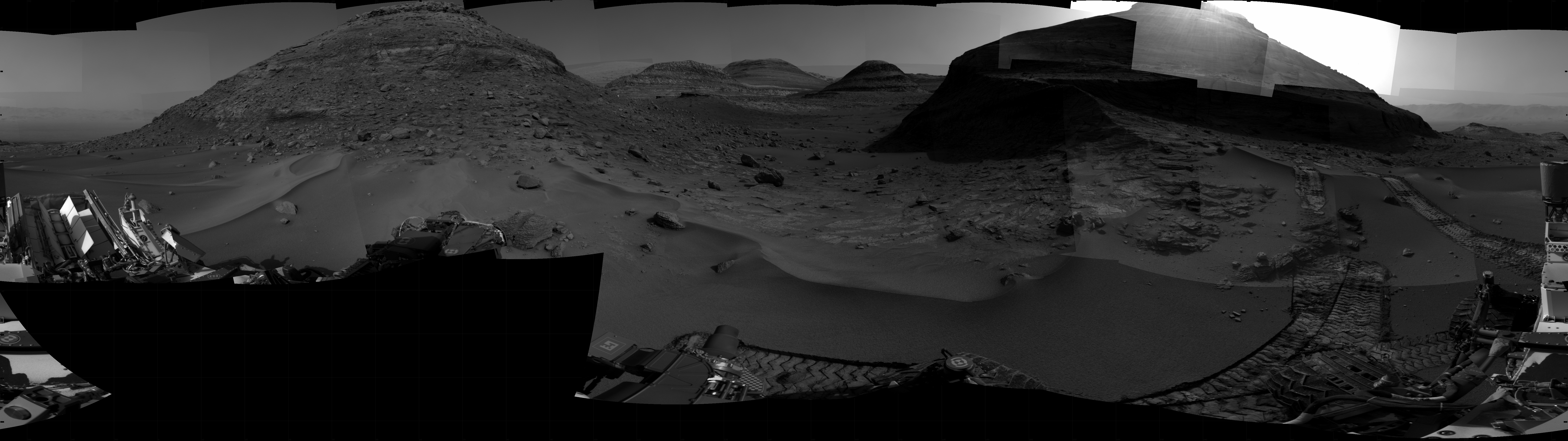
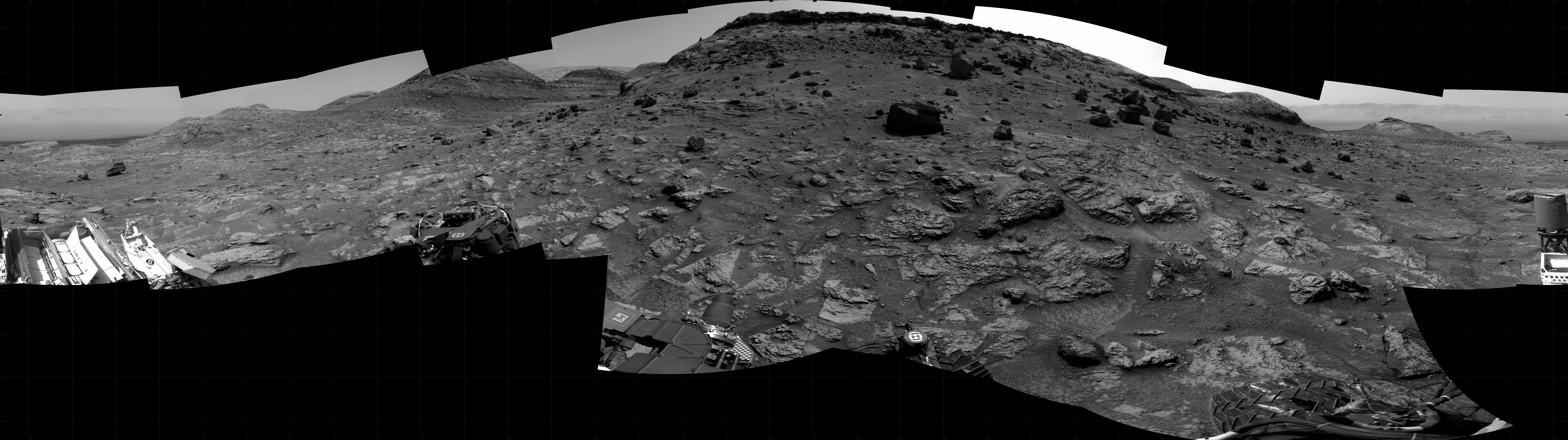
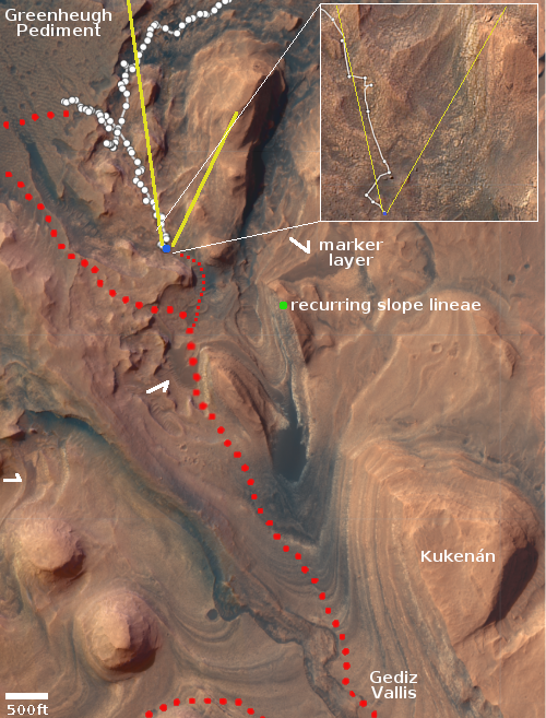
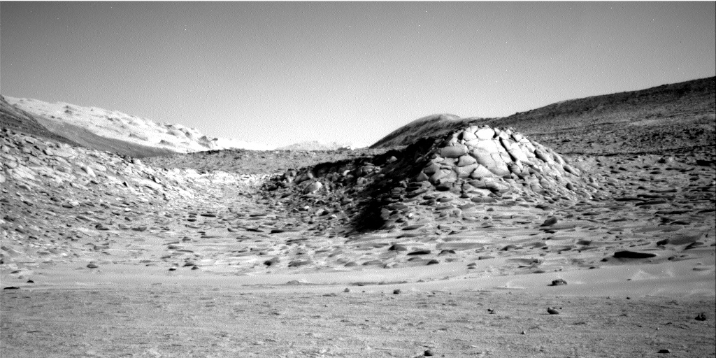
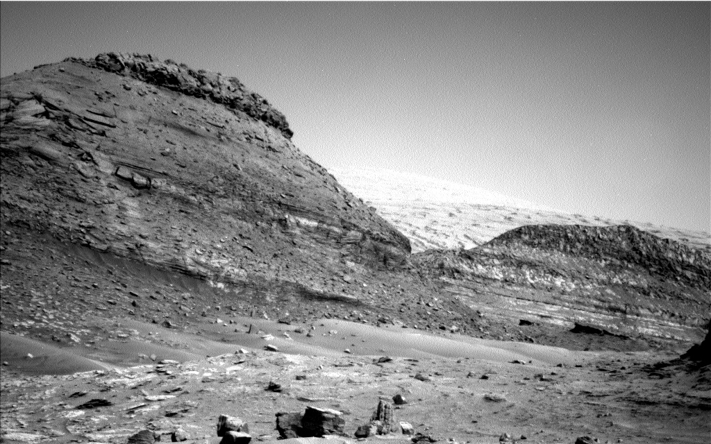
For the fourth time this past weekend Curiosity’s drill was unable to penetrate the hard rock of what scientists have labeled “the marker layer”, a distinct feature seen at approximately the same elevation at many places on the flanks of Mount Sharp on Mars.
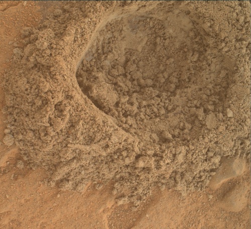
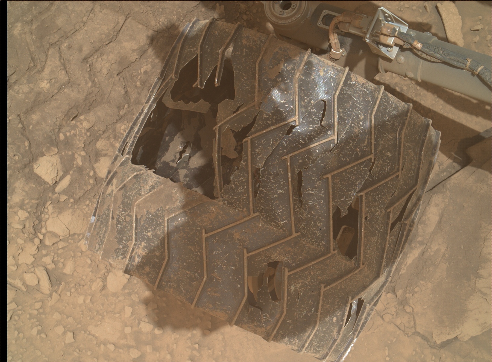
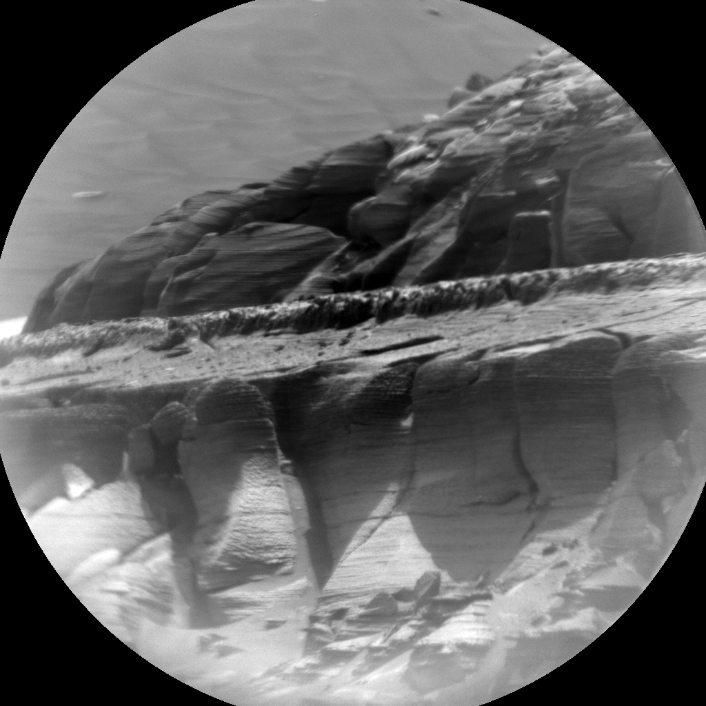
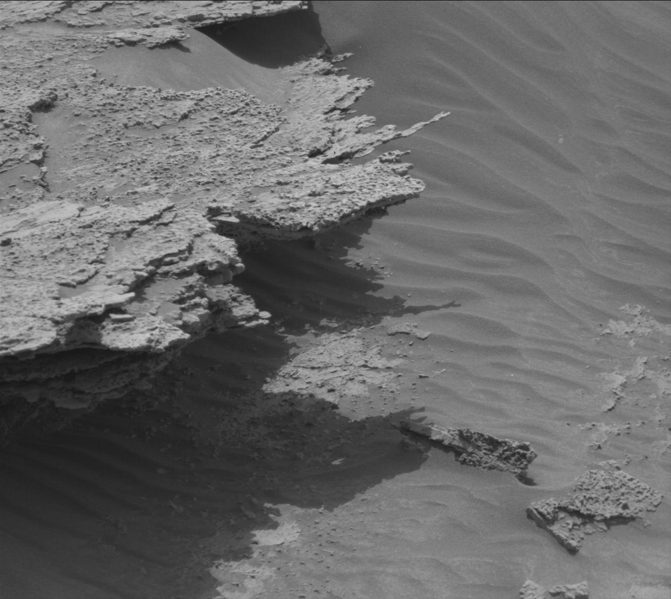
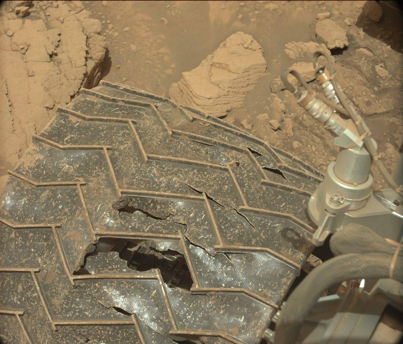
The image to the right, cropped and reduced to post here, shows that the drill was once again only able to drill a eighth to a quarter inch, not enough to gather samples for testing.
This was our fourth attempt to drill this marker band, and we gave it our best shot from both a geology and engineering perspective. Unfortunately these rocks do not want to cooperate – they’re hard and they weather into resistant and recessive beds which make them very challenging to drill. So the team made the difficult decision to get back on the road, without a drill sample from this location
Click for original image.
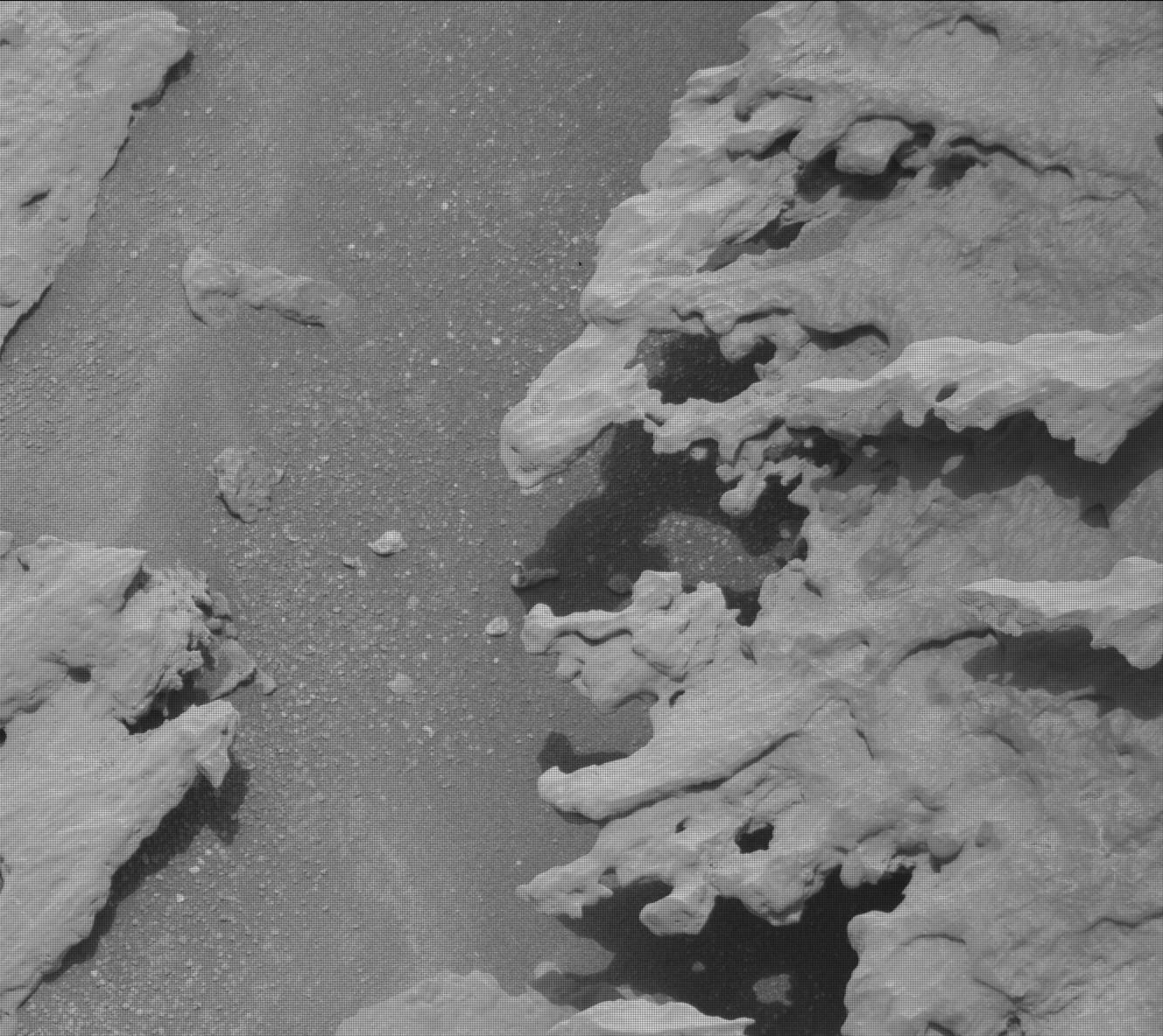
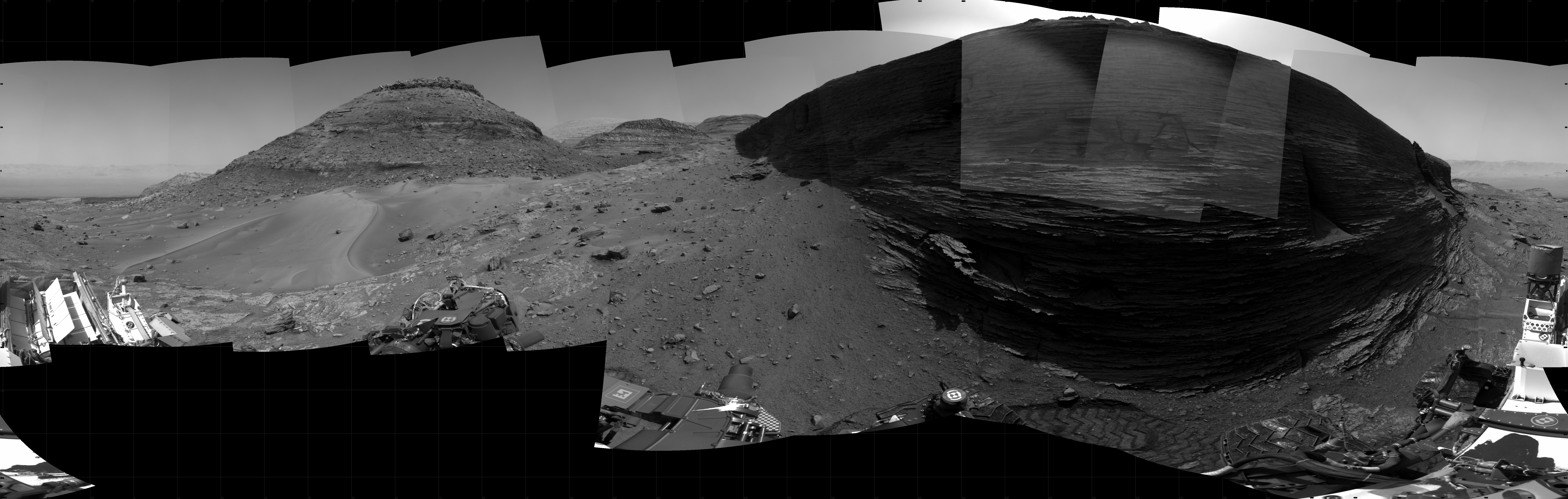
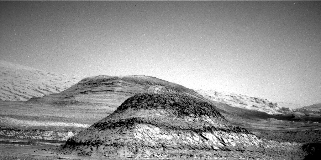
For the fourth time this past weekend Curiosity’s drill was unable to penetrate the hard rock of what scientists have labeled “the marker layer”, a distinct feature seen at approximately the same elevation at many places on the flanks of Mount Sharp on Mars.
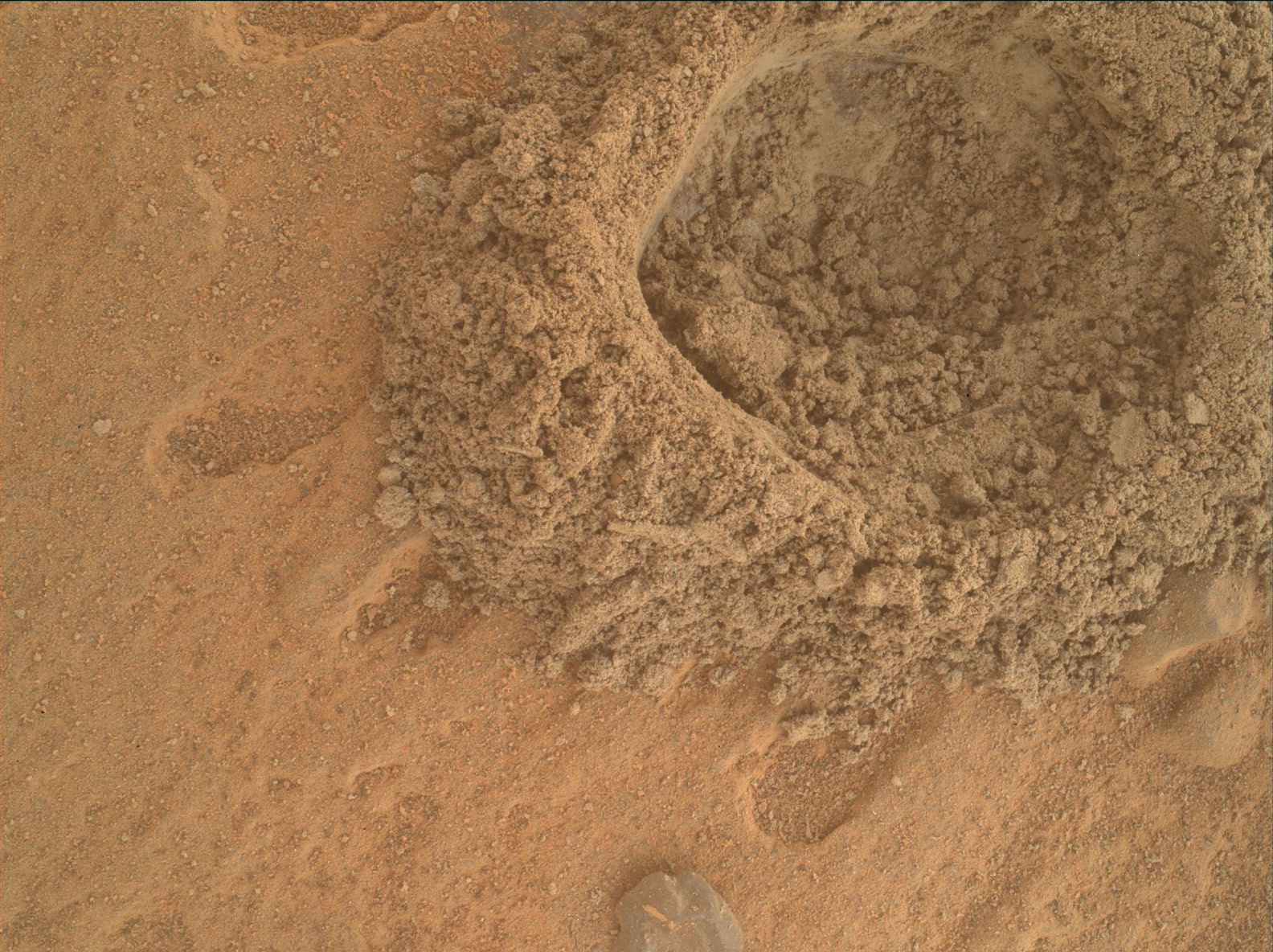
The image to the right, cropped and reduced to post here, shows that the drill was once again only able to drill a eighth to a quarter inch, not enough to gather samples for testing.
This was our fourth attempt to drill this marker band, and we gave it our best shot from both a geology and engineering perspective. Unfortunately these rocks do not want to cooperate – they’re hard and they weather into resistant and recessive beds which make them very challenging to drill. So the team made the difficult decision to get back on the road, without a drill sample from this location


