Rocket Lab launches eight satellites for constellation to monitor wildfires
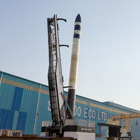
Rocket Lab today successfully launched eight satellites for German company OroraTech and its commercial constellation for monitoring wildfires, its Electron rocket lifting off from one of its two launchpads in New Zealand.
The leaders in the 2025 launch race:
34 SpaceX
14 China
5 Rocket Lab
4 Russia
SpaceX still leads the rest of the world in successfully launches, 34 to 26.
This is not the last launch expected today. Both China and SpaceX plan launches, with the Chinese launch scheduled to have occurred already. More information to follow as it becomes available.

