FAA threatens shutdown of SpaceX’s Starship program at Boca Chica
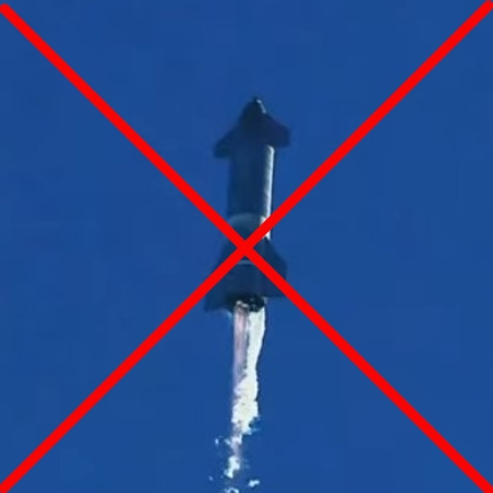
Starship banned by the FAA?
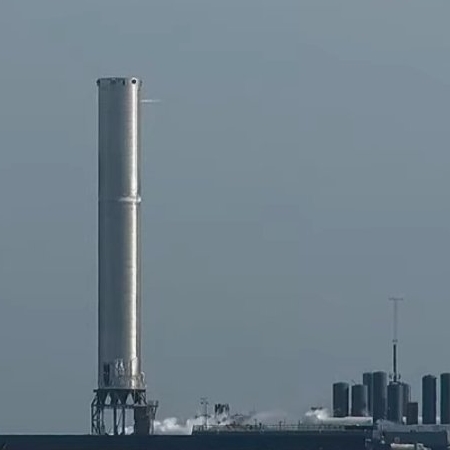
They’re coming for you next: An FAA official revealed yesterday that the agency has not approved the launch tower that SpaceX is building for its Starship/Superheavy rocket in Boca Chica, Texas, and threatened that if disapproved the government would force the company to tear it down.
The Federal Aviation Administration warned Elon Musk’s SpaceX in a letter two months ago that the company’s work on a launch tower for future Starship rocket launches is yet unapproved, and will be included in the agency’s ongoing environmental review of the facility in Boca Chica, Texas. “The company is building the tower at its own risk,” an FAA spokesperson told CNBC on Wednesday, noting that the environmental review could recommend taking down the launch tower.
The FAA last year began an environmental review of SpaceX’s Starship development facility, as Musk’s company said it planned to apply for licenses to launch the next-generation rocket prototypes from Boca Chica. While the FAA completed an environmental assessment of the area in 2014, that review was specific to SpaceX’s much-smaller Falcon series of rockets.
This revelation from FAA officials is most interestingly timed, coming on the same day as this garbage article about the terrible environmental damages some activists imagine SpaceX’s launch facility might someday cause. As is usual for a mainstream news source, the article makes no reference to the wildlife preserve that surrounds the Kennedy Space Center in Florida, where we have empirical proof for more than a half century that a spaceport does no harm to the environment and actually acts to protect it from development.
Nor was this the only such attack article in the past two days. Here is just a sampling:
» Read more


