Endeavour safely splashes down
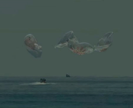
Capitalism in space: SpaceX’s Endeavour Dragon capsule has successfully splashed down in the Gulf of Mexico, returning two humans back to Earth safely after completing the first two month long manned commercial space mission.
If you go to the live stream to watch recovery operations, note that the boats and ships and persons involved are all property and employees of SpaceX. This is entirely an operation of the private company. The government is not involved, other than NASA’s justified monitoring as SpaceX’s customer.
One cool tidbit for the future. Endeavour is scheduled to fly again, in the spring of 2021. On that flight will be Megan McArthur, the wife of astronaut Bob Behnken, and she will likely sit in the same place he did on his flight.

