Another American orbital capsule company turns to Australia for a landing spot
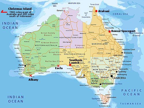
Australian spaceports: operating (red dot) and proposed (red “X”)
Click for original image.
The American orbital capsule company Lux Aeterna has now signed a deal with the Australian spaceport startup Southern Launch to allow its capsules to land at its Koonibba Test Range in southern Australia.
Under the agreement, two Lux Aeterna Delphi satellites will return to the Koonibba Test Range with Southern Launch. The first mission is targeted to return in 2027.
Lux Aeterna, based in Denver, Colorado, USA, is developing a reusable satellite platform designed to operate in Low Earth Orbit and support defense, intelligence, and commercial missions such as technology demonstrations, hypersonic and materials testing, in-orbit servicing, and in-space manufacturing. The Delphi platform and its core components are engineered to withstand the thermal and structural demands of atmospheric re-entry, enabling routine return and recovery of both the satellite bus and payload to support expedited technology development.
…Under the partnership, Southern Launch will provide end‑to‑end services for each orbital re-entry, including regulatory approvals, range operations, air and maritime coordination, and recovery operations.
This is the second American orbital capsule company to sign with Southern Launch. Varda was the first, and it did so because red tape in the U.S. made use of an American drop zone impractical. It appears Lux Aeterna has come to the same conclusion, and thus went to Australia instead.
This is an issue that needs to be addressed by the Trump administration. It is absurd that red tape is forcing American capsules to land in another country on the other side of the globe.
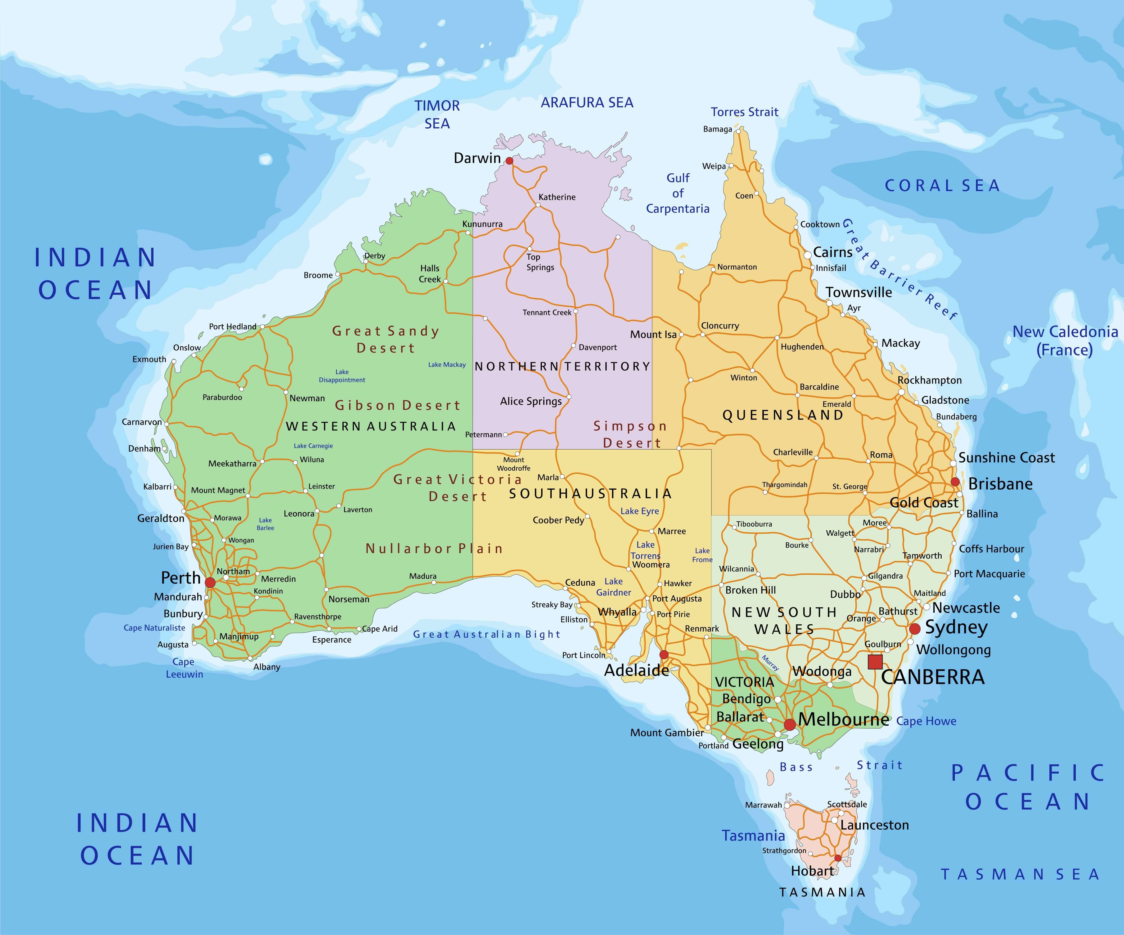