
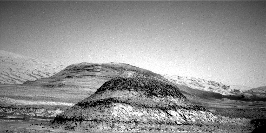
Sunken butte on Mars
Click for full image.
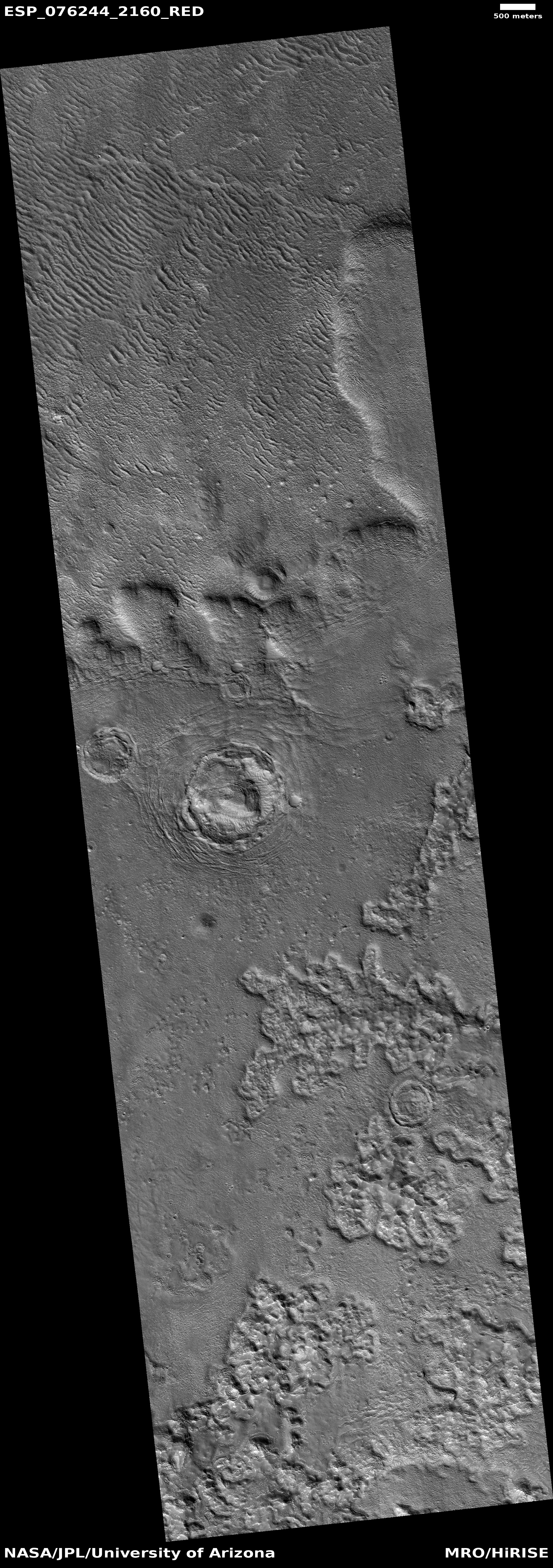
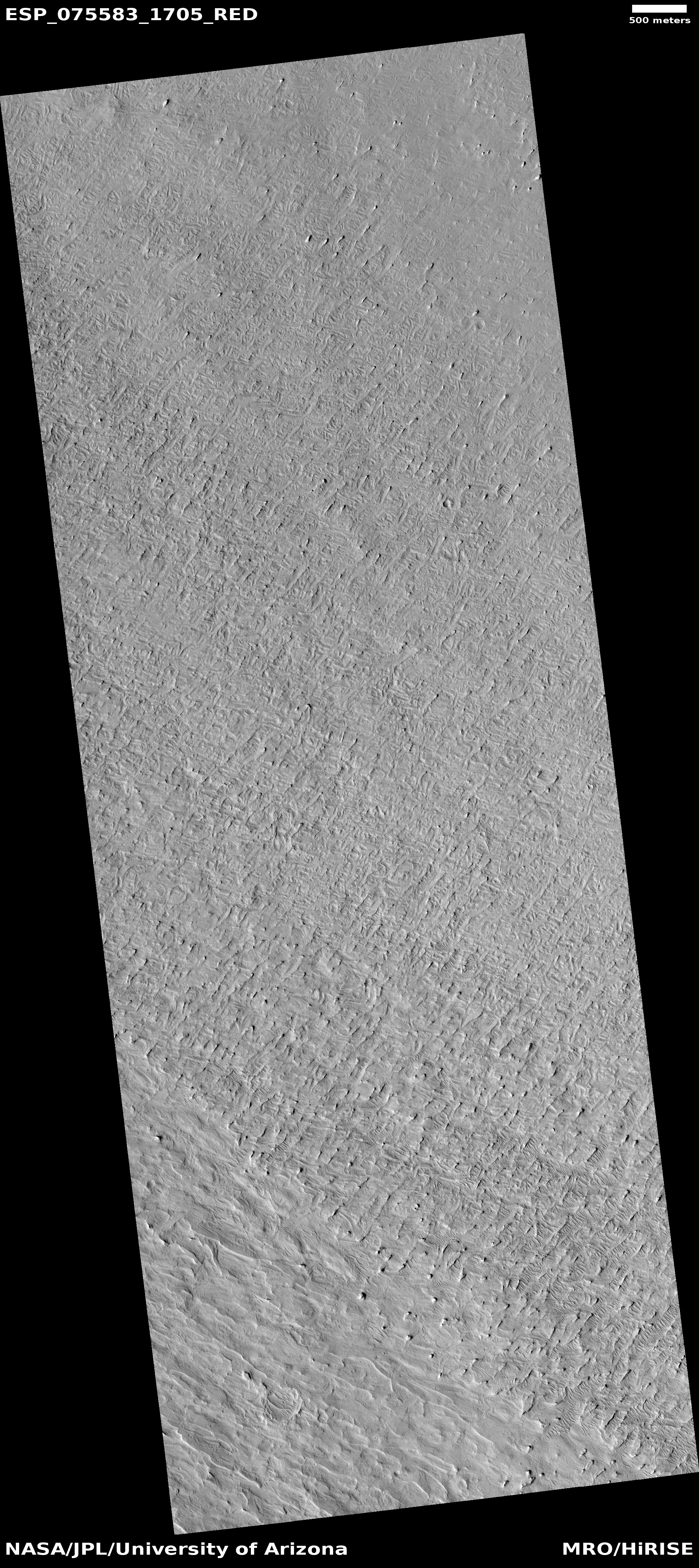
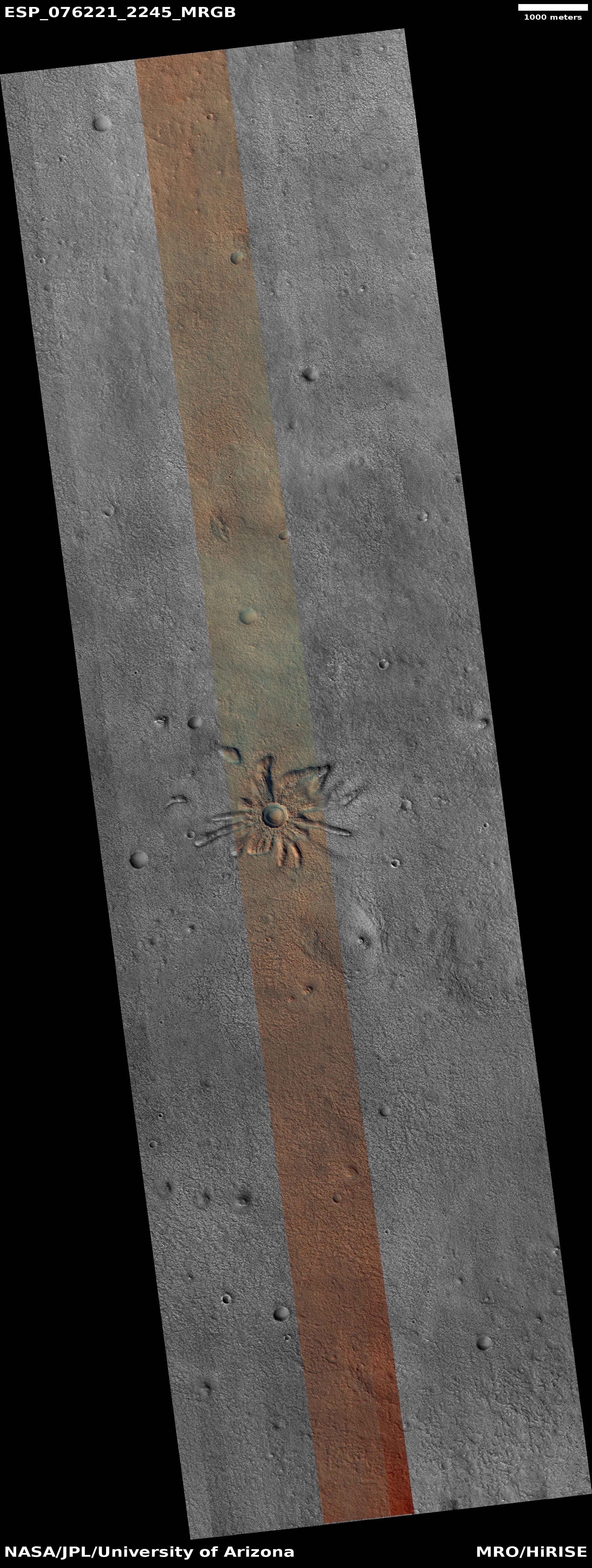
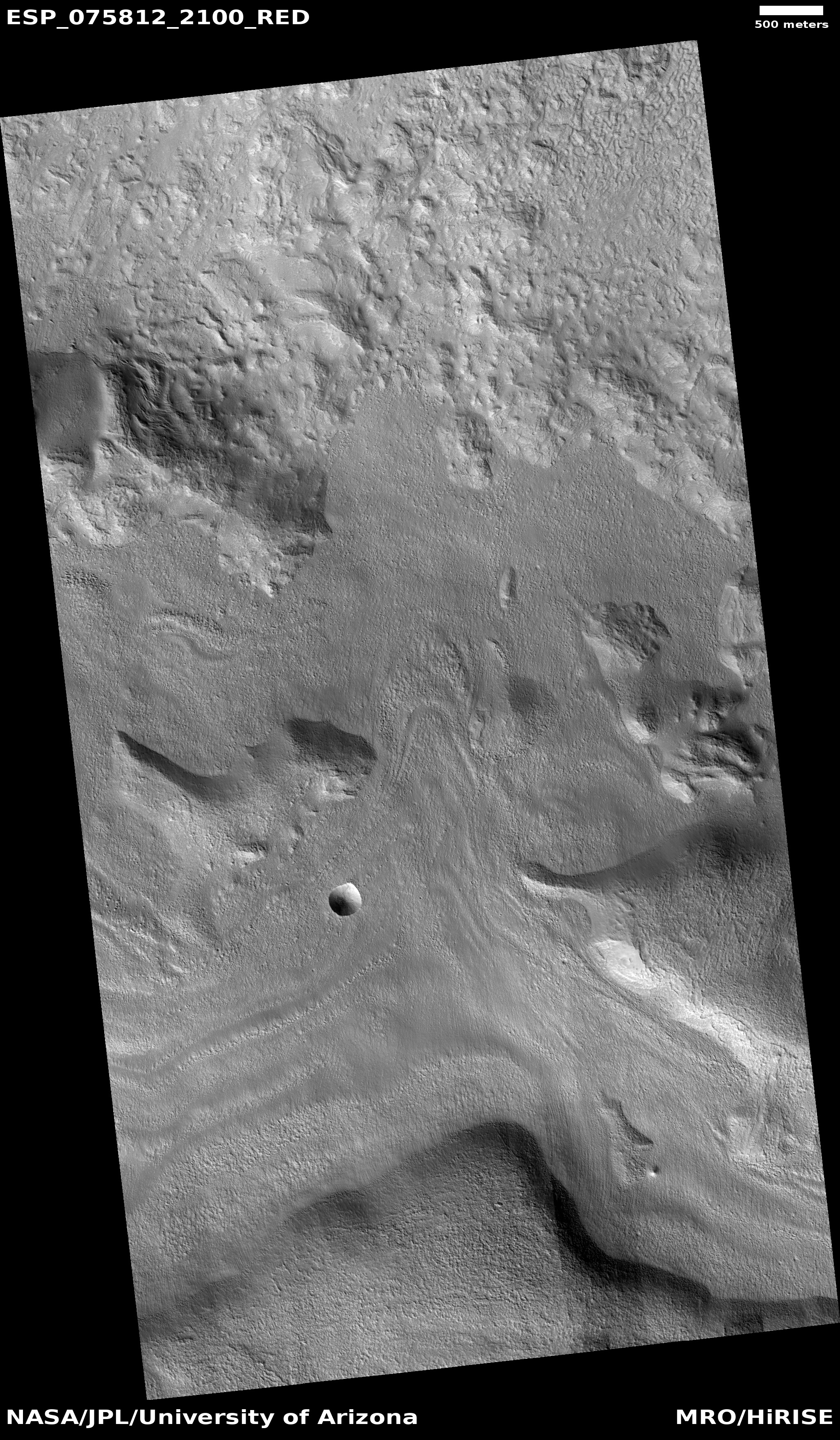
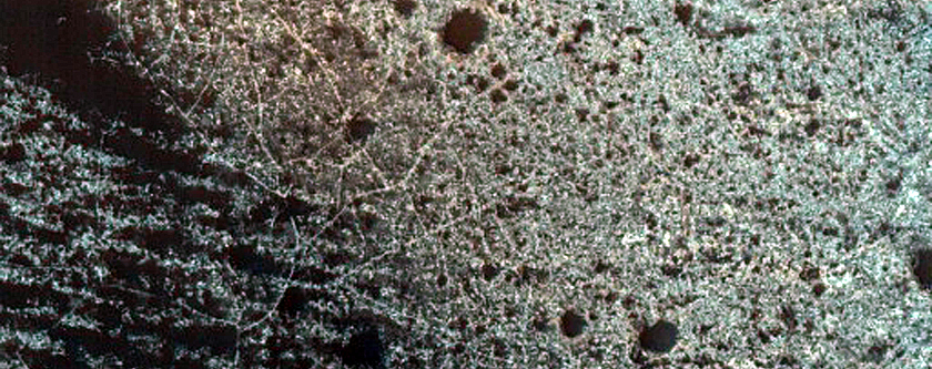
Cool image time! The photo to the right, cropped, reduced, and sharpened to post here, was taken on November 1, 2022 by the high resolution camera on Mars Reconnaissance Orbiter (MRO). It shows what the scientists label a “layered butte.” Like the mesas in the American southwest, those layers, or terraces, mark the geological history of this place, where over time layer upon layer was placed down, and then eroded away except for this mesa.
What makes the mesa even more intriguing and strange, however, are surrounding concentric cracks and the moat at the mesa’s base. These features suggest that at some point the ground below the mesa collapsed so that the entire mesa dropped, as a unit.
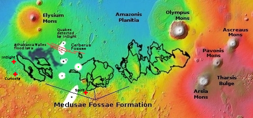
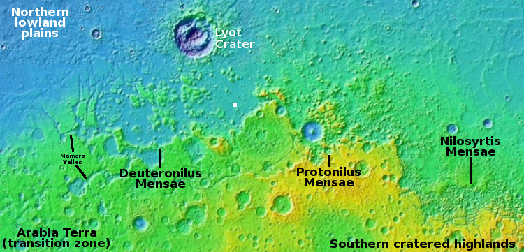
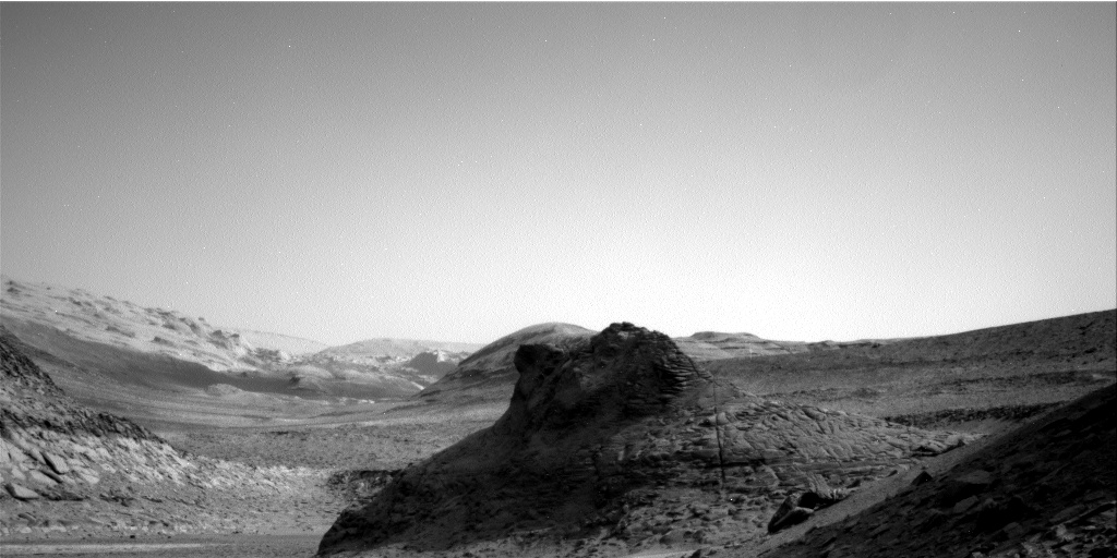
What could cause this? The overview map below provides a clue, though certainly not an answer.
» Read more


