
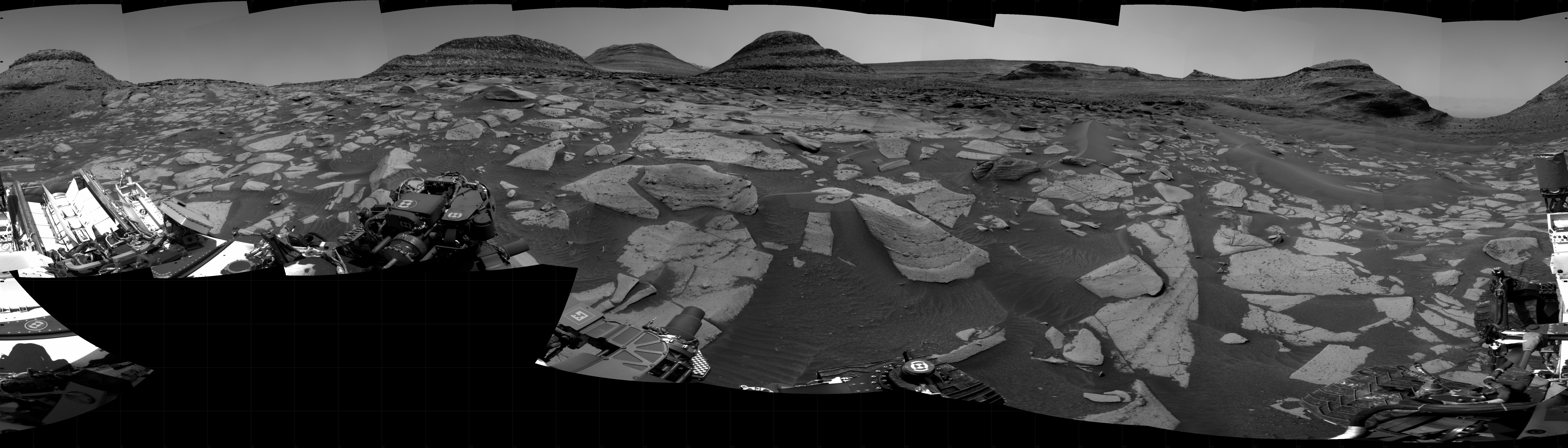
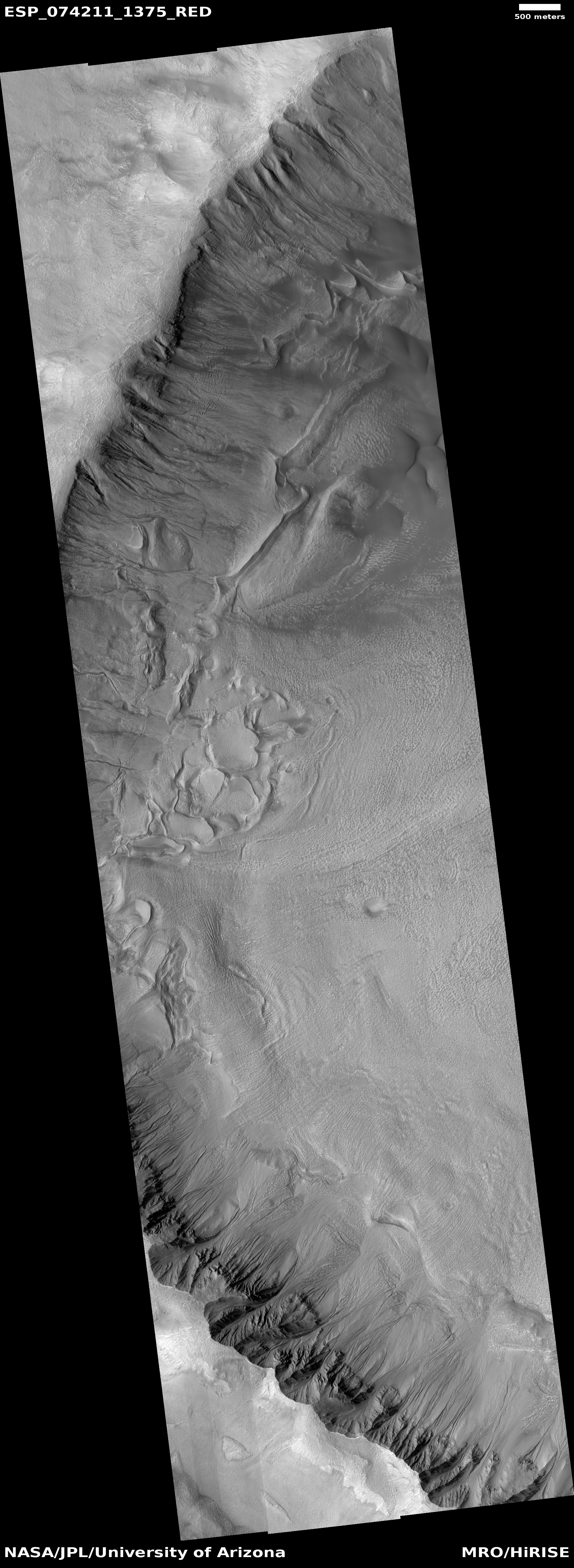
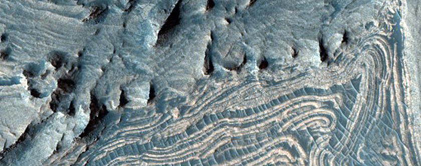
Computer model: Glaciers move slower in Mars’ gravity
Using a computer model that compared glacier flows on Earth and Mars, scientists have concluded that past glaciers on Mars flowed more slowly than on Earth, and produced different types of erosion features that might explain the red planet’s many riverlike geological features.
The new study modeled how Mars’ low gravity would affect the feedback between how fast an ice sheet slides and how water drains below the ice, finding under-ice channels would be likely to form and persist. Fast water drainage would increase friction at the interface of rock and ice. This means ice sheets on Mars likely moved, and eroded the ground under them, at exceedingly slow rates, even when water accumulated under the ice, the authors said.
From the paper [pdf]:
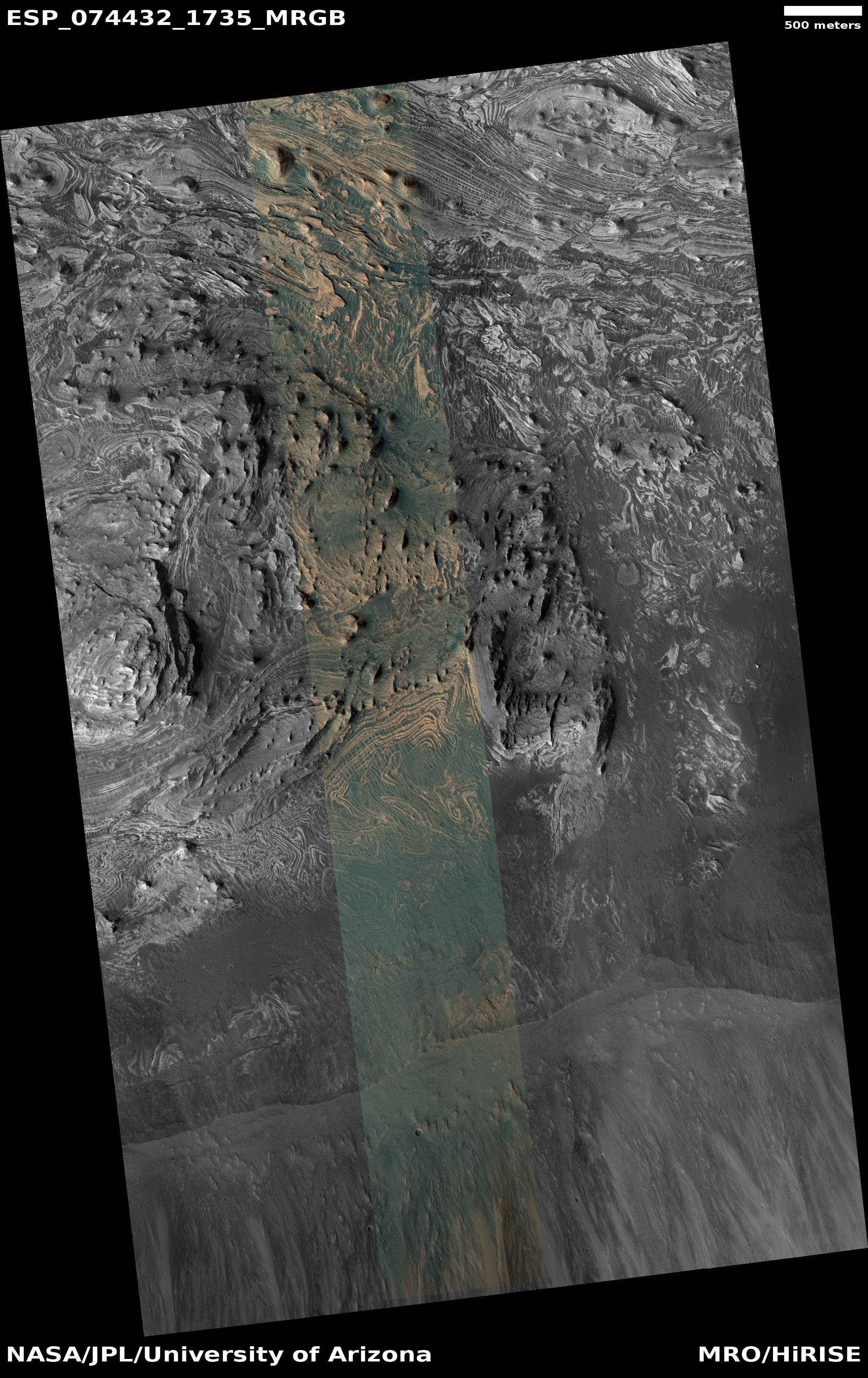
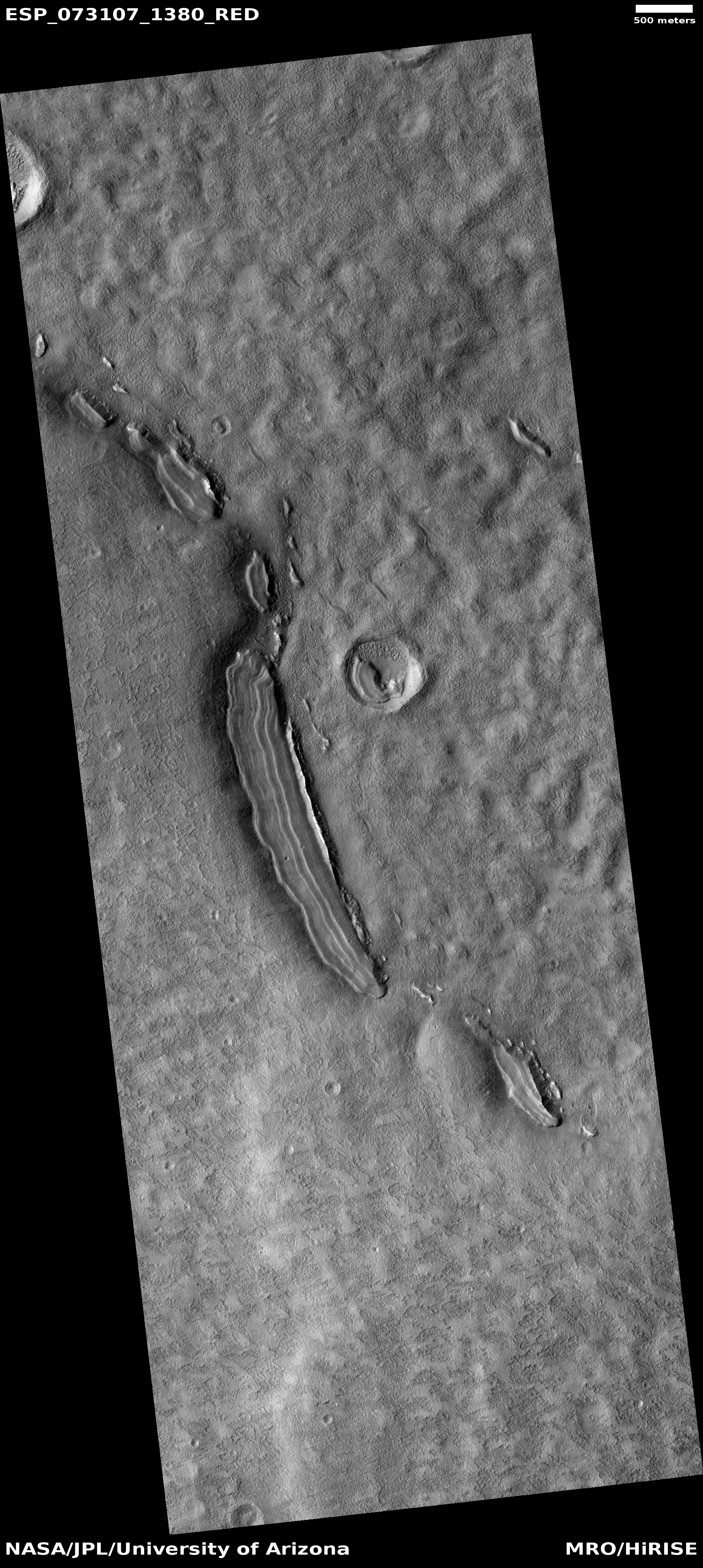
We show quantitatively that the lower surface gravity on Mars should alter the behavior of wet-based ice masses by modifying the subglacial drainage system, making efficient, channelized drainage beneath Martian ice both more likely to form and more resilient to closure. Using as an example the case of the ancient southern circumpolar ice sheet, we demonstrate that the expected finger-print of wet-based Martian ice sheets is networks of subglacial channels and eskers, consistent with the occur-rence of valley networks and inverted ridges found on the Martian highlands.
This paper confirms the sense I have gotten from the planetary community about glaciers on Mars, that it could be the flow of glaciers that formed its many meandering canyons, not liquid water. The case however is not yet proven, as this is only a computer model.


