
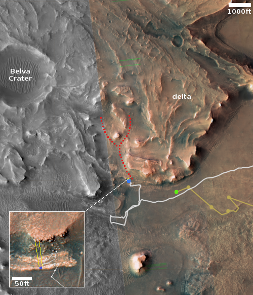
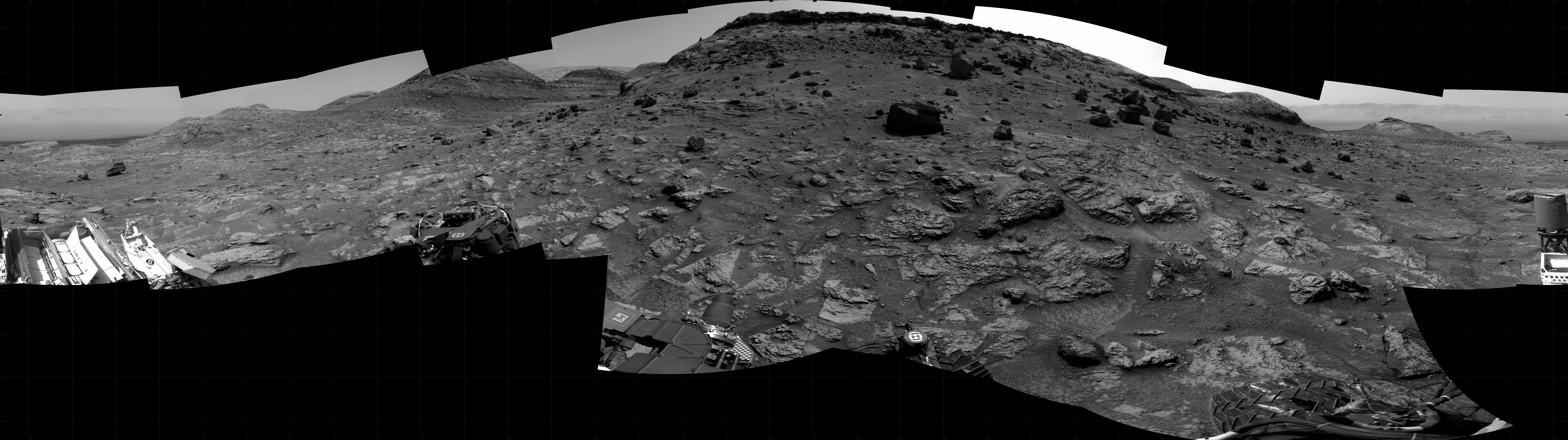
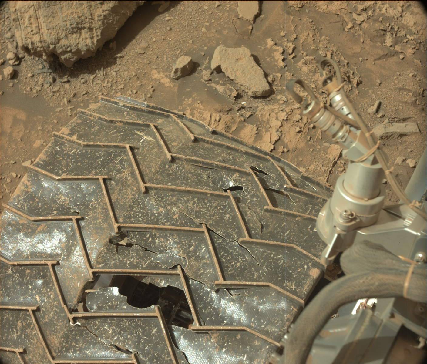
InSight seismometer data suggests no underground ice at landing site
Using a computer model combined with seismometer data gathered by the Mars lander InSight, scientists have concluded that there is little or no underground ice in the equatorial region where InSight sits.
From the paper’s abstract:
We use rock physics models to infer cement properties from seismic velocities. Model results confirm that the upper 300 m of Mars beneath InSight is most likely composed of sediments and fractured basalts. Grains within sediment layers are unlikely to be cemented by ice or other mineral cements. Hence, any existing cements are nodular or formed away from grain contacts. Fractures within the basalt layers could be filled with gas, 2% mineral cement and 98% gas, and no more than 20% ice. Thus, no ice- or liquid water-saturated layers likely exist within the upper 300 m beneath InSight. Any past cement at grain contacts has likely been broken by impacts or marsquakes.
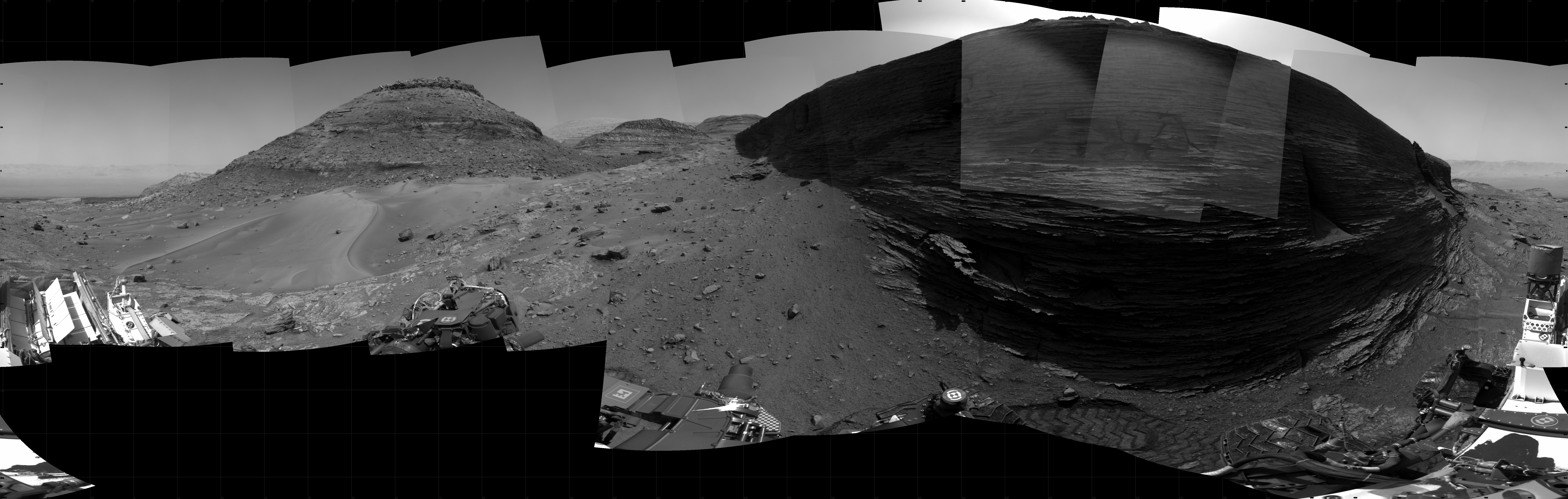
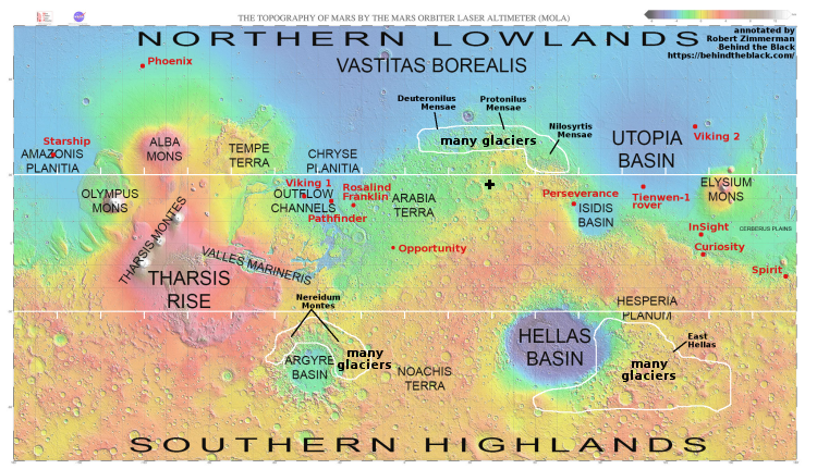
As the lander sits just north of the equator in the red planet’s equatorial zone, which ample orbital data has suggested is a dry region (as shown in the global map below), this result is not a surprise. It does provide further confirmation however of this conclusion, that if there is any water on Mars within 30 degrees latitude of the equator, it will be deep underground, and likely only in certain regions.
» Read more


