
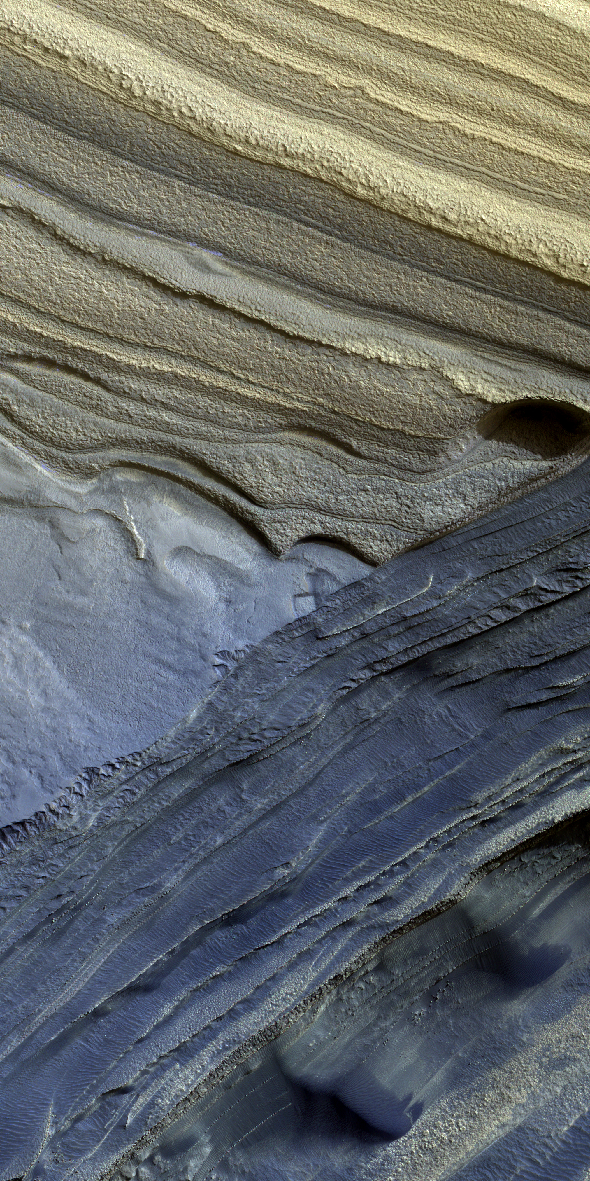
The colorful layers of the Martian north pole icecap
Click for full image.

Click for full image.
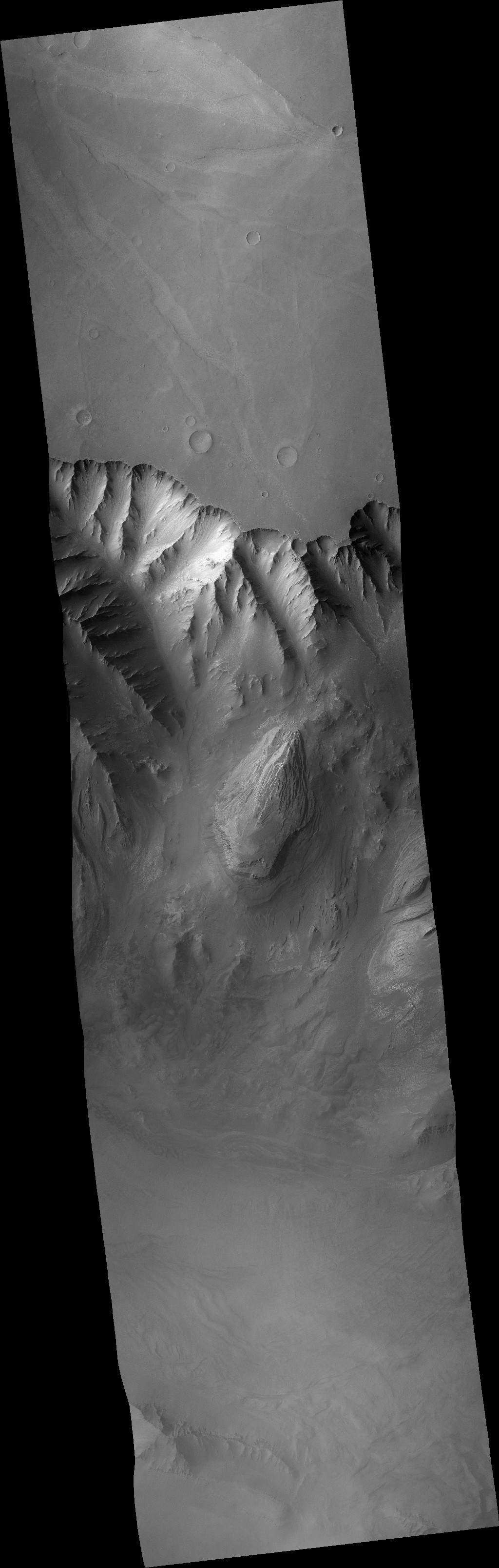
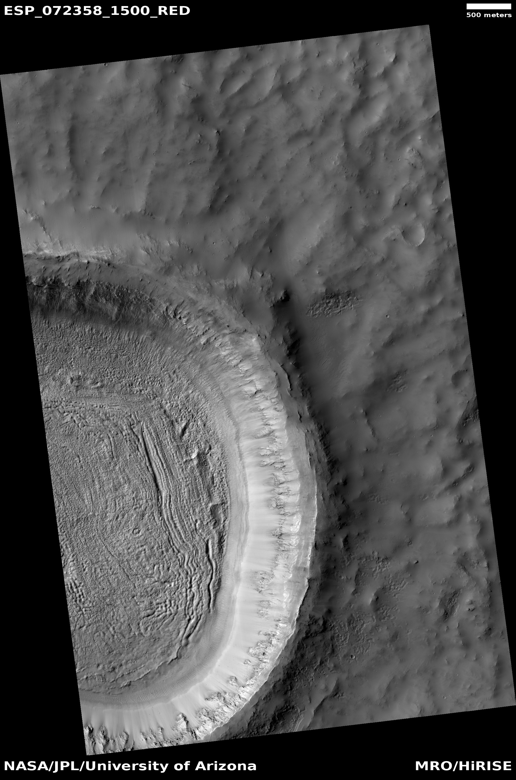
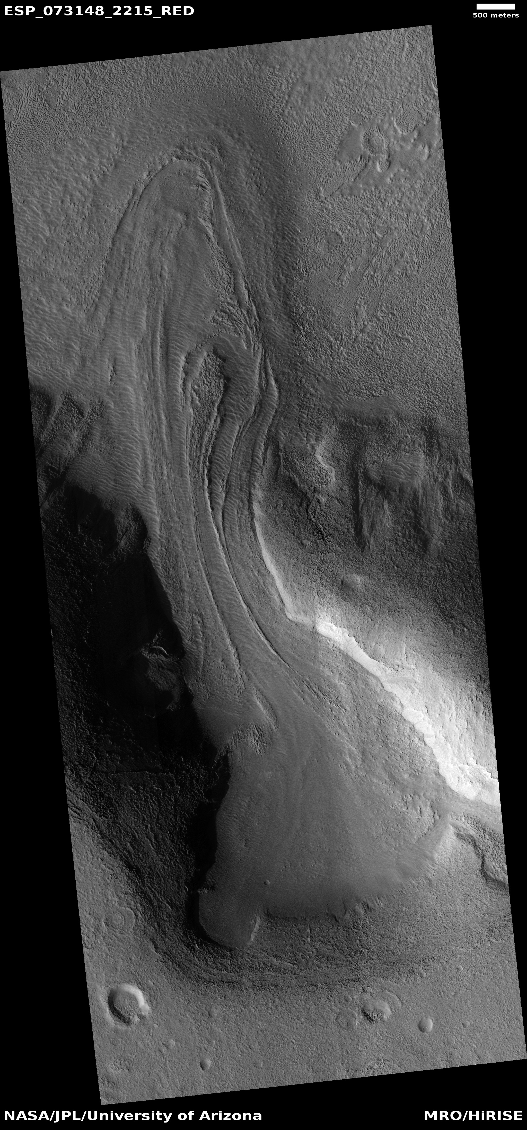
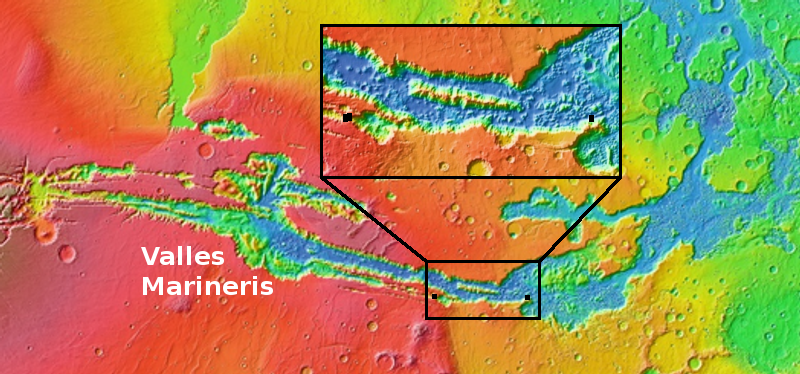
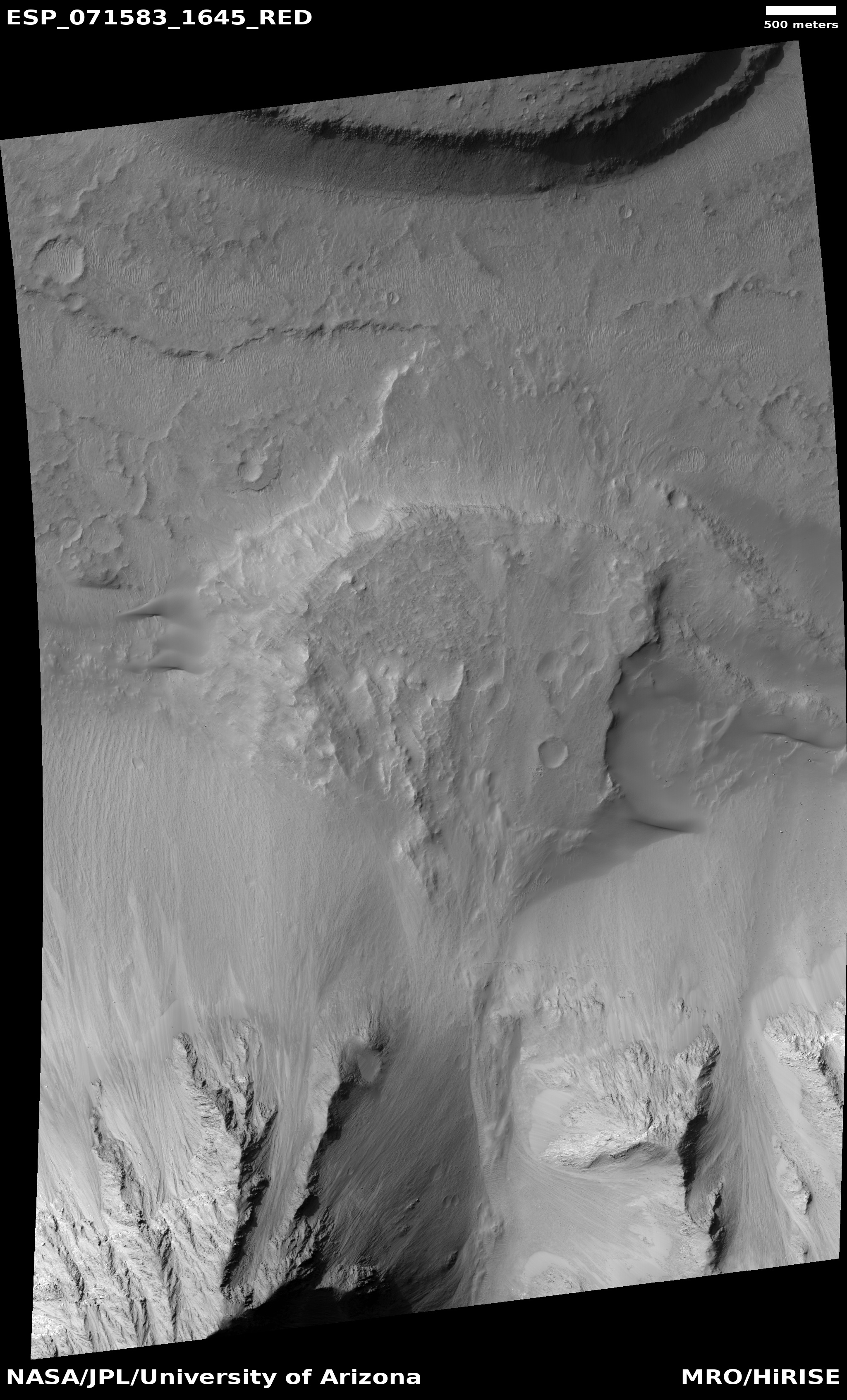
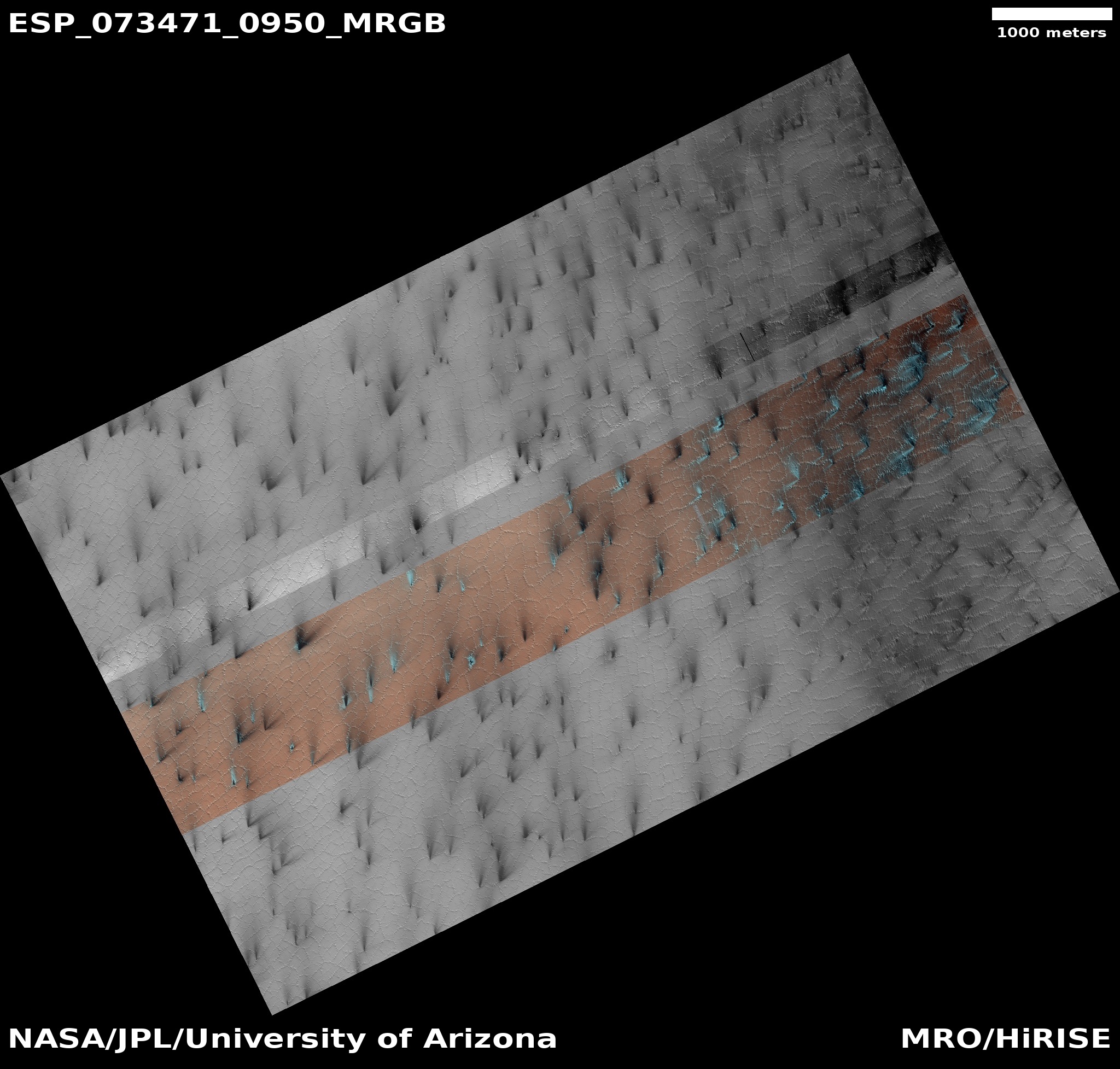
Today’s cool image above, rotated, reduced, and annotated to post here, comes from today’s picture of the day for the high resolution camera on Mars Reconnaissance Orbiter (MRO), which in turn is a retrospective of a captioned image first taken in 2010. The photo to the right, rotated, cropped, and reduced to post here, shows a larger area to provide some context. For this image north is towards the top. The rectangle indicates the area covered by the picture above.
The ice cap at the north pole is about 600 miles across and a little less than 7,000 feet deep, made up of many layers that are a mixture of water ice and cemented dust and sand. From the picture’s caption:
In many locations erosion has created scarps and troughs that expose this layering. The tan colored layers are the dusty water ice of the polar layered deposits; however a section of bluish layers is visible below them. These bluish layers contain sand-sized rock fragments that likely formed a large polar dunefield before the overlying dusty ice was deposited.
The lack of a polar ice cap in this past epoch attests to the variability of the Martian climate, which undergoes larger changes over time than that of the Earth.
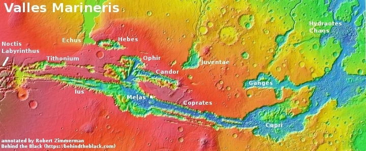
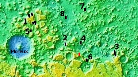
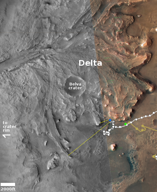
The overview map below provides some further context.
» Read more


