
A volcanic extrusion on the floor of Valles Marineris?
Click for full image.
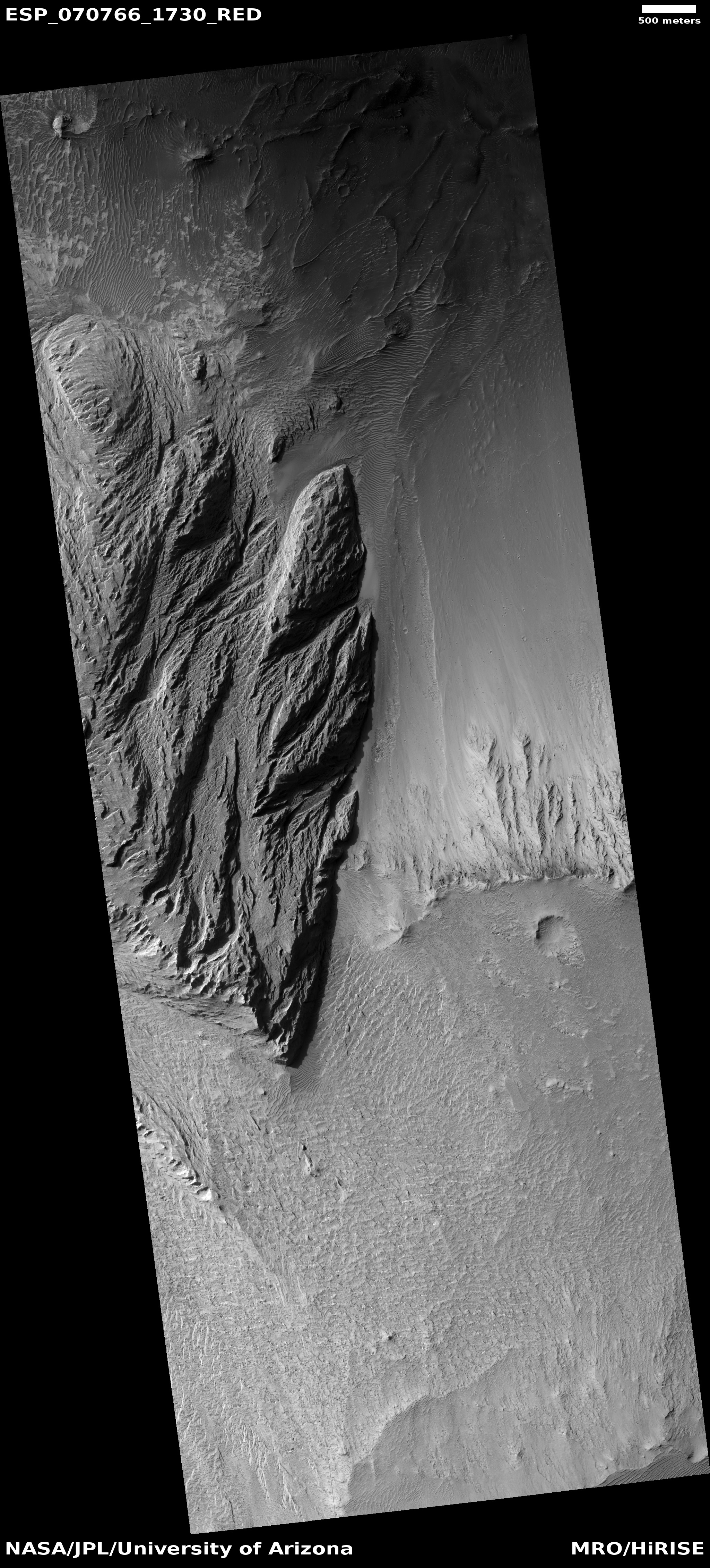
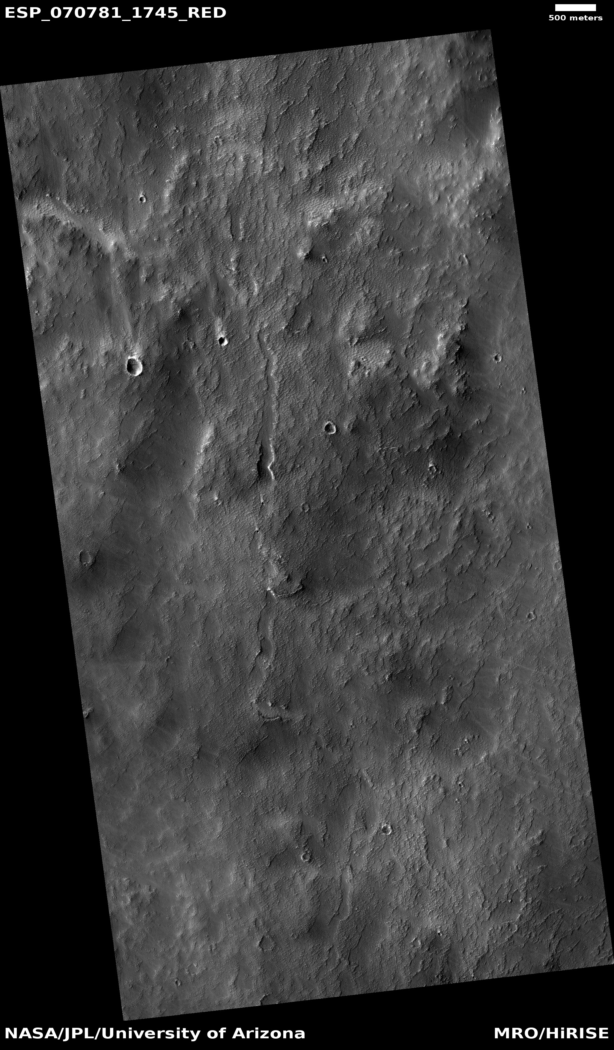
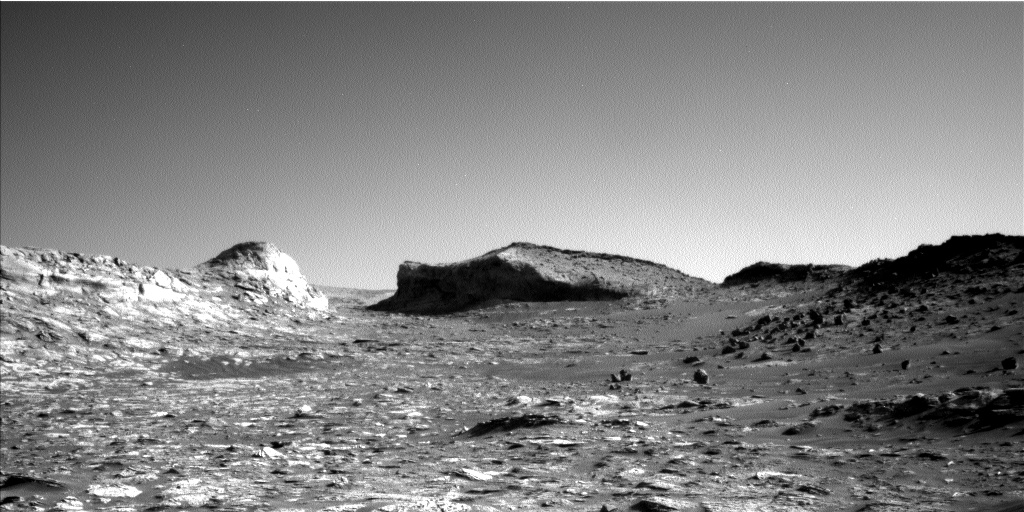
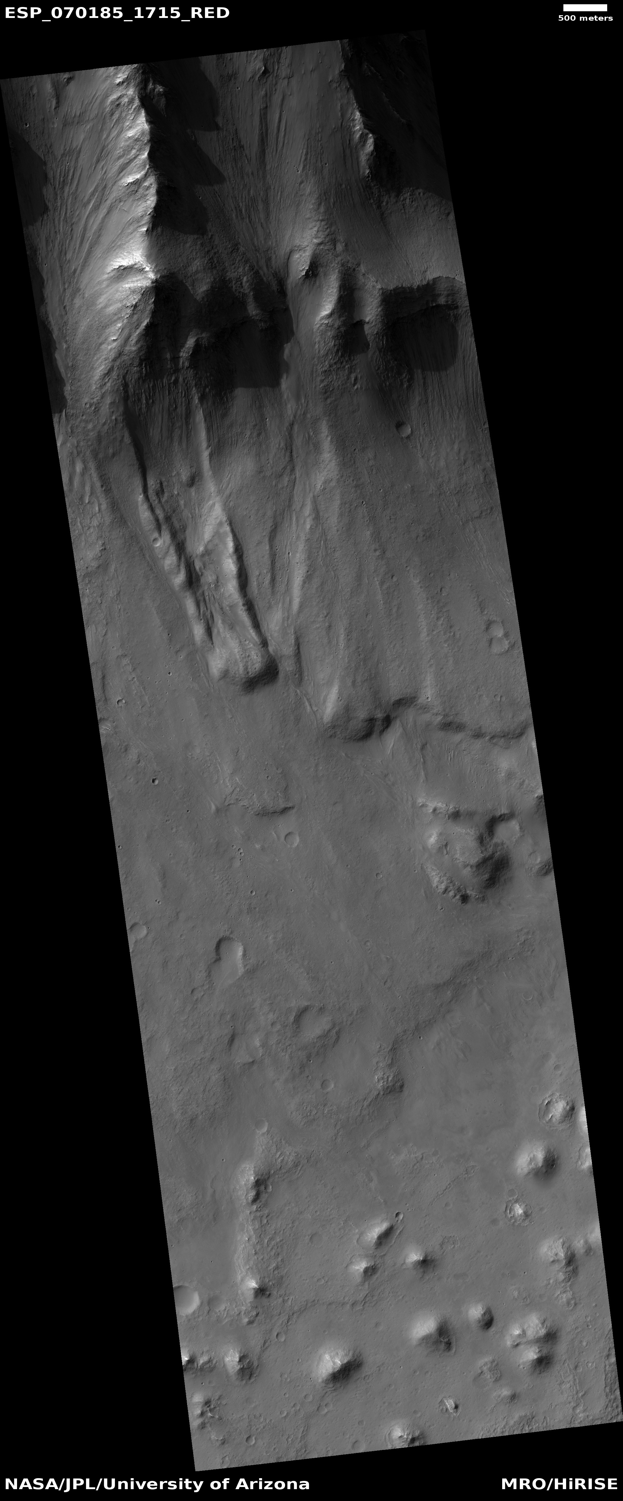
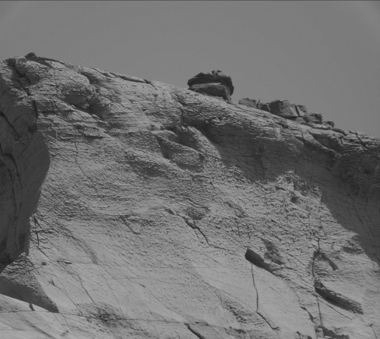
Cool image time! The photo to the right, rotated, cropped, and reduced to post here, was taken on August 31, 2021 by the high resolution camera on Mars Reconnaissance Orbiter (MRO). It shows what the science team labels a “possible contact between two units.”
I think that contact is the point where that eroded mountain touches the surrounding smooth canyon floor. The mountain itself looks to me to be a very eroded extrusion of lava that was placed there from below a very very long time ago, covered later by material, and now exposed for a long enough period that its surface appears to have been carved by wind and even possibly flowing water or ice.
Because it is lava it is more resistant to erosion, which is why it sits higher than the smooth terrain around it. Even though both experienced the same processes of wear over time, the mountain’s surface was only carved away partly, while the material that had been in the floor was washed away entirely.
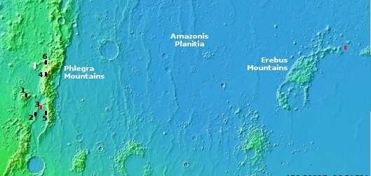
This is all a guess. However, a look below at the overview map, showing this mountain’s location on Mars, as well as MRO’s wider view from its context camera, I think strengthens my hypothesis.
» Read more


