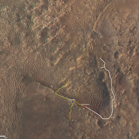
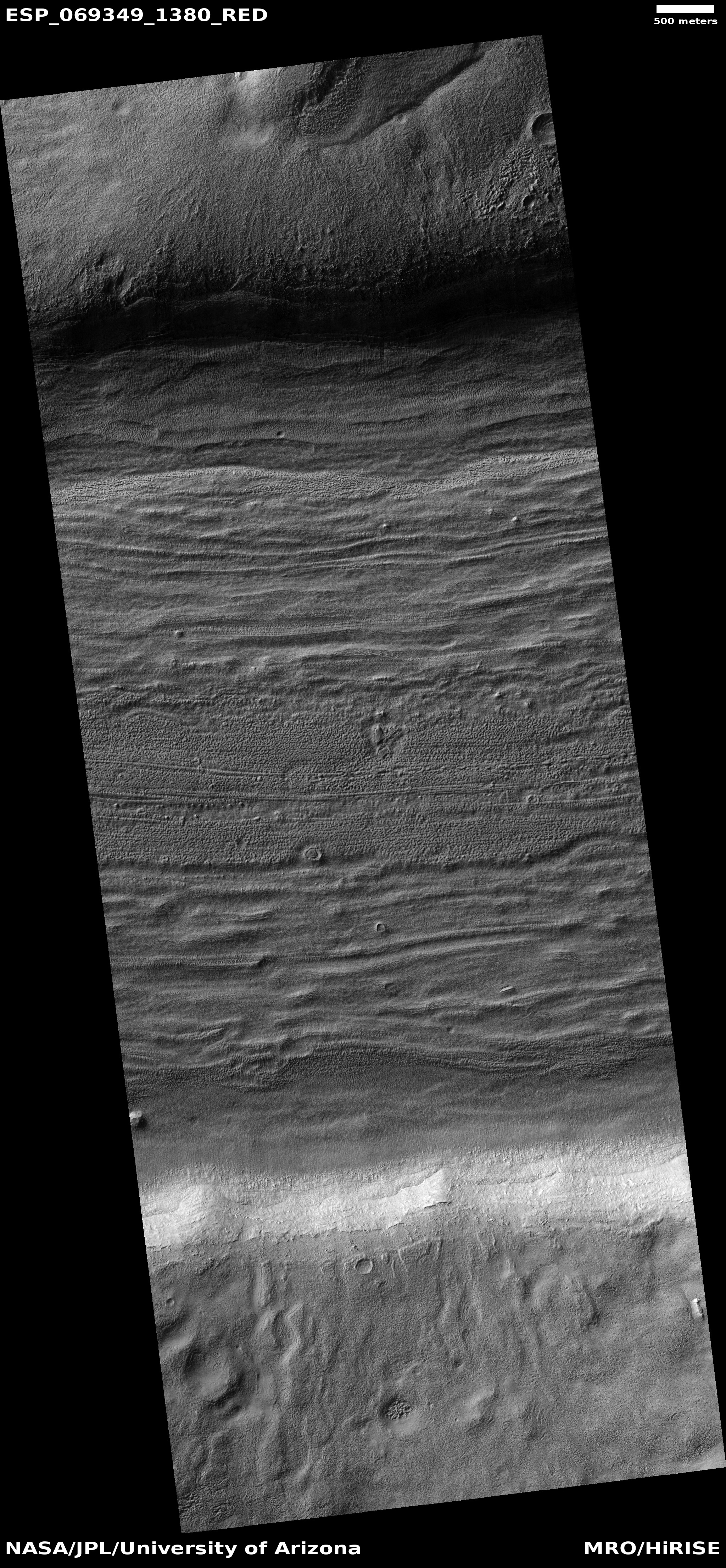
Click for full image.
The first attempt by the Mars rover Perseverance to obtain a core sample has apparently failed.
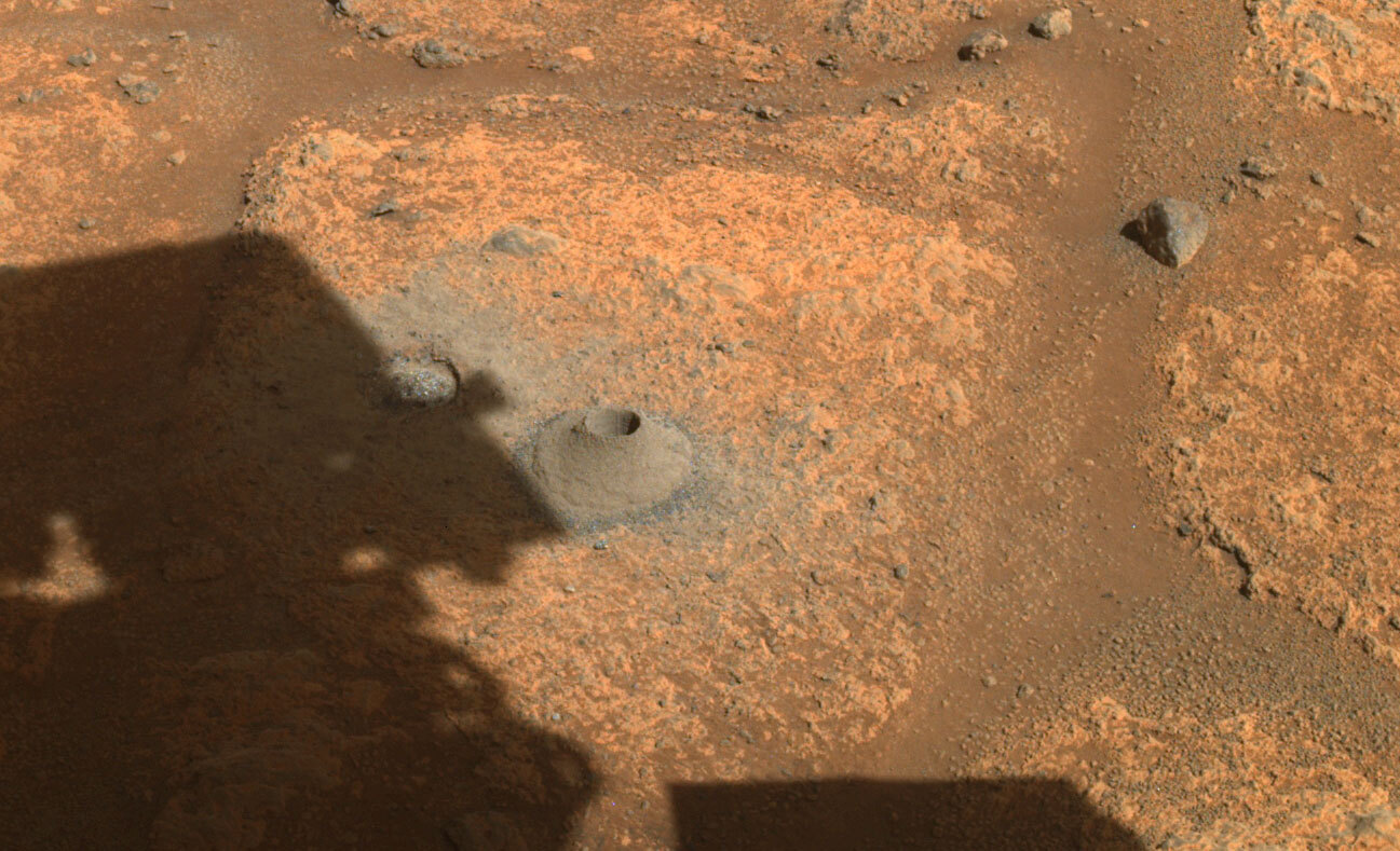
The failure does not appear to be technical. All the hardware appears to have worked. When they inspected the interior of the hollow core drill however no sample was seen inside.
“The sampling process is autonomous from beginning to end,” said Jessica Samuels, the surface mission manager for Perseverance at NASA’s Jet Propulsion Laboratory in Southern California. “One of the steps that occurs after placing a probe into the collection tube is to measure the volume of the sample. The probe did not encounter the expected resistance that would be there if a sample were inside the tube.”
…”The initial thinking is that the empty tube is more likely a result of the rock target not reacting the way we expected during coring, and less likely a hardware issue with the Sampling and Caching System,” said Jennifer Trosper, project manager for Perseverance at JPL. “Over the next few days, the team will be spending more time analyzing the data we have, and also acquiring some additional diagnostic data to support understanding the root cause for the empty tube.” [emphasis mine]
Do the highlighted words remind you of anything? They do for me. The first thing I thought of when I read this was the drilling mole for InSight’s heat sensor. It failed in its effort to drill into the Martian surface because the nature of the Martian soil was different than expected. It was too structurally weak, and would break up into soft dust rather than hold together to hold the mole in place.
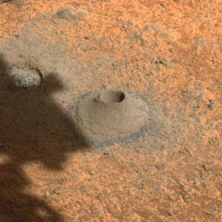
In the case of Perseverance, it appears right now (though this is not confirmed) that the drill successfully drilled into the ground, with its core filling with material, but when the core was retracted, that material simply fell out, as if it was too structurally weak to maintain itself inside the core.
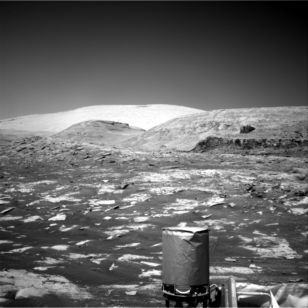
The photo above of the drill hole and its thick pile of dust appears to support this hypothesis. Even though they drilled into what looked like bedrock the act of drilling fragmented that bedrock apart.
I am speculating based on limited information, so I am likely wrong. For example, the drill certainly has sensors to detect the density and structural strength of the rock it is drilling into. The engineers will check those numbers during drilling. If the rock doesn’t appear dense enough or structurally strong enough for a core sample, I would expect them to pick a different spot.
If true however it means that obtaining core samples at many locations in Jezero Crater will simply not be possible. This does not mean no samples will be obtained, because there are definitely places on Mars where the ground’s structure is solid enough for this method to work. Curiosity definitely found this to be true, when if found several places on Vera Rubin Ridge where its drill didn’t have the strength to penetrate the rock.


