
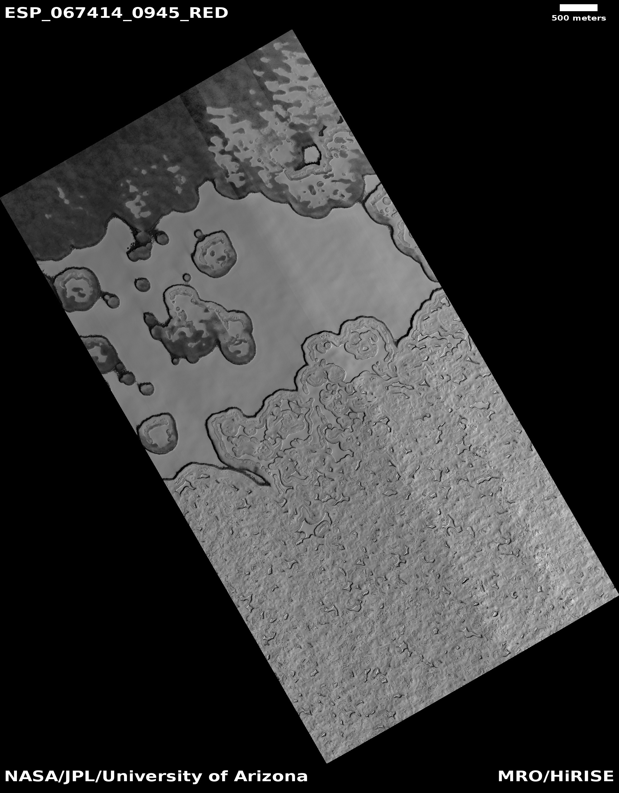
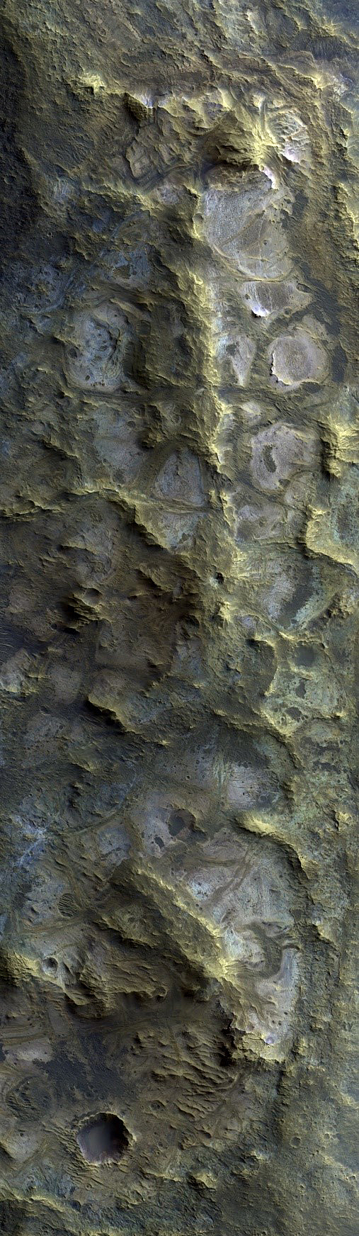
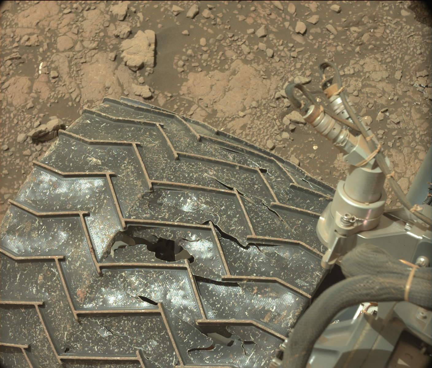
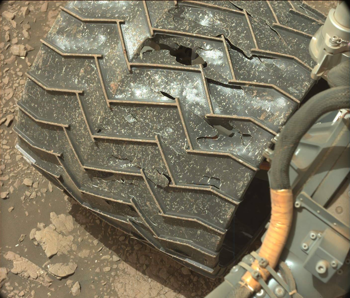
The Icy Surface of Mars
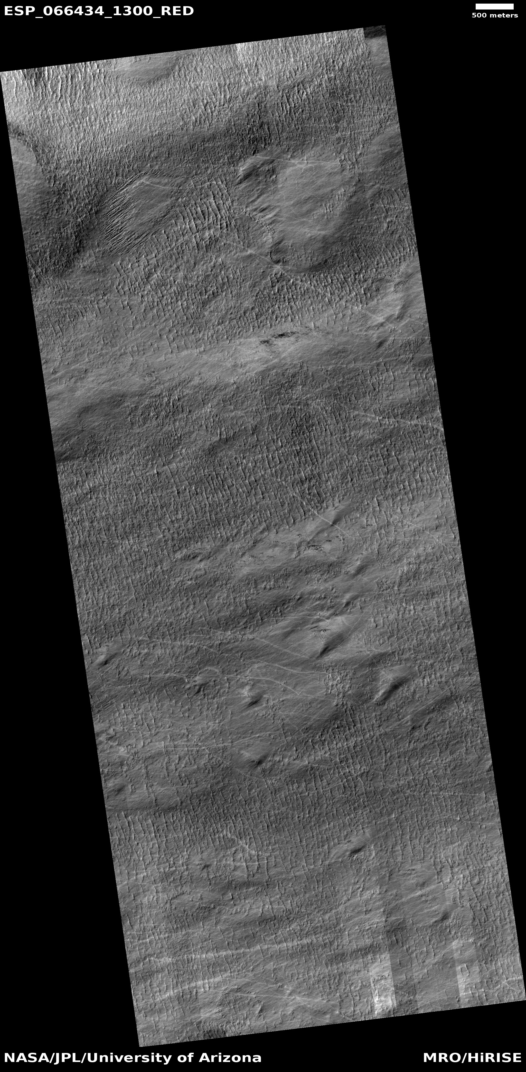
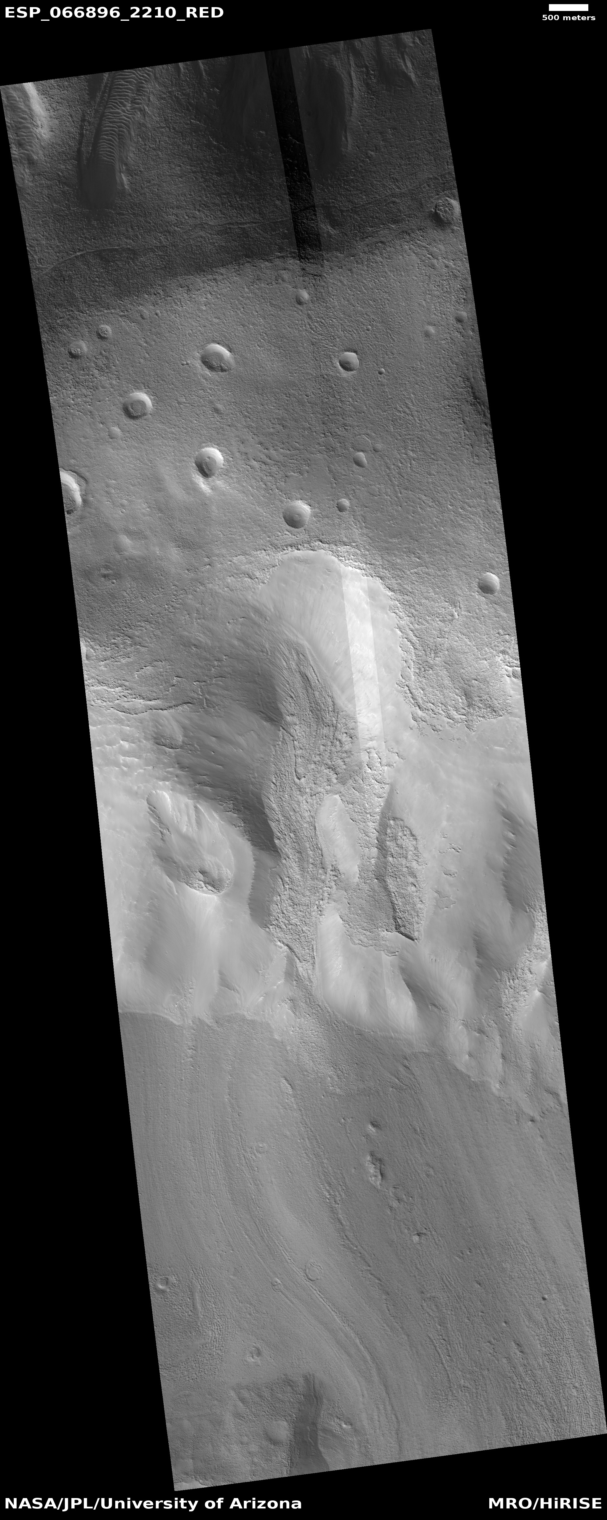
Two newly published science papers in the past few days have once again reinforced the growing evidence that much of Mars from 30 degrees latitude to its poles is very icy, with much of that ice found close to the surface.
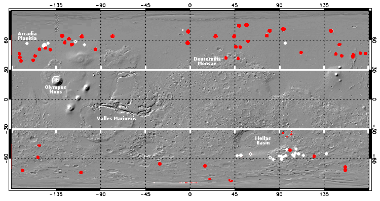
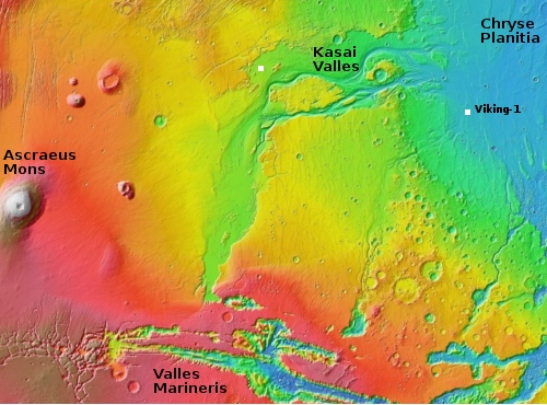
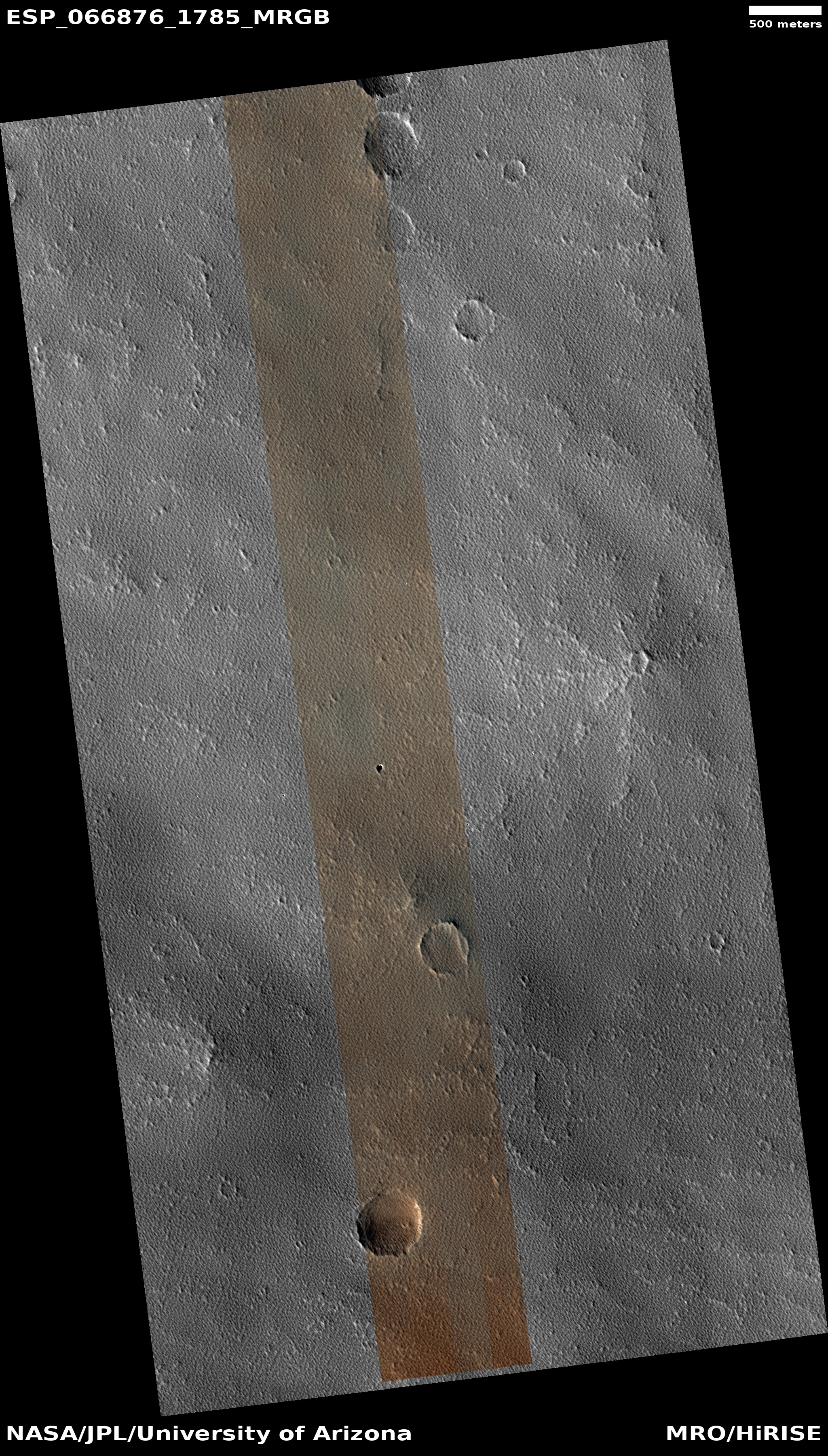
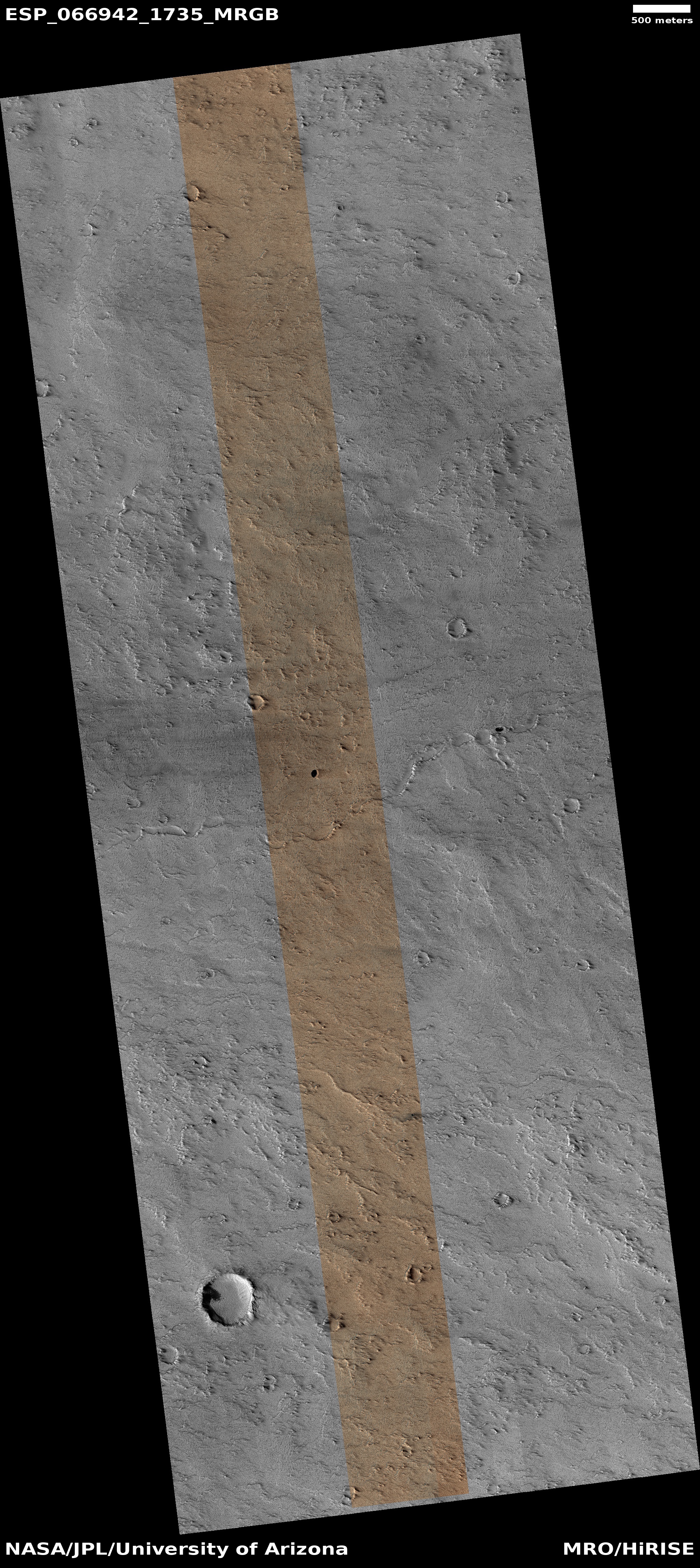
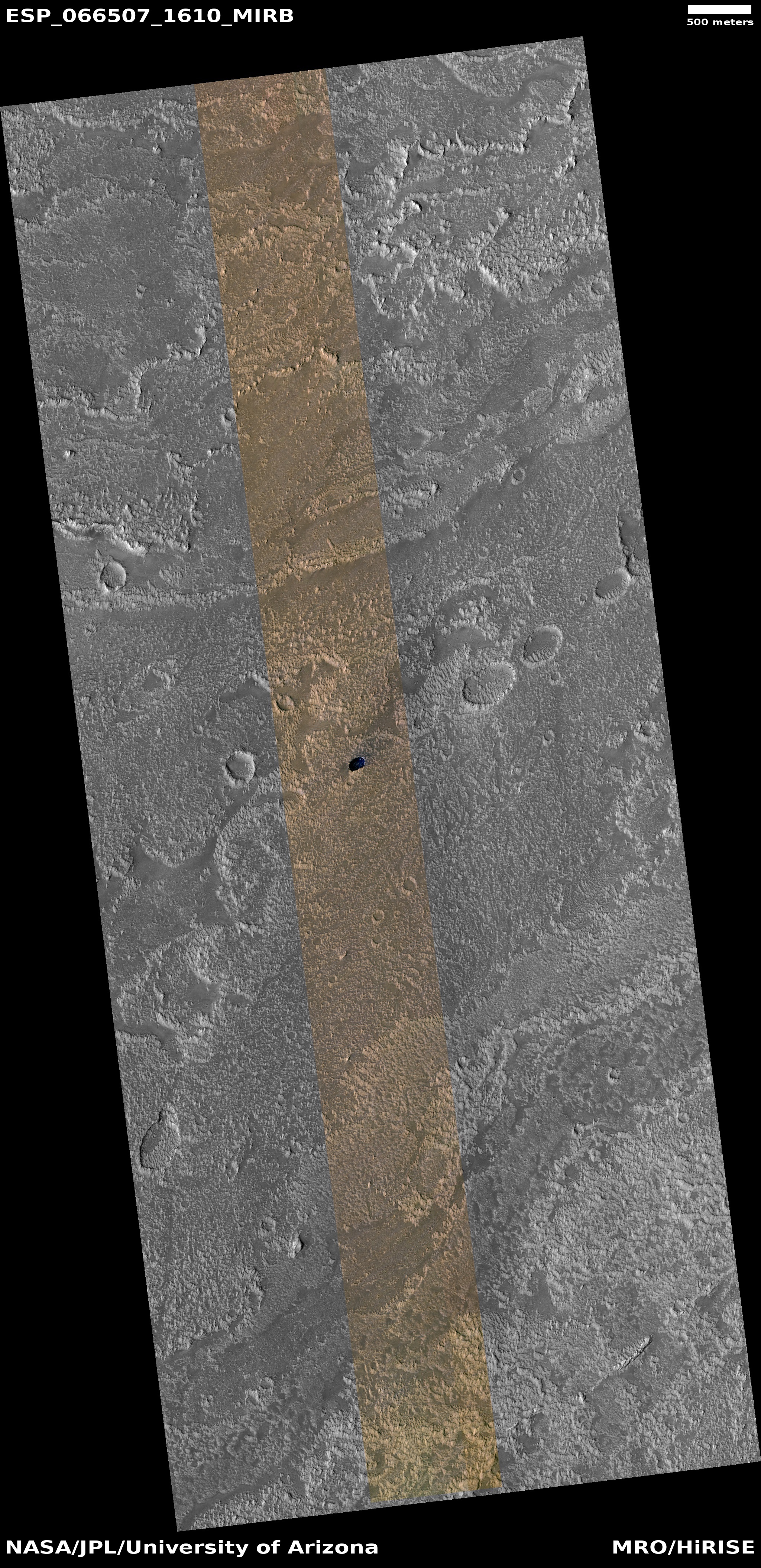
The map above, adapted and annotated by me from figures 4 and 12 of one of those papers (“Widespread Exposures of Extensive Clean Shallow Ice in the Mid‐Latitudes of Mars”), show the areas on Mars where the evidence suggests ample and easily accessible ice, underground but close to the surface.
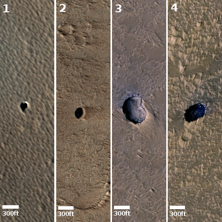
The red dots and diamonds indicate recent impact craters that temporarily exposed the underground ice layer that would normally not be visible. The white dots and diamonds indicate ice scarps with visible ice layers in their cliff faces. The size of these locations is greatly exaggerated.
The two hatched lines at 30 degrees latitude, north and south, indicate the closest to the equator that scientists have detected evidence of glacial ice. It is also the closest to the equator that the second new paper, “Water Ice Resources Identified in Martian Northern Hemisphere “, has found evidence of underground ice in the north. From the abstract of this second paper:
» Read more

