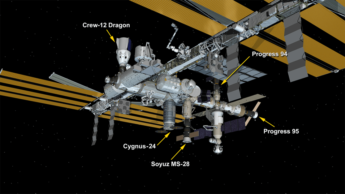
Russia agrees to extend ISS partnership through 2030
Russia today announced that it will extend its operations at ISS through 2030, including agreeing to continue the barter exchange of astronaut flights as long as the station is operational.
Russian-American crews will continue conducting seat-swap flights to the International Space Station (ISS) as long as the orbital outpost remains operational, Russian State Space Corporation (Roscosmos) Director General Dmitry Bakanov said. “We have agreed in principle on extending the terms (for the ISS – TASS) until 2030, and of course, since the ISS has a Russian and an American segment, seat-swap flights involving Russian cosmonauts and NASA astronauts will also continue,” he said at a press conference following the Soyuz MS-29 spacecraft’s docking with the ISS.
Bakanov added, however, that it was too early to say when a formal legal agreement would be signed.
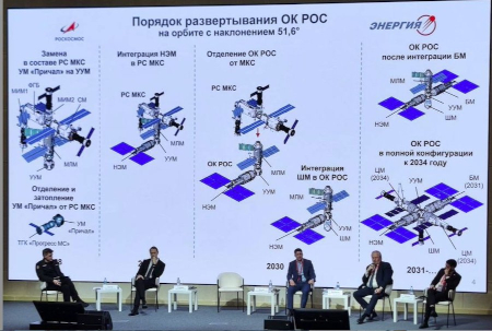
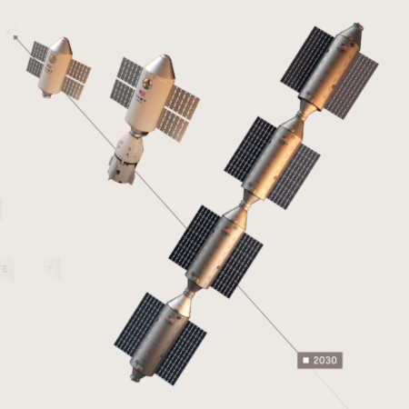
Russia’s plan for launching its new station.
Click for full resolution image.
These agreements come from meetings between Bakanov and NASA administrator Jared Isaacman in Russia this week. Isaacman’s visit is the first by a NASA administrator in about eight years. As part of the discussions, Russia also agreed to “begin more detailed coordination of satellite operations to prevent collisions.”
Isaacman likely had a very easy time getting Russia to agree to these items, as Russia’s ability to launch its own planned new Russian Orbital Station (ROS) is becoming increasingly difficult due to the war in the Ukraine and the overall decline in its industrial capabilities in the past two decades. Bakanov knows ROS will almost certain not launch on time. The present public plan — as shown in the graphic to the right — says its first module will launch sometime in the next four years, but don’t bet on it.



.jpg)