
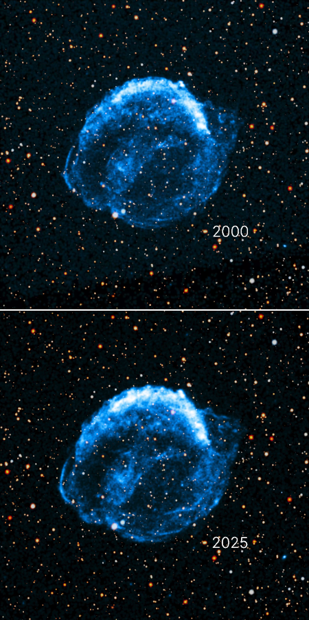
Astronomers detect a bar of iron in the center of the Ring Nebula
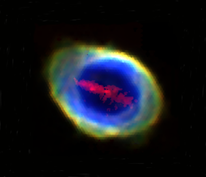
Composite image showing iron bar inside Ring Nebula.
Click for original.
The uncertainty of science: Using a new instrument on the Herschel Telescope in Chile, astronomers have detected a bar of iron cutting across the hole in the center of the Ring Nebula. You can read their paper here.
The cloud of iron atoms, described for the first time in Monthly Notices of the Royal Astronomical Society, is in the shape of a bar or strip: it just fits inside the inner layer of the elliptically shaped nebula, familiar from many images including those obtained by the James Webb Space Telescope at infrared wavelengths. The bar’s length is roughly 500 times that of Pluto’s orbit around the Sun and, according to the team, its mass of iron atoms is comparable to the mass of Mars.
The bar does not cross the nebula’s central star, nor does it exhibit the kind of motion seen by jets flowing outward from such stars. From the paper’s conclusion:
At present, there seem to be no obvious explanations that can account for the presence of the narrow ‘bar’ of [Fe v] and [Fe vi] emission seen in our WEAVE spectra to extend across the central regions of the Ring Nebula. Fresh observations of this newly uncovered feature at much higher spectral resolution seem essential to make progress
The scientists toss out the possibility that the bar is the remains of a rocky planet vaporized at some point in the system’s past, but that is simply a wild guess.


