
Junk science now dominates the reporting of the propaganda press
The Sciences, when the goal of science journalism
was to report real discoveries
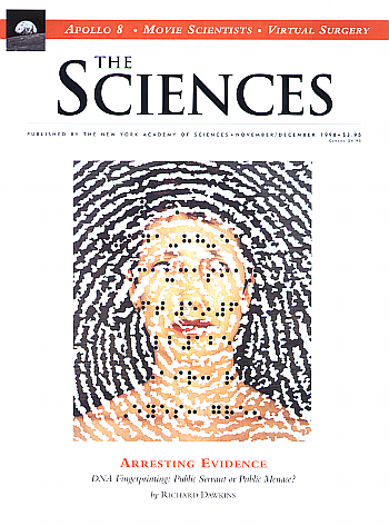
When I started my career as a science journalist in the early 1990s, Peter Brown, the editor of award-winning magazine The Sciences (now sadly discountinued), assigned me the job of writing short news pieces. He pointed at a three-foot-high pile of press releases, and suggested I go through them to find some scientific discovery worth reporting.
As I went through this pile each month, I found that 90% described results that while interesting certainly did not merit any news coverage. Many described theories that “might” or “could” be true, hardly examples of solid new knowledge. I would find a handful of releases worth a news report, while the remaining 90% would get thrown in the dumpster.
Unfortunately, limited space in the magazine often meant that only one of the stories I thought worthwhile would be reported, but it also meant the story we picked was of real significance. The reader was guaranteed to read about important research results, because the technology then forced us to be discriminating.
That was then. Today, things are very different. The web allows modern news outlets to report about practically every press release they get. Nothing gets thrown away. If anything, new outlets today relish reporting on the least significant science results, merely because the scientists speculate about some amazing final events that “might,” “could,” or “may” happen, if their theories are right. The press eats this junk science up, because it produces great clickbait that, while as vapid as cotton candy, sounds really cool or exciting. That these speculations have no basis in reality is irrelevant.
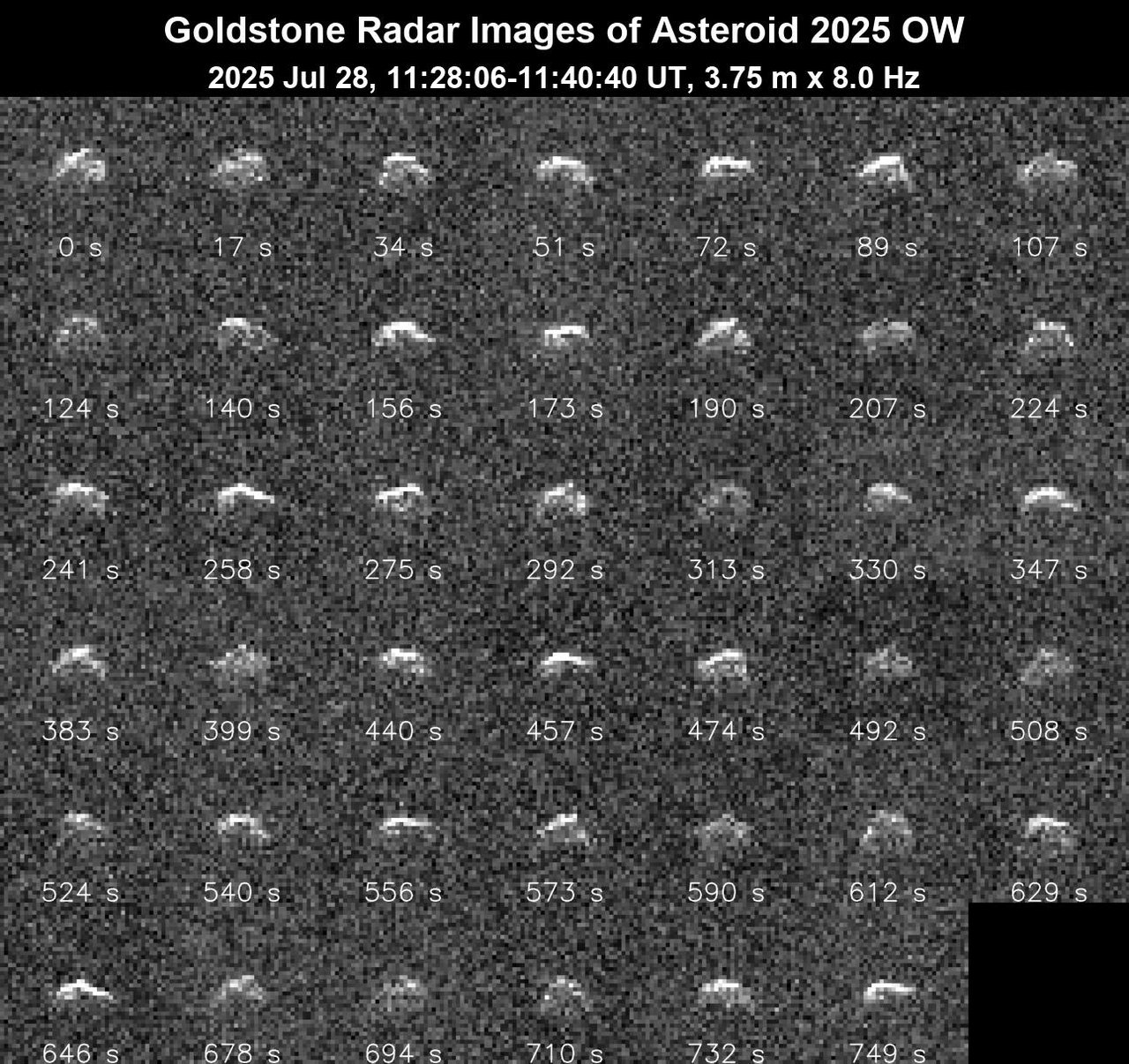
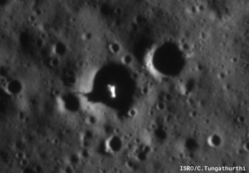
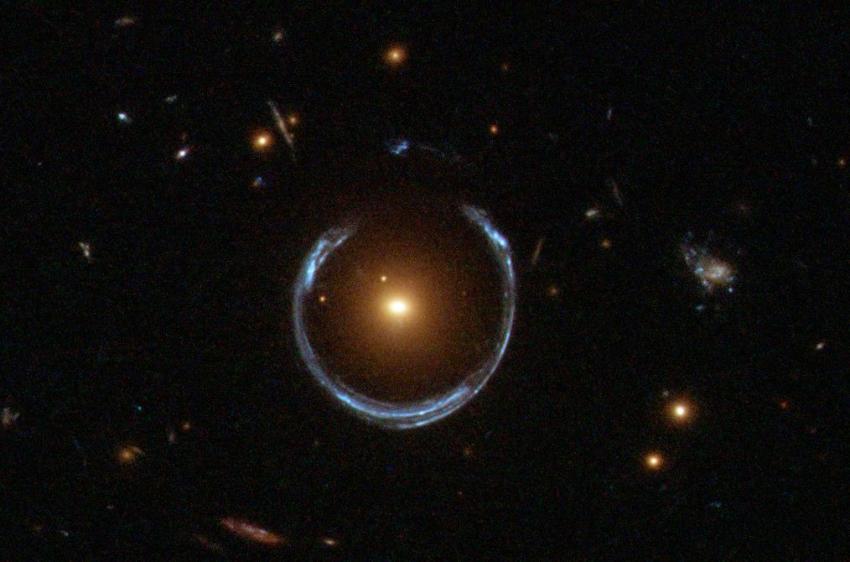
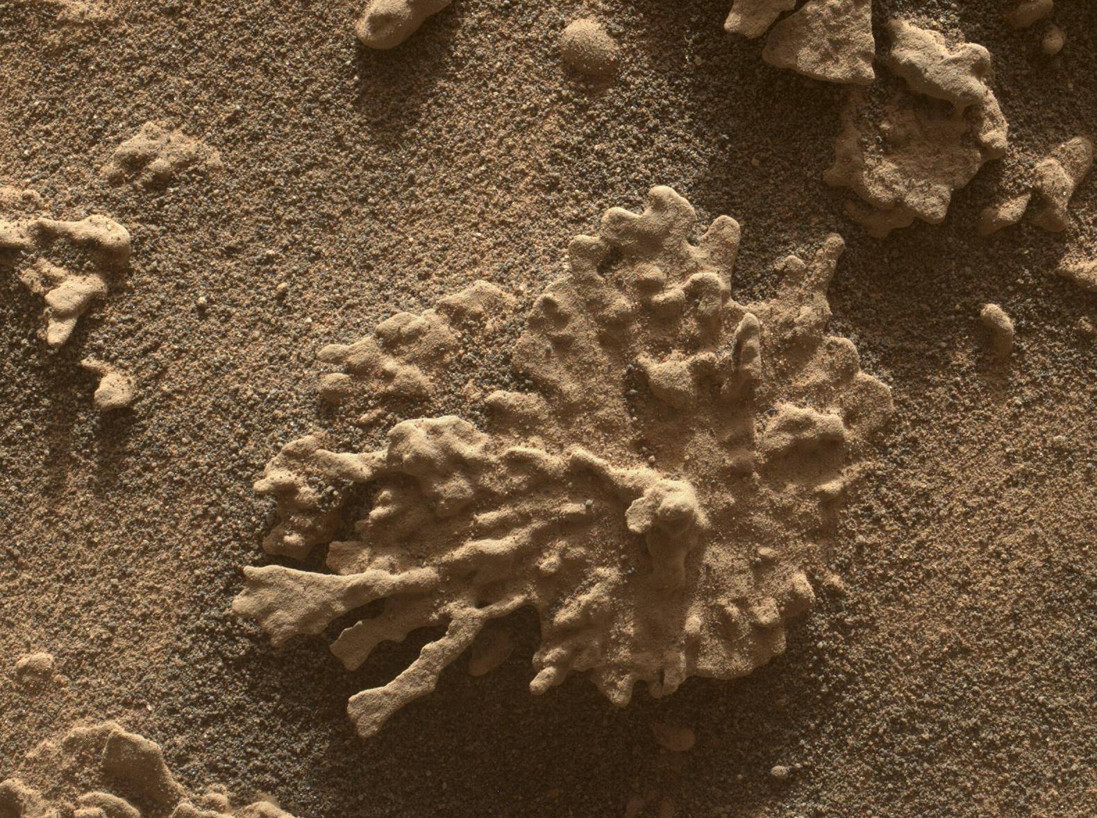
To give you an idea of what I mean, here are a few examples from our modern propaganda press that I have gathered in just the past week:
» Read more


