What the heck caused these cones to align on Mars?
Click for original image.
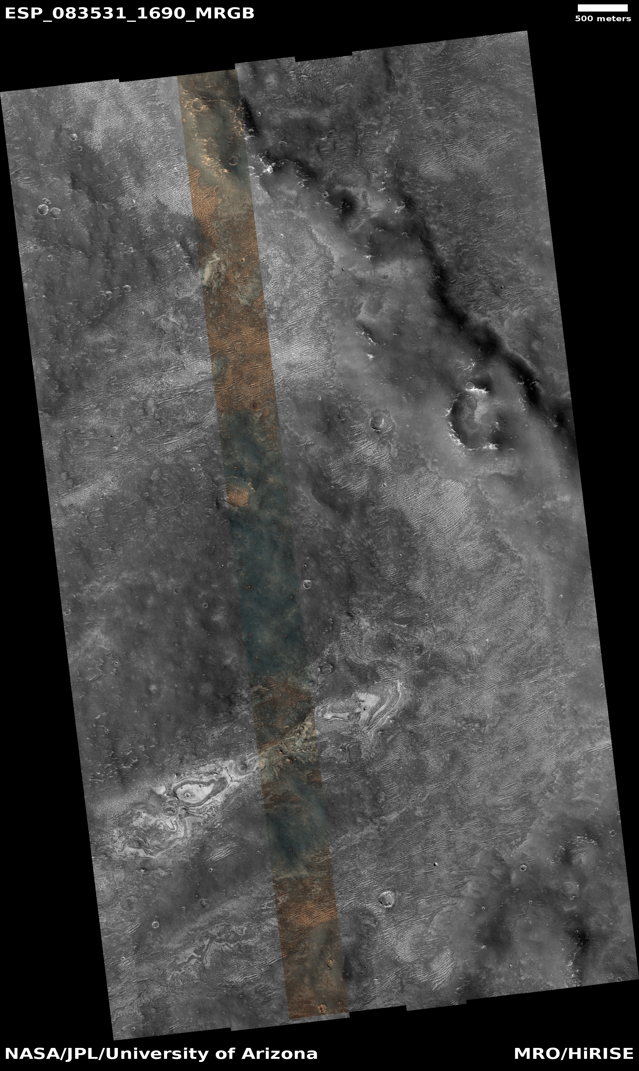
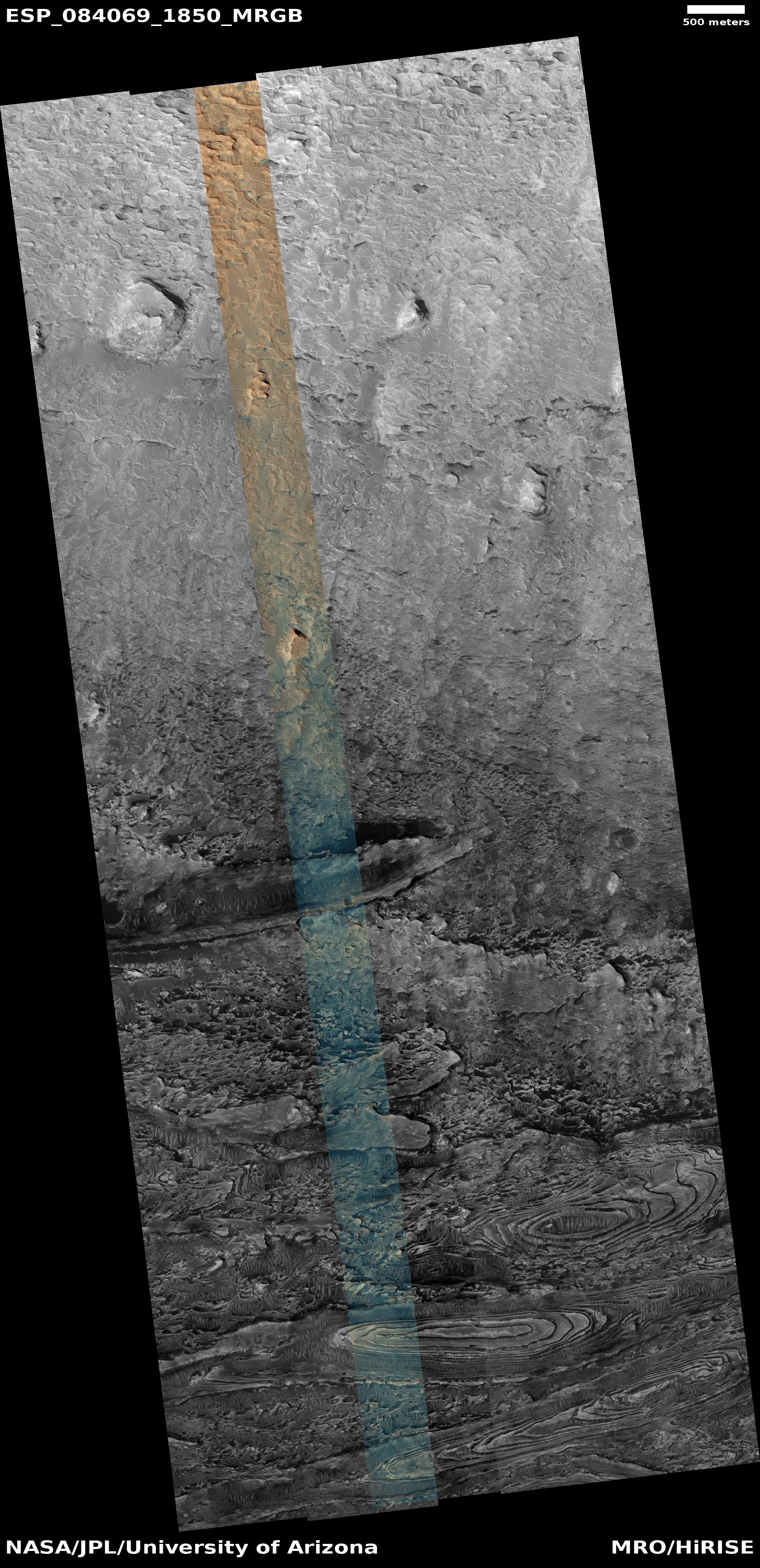
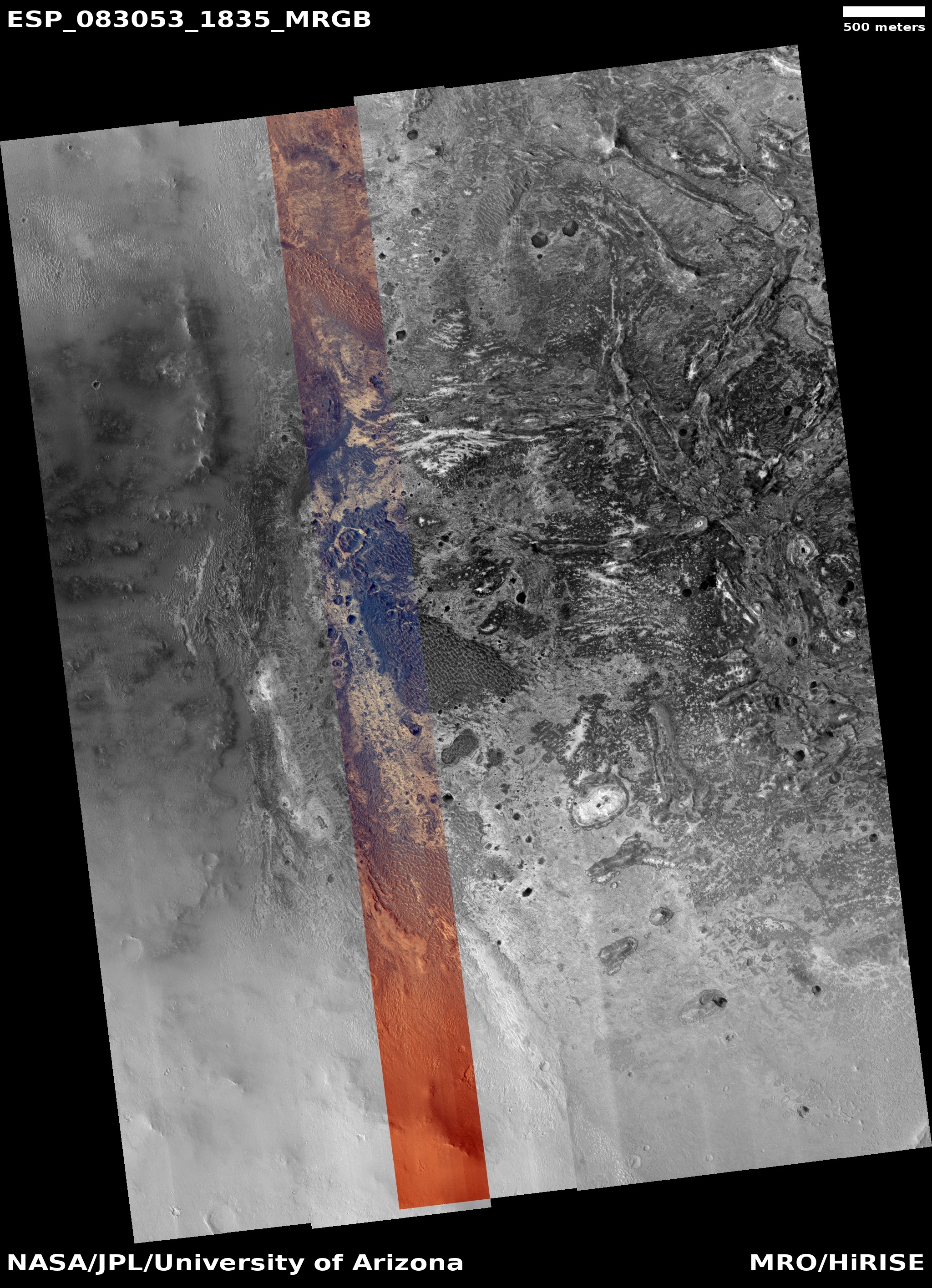
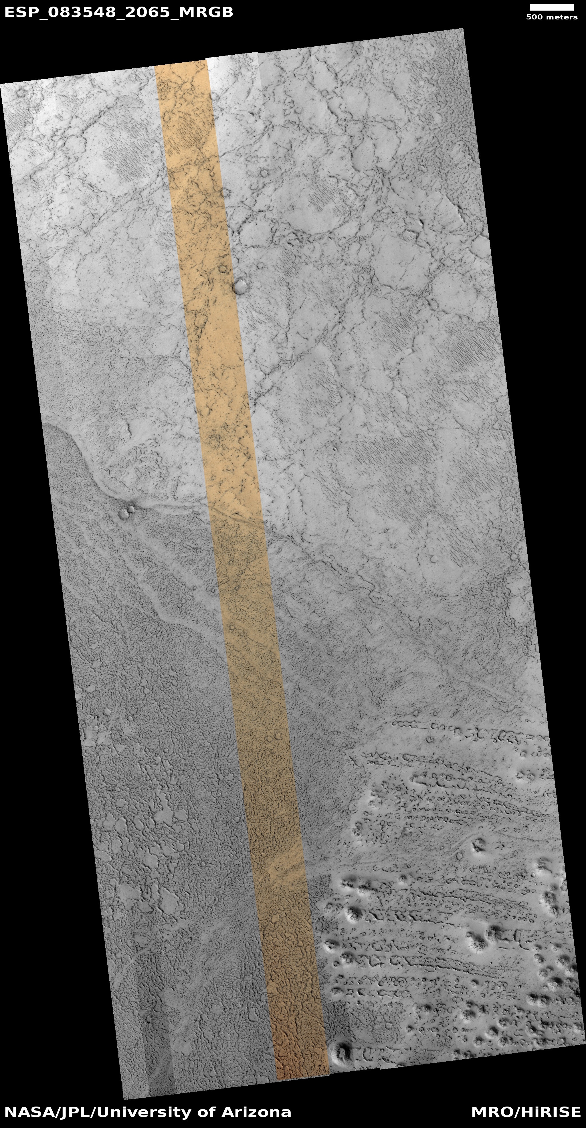
Time for another “What the heck?” cool image! The picture to the right, cropped, reduced, and sharpened to post here, was taken on May 23, 2024 by the high resolution camera on Mars Reconnaissance Orbiter (MRO). It shows what the science team labels as “longitudinally aligned cones”.
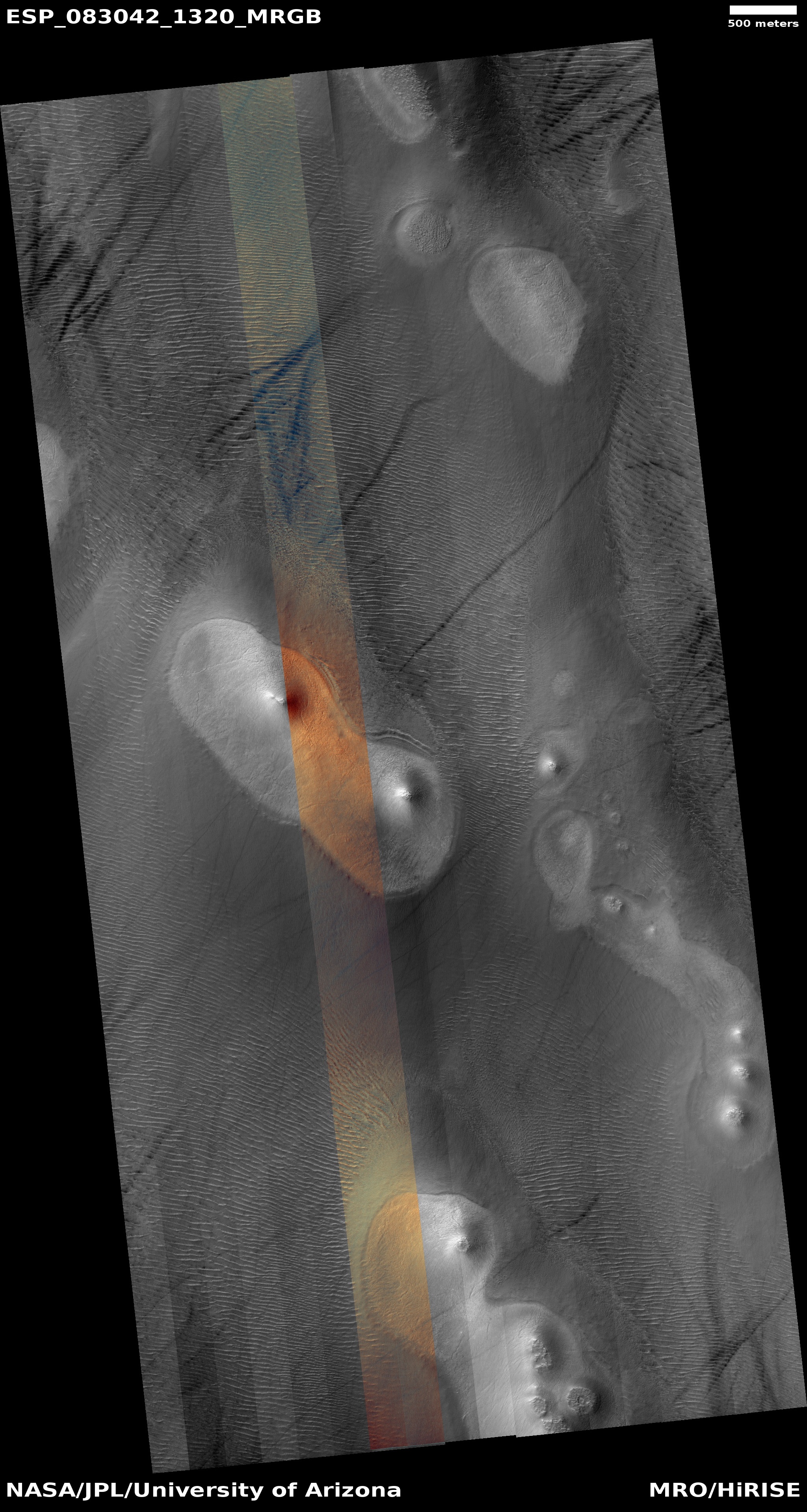
To my eye the cones visibile in this picture seem more aligned latitudinally, to the east-west, instead of longitudinally, north-south, but the larger view in the inset on the overview map below shows that on a larger scale, the cones do appear aligned in a north-south direction.
Either way, this is one of those photos from Mars orbit that leaves me entirely baffled. The cones and the flow feature that cuts across the middle of the image might be either volcanic or glacial, but it is beyond my pay grade to explain what caused this patch of aligned cones.
» Read more