Chang’e-6 ascender carrying lunar samples lifts off Moon
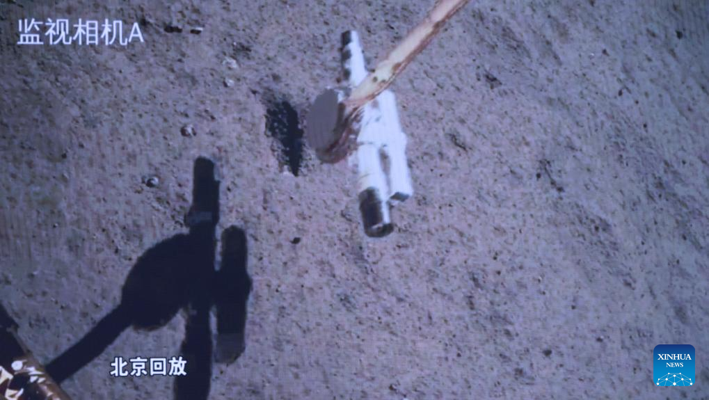
Chang’e-6’s robot arm grabbing ground samples.
Image is a screen capture from mission control
main screen. Click for original.
Early today the ascender of China’s Chang’e-6 lunar probe lifted off the surface on the Moon’s far side, carrying the samples it had obtained both by drilling and the use of a robot arm.
The ascender took off at 7:38 a.m. (Beijing Time) from the moon’s far side. A 3,000-newton engine, after working for about six minutes, pushed the ascender to the preset lunar orbit, according to the CNSA.
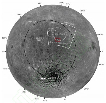
The Chang’e-6 probe, comprising an orbiter, a lander, an ascender and a returner — like its predecessor Chang’e-5 — was launched on May 3. The lander-ascender combination, separated from the orbiter-returner combination on May 30, touched down at the designated landing area in the South Pole-Aitken (SPA) Basin on June 2.
The spacecraft finished its intelligent and rapid sampling work, and the samples were stowed in a container inside the ascender of the probe as planned, the CNSA said.
At some point, not yet specified, the ascender will dock with the orbiter-returner and transfer the samples to the returner, which after a period in orbit awaiting the right moment will then separate and head back to Earth.