
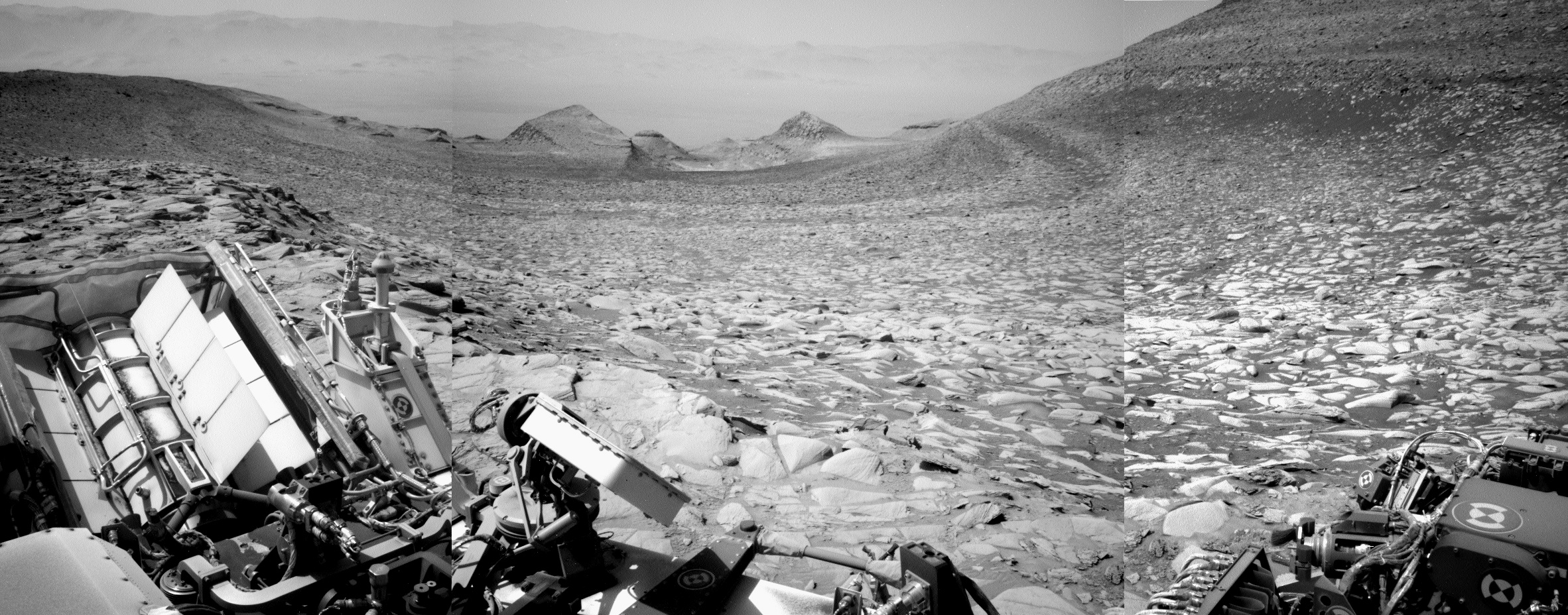
Curiosity’s view of Gale Crater from its new heights on Mount Sharp
Click for full resolution version of panorama. For the original images, go here, here, and here.
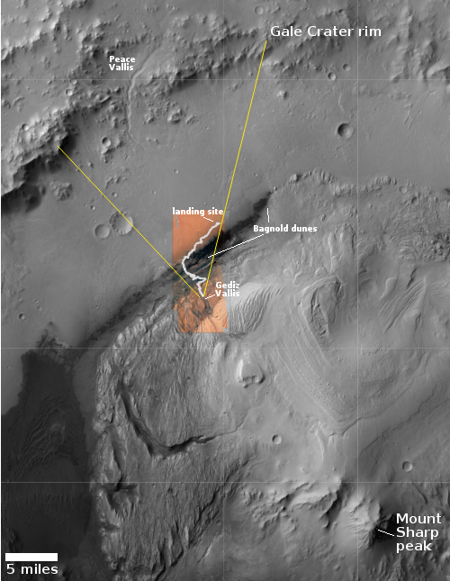
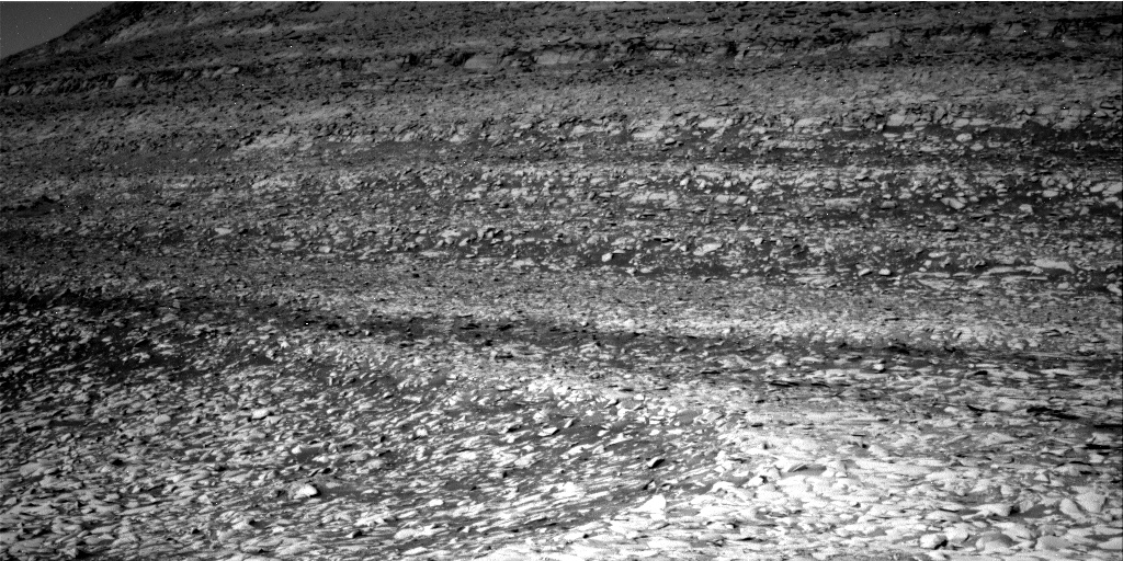
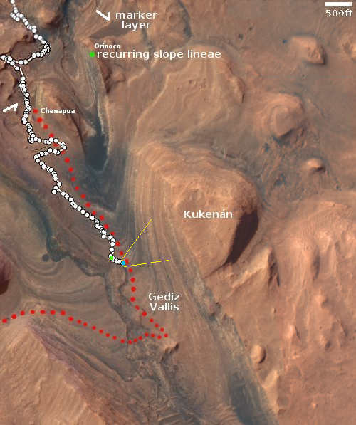
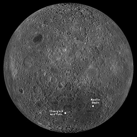
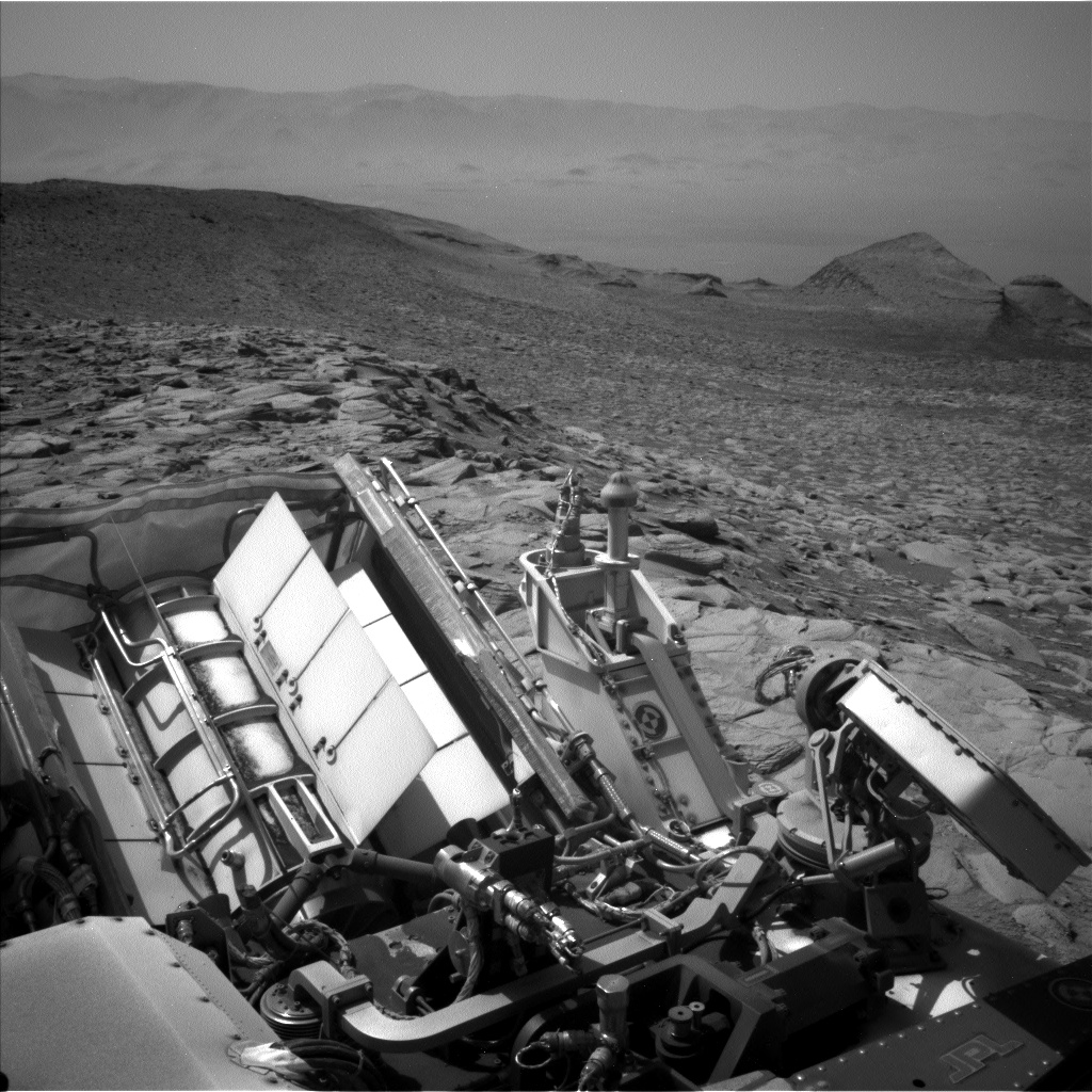
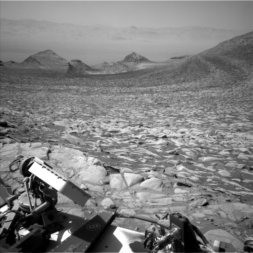
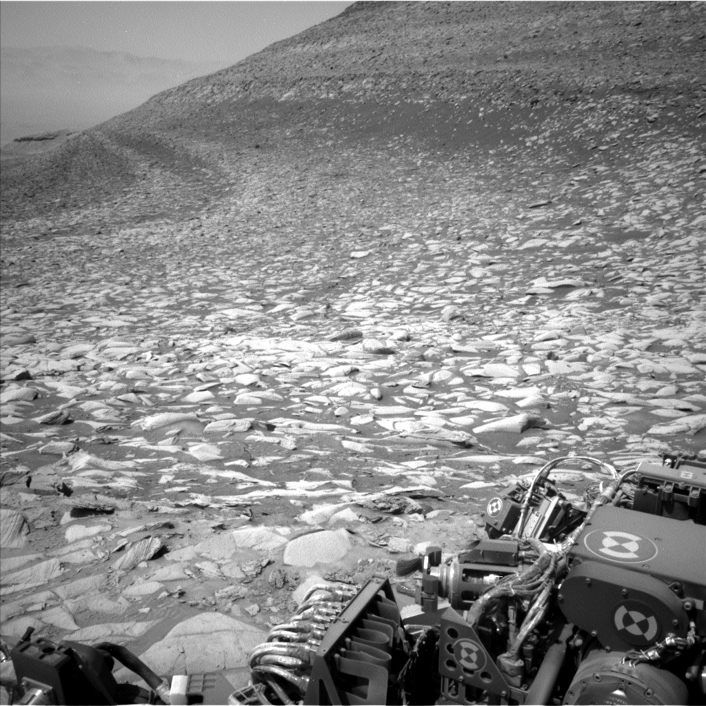
Cool image time! The panorama above was created from three pictures taken on Februay 13, 2024 by the left navigation camera on the Mars rover Curiosity (available here, here, and here). It looks to the north, across Gale Crater and its nearest rim, about twenty miles away. The red dotted line indicates the approximate route Curiosity took to get to this point. The yellow lines on the overview map to the right show the approximate area covered by the panorama.
The images were part of the routine mosaics created by both the left and right navigation cameras for helping engineers plot the rover’s future travels. The pictures that look back at the far rim however also provide important atmospheric data. In this case, the haze tells the scientists how much dust is in the atmosphere. It is presently winter in Gale Crater, which also corresponds to the dust storm season. Thus, the view is very hazy.
Curiosity will likely remain at this location for several more weeks, as the science team is about to begin another drilling campaign. Note the large dark area on the cliff face on the right that is also level with the terrace where Curiosity presently sits. The scientists want to get core data of this layer, and they think they are at a good spot to do so.


