Two solar eclipses coming to the U.S. next year
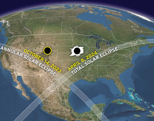
Map by Michael Zeiler (GreatAmericanEclipse.com). Click for original.
The U.S. public will get to see two different solar eclipses during a six month period, starting one year from today.
The map to the right, cropped and reduced to post here, shows the dates and the path of both eclipses.
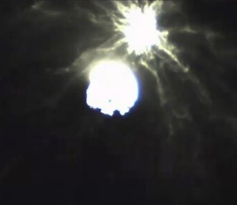
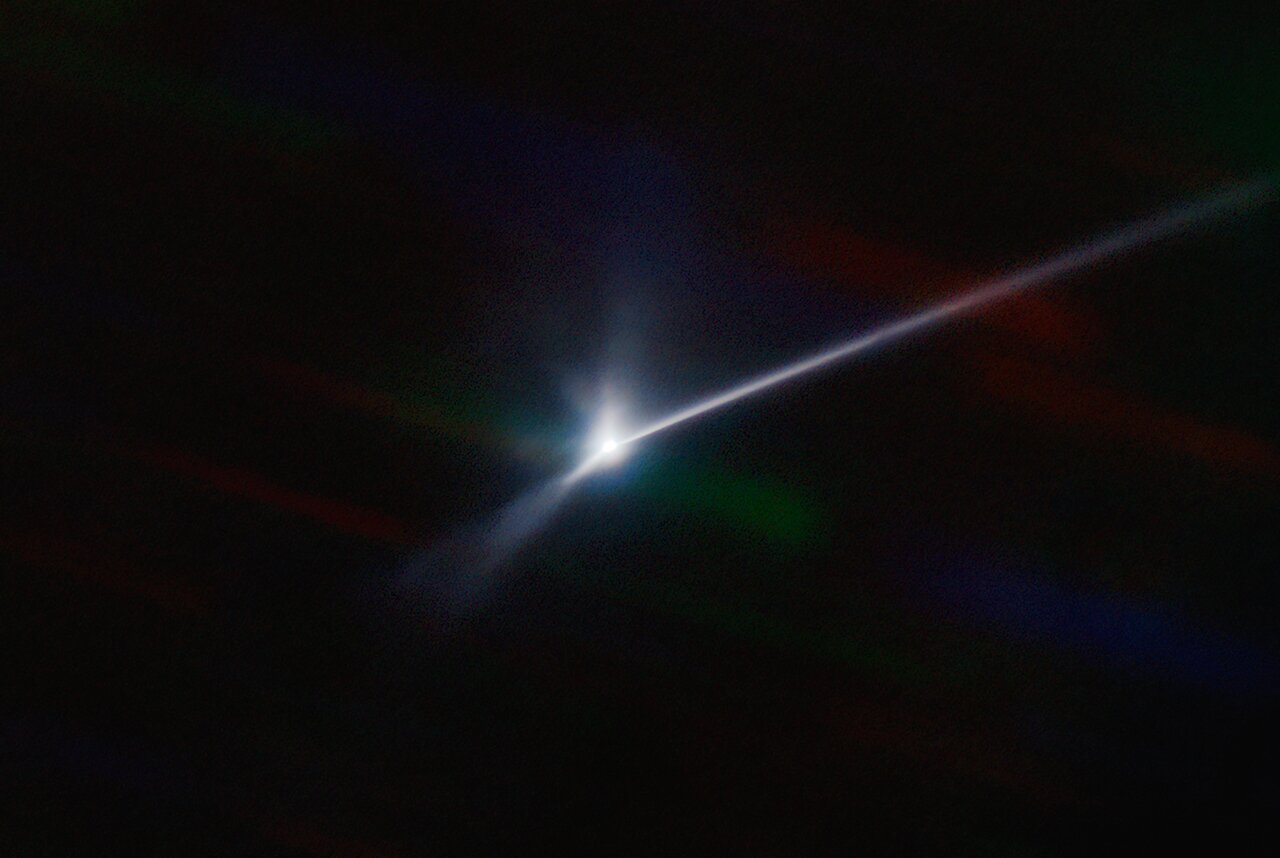
On 14 October 2023, anyone under clear skies within a path that sweeps from Oregon to Texas and then through parts of Central and South America will see an annular (“ring”) eclipse. Just six months later, on 8 April 2024, a total solar eclipse will sweep from Mexico to Texas to the Canadian Maritimes, plunging day into night and revealing the magnificent solar corona for anyone fortunate to be within the path of totality and under clear skies. Nearly everyone in North America will have a partial solar eclipse both days.
As always with eclipses, great care must be taken to watch it. With the 2017 eclipse Diane and I had good filters, but even so I noticed my eyes were very tired for several days afterward.
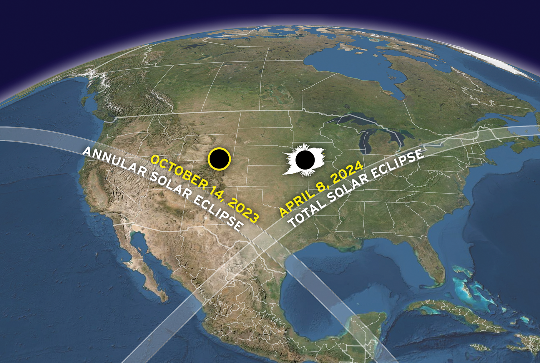
Map by Michael Zeiler (GreatAmericanEclipse.com). Click for original.
The U.S. public will get to see two different solar eclipses during a six month period, starting one year from today.
The map to the right, cropped and reduced to post here, shows the dates and the path of both eclipses.
On 14 October 2023, anyone under clear skies within a path that sweeps from Oregon to Texas and then through parts of Central and South America will see an annular (“ring”) eclipse. Just six months later, on 8 April 2024, a total solar eclipse will sweep from Mexico to Texas to the Canadian Maritimes, plunging day into night and revealing the magnificent solar corona for anyone fortunate to be within the path of totality and under clear skies. Nearly everyone in North America will have a partial solar eclipse both days.
As always with eclipses, great care must be taken to watch it. With the 2017 eclipse Diane and I had good filters, but even so I noticed my eyes were very tired for several days afterward.