
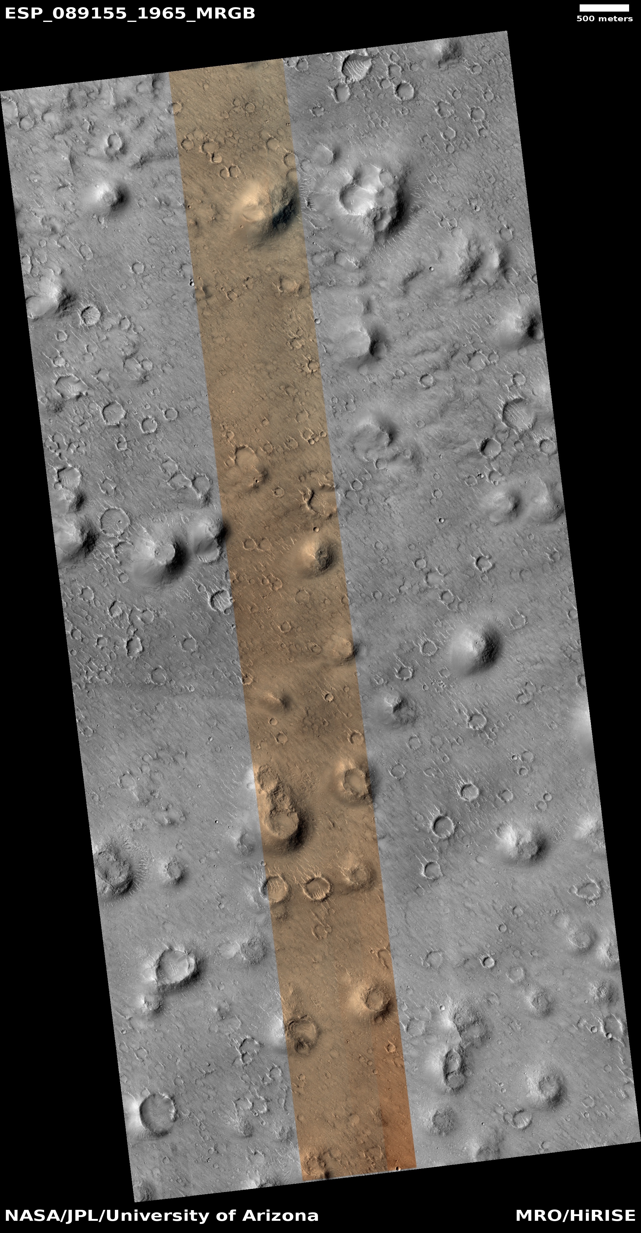
The hurricane season in 2024 confounded the predictions again
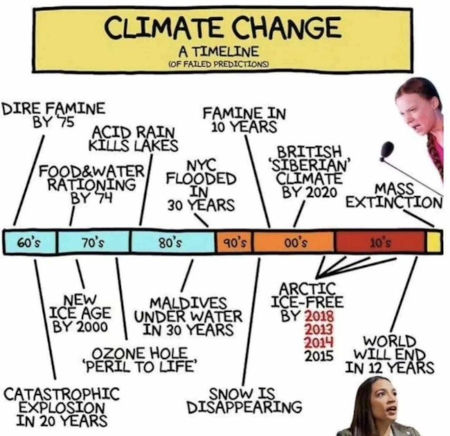
The uncertainty of science: Though the climate science community had predicted that last year’s hurricane season was going to be one of the most active ever, a new study published two weeks ago in Geophysical Research Letters of the American Geophysical Union (AGU) found that the 2024 season did not behave as predicted. It ended up producing about the predicted number of hurricanes, but did so only because of a sudden rise in activity near the end of the season, after a long lull with almost no activity. From the study’s conclusion:
As has been noted throughout this study, the lull was immediately followed by one of the busiest ends to an Atlantic hurricane season on record, including two major hurricane landfalls in Florida (Helene and Milton), resulting in more than 250 fatalities and $100 billion in damage (National Centers for Environmental Information, 2025). Though the final overall number of hurricanes and major hurricanes were aligned with the seasonal forecasts, the extremely busy beginning and end to the season and marked lull in the middle highlight just how unusual the season was.
Last year’s prediction was not the first to be incorrect, though this time the error was in how the season unfolded instead of the total numbers. In the past two decades — since Al Gore prophesied that global warming would cause a gigantic increase in violent storms — NOAA has repeatedly called for very active hurricane seasons, and repeatedly those predictions have turned out wrong. In fact, from 2006 until 2018 there were almost no major hurricanes at all, the exact opposite to what Gore had foretold. Since then the seasons have returned to more normal numbers, but the predictions of the scientists have continued to be no better than throwing a dart at a wall while wearing a blindfold.
The ongoing 2025 hurricane season is following this same pattern. In May 2025 NOAA predicted this year would be a very active hurricane season. Instead, this season has matched those from 2006 to 2016, in which no hurricanes made landfall in the U.S. and the number of strong hurricanes was almost nil.
The season of course is not yet over. We could see a burst of activity in the next few months, similar to what happened in 2024. Nonetheless, the important takeaway from this story is that the scientists who claim to know what is going to happen simply don’t know anything. They are guessing, because as the paper above admits, the Earth’s weather and climate are incredibly complex, and our understanding of it is still in its infancy.
Remember this when you read the next “We’re all gonna die!” prediction touted in the propaganda press.


.jpg)
