Another “What the heck?!” image on Mars
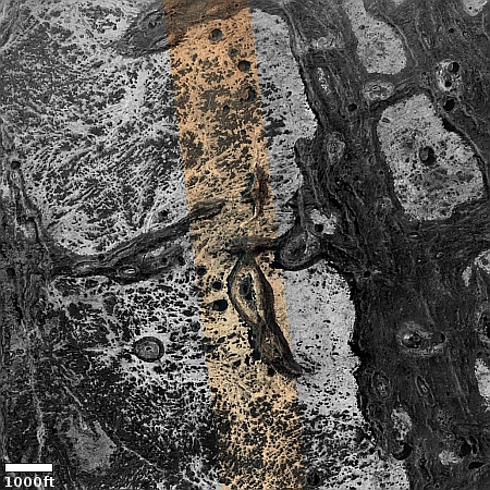
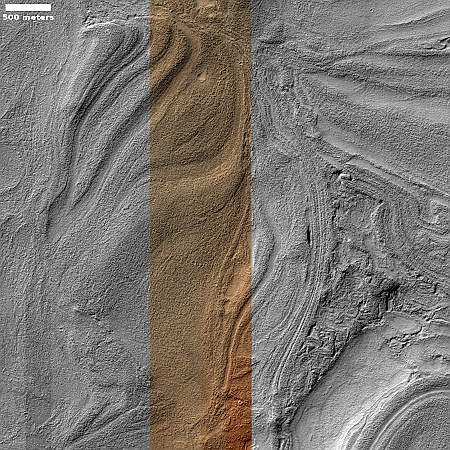
Cool image time! The picture to the right, cropped, reduced, and sharpened to post here, was taken on March 2, 2025 by the high resolution camera on Mars Reconnaissance Orbiter (MRO).
The scientists label this “Monitoring Irregular Terrains in Western Arabia Terra.” I label it more bluntly as another one of MRO’s “What the heck?!” images. For all I know, this is nothing more than a discarded Vincent Van Gogh painting, thrown out because even he couldn’t figure out what he was painting.
The best guess I can make, just from the picture alone, is that some of the dark spots are vents from which the white stuff vented at some point, either as small lava or mud volcanoes. As the location is close to the equator, near surface ice is almost certainly not a factor in what we see.
In any case there is no way to reasonably decipher this picture, just by looking at the picture. It is necessary to take a wider view.
» Read more

