Ingenuity’s mission on Mars is over
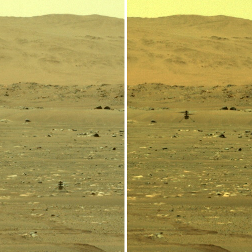
Ingenuity takes off on its first flight, April 19, 2021.
For full images go here and here.
NASA today announced that Ingenuity’s mission on Mars has now ended due to damage sustained to one of its propellers during its 72nd flight.
While the helicopter remains upright and in communication with ground controllers, imagery of its Jan. 18 flight sent to Earth this week indicates one or more of its rotor blades sustained damage during landing, and it is no longer capable of flight.
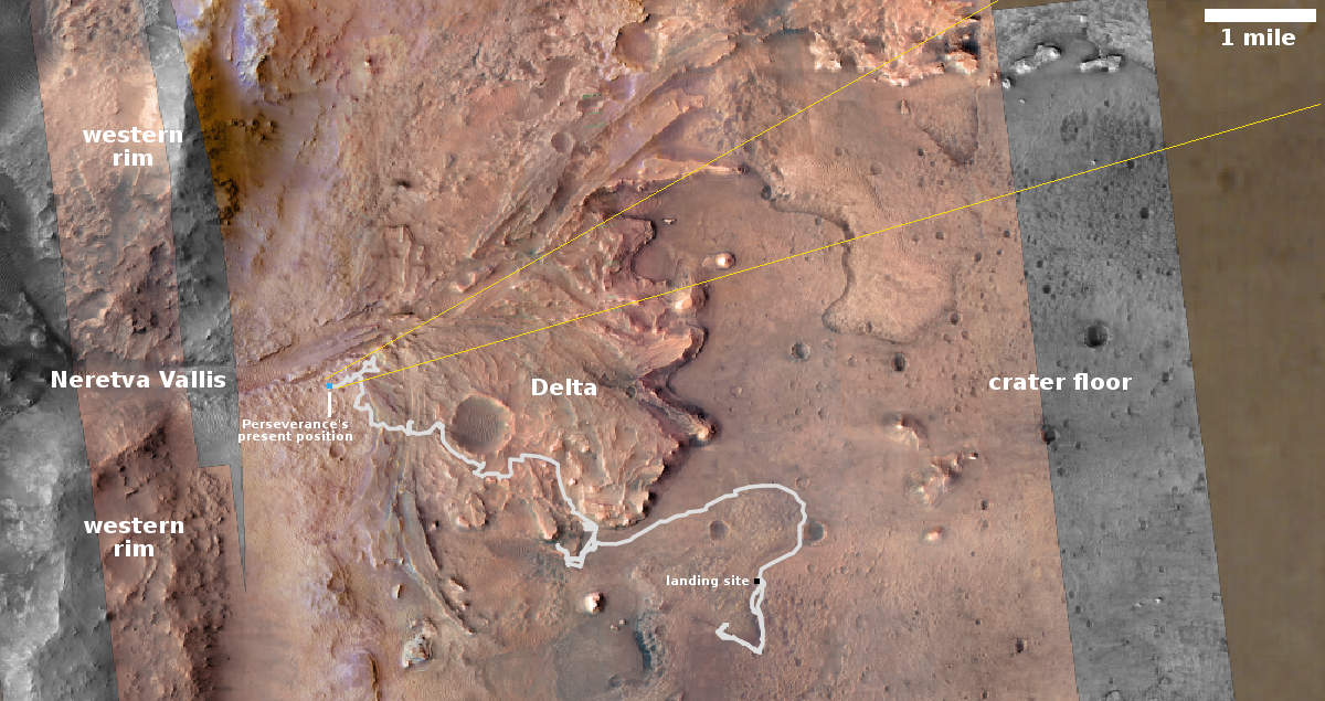
Ingenuity’s engineering mission was designed initially to simply prove that air-powered flight in Mars’ thin atmosphere was possible by a test program of four flights over 30 days. It worked so well that it just kept going and going. During its almost three years of operation on Mars, the helicopter completed 72 flights, for a total air time of about 128 minuntes. It flew a total of about eleven miles, reaching a maximum speed of over 22 miles per hour and a top altitude of about 79 feet. On its 69th flight it traveled a record 2,315 feet, almost a half mile.
All future Mars missions have been changed forever by the success of Ingenuity and its designers and engineers. For example, there are already hints of a helicopter mission to Mars’ giant canyon Valles Marineris. In addition, NASA redesigned its Mars Sample Return Mission to include helicopters based on what it learned from Ingenuity.
More important, Ingenuity suggests that when settlers finally colonize the red planet, it is very possible that air travel will start out more important than ground transport. In fact, long distance roads might never be built, for any number of reasons, because air travel will be available from the beginning.


