
Evidence of Martian near-surface ice in an unusual location

Click for original image.
Cool image time! The picture to the right, cropped, reduced, and sharpened to post here, was taken on May 27, 2024 by the high resolution camera on Mars Reconnaissance Orbiter (MRO). Labeled merely as a terrain sample, it was likely taken not as part of any specific research request, but to fill a gap in the camera’s picture-taking schedule so as to maintain its proper temperature.
The picture however shows features that help confirm earlier research into the near-surface ice believed to permeate Mars’ middle latitudes. The knobby flat terrain both inside and outside of the crater resembles what scientists have labeled “brain terrain”, an as-yet unexplained geological feature unique to Mars and usually associated with near-surface ice and the glacial features found above 30 degrees latitude.
This 1.4-mile-wide unnamed crater is located at 40 degrees north latitude, so expecting near-surface ice or glacial features here is not unreasonable. The location however is different for other reasons, that make this data more intriguing.
» Read more
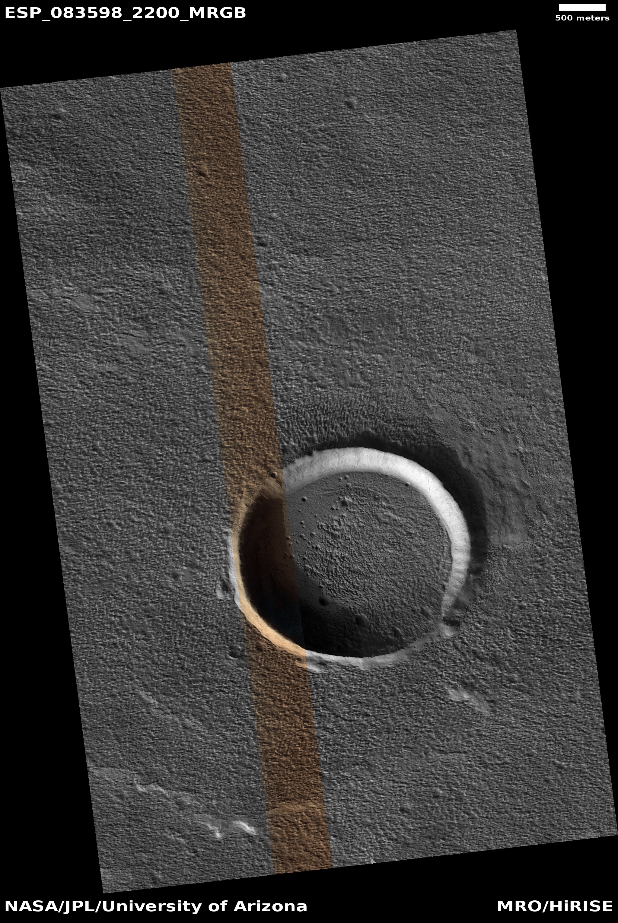

