Blue Ghost activates NASA drill, prepares for hot lunar noon
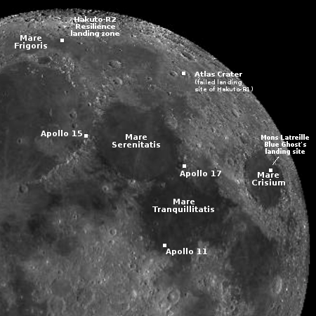
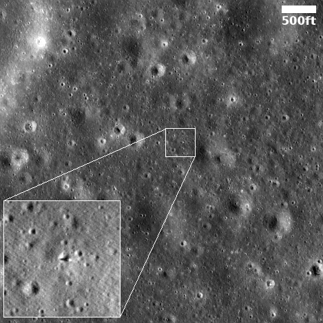
Landing sites for both Firefly’s Blue Ghost and
Ispace’s Resilience
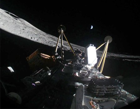
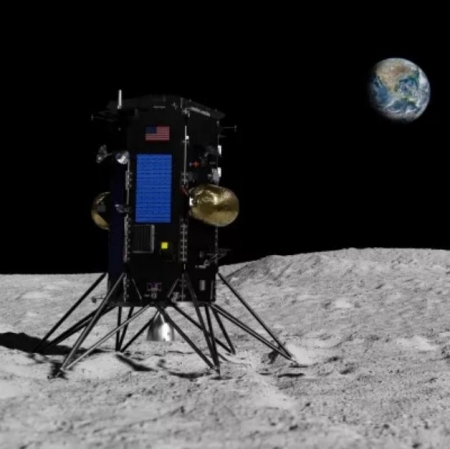
More than a week after landing in Mare Crisium, ground controllers have prepared Firefly’s Blue Ghost lunar lander for surviving the very hot lunar noon while also activating NASA’s LISTER drill, which proceeded to successfully drill down into the lunar surface below the lander.
Mounted below Blue Ghost’s lower deck, NASA’s Lunar Instrumentation for Subsurface Thermal Exploration with Rapidity (LISTER) payload is a pneumatic, gas-powered drill developed by Texas Tech University and Honeybee Robotics that measures the temperature and flow of heat from the Moon’s interior.
I have embedded below the video of this drilling operation. At this moment it appears that nine of the lander’s payloads have completed their tasks successfully, with no indication yet that the tenth playload will have problems. All in all, Firefly has succeeded in establishing itself now as the leading private company capable of launching spacecraft to other worlds.
» Read more

