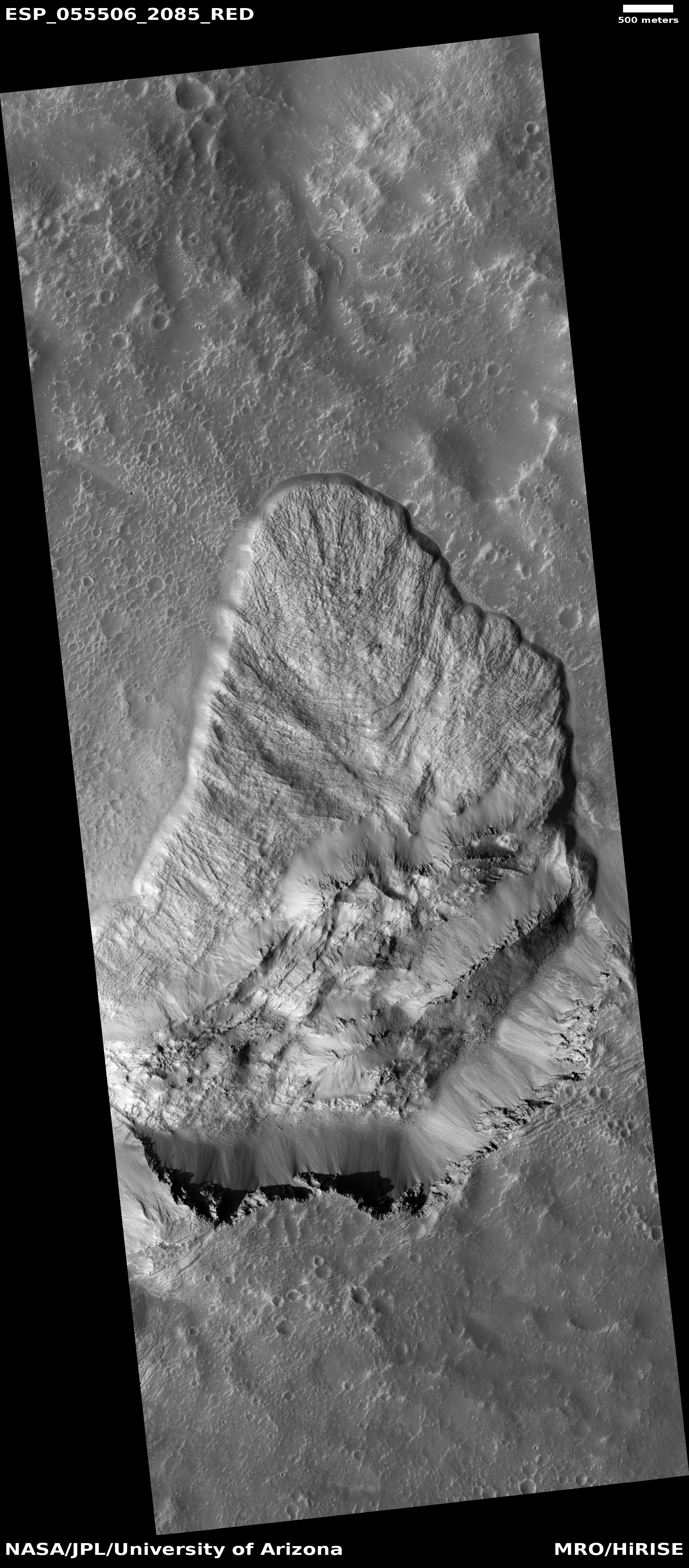
The strange moated mesas of the Kasei Valley on Mars

In showing my readers today’s cool image, I want to present it as it is seen by scientists, first from a far distance that with time increasingly zooms in to reveal mysteries on a very human scale.
The overview map to the right essentially gives us the view of Mars as seen by scientists following the Mariner 9 orbiter mission that began mapping the Martian surface in late 1971 after the conclusion of a global dust storm that had hidden its surface initially. As the first high resolution map of Mars, the orbiter revealed numerous puzzling and surprising features, including the largest volcanoes and canyons in the solar system. The orbiter also found that the red planet’s surface was comprised of two very different regions, the northern lowland plains and the southern cratered highlands.
The overview map, covering from about 13 degrees south latitude to about 34 degrees north latitude, shows us all but the southern cratered highlands. The white box in Kasei Valles is where today’s cool image is located. Both Kasai and Valles Marineris represent those giant canyons, all invoking to Earth eyes the possibility of catastrophic floods of liquid water sometime in the past.
Ascraeus Mons is the northernmost of the three giant volcanoes east of the biggest volcano of all, Olympus Mons. All sit on what scientists now call the Tharsis Bulge.
Chryse Planitia, where Viking-1 landed in 1976, is part of those northern lowlands that some scientists believe might have been once had an intermittent ocean sometime in the past. Today’s image is about 600 miles from the outlet into Chryse Planitia.
The geological mystery of all these features demands a closer look, something that scientists have been pursuing now for more than a half century.
» Read more