
Strange terrain southwest of Jezero Crater

Cool image time! The photo to the right, cropped and reduced to post here, was taken on June 16, 2022 by the high resolution camera on Mars Reconnaissance Orbiter (MRO). It shows what the scientists have merely label “landforms.”
I instead call them strange. Clearly we are seeing exposed layering that surrounds the mesa in the middle of the image. This in turn suggests that the mesa top was once the surface of this whole region, and that region had been formed by the repeated placement of multiple sedimentary layers. Then, over time the surrounding terrain was eroded away, exposing those underlying layers.
Even so, some of the parallel lines do not appear to be layers, but striations etched into the ground. To get a better look, the white box marks the area covered by a full resolution close-up below.
» Read more
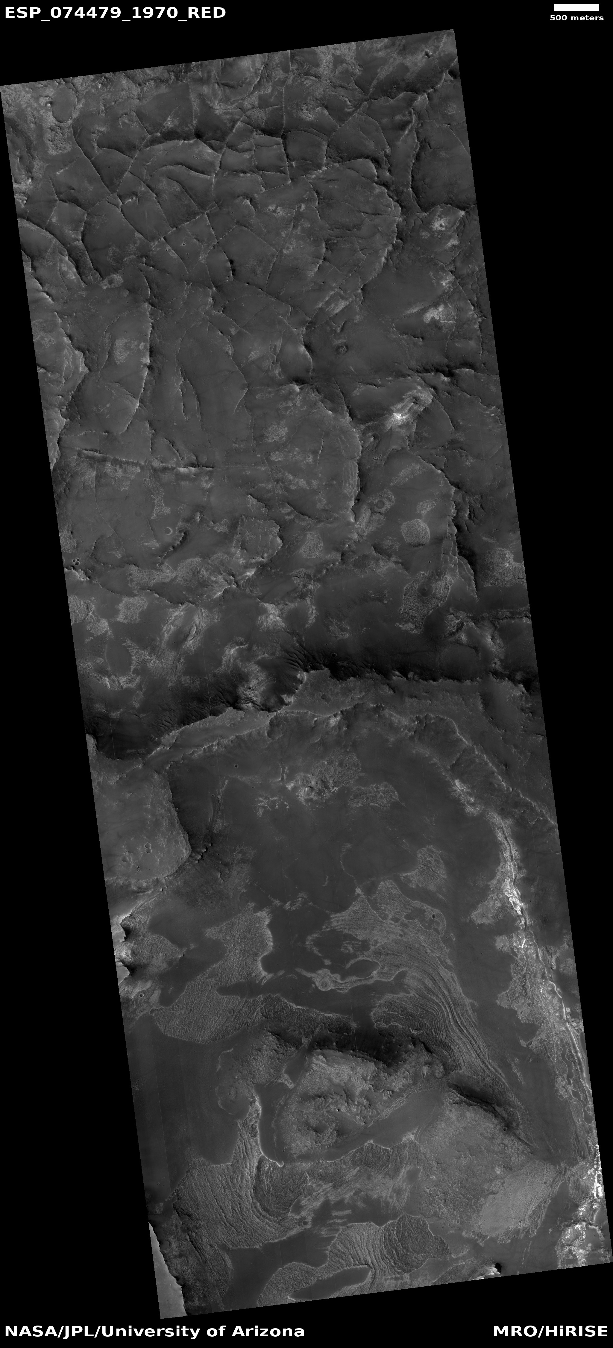