Determining whether a Martian crater is impact or volcanic
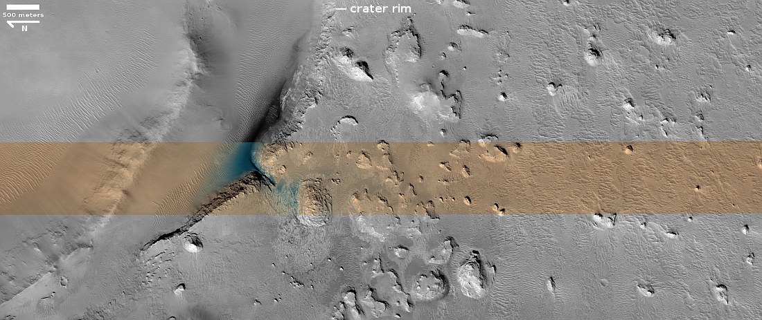
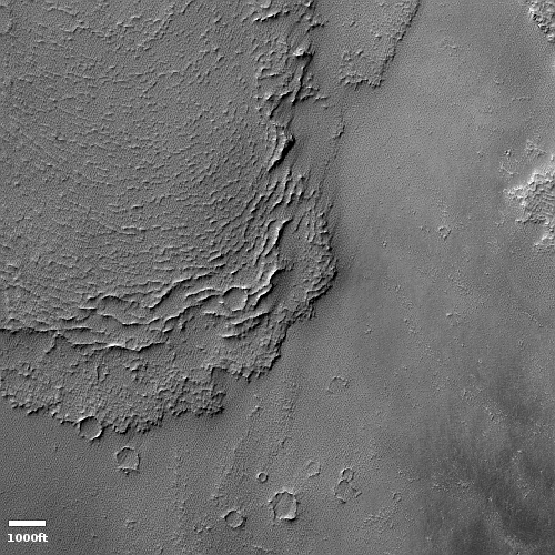
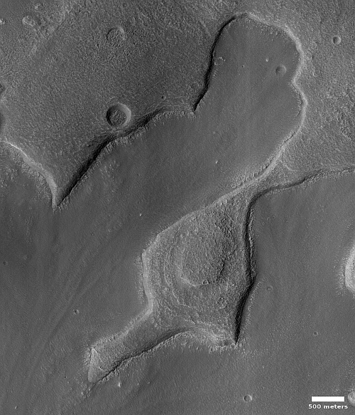
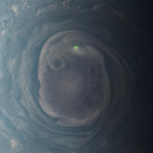
Cool image time! The picture above, rotated, cropped, reduced, and sharpened to post here, was taken on March 22, 2023 by the high resolution camera on Mars Reconnaissance Orbiter (MRO). The camera team labeled this “Crater rim and ejecta,” which subtly reveals the picture’s scientific purpose.
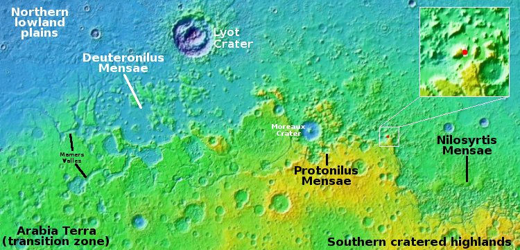
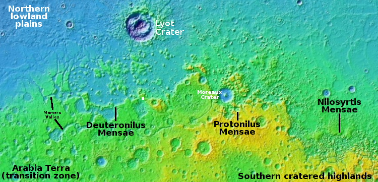
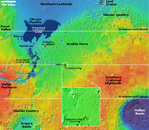
The white dot on the overview map to the right indicates the location of this 15-mile-wide unnamed crater, about 150 miles northwest of where the rover Opportunity landed and traveled south to the rim of Endeavour Crater. It also shows in the inset that the crater appears to sit in the center of an upraised mound, suggesting it was formed not by impact but by volcanic processes.
This picture however says otherwise. The many small mounds and mesas to the south of the crater rim are not what one would expect on the apron of a volcano. Instead, they suggest this crater is an impact, with those mounds the eroded ejecta from that impact, now also partly buried by dust. This hypothesis is strengthened by the data from Opportunity, which found a great deal of impact ejecta during its travels, possibly from the very event that created this crater.

