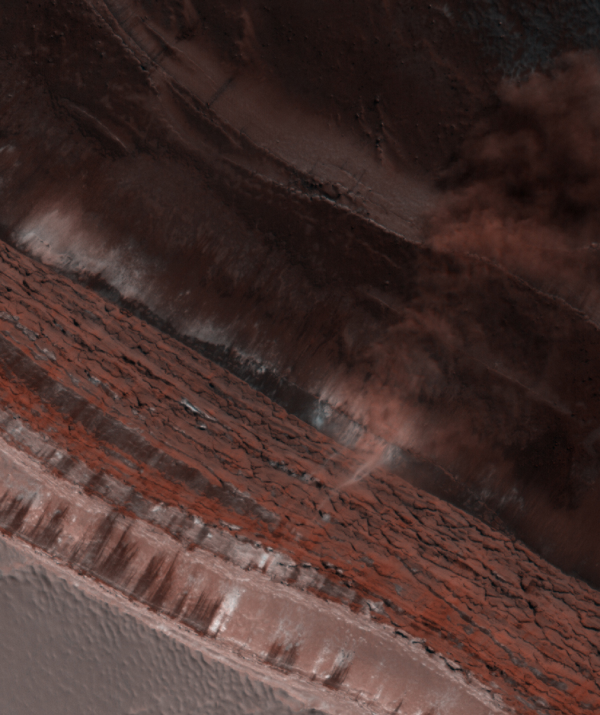
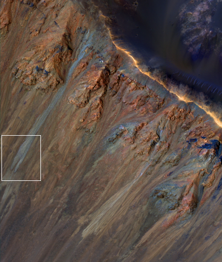
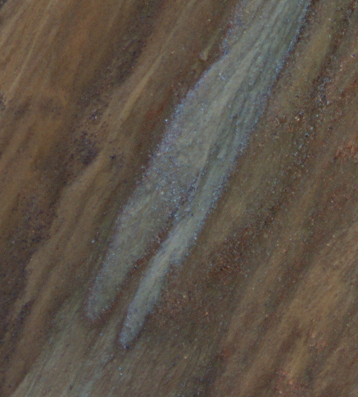
A weak avalanche season on Mars?
Click for full image.
Today’s cool image from Mars is cool both for what is visible in the photo and for what is not, the latter of which might turn out to be a discovery of importance.
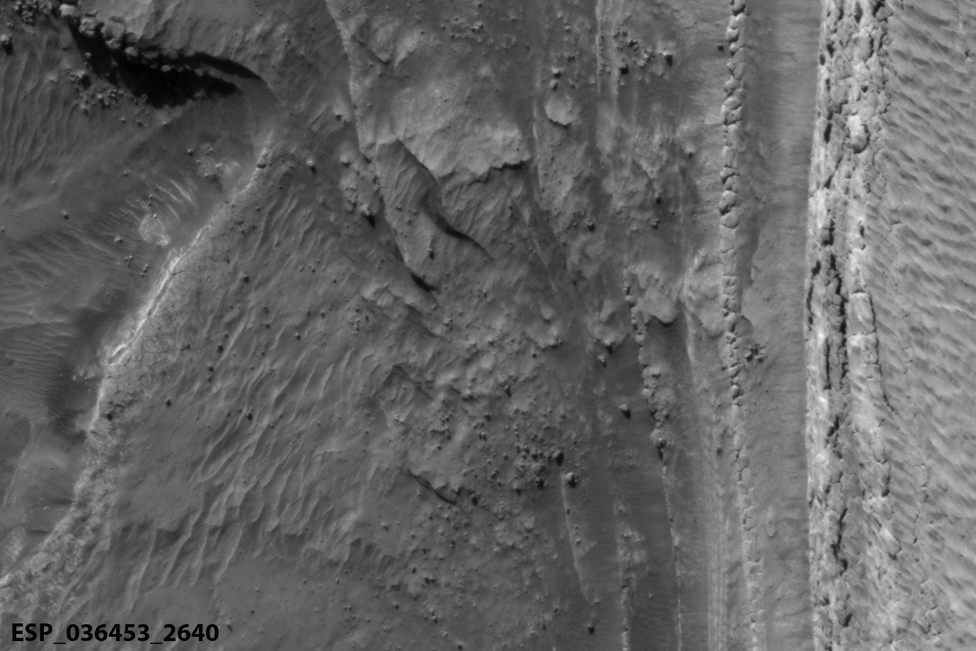
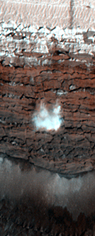
The photo to the right, cropped and reduced to post here, was taken on June 24, 2021 by the high resolution camera on Mars Reconnaissance Orbiter (MRO). It shows a section of the edge of Mars’ north polar ice cap, with north at the top.
This scarp is probably more than 2,000 feet high, though that height drops to the south as the upper layers disappear one by one from either long term erosion or sublimation. Those layers represent the visible information in the photo that is cool. They give us tantalizing clues about the geological and climatic history of Mars. Each layer probably represents a climate period when the north icecap was growing because the tilt of the planet’s rotation was even less than the 25 degrees it is now. When that tilt is small, as small as 11 degrees, the poles of Mars are very cold, and water ice migrates from the mid-latitudes to the poles, adding thickness to the icecaps. When the tilt grows, to as much as 55 degrees, the mid-latitudes are colder than the poles, and the water ice migrates back to the mid-latitudes.
What is not visible in this picture, however, might be far more significant.
» Read more
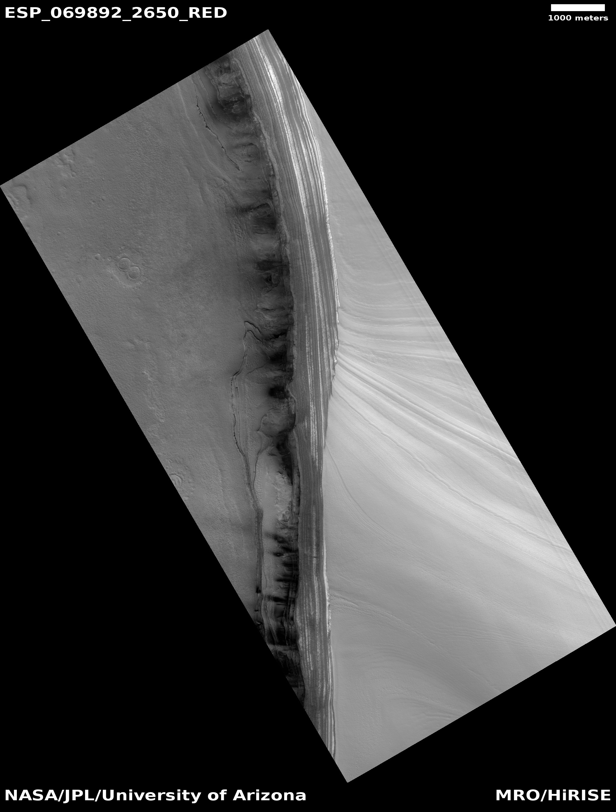
Click for full image.
Today’s cool image from Mars is cool both for what is visible in the photo and for what is not, the latter of which might turn out to be a discovery of importance.
The photo to the right, cropped and reduced to post here, was taken on June 24, 2021 by the high resolution camera on Mars Reconnaissance Orbiter (MRO). It shows a section of the edge of Mars’ north polar ice cap, with north at the top.
This scarp is probably more than 2,000 feet high, though that height drops to the south as the upper layers disappear one by one from either long term erosion or sublimation. Those layers represent the visible information in the photo that is cool. They give us tantalizing clues about the geological and climatic history of Mars. Each layer probably represents a climate period when the north icecap was growing because the tilt of the planet’s rotation was even less than the 25 degrees it is now. When that tilt is small, as small as 11 degrees, the poles of Mars are very cold, and water ice migrates from the mid-latitudes to the poles, adding thickness to the icecaps. When the tilt grows, to as much as 55 degrees, the mid-latitudes are colder than the poles, and the water ice migrates back to the mid-latitudes.
What is not visible in this picture, however, might be far more significant.
» Read more