
Frozen Martian eddies at the confluence of two glacier rivers
Click for original image.
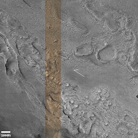
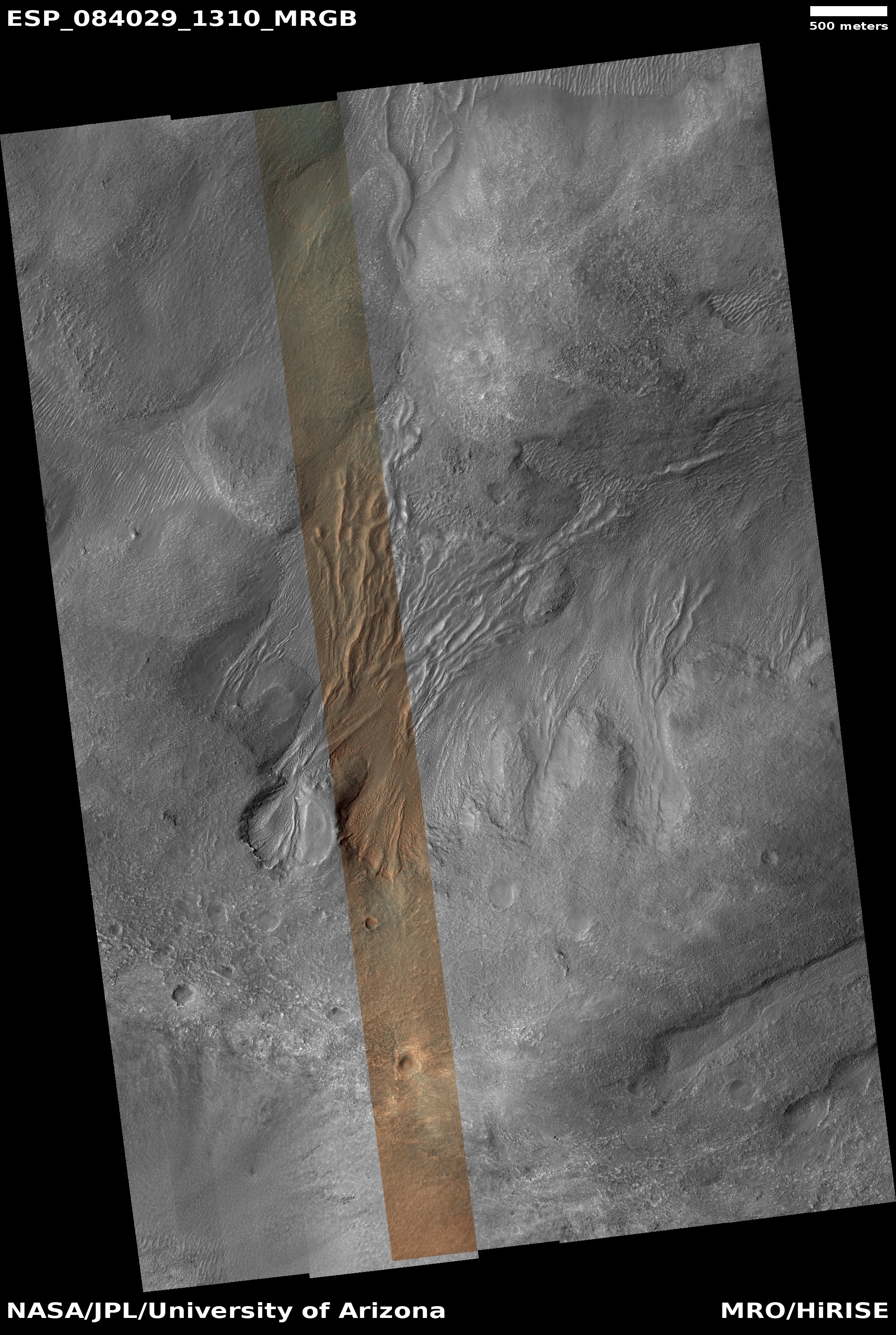
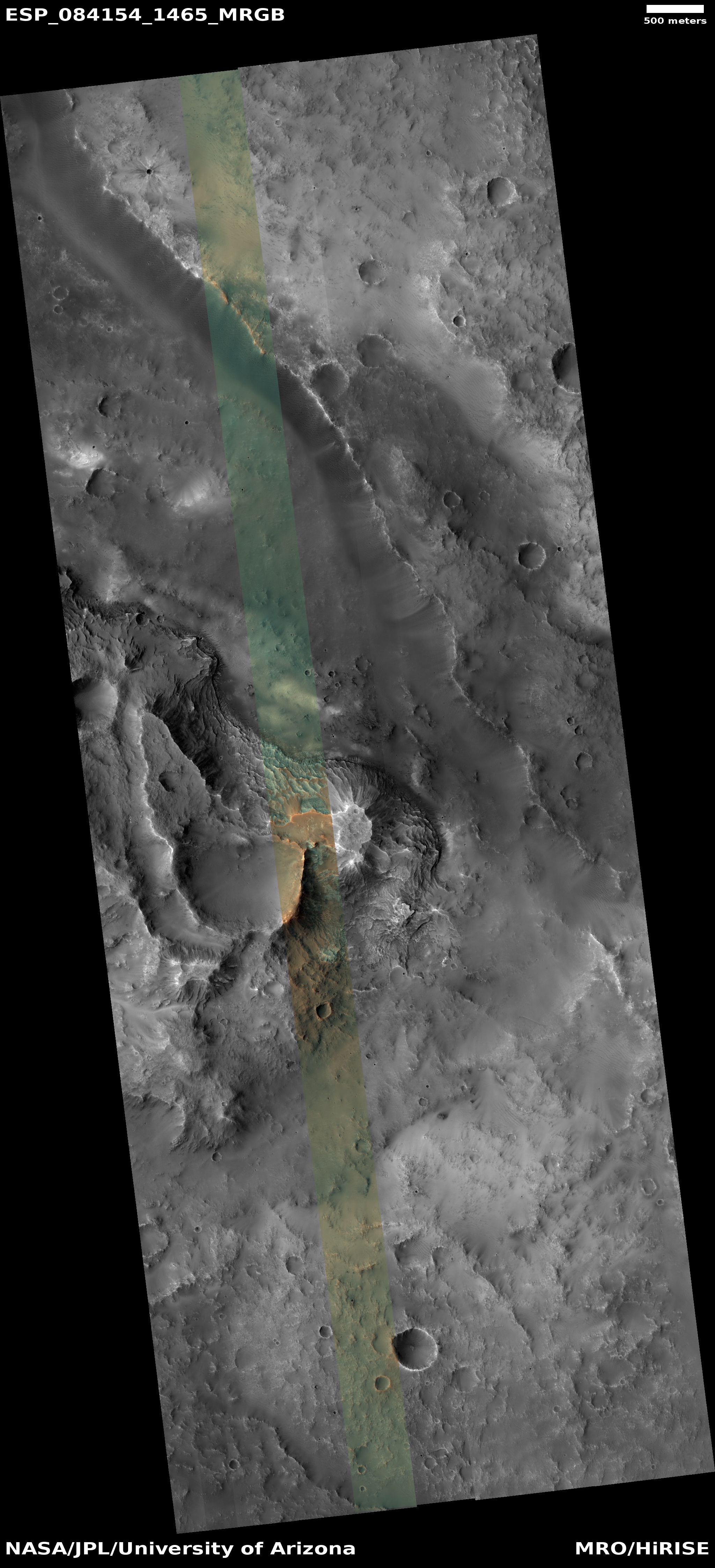
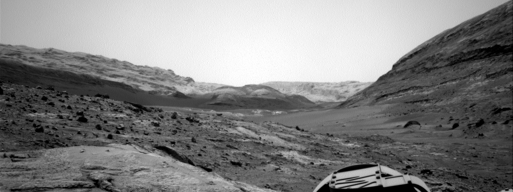
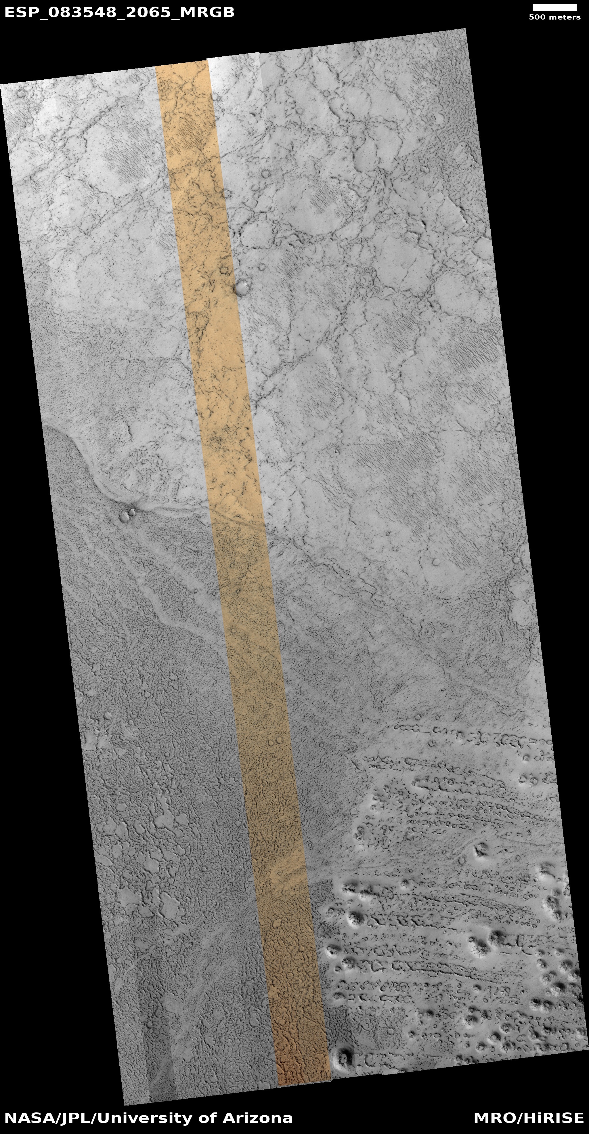
Cool image time! The picture to the right, rotated, cropped, reduced, and sharpened to post here, was taken on July 3, 2024 by the high resolution camera on Mars Reconnaissance Orbiter (MRO).
The science team labels the photo as capturing a “contact near Reull Vallis,” a 1,000-mile-long Martian canyon that flows down the eastern slopes of Hellas Basin, the death valley of Mars.
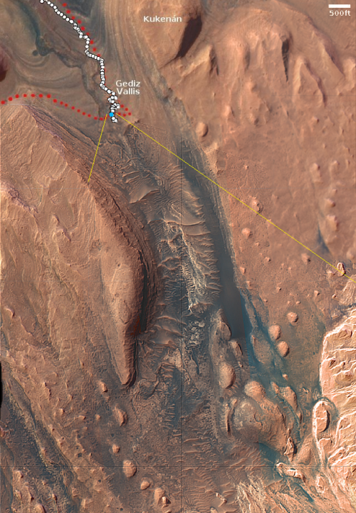
What I see isn’t a geological contact but a complex jumble of odd-shaped depressions and mesas, surrounded by an eroded surface that seems squashed and deformed by some process. If this is all we had to go on, I would simply label this as another “What the heck?” image on Mars and move on. However, the larger context of the overview map helps explain it all, at least as best as we can explain using orbital data.
» Read more

Click for original image.
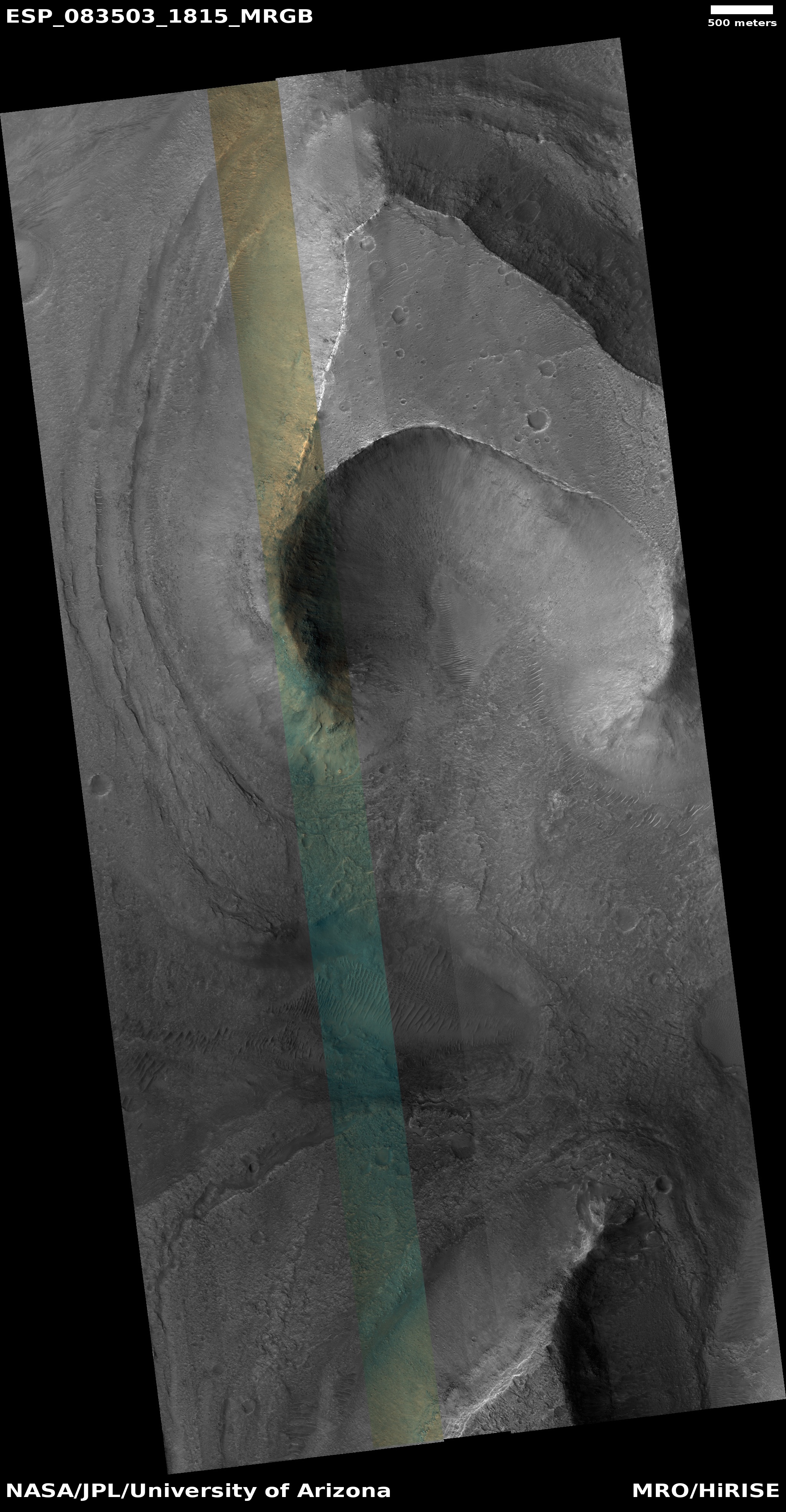
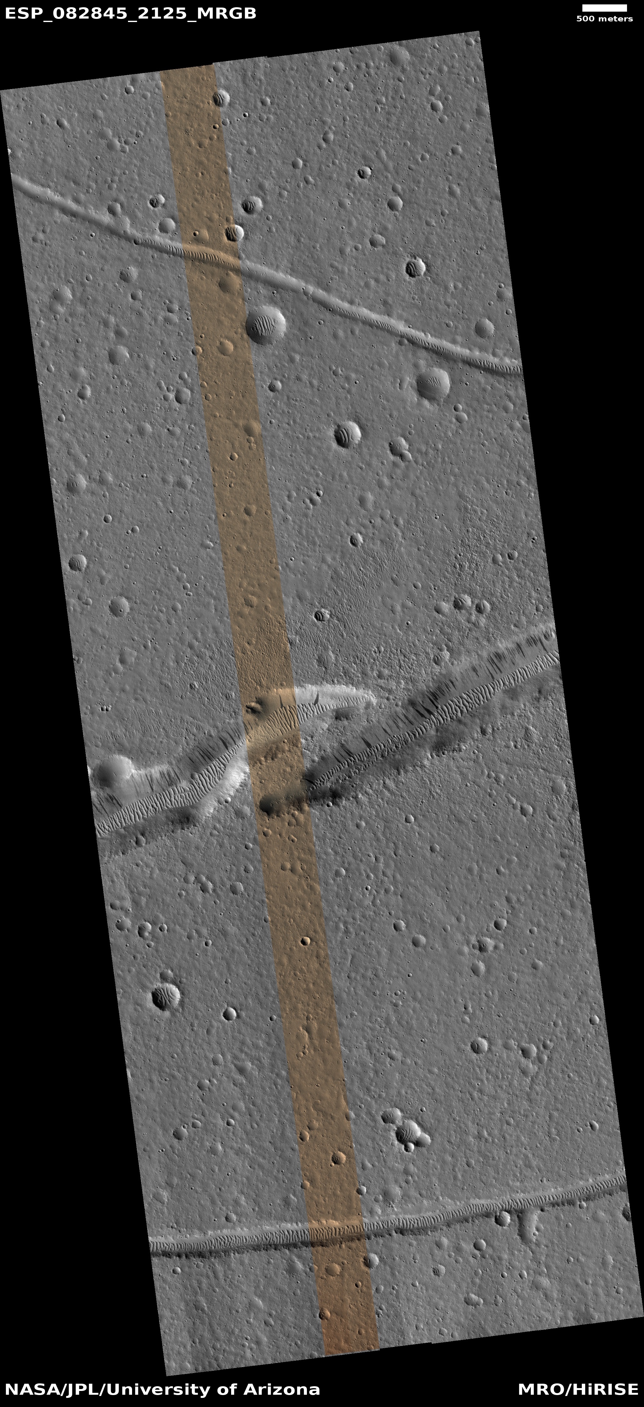
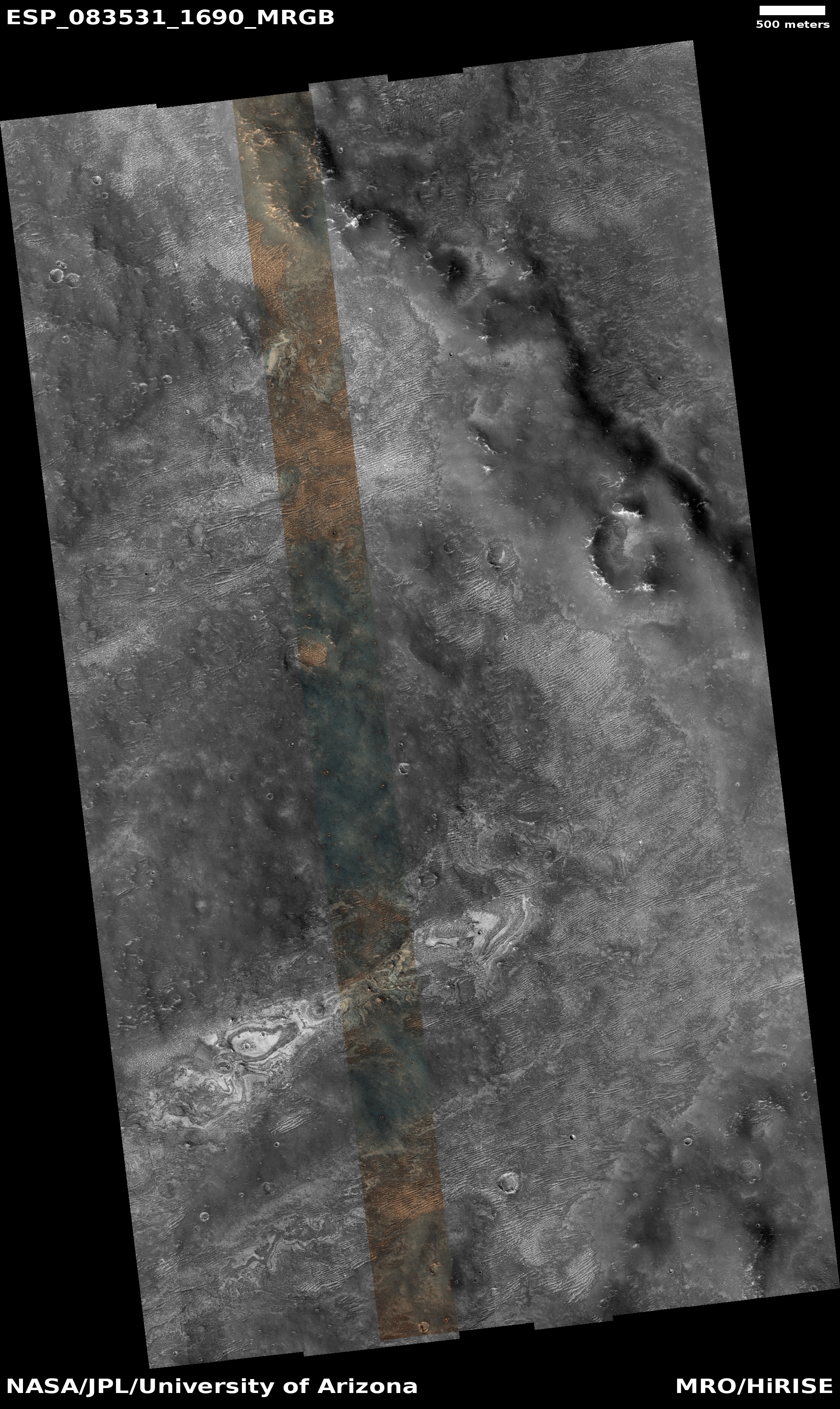
Cool image time! The picture to the right, rotated, cropped, reduced, and sharpened to post here, was taken on July 3, 2024 by the high resolution camera on Mars Reconnaissance Orbiter (MRO).
The science team labels the photo as capturing a “contact near Reull Vallis,” a 1,000-mile-long Martian canyon that flows down the eastern slopes of Hellas Basin, the death valley of Mars.
What I see isn’t a geological contact but a complex jumble of odd-shaped depressions and mesas, surrounded by an eroded surface that seems squashed and deformed by some process. If this is all we had to go on, I would simply label this as another “What the heck?” image on Mars and move on. However, the larger context of the overview map helps explain it all, at least as best as we can explain using orbital data.
» Read more


