
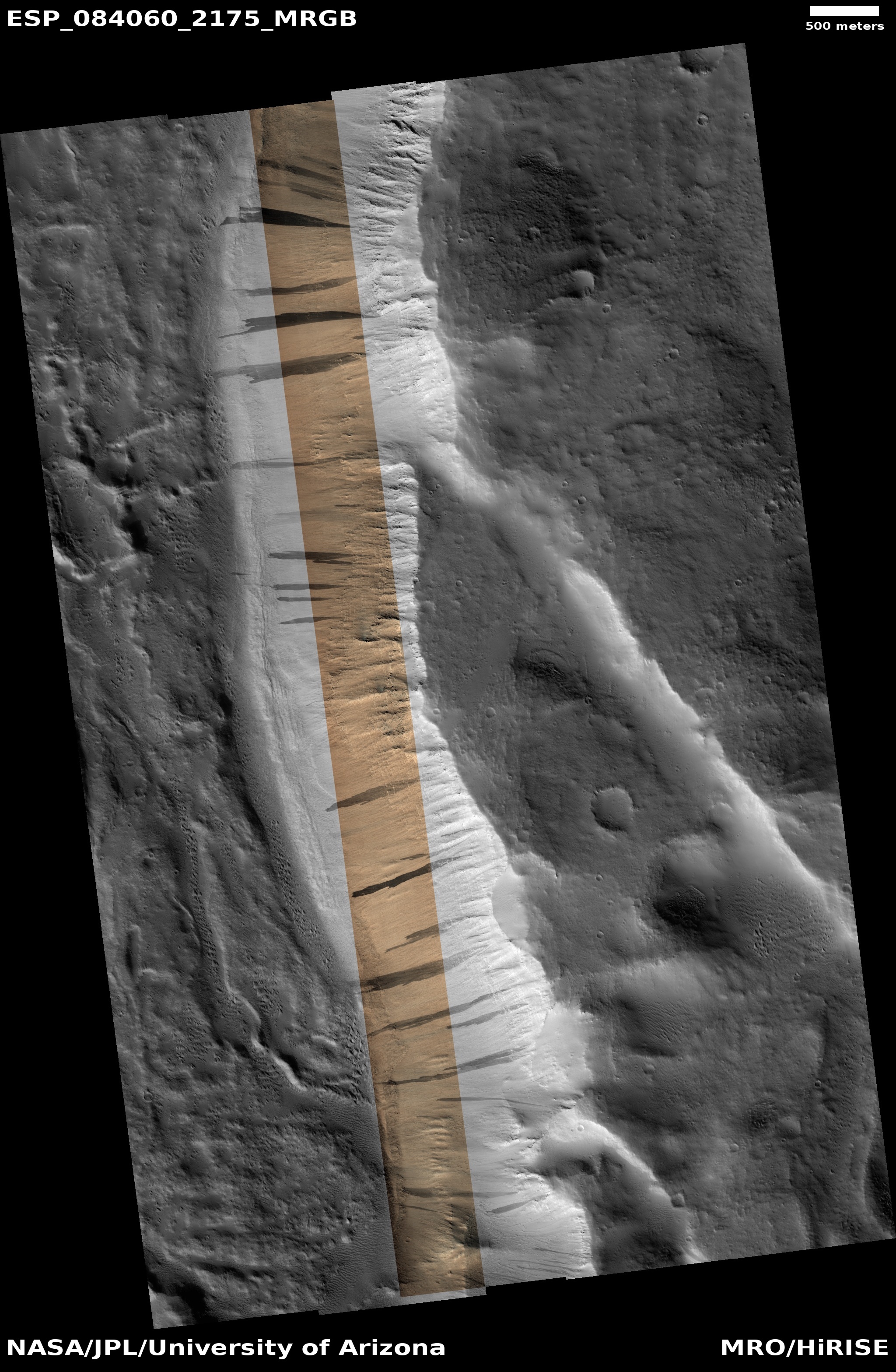
This typical cliff on Mars just happens to match the walls of the Grand Canyon
Click for original image.
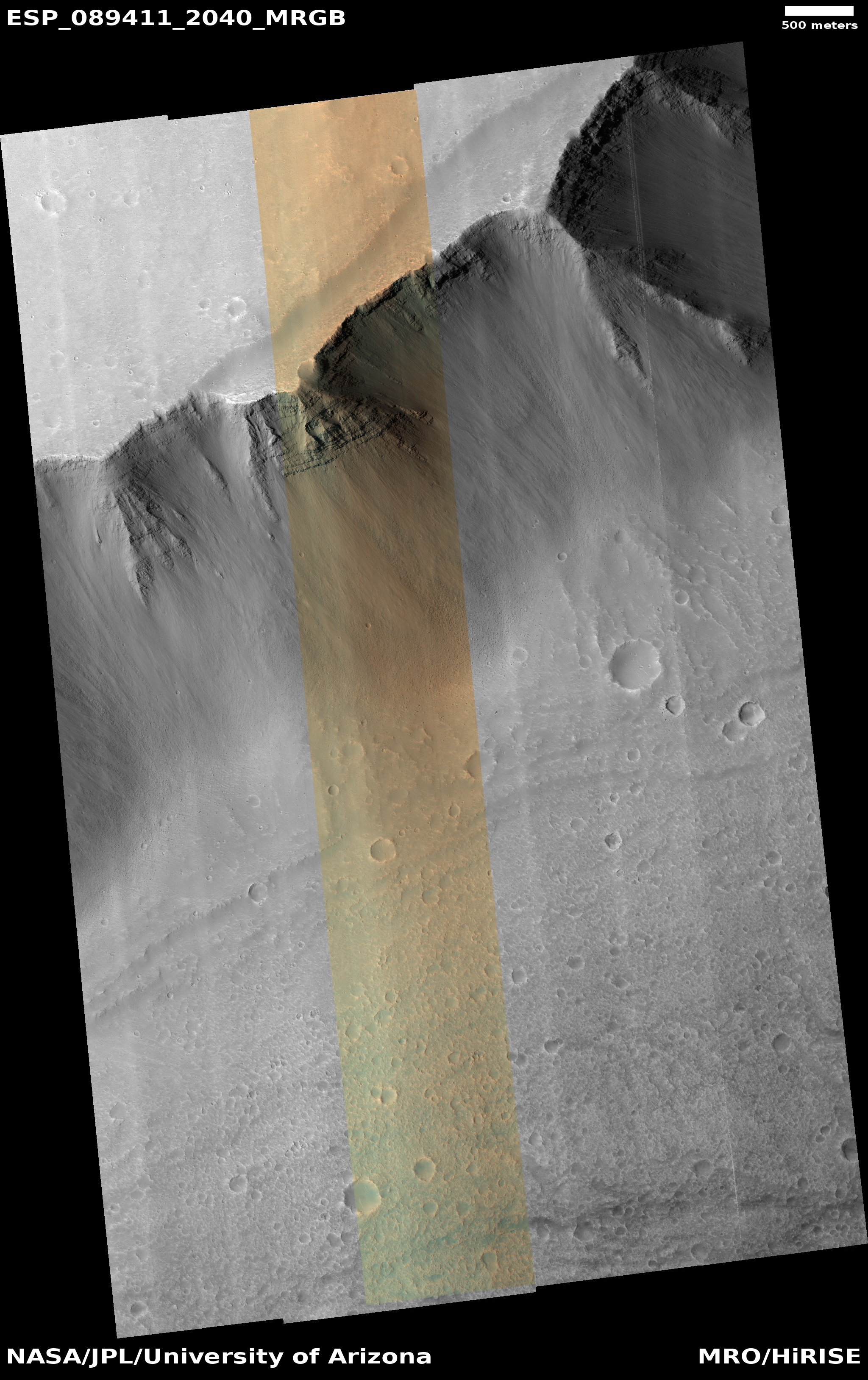
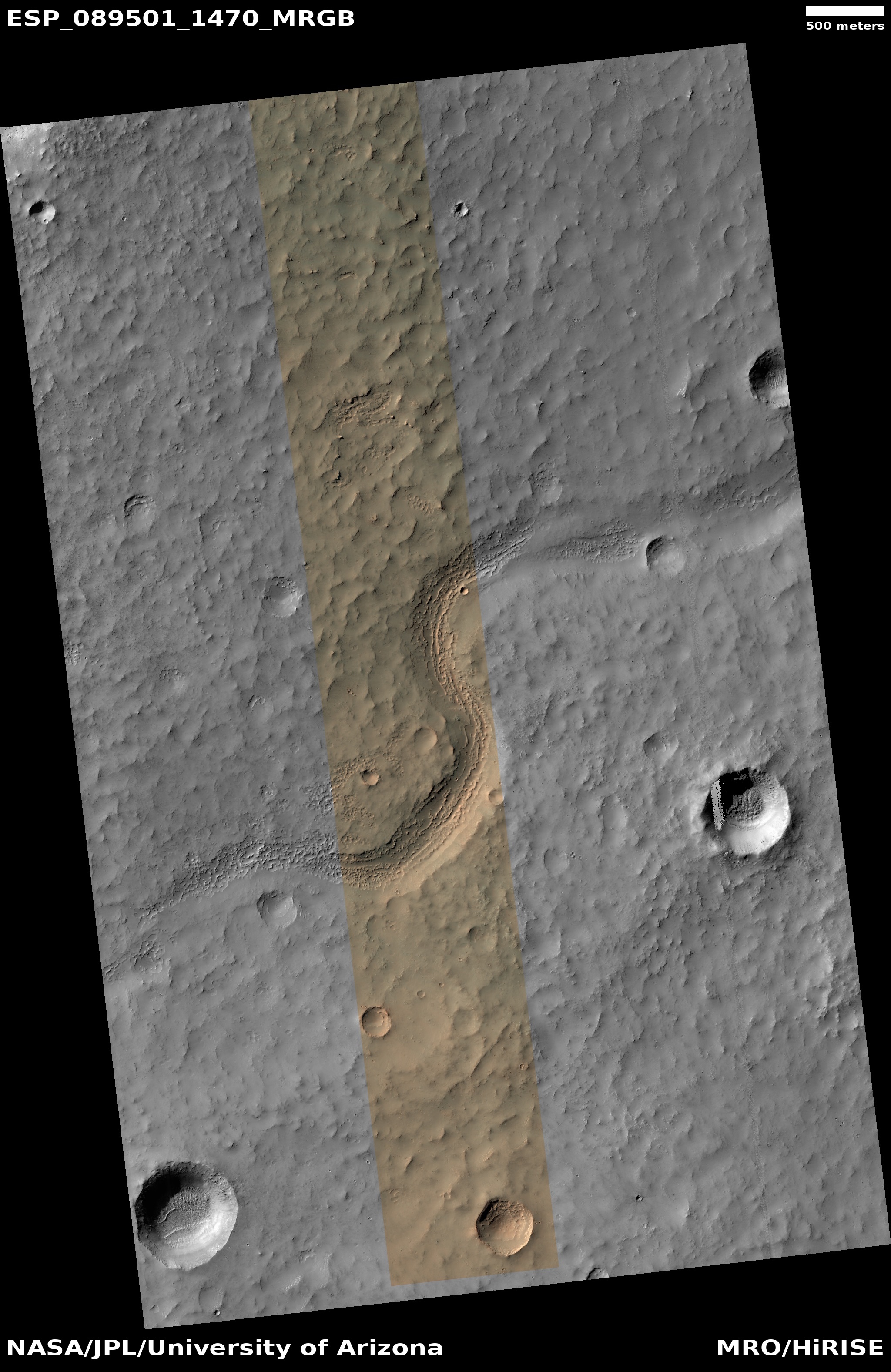
Cool image time! The picture to the right, cropped, reduced, and sharpened to post here, was taken on August 23, 2025 by the high resolution camera on Mars Reconnaissance Orbiter (MRO).
The label the science team gave this image, “remnant fan”, suggests the focus of research here is the fingerlike ridges on the floor of the canyon, emanating out from the cliff. These appear to be the remains of an ancient mass-wasting event, similar to an avalanche but different in that instead of it being a pile of surface material falling down the cliff, the cliff itself breaks free and slumps downward. In this case the event was so long ago that most of the slumped material has eroded away, leaving only those ridges, likely resistant to erosion because of the impact of the material from above.
If you look at the top of cliff, you can see evidence that another mass wasting event is pending. Note how the plateau floor near the cliff has dropped about 100 feet. This drop suggests that this part of the cliff has started to slump and break away from the plateau.
» Read more


