
On Mars you can find glaciers everywhere in the mid-latitudes

Click for full image.
Cool image time! If you ever decide to have some fun exploring the archive of images being sent back to Earth by the high resolution camera on Mars Reconnaissance Orbiter (MRO), always remember that the latitude of the image will almost immediately help to explain the strange features that you see in each picture.
The hi-res photo to the right, rotated, cropped, and reduced to post here, was taken on May 22, 2022 and provides us a great example. The jumbled features in the depression on the image’s right half surely look like the glacial features seen routinely in the 2,000-mile-long strip found in the 30 to 60 degree band in the chaos terrain of the northern lowland plains. In fact, it is likely that cycles of ebb and flow of those glaciers helped shape this chaos of buttes and mesas and cross-cutting canyons.
This picture however is nowhere near any chaos terrain, or that 2,000 long strip. In fact, it is instead in an area that appears mostly formed by tectonic and volcanic activity, as the overview map below shows.
» Read more
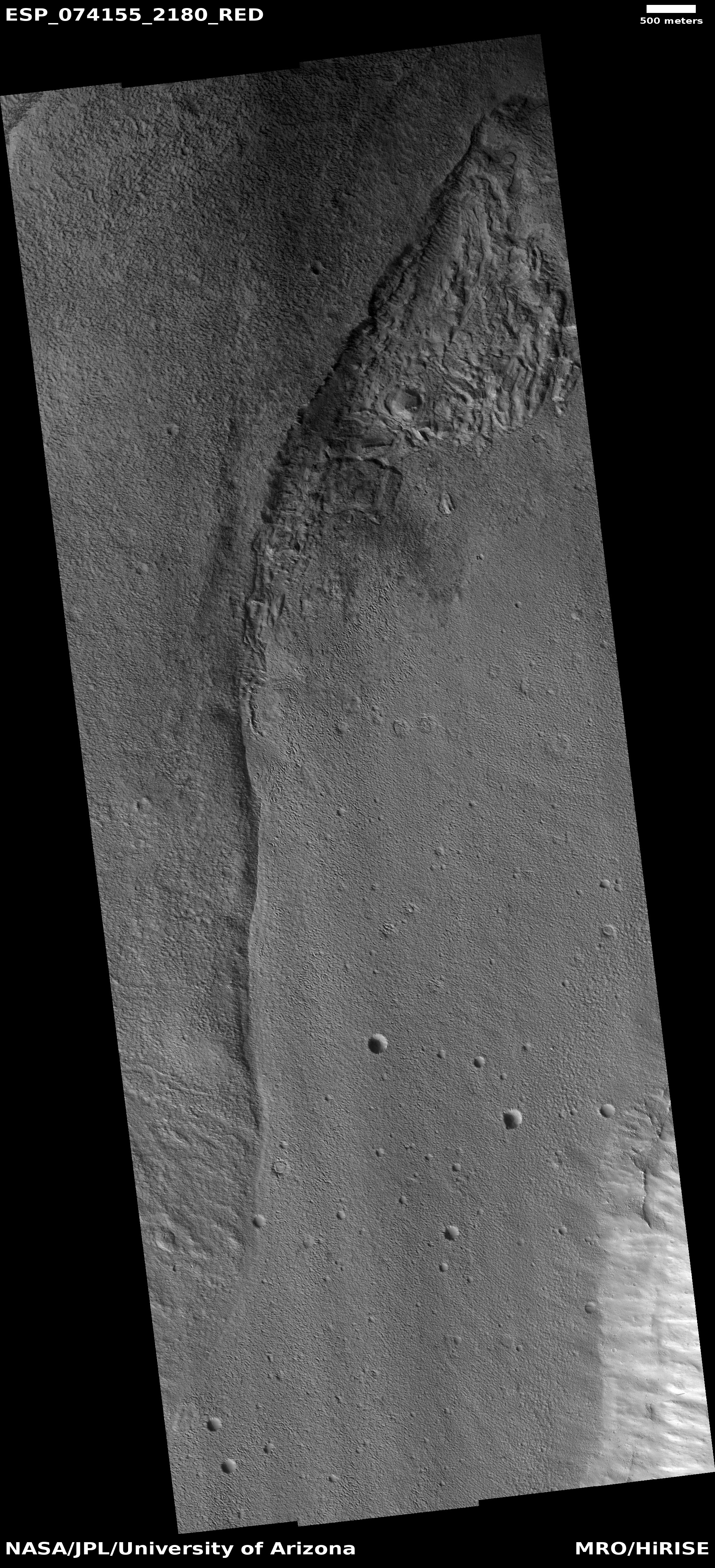

