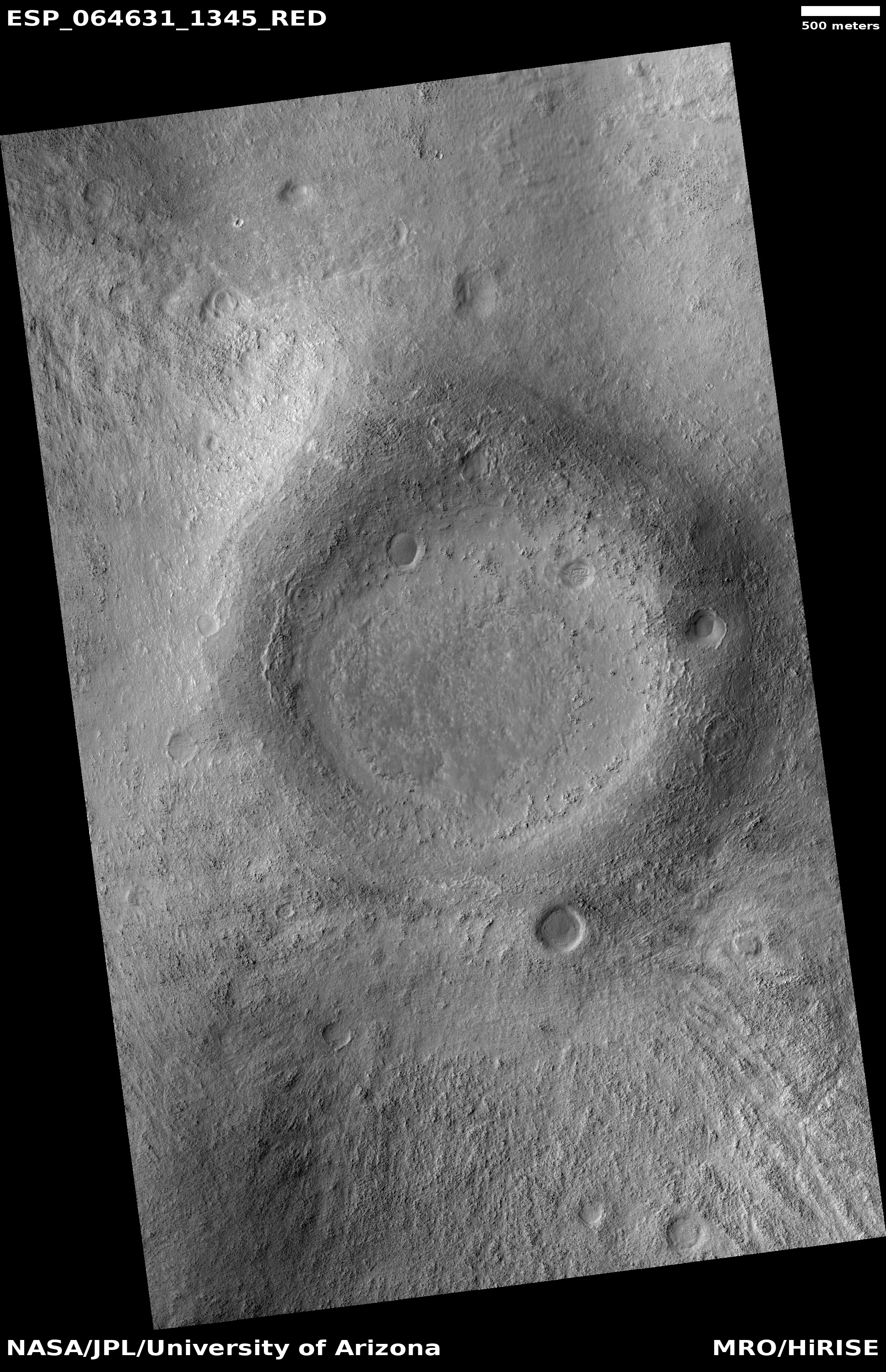
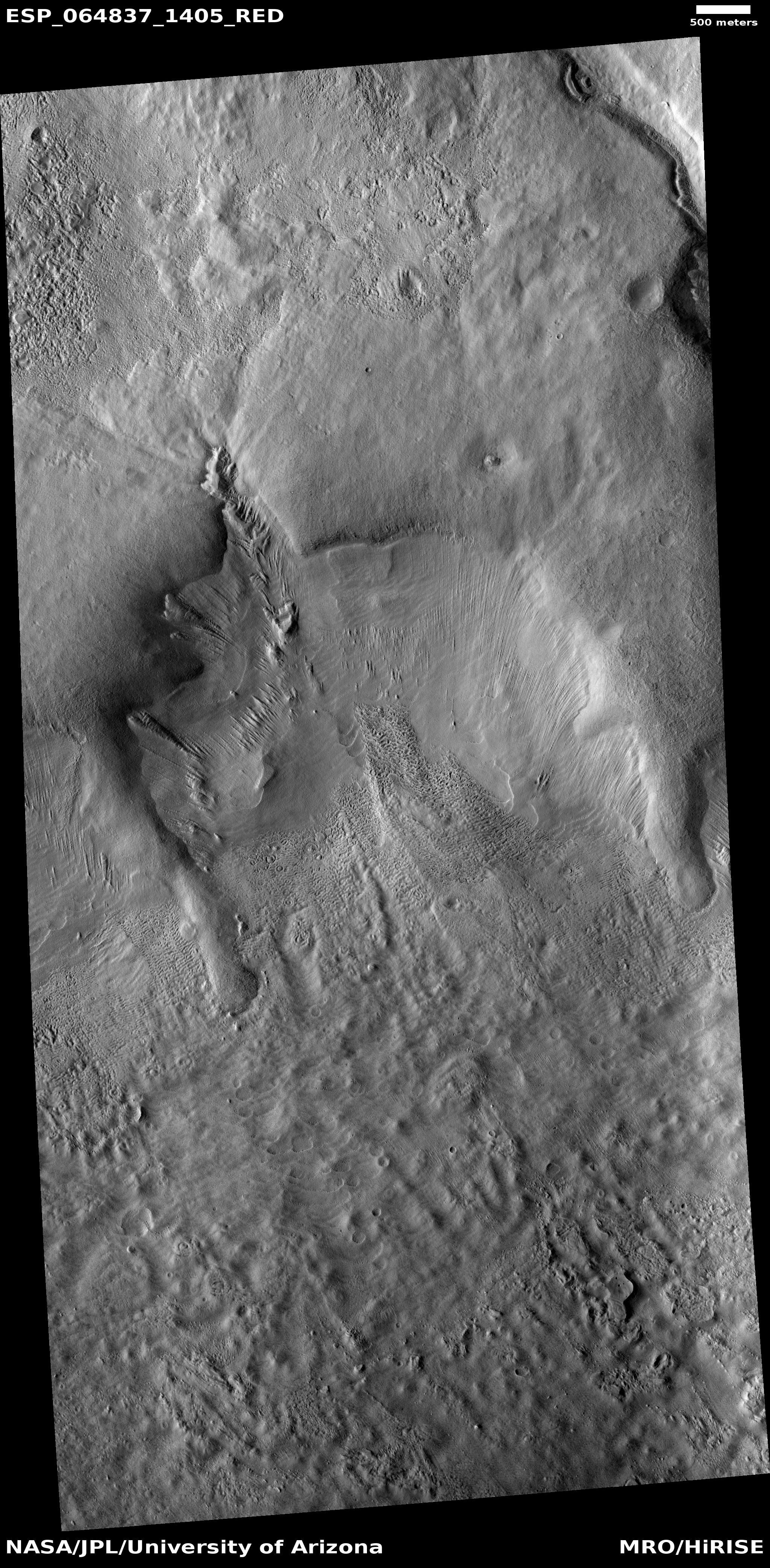
Martian crater filled with lava

Click for full image.
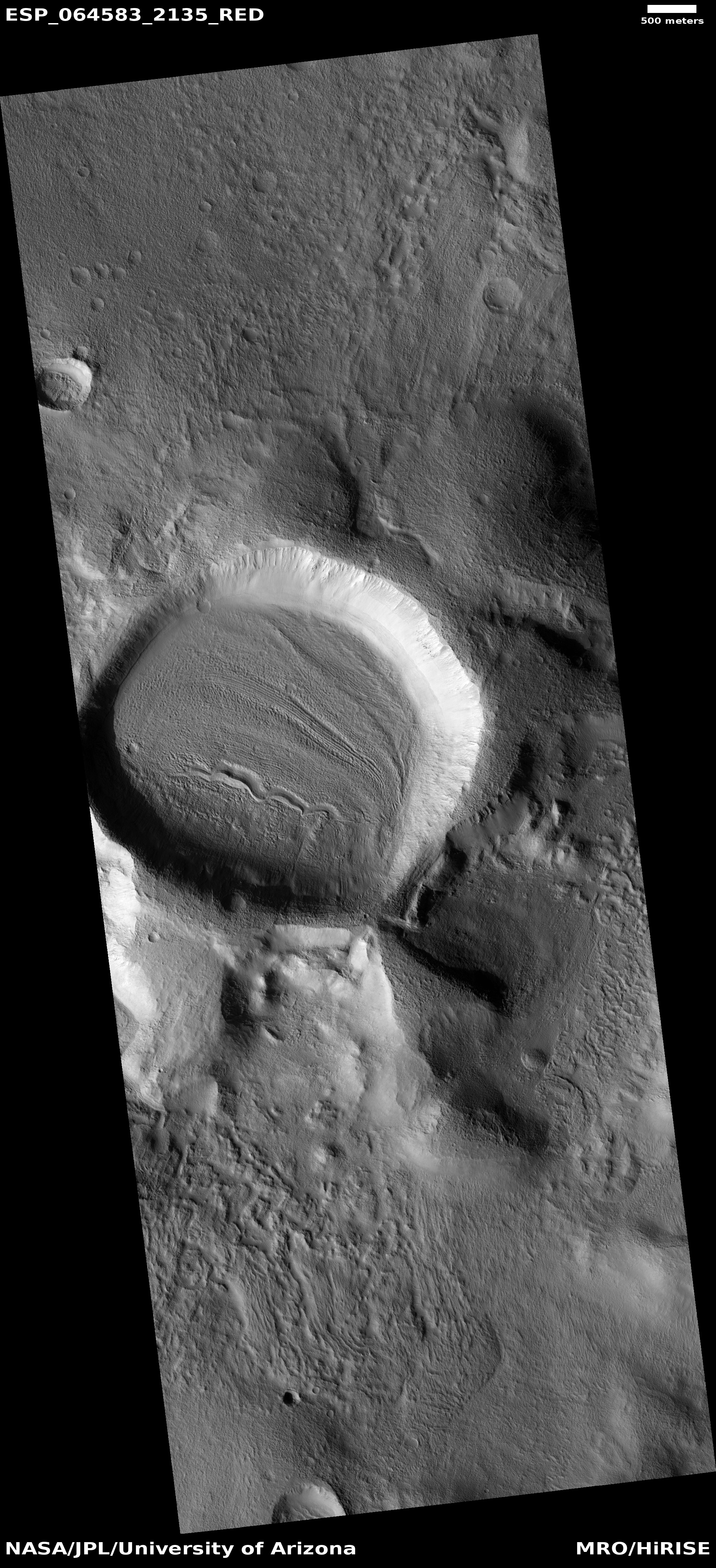
Cool image time! Unlike most of the recent images I’ve posted from Mars, today’s has nothing glacial about it. Instead, the photo to the right, cropped to post here, shows us a crater where lava broke through the southern rim to fill its interior.
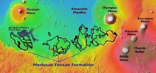
The picture was taken on July 15, 2020 by the high resolution camera on Mars Reconnaissance Orbiter (MRO). The crater is located within what I call volcano country on Mars, just inside the Athabasca Valles lava field, what some scientists believe [pdf] is the youngest lava field on Mars, estimated have occurred less than 600 million years ago.
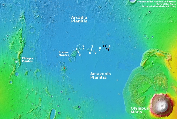
The overview map below provides context.
The tiny white box south of Elysium Mons indicates the location of this crater. The dark blue areas indicate the extent of the Athabasca lava field. The Medusae Fossae Formation is the largest volcanic ash deposit on Mars.
The Athabasca lava field is about the size of Great Britain, and is thought to have been laid down in only a matter of a few weeks. When it spread it clearly reached this crater, the lava pushing through to fill it. If you look at the full image you can see that the north-trending lava flow even continued past the crater a considerable distance on both sides, the crater acting like a big rock in a stream, blocking the flow.
Since this happened more than half a billion years ago, a lot of erosion has occurred, mostly between the crater’s rim and the edge of the ponded but now solidified lava.