NASA narrows to three the Mars rover landing sites in 2020

Scientists have now narrowed to three the candidate landing sites for NASA’s 2020 Mars rover mission.
The three sites include Jezero crater, which was once home to an ancient Martian lake and which could preserve the remains of microbial life, if it ever existed on Mars. “You’ve got a large river bringing water and sediment into a very large lake, comparable to Lake Tahoe,” says Timothy Goudge, a planetary scientist at the University of Texas at Austin. Jezero scored highest on a community vote of scientists attending the workshop.
Other possible targets include Northeast Syrtis, where hot waters once circulated through the crust and could have supported life, and Columbia Hills, the area explored for years by NASA’s Spirit rover.
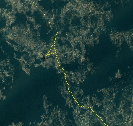
From the Nature article above as well as this Science article, it sounds like the Columbia Hills choice is unlikely. The Science article pushes Jezero crater, which had the most votes at the workshop and is shown in the image on the right.

