Mars geology at its strangest
Click for original image.
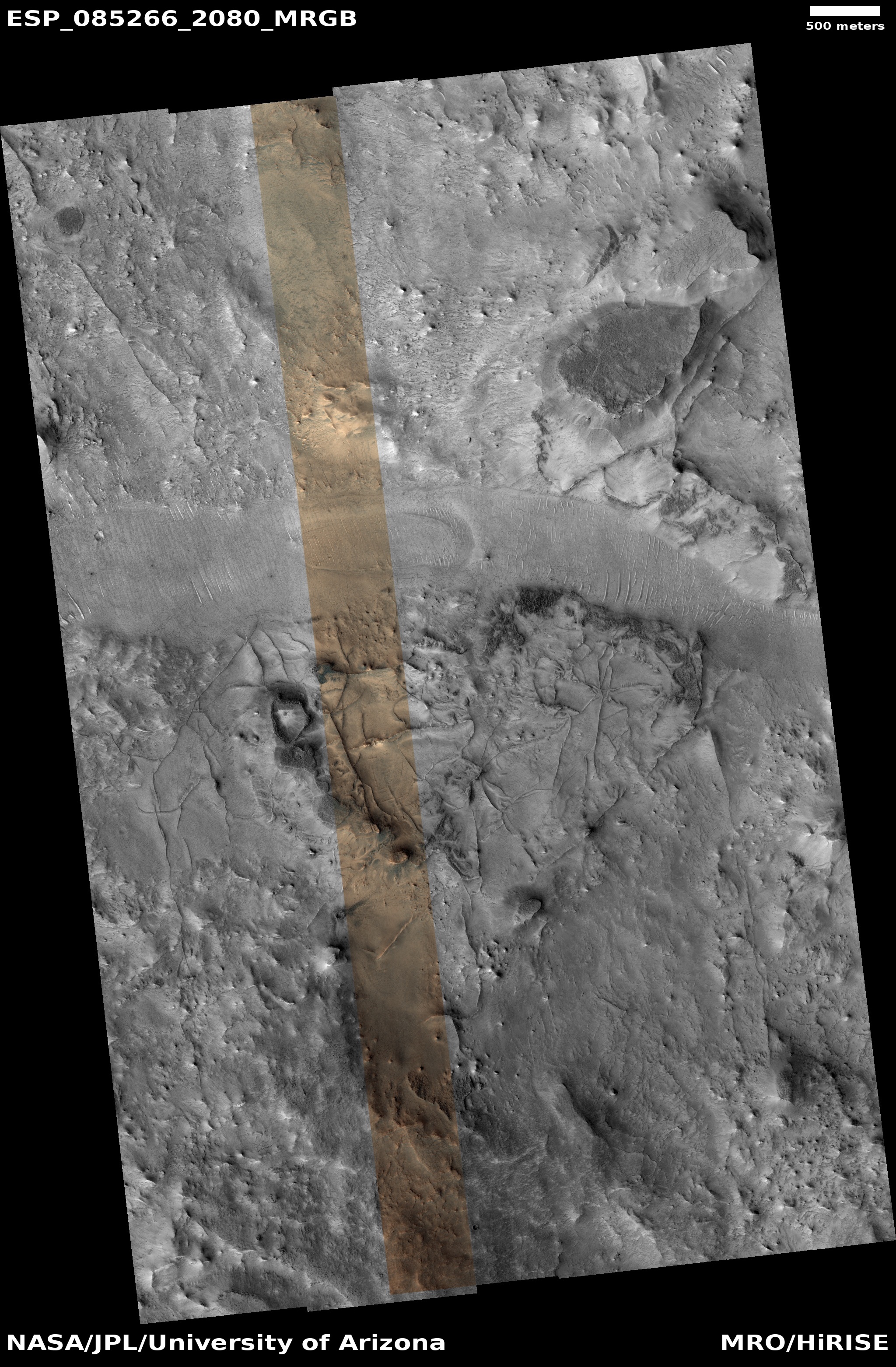
Cool image time! The picture to the right, cropped and reduced to post here, was taken on July 29, 2024 by the high resolution camera on Mars Reconnaissance Orbiter (MRO). It shows the northeast quadrant of a weirdly distorted unnamed 3-mile-wide crater in the northern lowland plains of Mars. The crater rim is the ridgeline that enters from picture’s left edge to curve down to exit at bottom right.
The geological feature of interest however is the strange mound to the left of that rim, inside the crater. It certainly appears, based on shadows, that the top of this mound popped off at some time in the past, leaving behind that sharp-edged hollow.
Note however that there is no eruption debris. When a volcano erupts, the debris covers the nearby mountainside. Here we see no evidence of anything that was flung out from this small eruption.
» Read more