
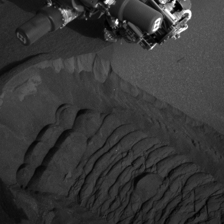
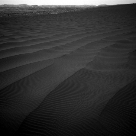
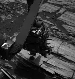
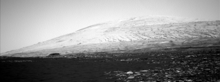
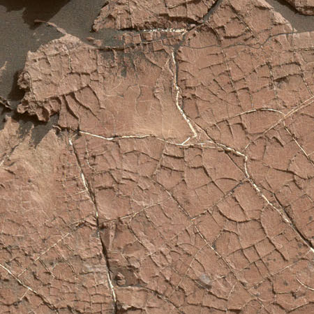
Curiosity images small tubelike rock features on Vera Rubin Ridge
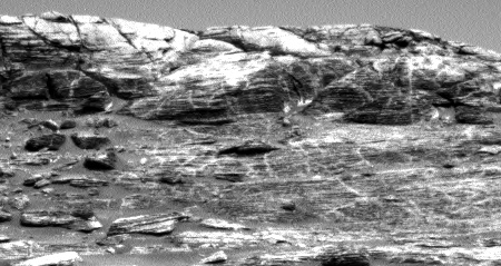
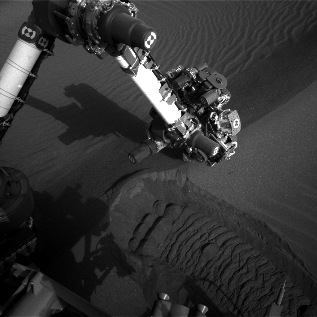
During Curiosity’s extended science observations in the past month on Vera Rubin Ridge the rover has found a number of rocks with strange tubelike features that remind some scientists of fossils. The image on the right, taken by the rover’s Mars Hand Lens Imager (MAHLI) and cropped and reduced to post here, shows some of these weird tubes.
The origin of these odd features — geological or biological processes — is in TBD limbo at the moment. Regarding trace fossils on Mars, “we don’t rule it out,” Vasavada said, “but we certainly won’t jump to that as our first interpretation.”
Close-up looks at these features show them to be angular in multiple dimensions. That could mean that they are related to crystals in the rock, perhaps “crystal molds” that are also found here on Earth, Vasavada added. Crystals in rock that are dissolved away leave crystal molds, he said.
Still, that’s just one of a few possibilities, Vasavada explained. “If we see more of them … then we begin to say that this is an important process that’s going on at Vera Rubin Ridge,” he said.
The article outlines a number of other possible explanations, including fossil remains. None are convincing at this time, based on the limited data. Nor does Curiosity have the equipment to clarify things much.

