
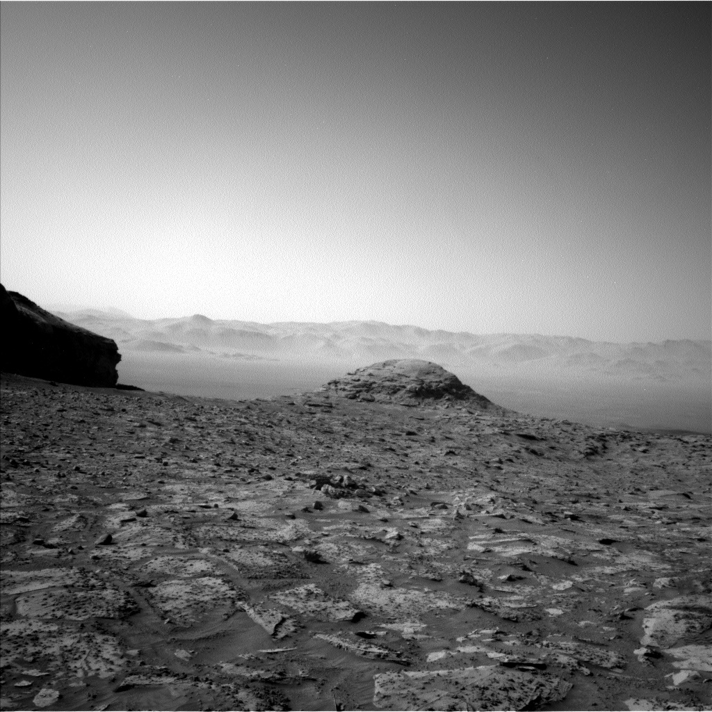
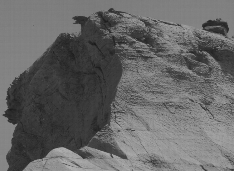
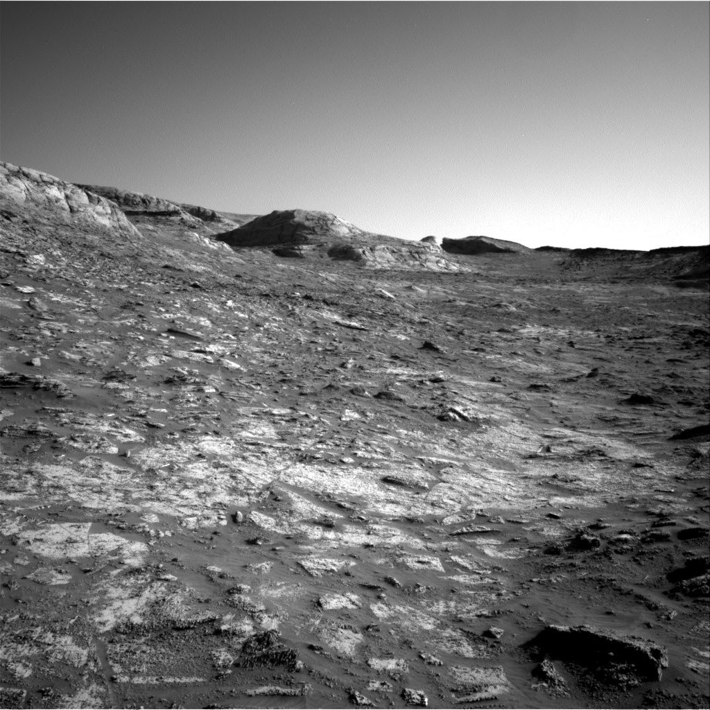
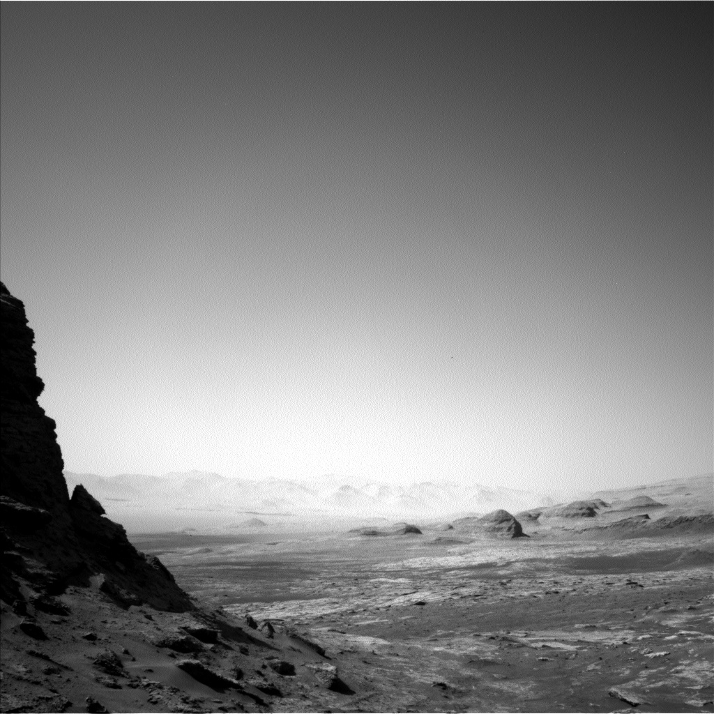
The barren rocky terrain in the mountains of Gale Crater
Click for full resolution image. Original photos can be found here, here, here, here, and here.

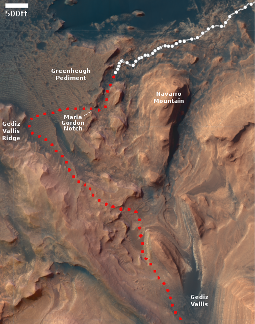
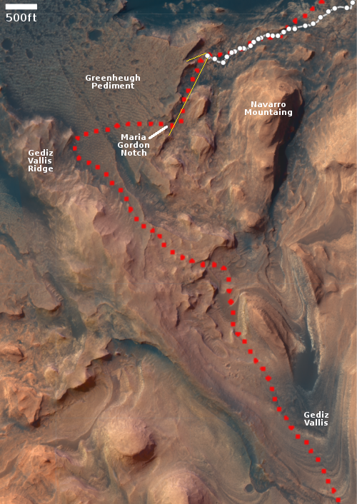
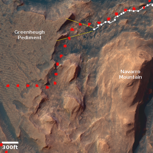
Click for interactive map.
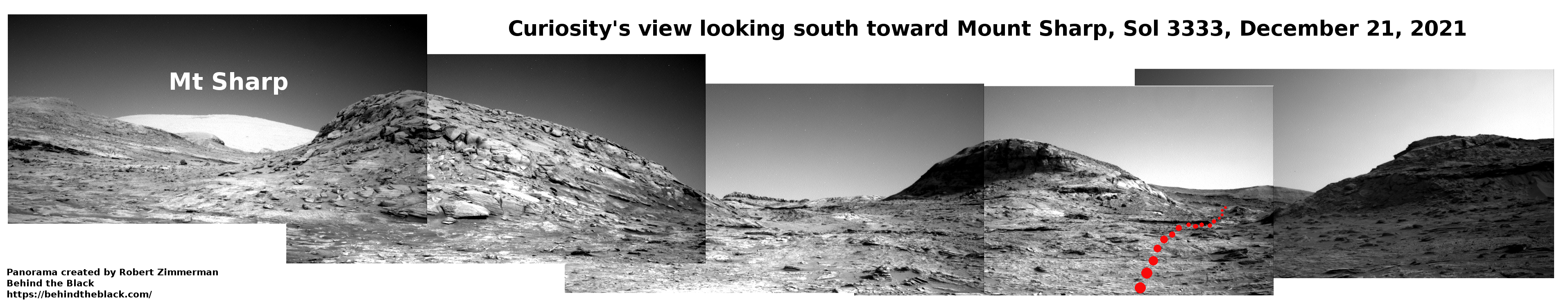
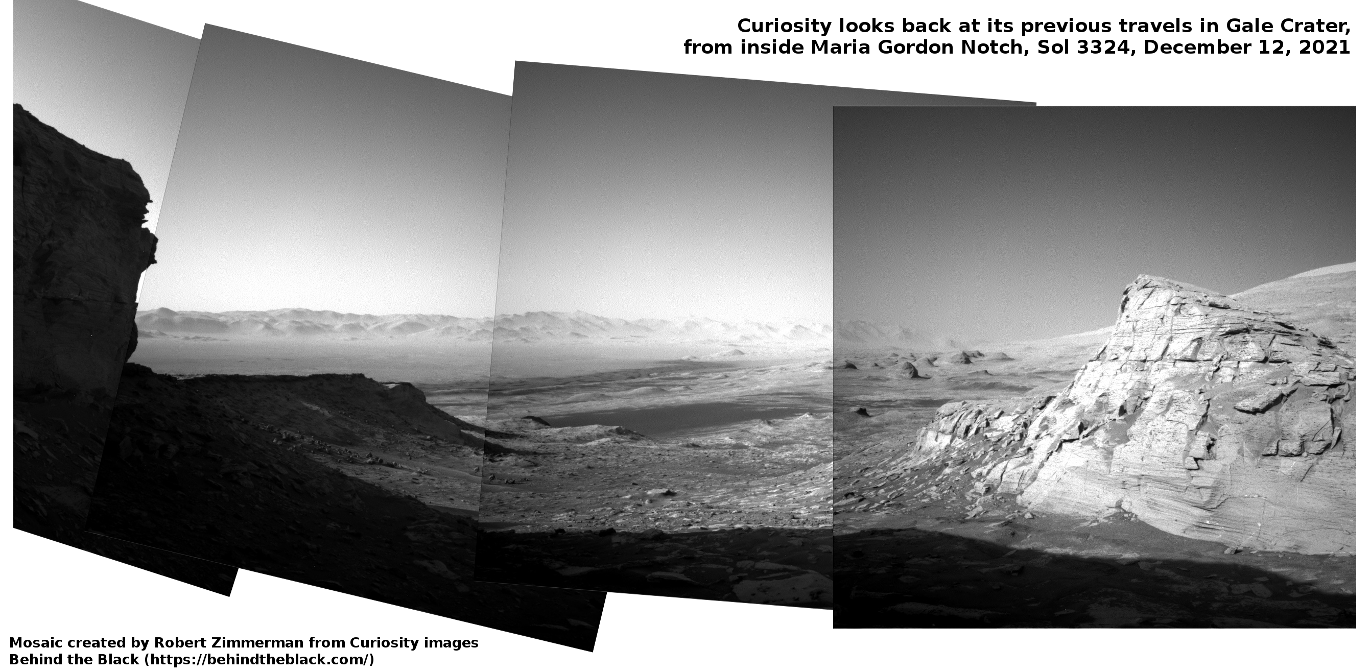
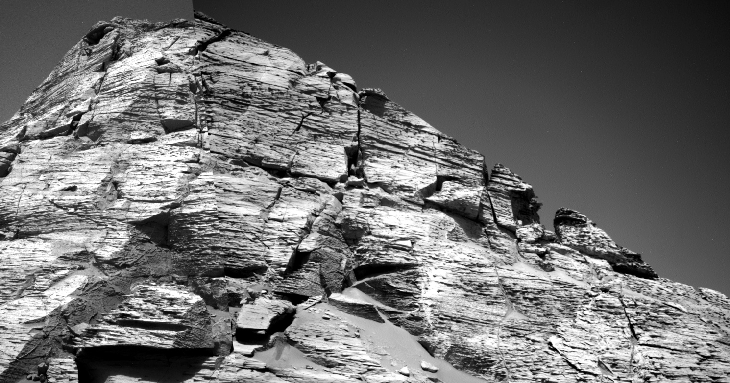
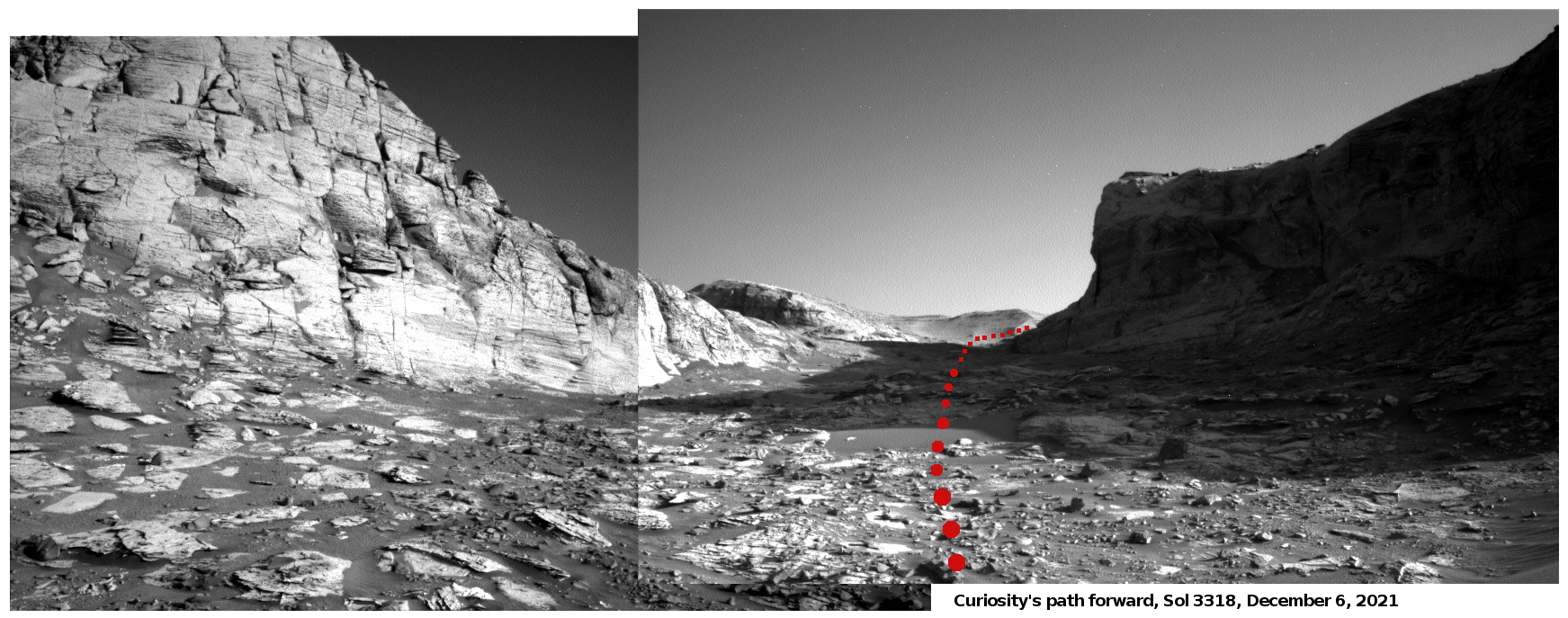
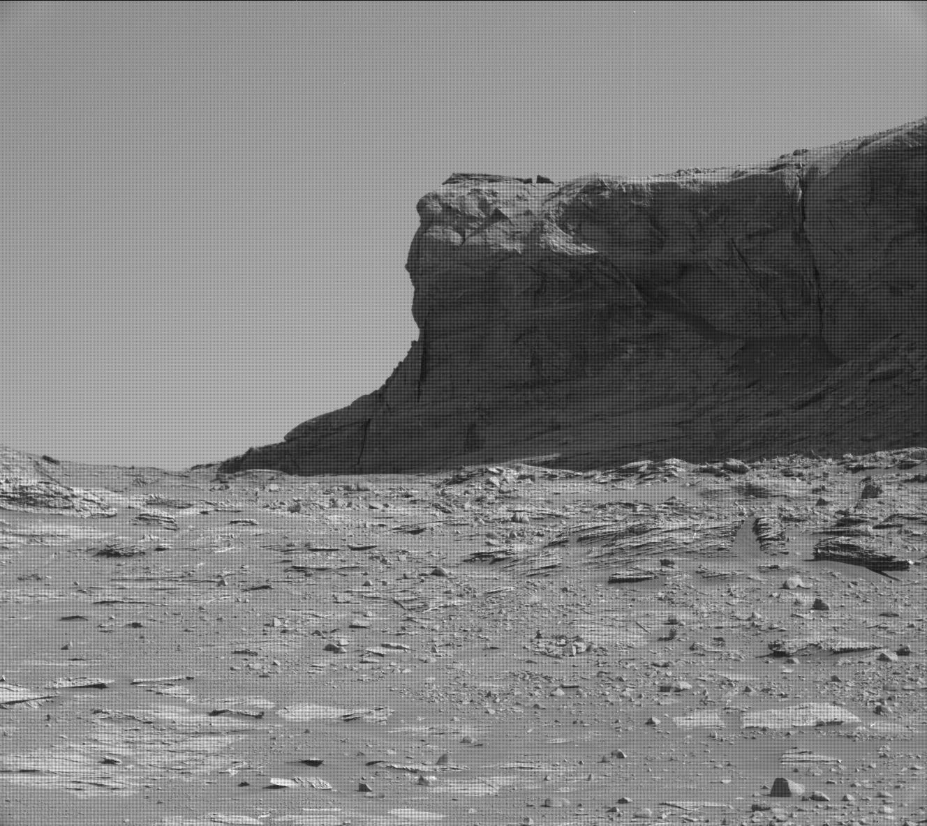
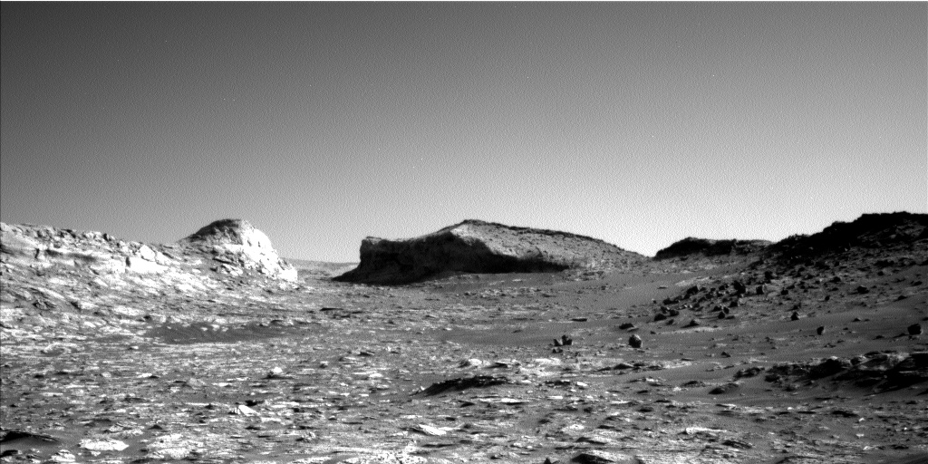
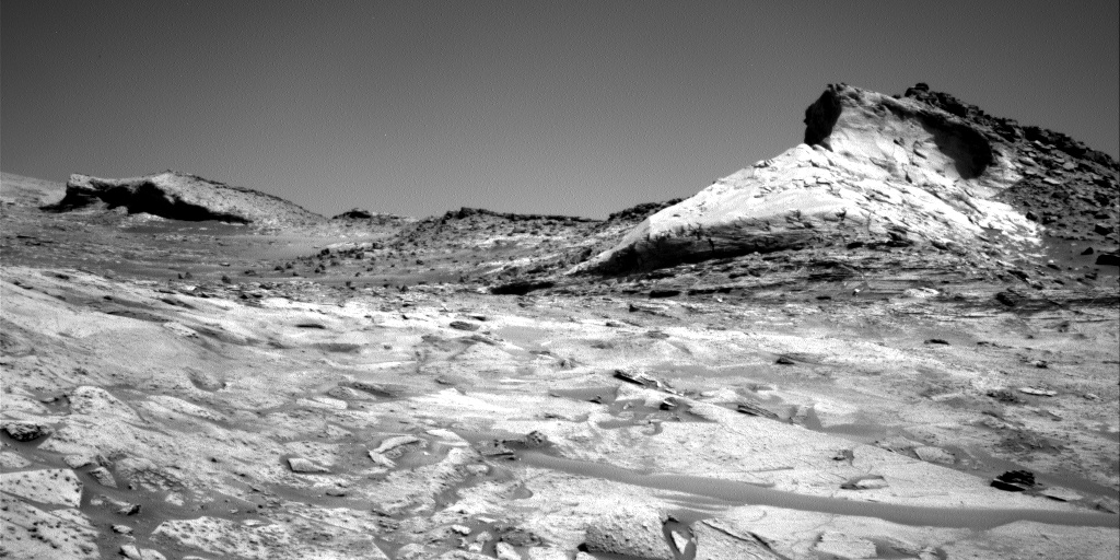
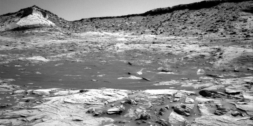
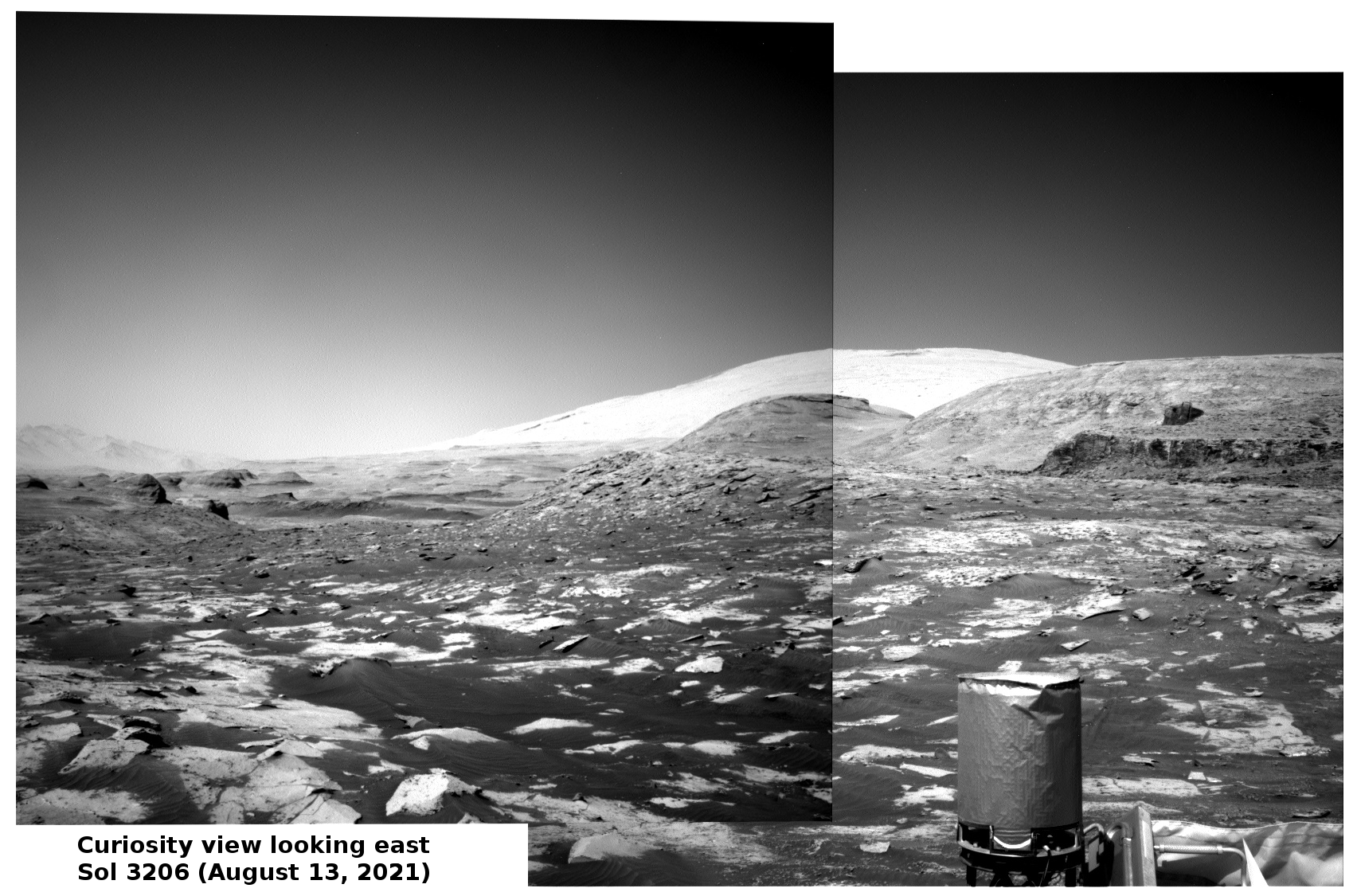
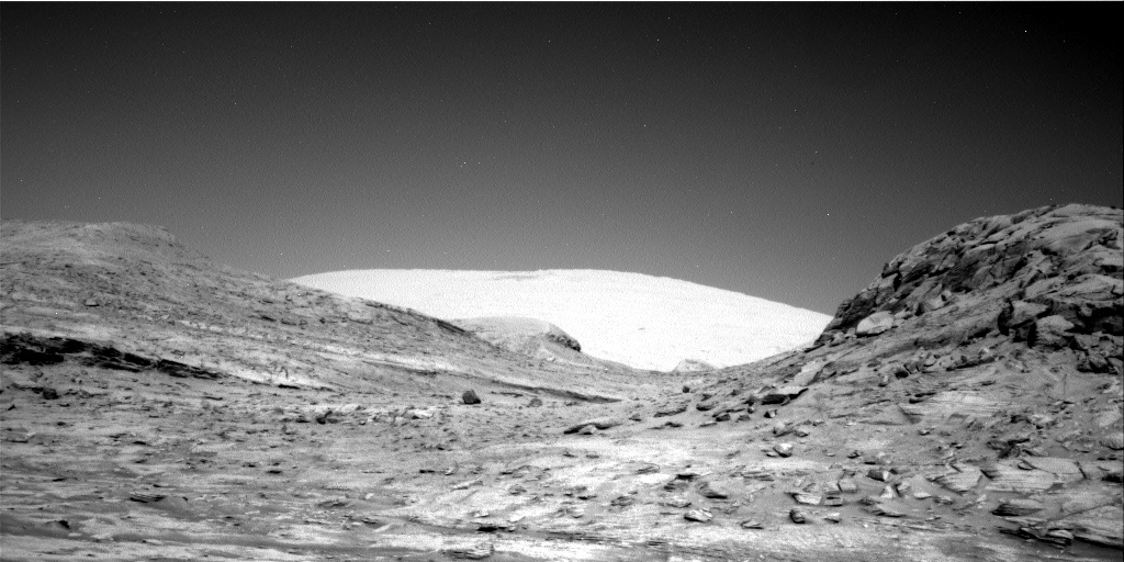
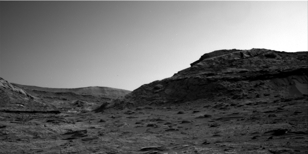
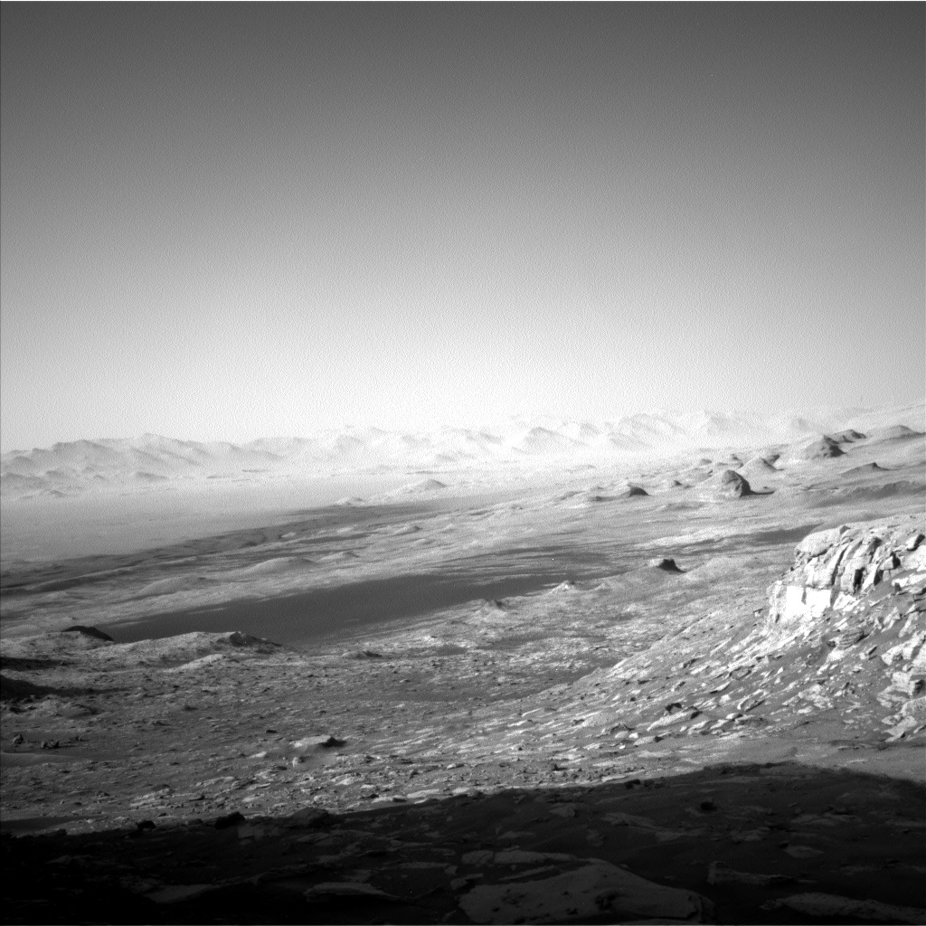
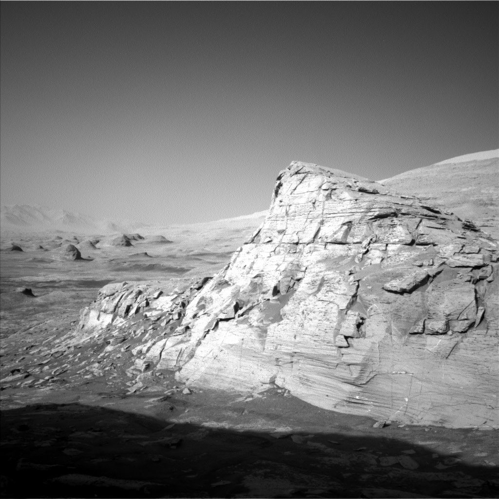
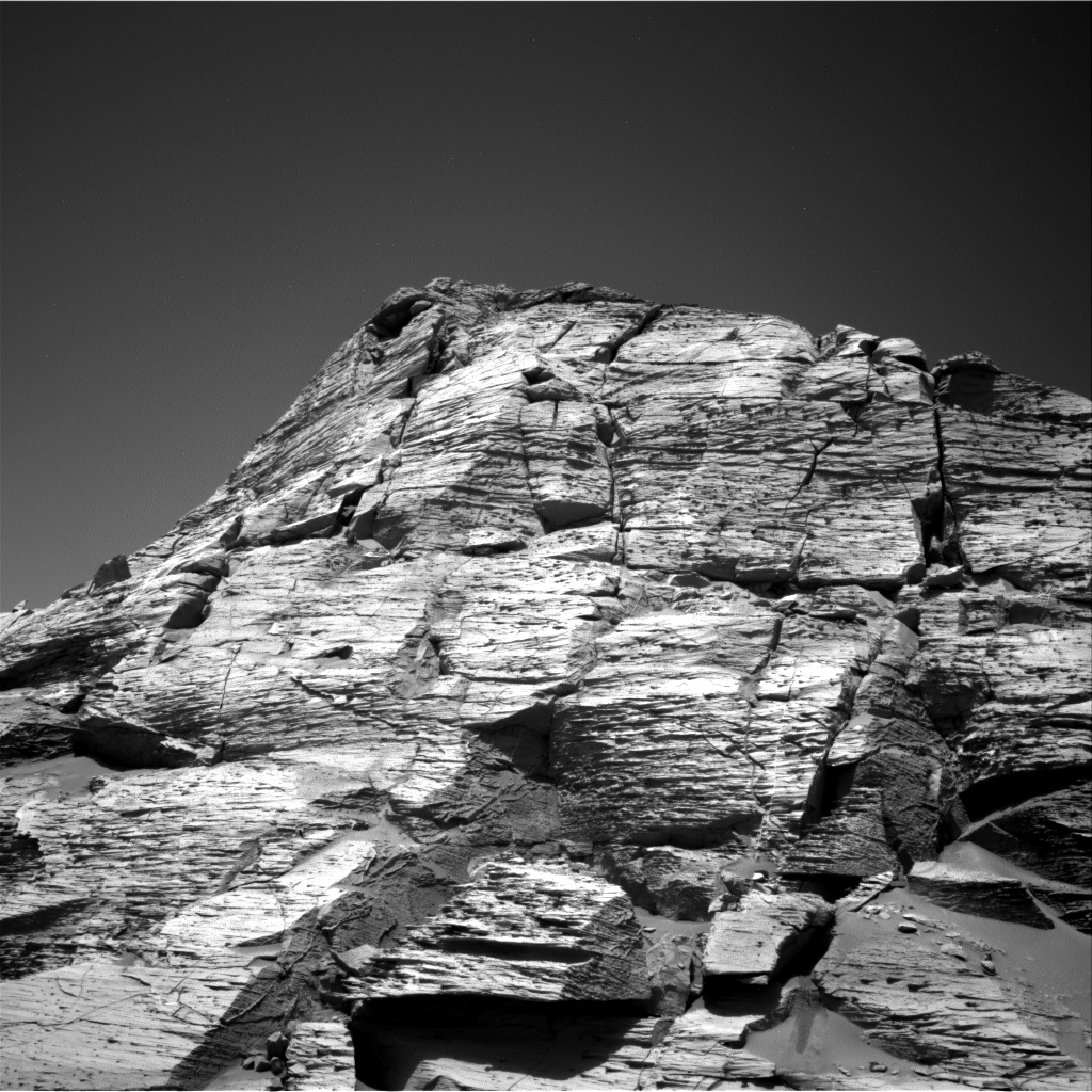
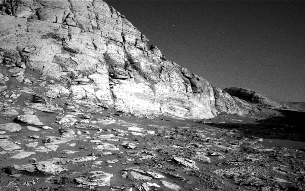
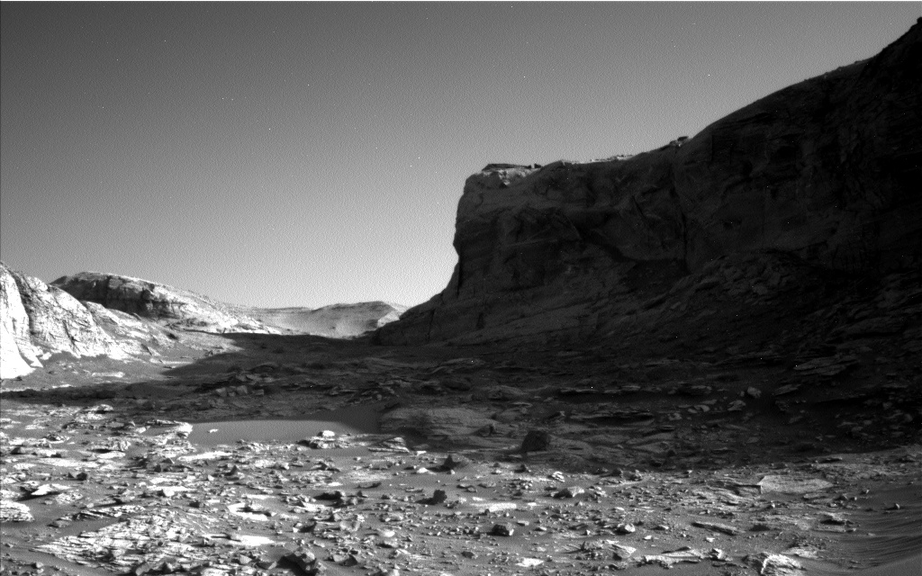
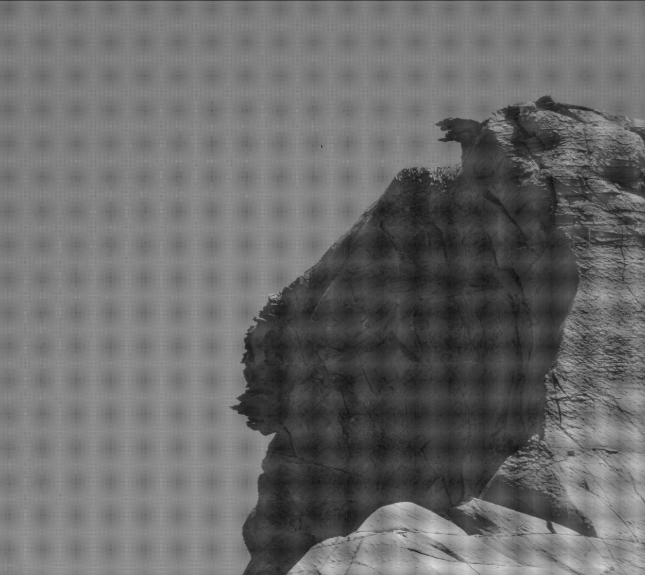
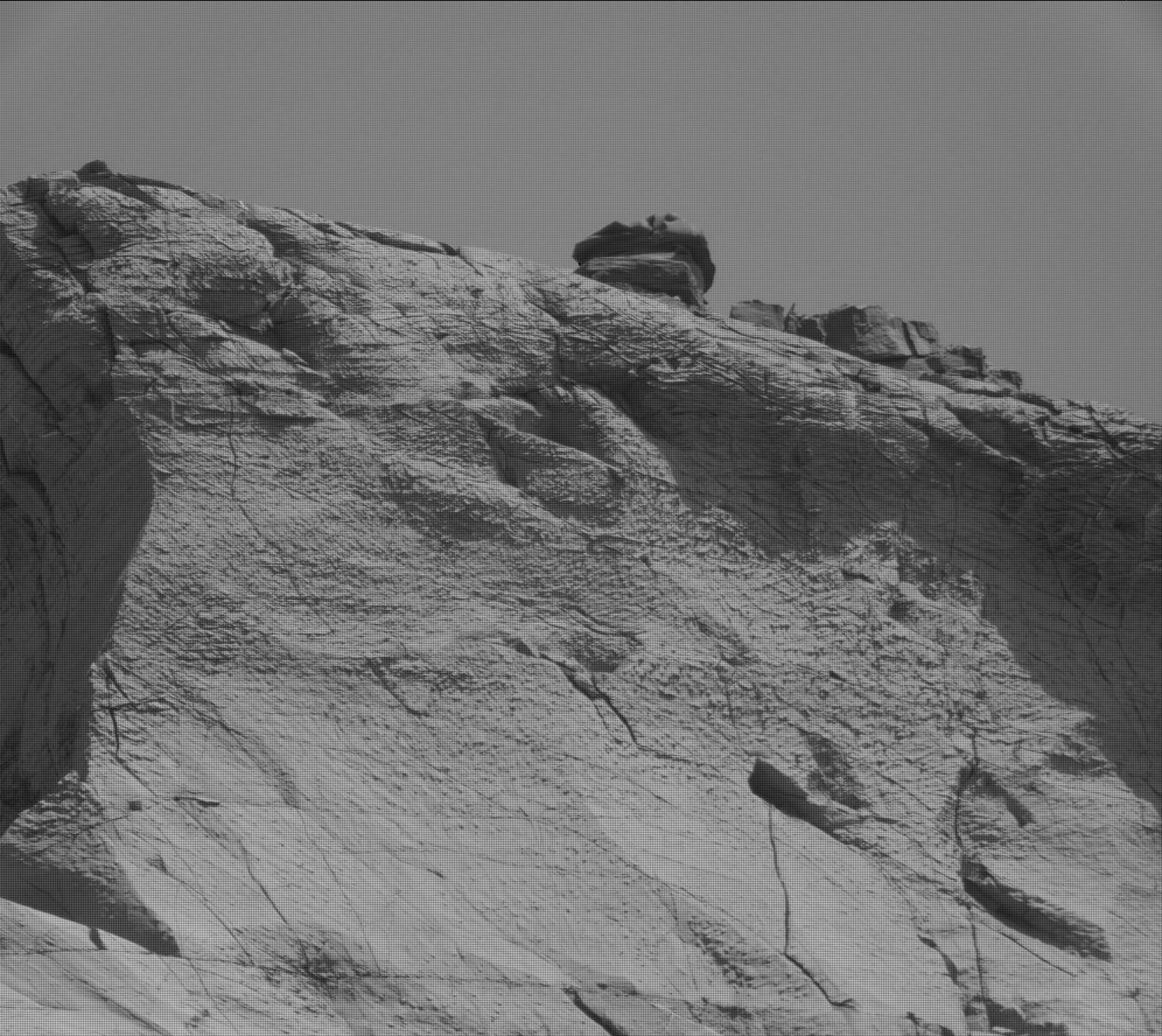
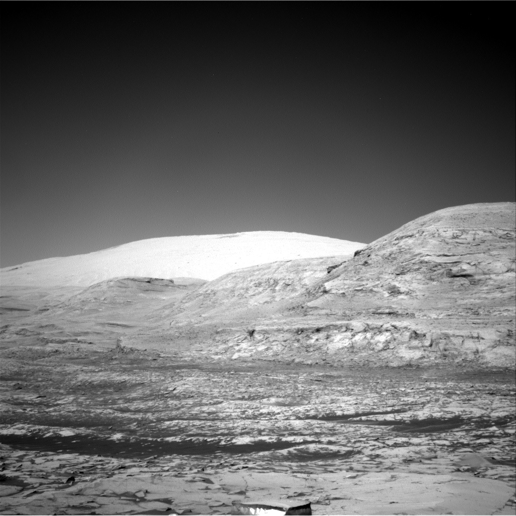
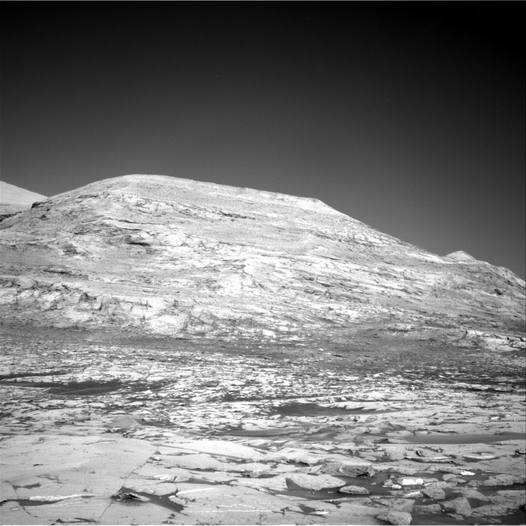
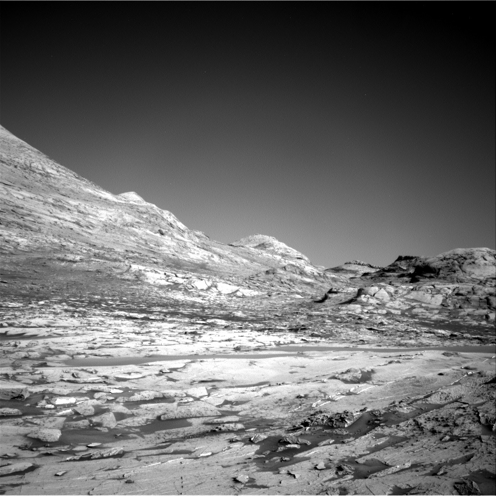
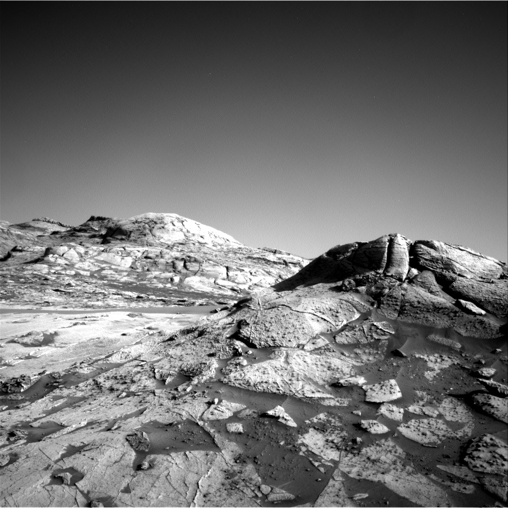
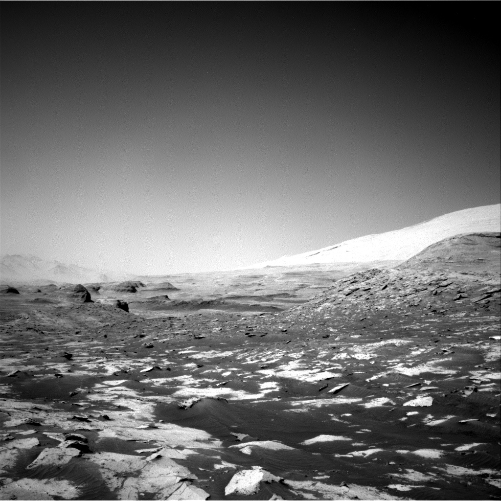
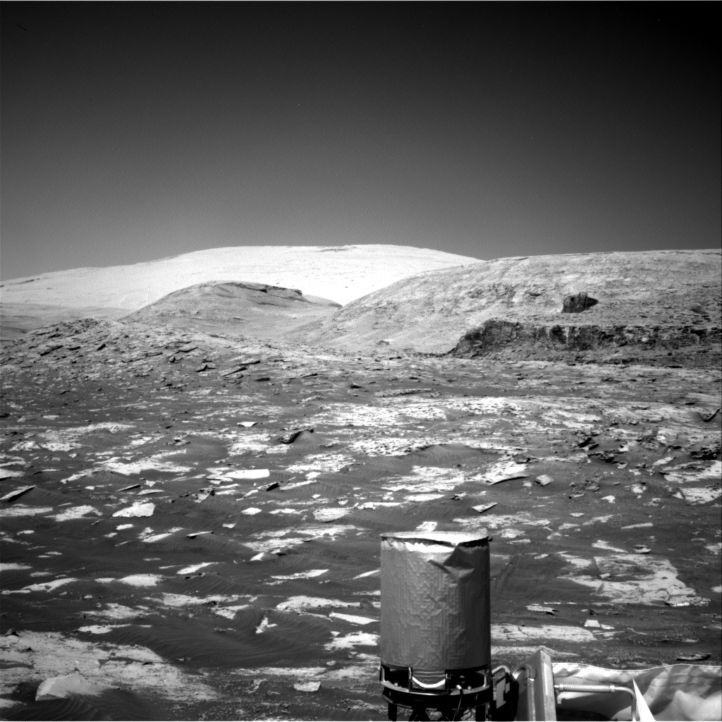
Cool image time! Curiosity yesterday used its navigation cameras to take a panorama of the view inside Maria Gordon Notch. The mosaic above, created from five images taken by the right navigation camera, shows the view looking south and uphill towards Mount Sharp. The heights of the nearest four hills are likely ranging from 30 to 100 feet.
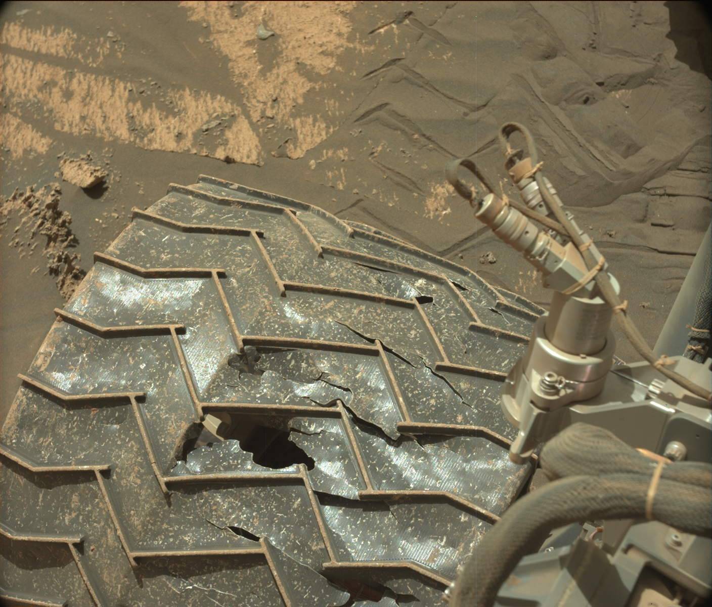
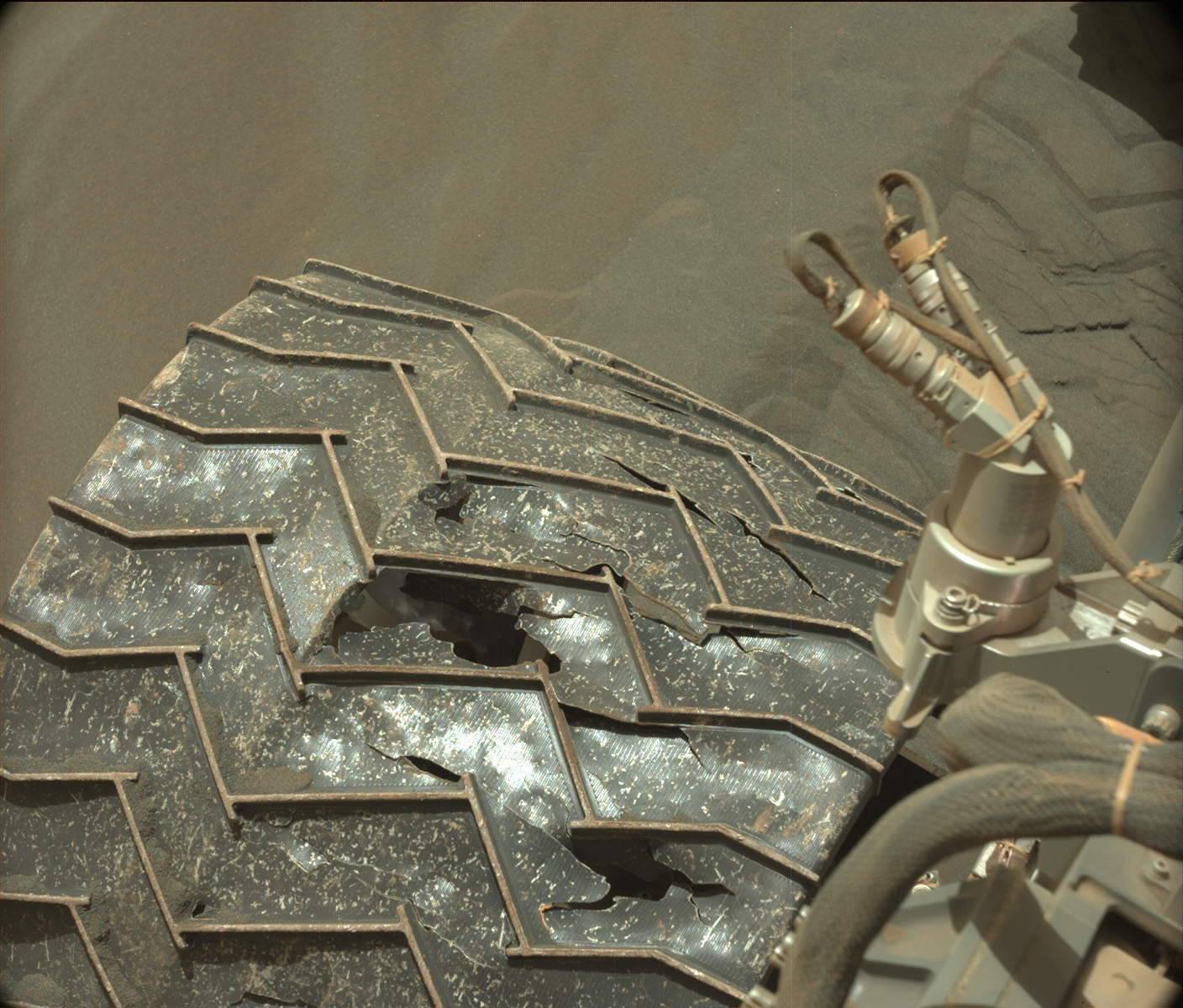
The red dotted line indicates the planned route out of Gordon Notch and up onto the Greenheugh Pediment. If you click on the panorama to look at the full resolution version, you will see that the exit route looks extemely rough, possibly too rough for Curiosity to handle. How the science team handles this issue will be fascinating to watch in the coming weeks.
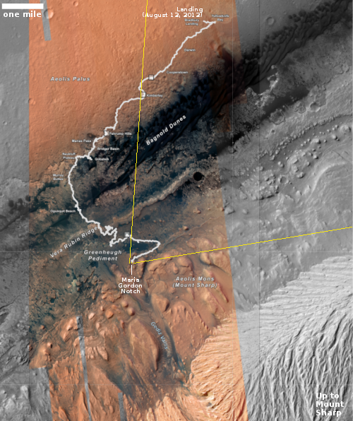
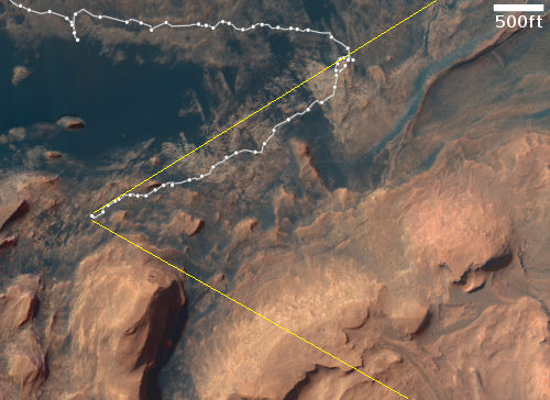
The map to the right gives us an overview. The white line is Curiosity’s actual travels. The red dotted line marks the planned route. The yellow lines indicate the area covered by the panorama above.
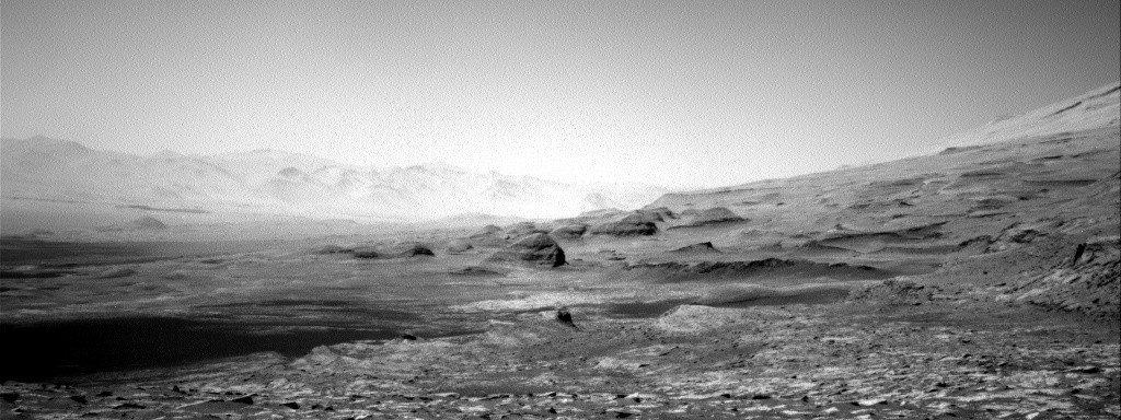
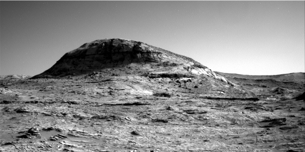
The most striking feature of this Martian terrain is its stark barrenness. All one can see in all directions are rocks and inanimate geology. There is no life, none at all. On Earth it is practically impossible to find any mountainous spot as barren as this, even in the most extreme and hostile environments.
As I’ve said before, Mars is strange, Mars is wonderful, and above all, Mars is alien.


