
Mars gives us another “What the heck?” image

Click for original image.
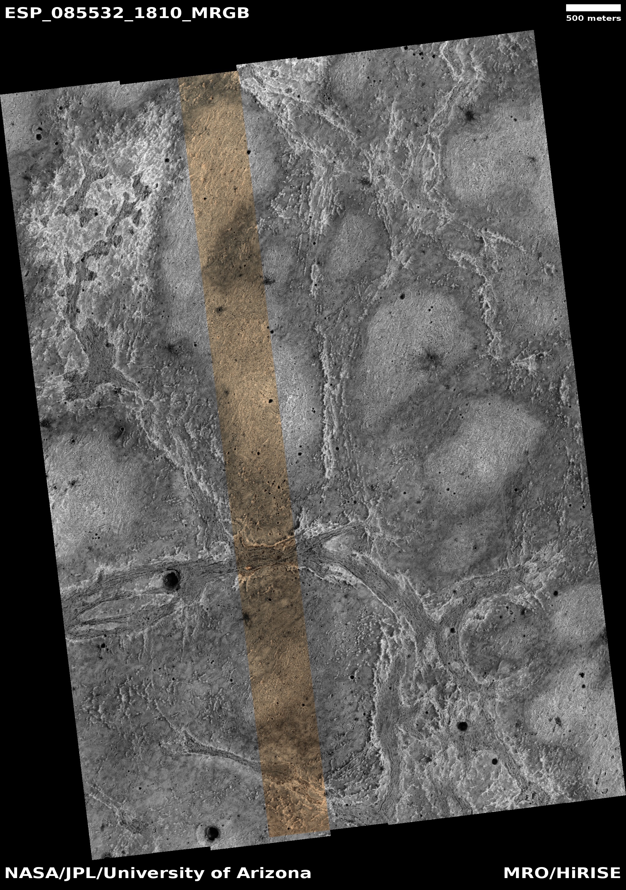
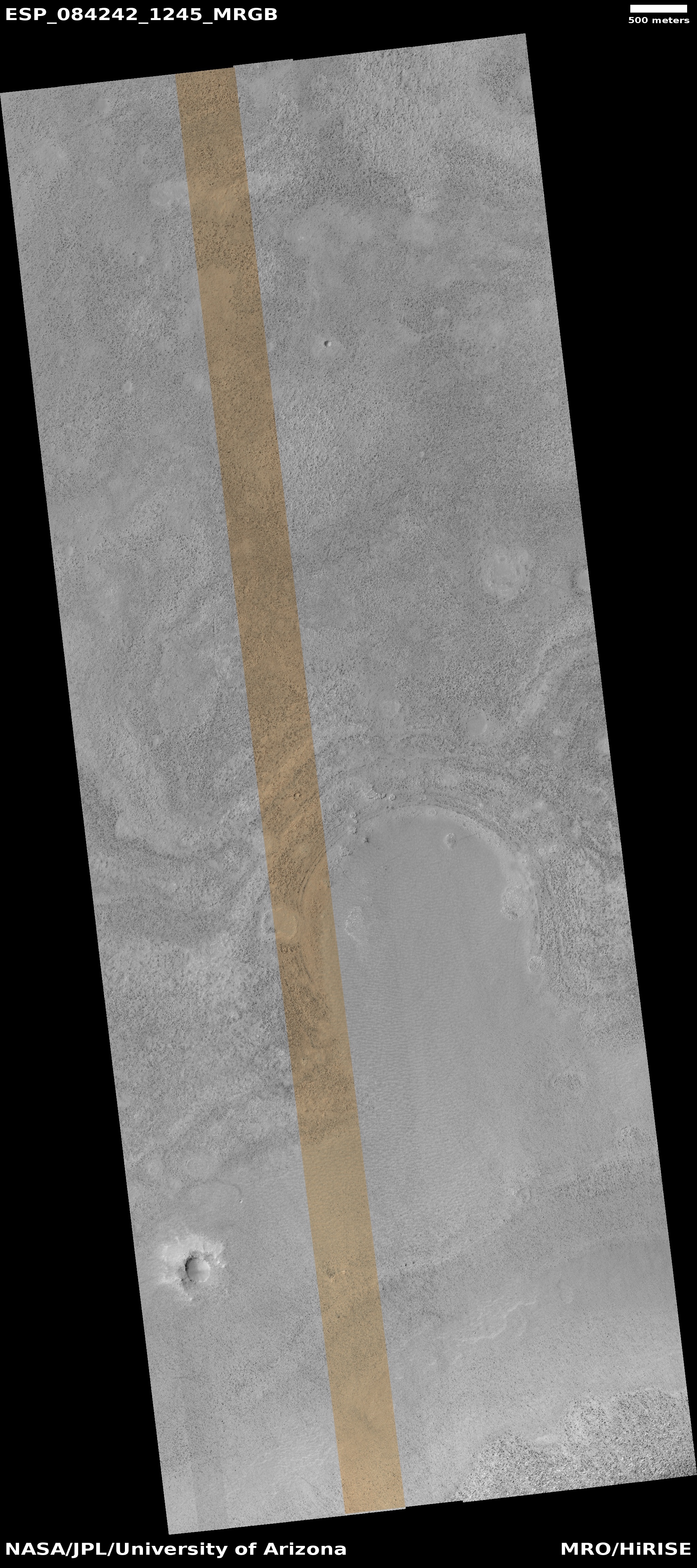
Cool image time! The picture to the right, rotated, cropped, reduced, and sharpened to post here, was taken on October 2024 by the high resolution camera on Mars Reconnaissance Orbiter (MRO).
The science team labels this “layered rock.” I label it another one of my “What the heck is that?” images on Mars. If I didn’t know this was an orbital image looking down at an alien planet, I’d think it was a paisley pattern on a piece of dark fabric.
The converging “streams” suggest flows, but there really is no clear downhill grade, the landscape generally flat. The lighter patches suggest either higher terrain the flows went around, or places where something bubbled up from below. Or maybe the “flows” are actually cracks that the bubbling material filled as it rose.
I have no idea if any of these theories is right.
» Read more
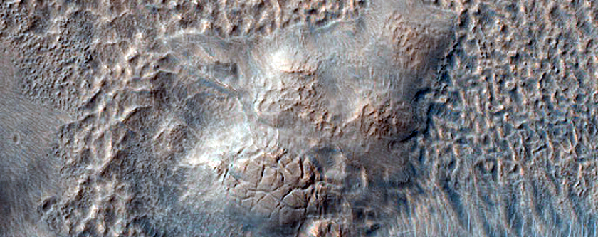
Click for original image.
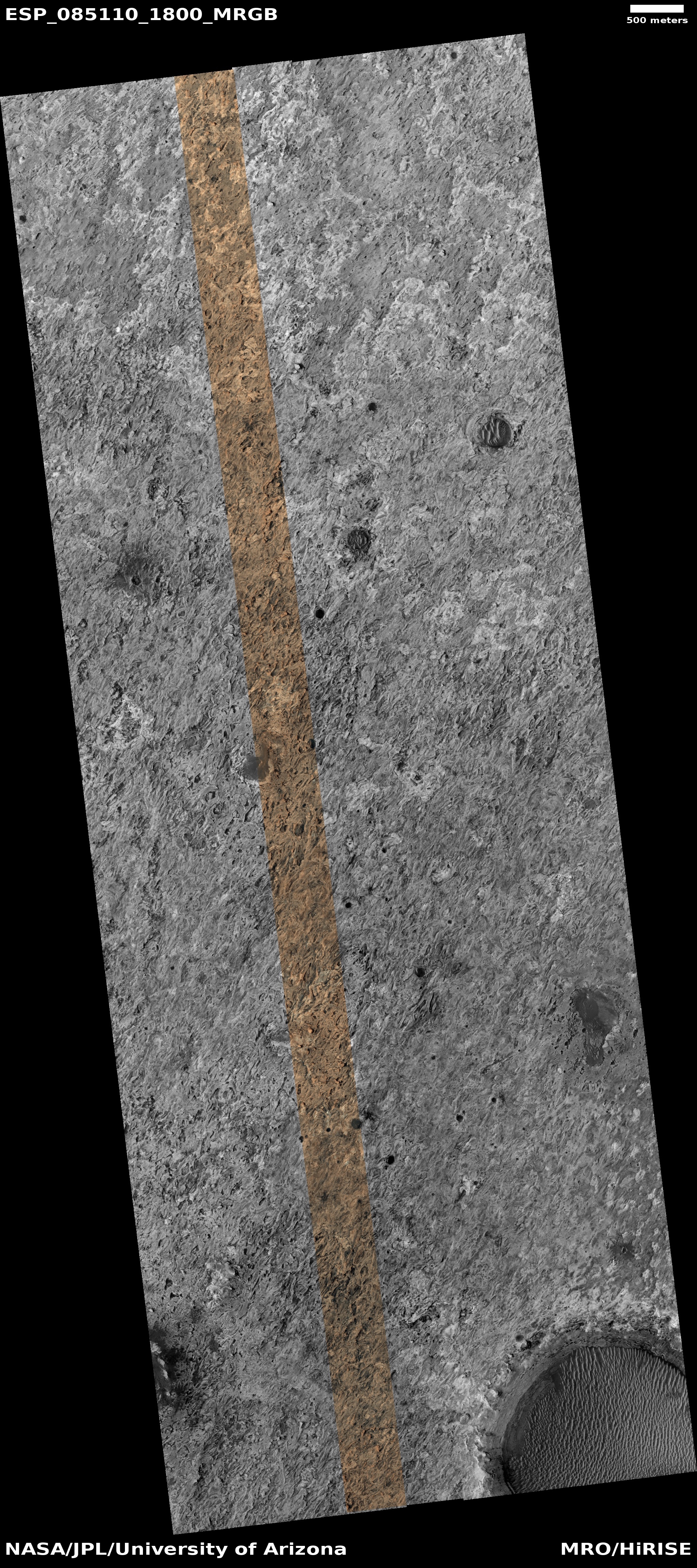
Cool image time! The picture to the right, rotated, cropped, reduced, and sharpened to post here, was taken on October 2024 by the high resolution camera on Mars Reconnaissance Orbiter (MRO).
The science team labels this “layered rock.” I label it another one of my “What the heck is that?” images on Mars. If I didn’t know this was an orbital image looking down at an alien planet, I’d think it was a paisley pattern on a piece of dark fabric.
The converging “streams” suggest flows, but there really is no clear downhill grade, the landscape generally flat. The lighter patches suggest either higher terrain the flows went around, or places where something bubbled up from below. Or maybe the “flows” are actually cracks that the bubbling material filled as it rose.
I have no idea if any of these theories is right.
» Read more


