
Martian glacier flowing past small peak

Click for original image.
Cool image time! The picture to the right, rotated, reduced, and sharpened to post here, was taken on November 24, 2025 by the high resolution camera on Mars Reconnaissance Orbiter (MRO).
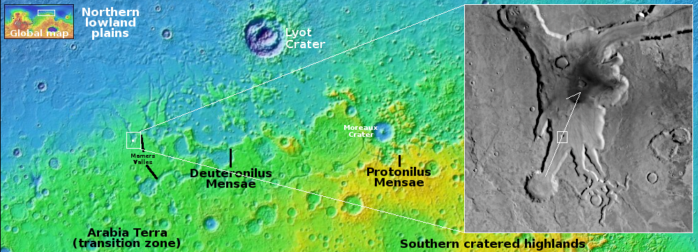
As is proper, the science team labels this vaguely as a “flow obstacle in lobate debris apron.” The obstacle is that small peak. The lobate debris apron is the material flowing past, resembling in almost all details what a glacier looks like on Earth. The scientists use vague terms because they don’t want to trap themselves into a conclusion before it is confirmed.
Nonetheless, based on all the data MRO and other Mars orbiters have been gathering for the past decade, we are almost certainly looking at near-surface ice flowing downhill and past that peak.
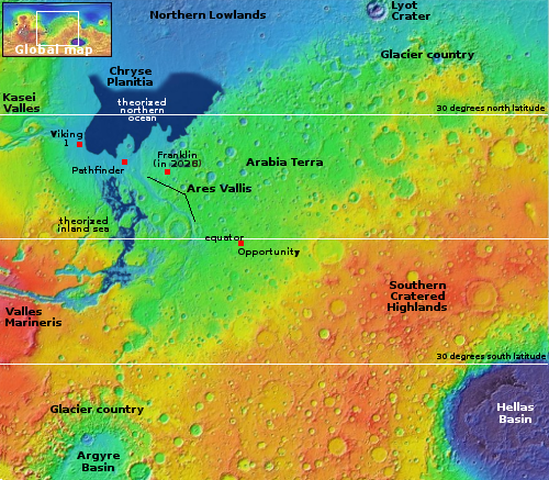
The white dot in the overview map above marks the location, on the western end of the 2,000-mile-long mid-latitude strip I label “glacier country,” because practically every image from this region shows features such as this.
The arrow in the inset shows the direction of the downhill grade, dropping from 2,000 to 3,000 feet from the surrounding plateau. The peak itself rises about 130 feet above the flow on the uphill side, but 650 feet above on the downhill side. Apparently the flow piled up somewhat as it hit the peak.
That flow however is likely inactive at this time. Though the researchers have repeatedly monitored the many glacial flows they have found on Mars in the decade since MRO arrived in Mars orbit, so far I have heard of no example showing any movement. And that covers about five Martian years.
These images do prove one thing: Mars is not dry. It has plenty of water near the surface, though locked in ice.


