Click for full image.
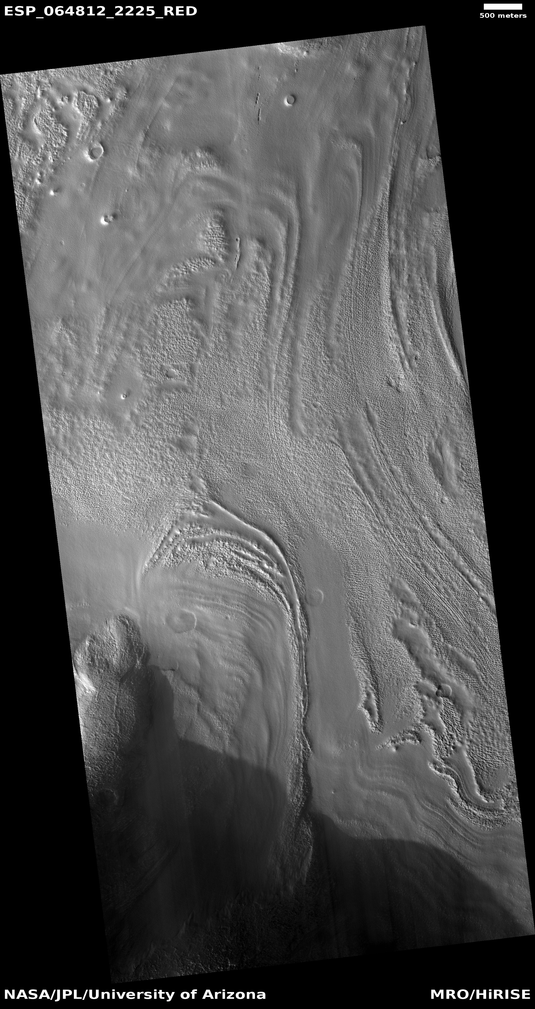
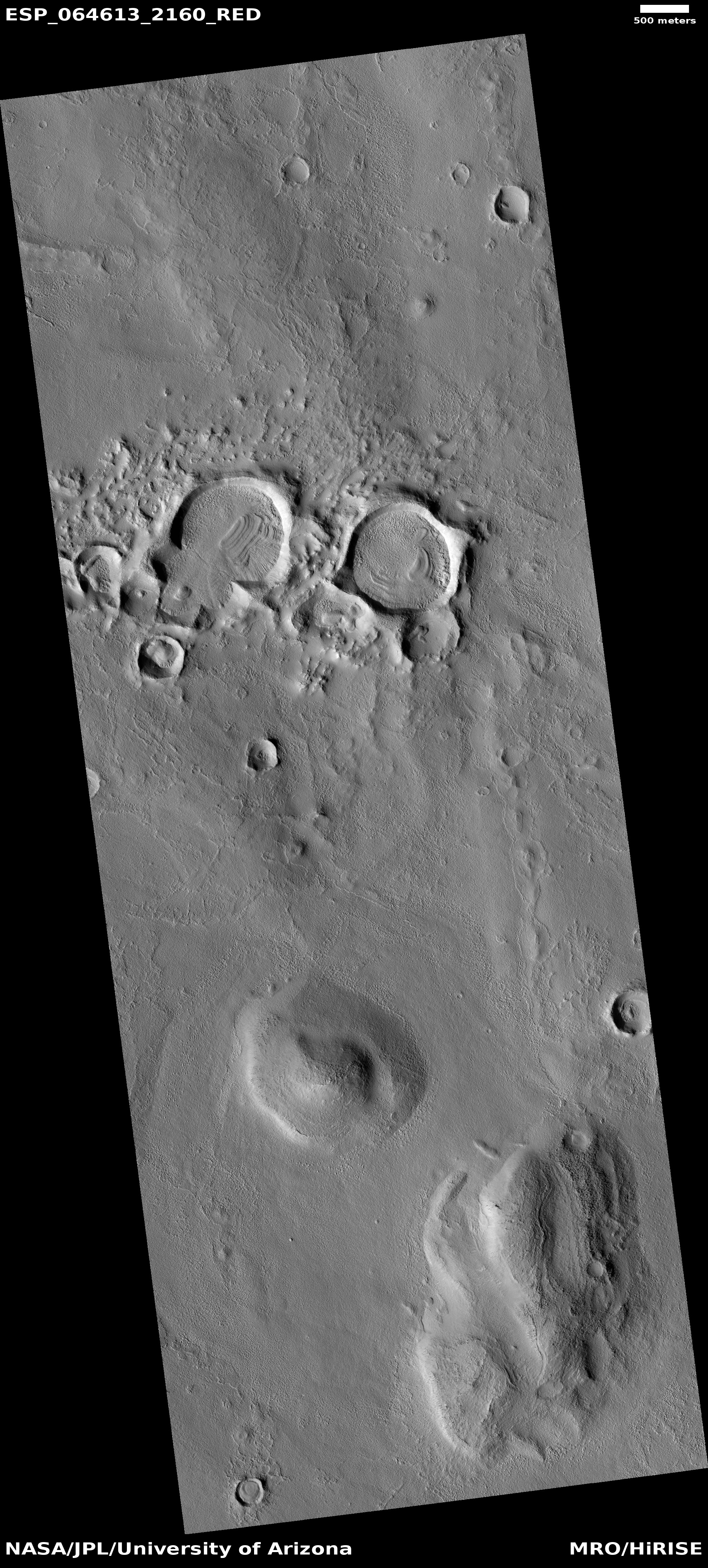
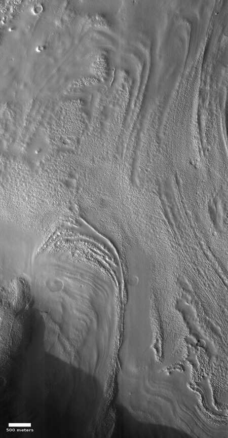
Cool image time! The photo to the right, rotated, cropped, and reduced to post here, was taken on May 24, 2020 by the high resolution camera on Mars Reconnaissance Orbiter (MRO), and provides a wonderful example of the kind of evidence of buried glaciers found extensively in the mid-latitudes of Mars.
This particular region, called Protonilus Mensae, is a region of chaos terrain at the transition zone between the southern cratered highlands and the northern lowland plains. I have featured a number of cool images in Protonilus, all of which show some form of buried glacial flow, now inactive.
The last cool image above was one that the MRO science team had picked to illustrate how to spot a glacier on Mars.
In this particular image are several obvious glacier features. First, we can see a series of moraines at the foot of each glacier in the photo, each moraine indicating the farthest extent of the glacier when it was active and growing. It also appears that there are two major layers of buried ice, the younger-smaller layer near the image’s bottom and sitting on top of a larger more extensive glacier flow sheet. This suggests that there was more ice in the past here, and with each succeeding ice age the glaciers grew less extensive.
Second, at the edges of the flows can be seen parallel ridges, suggestive also of repeated flows, each pushing to the side a new layer of debris.
Third, the interior of the glacier has parallel fractures in many places, similar to what is seen on Earth glaciers.
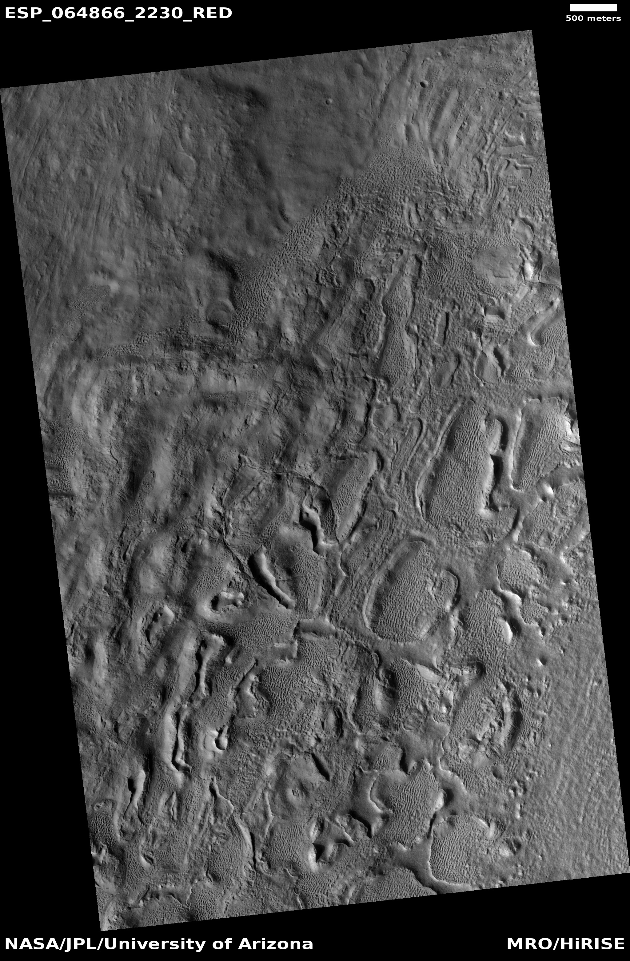
Protonilus Mensae, as well as the neighboring chaos regions Deuteronilus to the west and Nilosyrtis to the east, could very well be called Mars’ glacier country. Do a search on Behind the Black for all three regions and you will come up with numerous images showing glacial features.
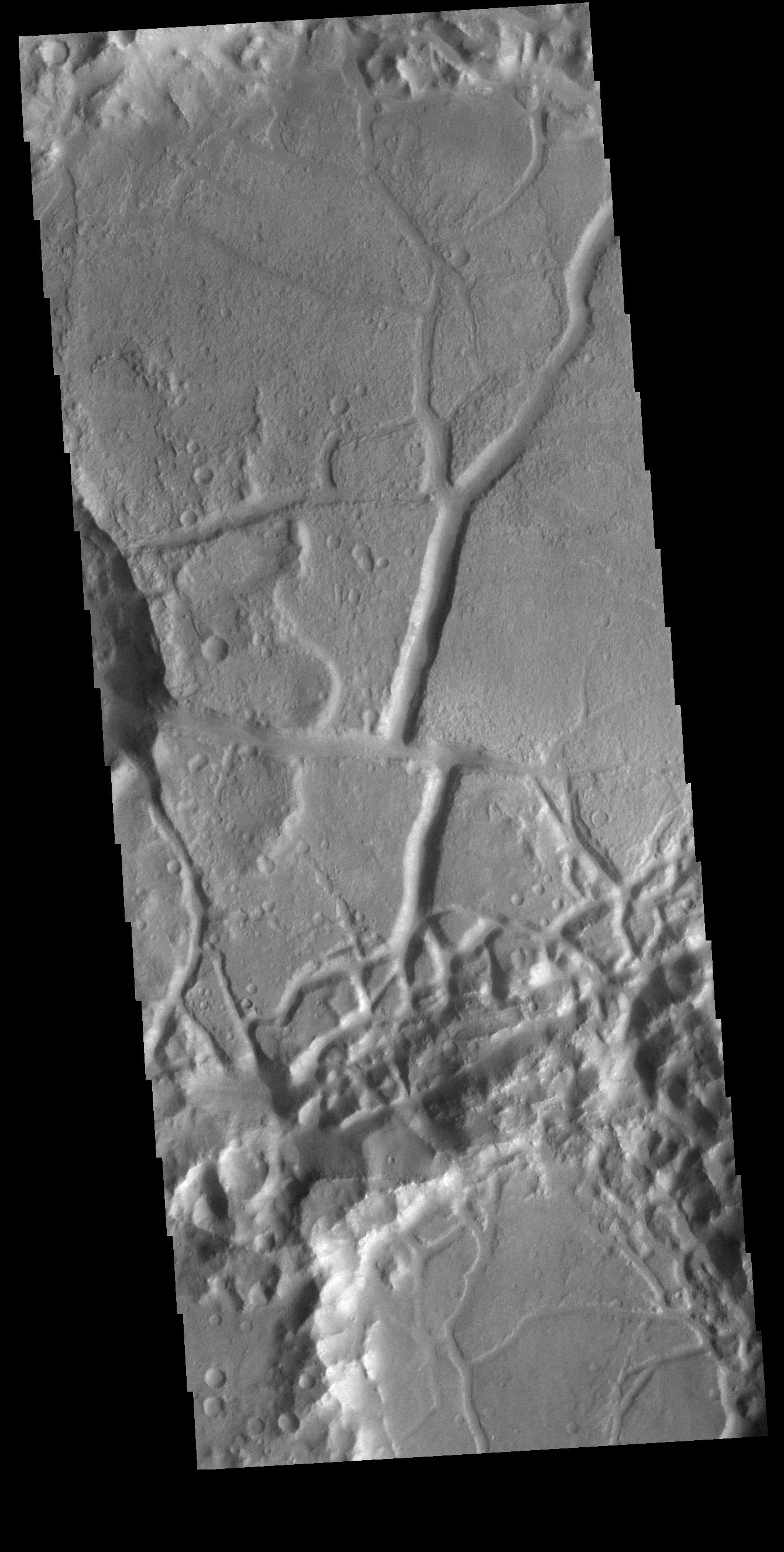
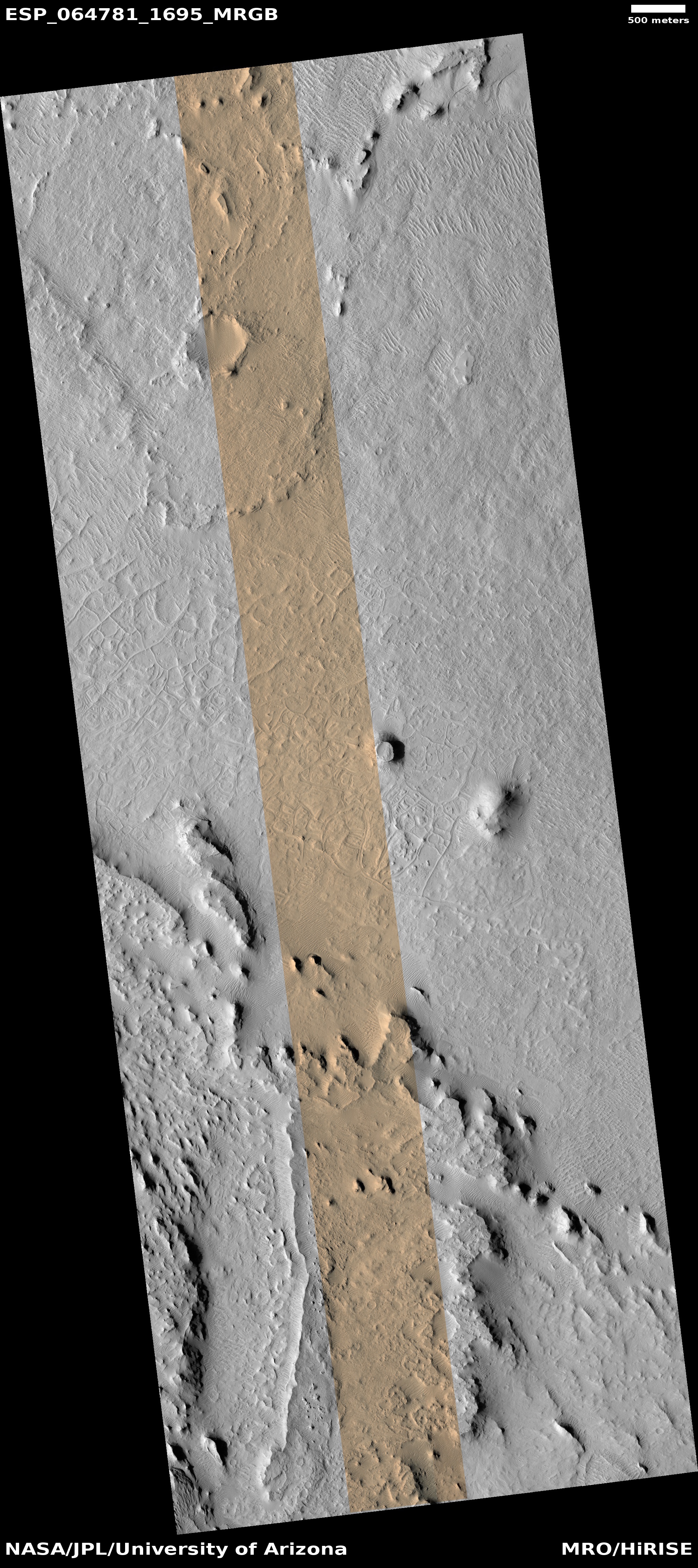
Below is an overview of Protonilus, the red box showing the location of this image. Also highlighted by number are the locations of the three features previously posted and listed above.
» Read more