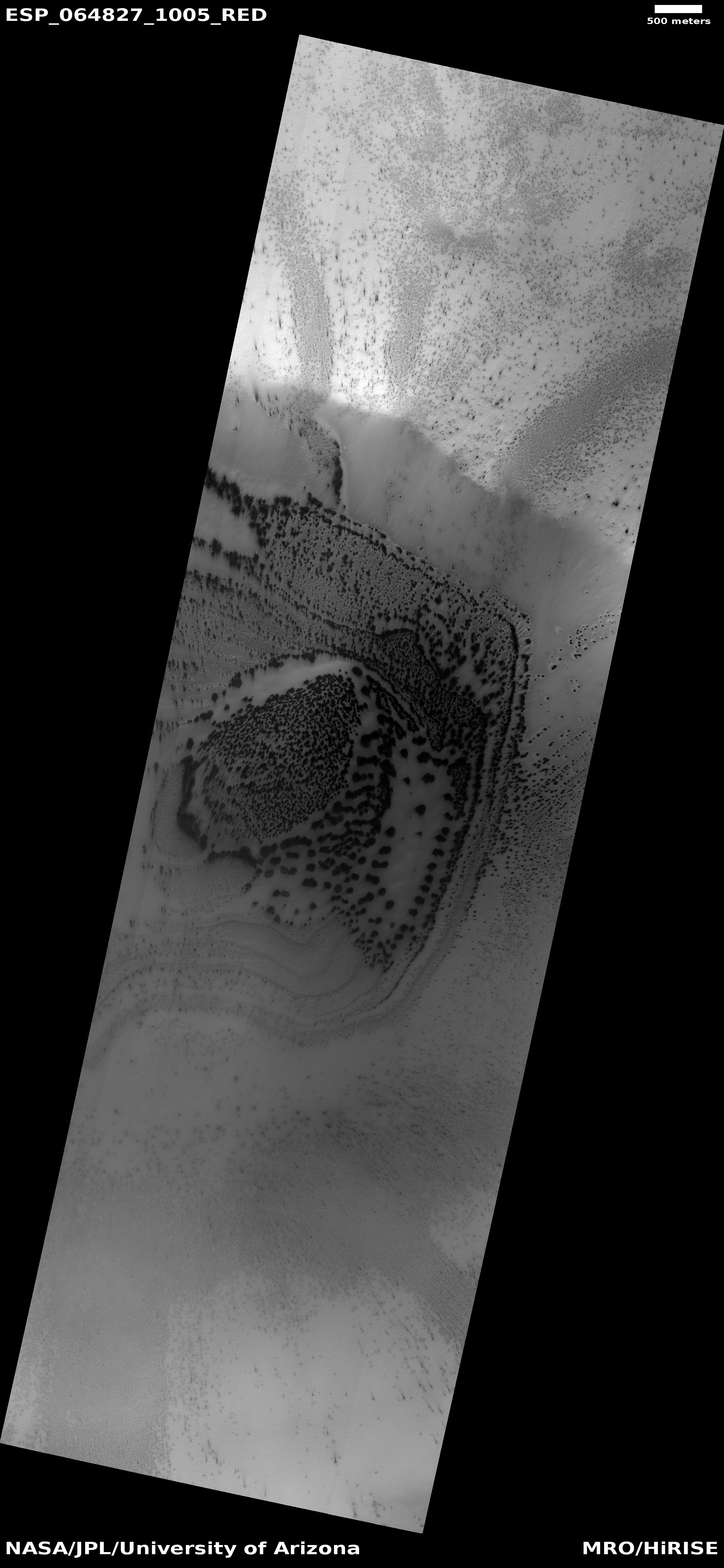
Martian channels formed by water? by ice? by lava?

Click for full image.
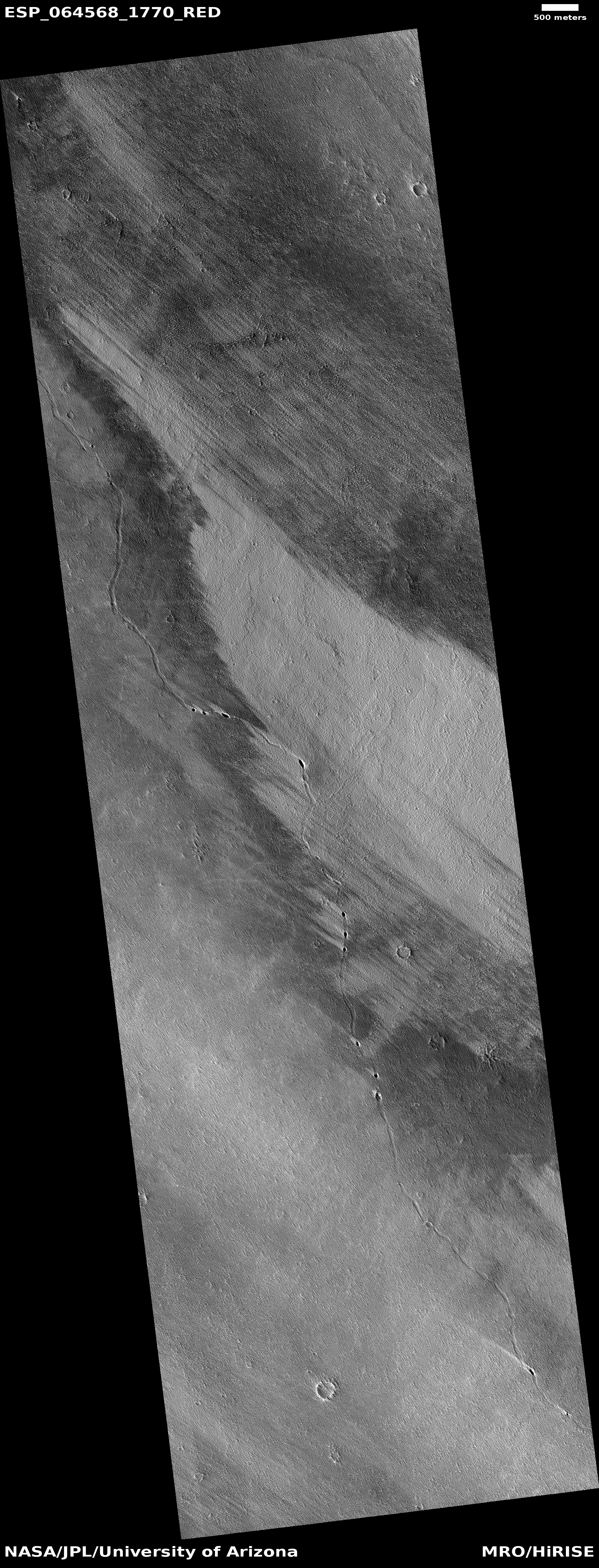
Many of the pictures from Mars show meandering channels, all of which suggest an erosion process related to some form of flow. For most of the last half century, since the first images of these channels were beamed back by Mariner 9 in 1972, scientists had believed that liquid water must have caused them. The accumulating recent photos from Mars now tentatively suggest that these channels might have instead been caused by glacial processes, creeping frozen water instead of liquid.
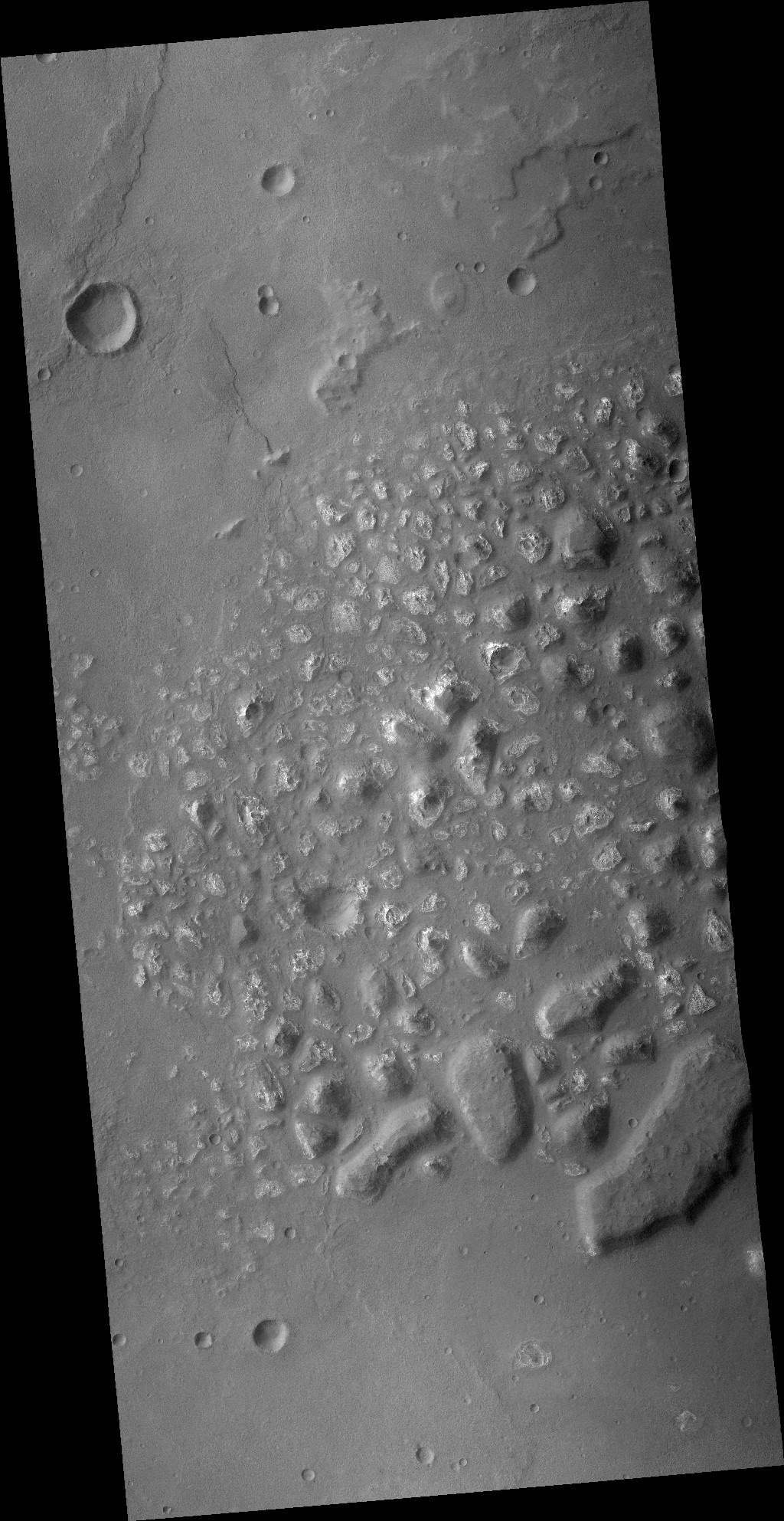
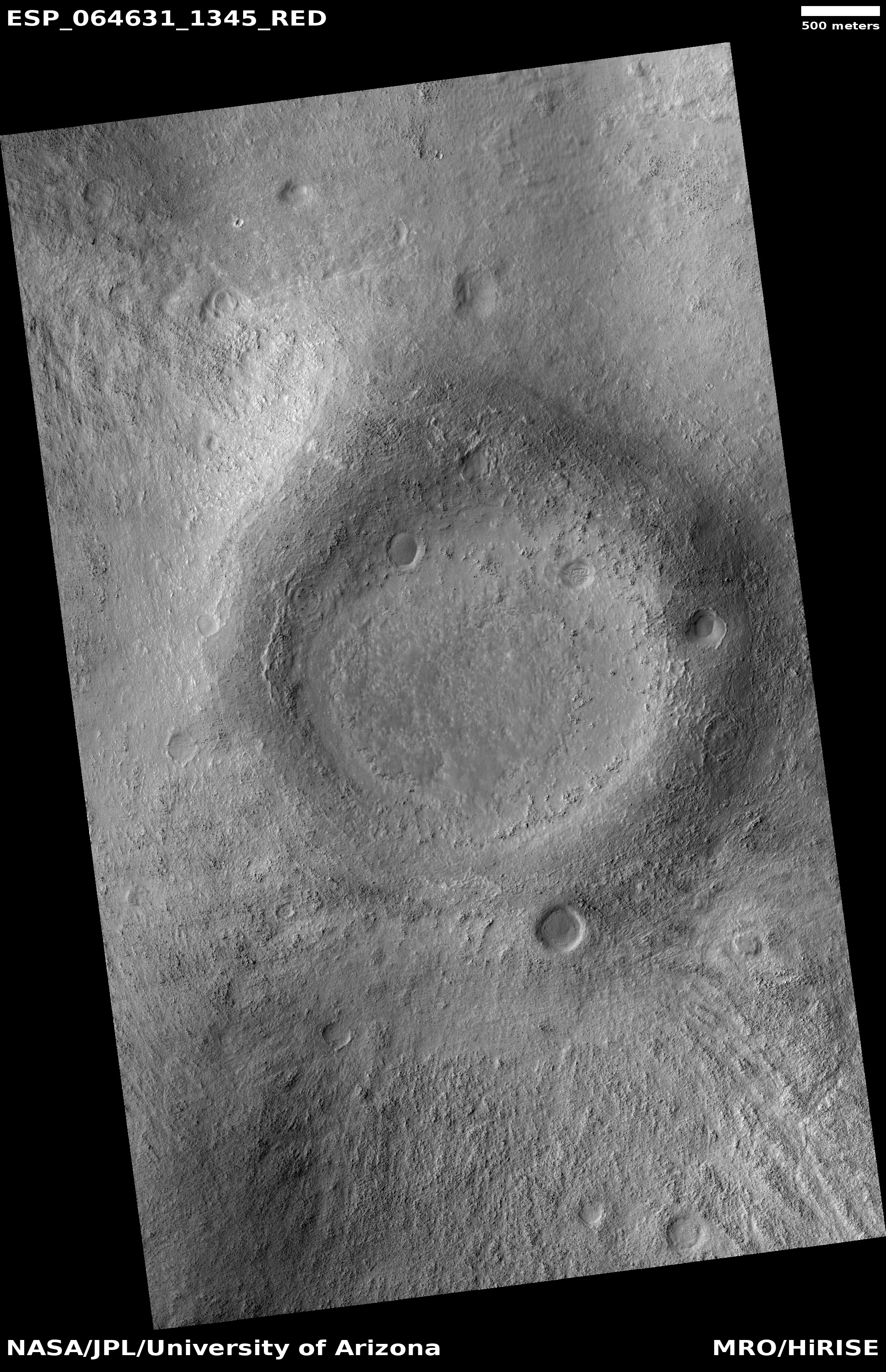
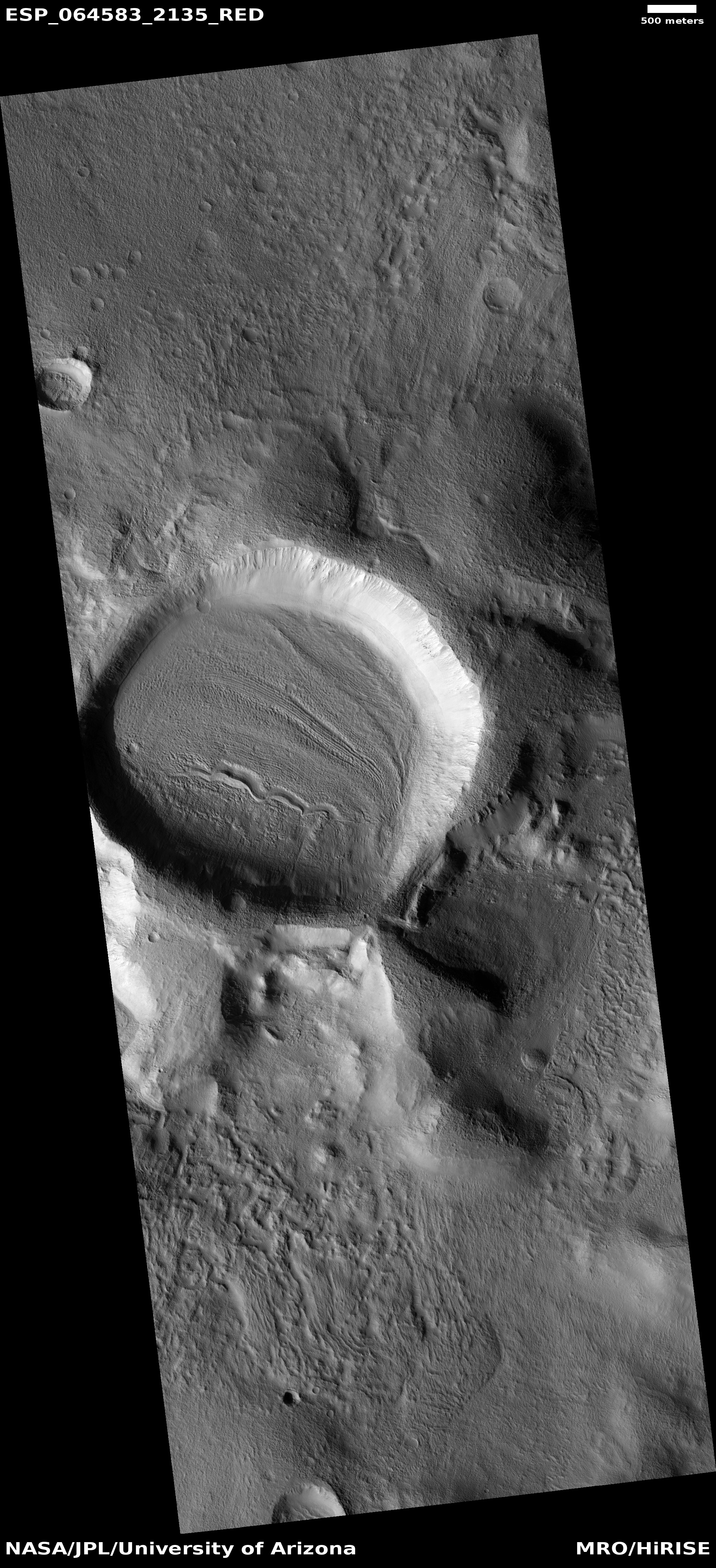
The image to the right, rotated, cropped, and reduced to post here, was taken on July 17, 2020 by the high resolution camera on Mars Reconnaissance Orbiter. The channels suggest some form of flow going downhill to the northwest, but was it caused by water or ice? There is no obvious visual evidence of glaciers in this image, nor is there any such evidence that I can spot in any of the nearby high resolution images of this same region, despite the fact that at 35 degrees north latitude it is in the mid-latitude band where scientists have identified many glacial features.
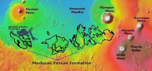
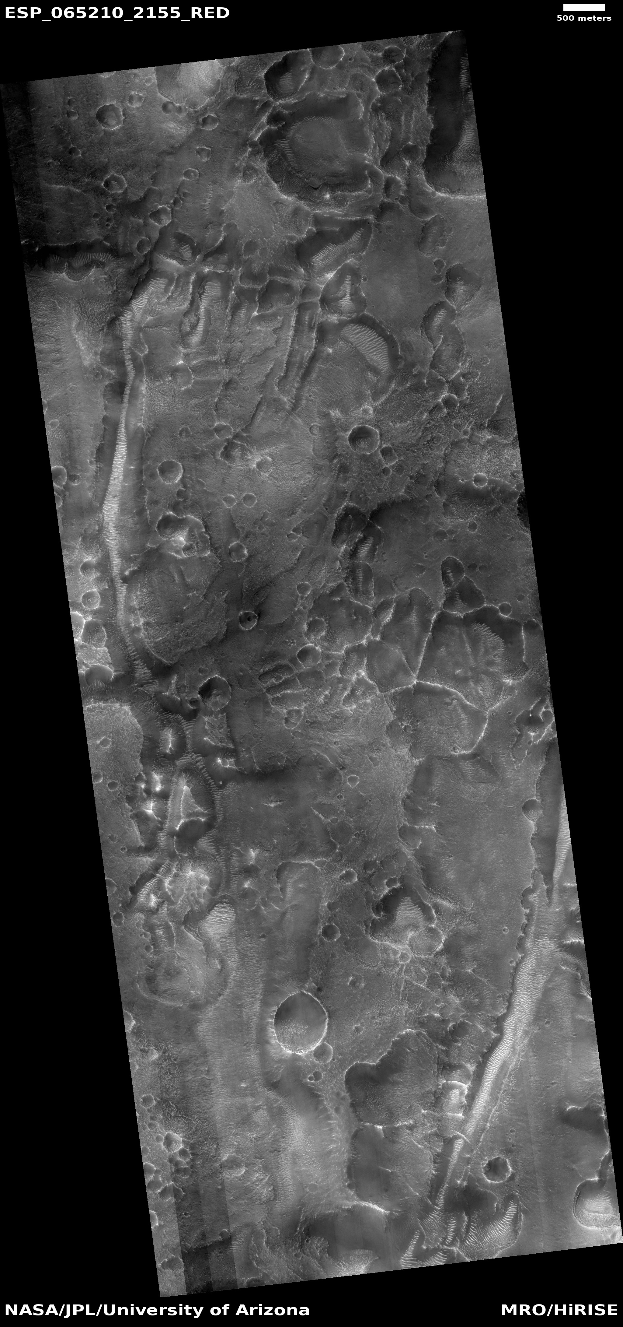
The region itself is called Mareotis Fossae, an area of southwest-to-northeast trending parallel fissures and ridges, as shown in the two overview maps below.
» Read more