Giant iceberg from Antarctica breaking up
As should have been expected, the giant iceberg the size of Delaware that had broken from the Antarctic ice pack in 2017 and was drifting directly towards South Georgia Island (a wildlife preserve), is now breaking up without doing any harm to the island itself.
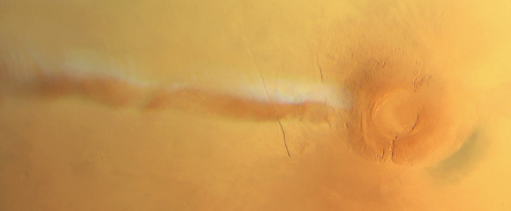
Seawater has been cutting like a knife through A-68A, the enormous Antarctic iceberg drifting in the southern Atlantic Ocean. On January 11, 2021, the Visible Infrared Imaging Radiometer Suite (VIIRS) on the NOAA-20 satellite acquired this image showing the remainder of A-68A, along with two large pieces that broke off in December 2020.
The U.S. National Ice Center (USNIC) reported on January 8 that A-68A measured 74 kilometers long and 44 kilometers wide. That equates to an area about twice the size of Houston—still sizable, but quite a bit smaller than its Delaware-sized status in July 2017 when it calved from the Larsen C Ice Shelf. The pieces that broke from A-68A in December (forming A-68D and A-68E) are smaller, but remain large enough to be tracked by the USNIC.
Every report about this, including today’s, waxes eloquently about the terrible threat the iceberg poses to the wildlife on South Georgia Island should it become grounded there, even though all past data, let me repeat, all past data indicated that it would not hit the island but drift around as it broke up.
And, surprise surprise, that is exactly what it has been doing.