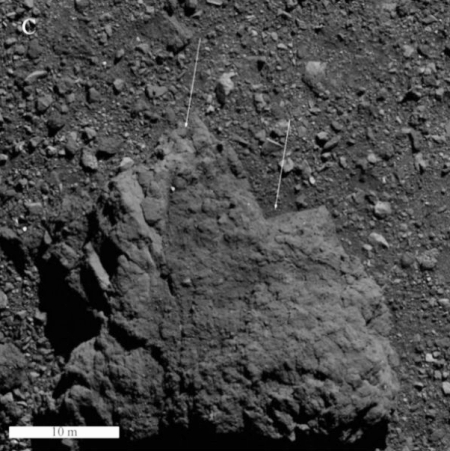
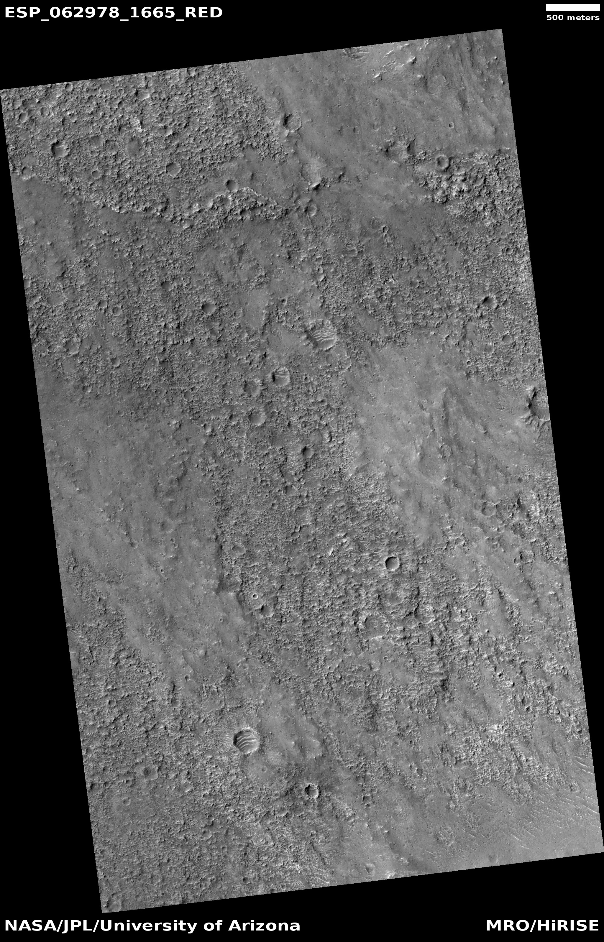
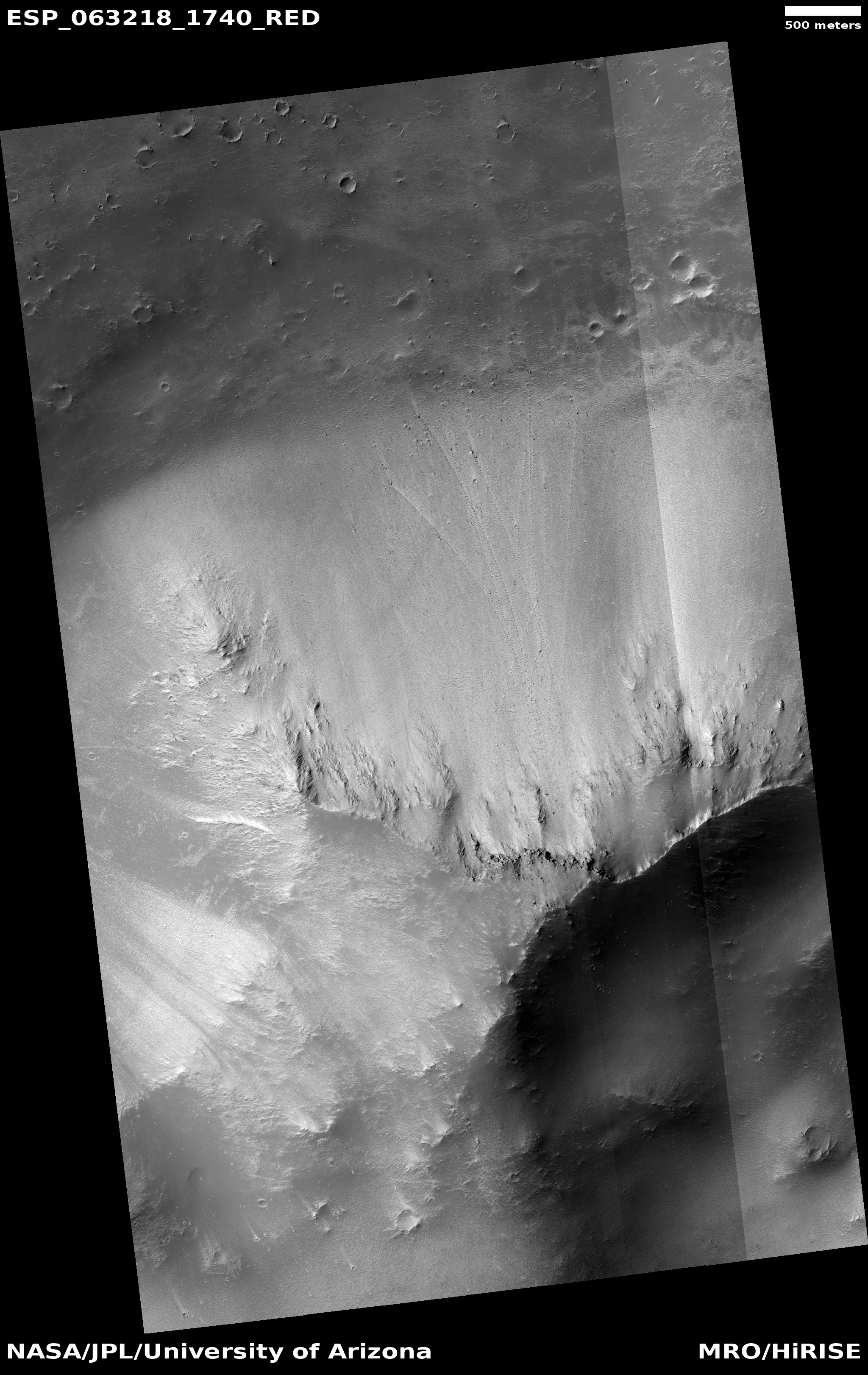
SpaceX wins another NASA launch contract

Capitalism in space: NASA yesterday awarded SpaceX the launch contract, estimated to cost about $80 million, to launch its Plankton, Aerosol, Cloud, ocean Ecosystem (PACE) climate mission.

That cost number seems high for a SpaceX launch, especially because, according to this Space News article, the launch will be using a reused first stage. For such launches SpaceX has generally been charging less than its standard $67 million, usually about $50 million. The press release says the contract covers both the launch and “other mission related services” but I cannot see how those additional services could raise the price almost 40%.

Unless someone at NASA is willing to prove me wrong, I suspect this is merely the case of our vaunted federal government overpaying for a service, simply because it isn’t their money and they are willing to spend extra for no reason other than it makes their job easier. Or possibly they are now playing favorites, and throwing extra money SpaceX’s way to help the company in its other endeavors, a method of funding that is really inappropriate.

12 comments

Frozen lava that flowed from Elysium Mons

Lava flows off of Elysium Mons
Click for full image.

Cool image time! The photo on the right, rotated, cropped, and reduced to post here, was taken by the high resolution camera on Mars Reconnaissance Orbiter (MRO) on October 27, 2019. It shows a dramatic lava flow coming off the flanks of the giant volcano Elysium Mons, a flow that has probably been frozen in place for somewhere between 600 million to 3.4 billion years.

If you look close you can see several craters on top of the lava flow. To my eye these impacts look like they occurred when the lava was still soft, which suggests they were debris thrown up by the volcano. This however would be surprising, as the eruption of Elysium Mons is not thought to have been explosive, but slow and steady. Either way, these crater impacts are one of the ways scientists have been able to estimate the age of this volcano and its long frozen flows.

MRO has taken a scattering of high resolution images in this area, all of which are aimed at similar frozen flows coming off the volcano. All are about 250 miles from the caldera, which gives you a sense of the size and extent of Elysium Mons. While it is the fourth largest volcano on Mars at 7.5 miles high, its grade is so gentle that if you were standing on the surface the peak would be hard to see from any point.

0 comments

New simulations of Pluto’s atmosphere

New simulations of Pluto’s atmosphere, created using data obtained during the 2015 fly-by by New Horizons of Pluto, suggest that the planet’s thin atmosphere, mostly made up of nitrogen, generally blows in a retrograde direction when compared with the planet’s rotation.

Bertrand and his colleagues set out to determine how circulating air – which is 100,000 times thinner than that of Earth’s – might shape features on the surface. The team pulled data from New Horizons’ 2015 flyby to depict Pluto’s topography and its blankets of nitrogen ice. They then simulated the nitrogen cycle with a weather forecast model and assessed how winds blew across the surface.

The group discovered Pluto’s winds above 4 kilometers (2.5 miles) blow to the west — the opposite direction from the dwarf planet’s eastern spin — in a retro-rotation during most of its year. As nitrogen within Tombaugh Regio vaporizes in the north and becomes ice in the south, its movement triggers westward winds, according to the new study.

The press release is very badly written. It tries to make it sound as this work discovered the atmosphere of Pluto, and that this process is more unique in the solar system than it is. It also neglects to mention that we only have good information about one hemisphere of Pluto. The fly-by did not see the planet’s other half, and so any computer model based on New Horizons’ data is by definition guaranteed to be half incomplete, with gigantic uncertainties.

Still, it gives us another example of the unexpected complexity of the geological processes on Pluto, something no one expected for a place so far from the Sun where there is so little energy to drive such processes.

0 comments

How to spot a glacier on Mars

A glacier on Mars
Click for full image.

Overview map

The science team for the high resolution camera on Mars Reconnaissance Orbiter (MRO) today posted a nice lesson on what features to look for when you are trying to find glaciers on Mars.

To do this they used one of the earliest images of a Martian glacier, taken by MRO on June 12, 2008. The image to the right, cropped and reduced to post here, shows that entire glacier, coming off a mesa in the chaos terrain region of Protonilus Mensae, a region of mesas and glaciers that I highlighted in an earlier post in December, showing images of a mesa that had numerous glaciers flowing down from all sides.

The overview map to the right shows the location of both that earlier glacier-surrounded mesa (the red dot in Protonilus Mensae) and today’s image (the blue dot).

What the MRO science team has done with the image today however is to use it to illustrate the most important geological features that one will see when looking at a Martian glacier.
» Read more

0 comments

Mock and Real Mars habitats on Earth

On January 31, 2020 the Mars Society issued a press release touting its newest mock Mars habitat mission to its Mars research station in the high desert of Utah.

During this mission, one crew is operating at MDRS, while a second crew works out of the MAU habitat, which consists of a series of interlocking geometric tents that house crew quarters and a research area. The crew is made up of medical professionals who are testing how two teams on the same planet would collaborate on emergency medical procedures.

Located in southern Utah, MDRS serves as a home base for crews participating in Mars surface simulation testing and training. Depending on the individual crew’s specialization, its scientific focus ranges from geology to engineering, communications to human factors, robotics to microbiology. A wide variety of scientific and engineering research and educational outreach are typically conducted by crews at MDRS.

The newly-arrived MAU participants (designated as Crew 220) have set up their temporary second habitat close to MDRS, with part of the crew staying at the MDRS facility, while an additional crew is housed in the MAU-developed habitat out of sight of the main station. Halfway through the mission, the crews will rotate stations, thereby allowing each team an opportunity to experience both operational habitats.

While this simulated mission will certainly learn a few things about long term isolation by small crews, it does not appear to me to be a very real simulation of living on Mars. While the MDRS facility is quite sophisticated, it isn’t an entirely closed system. Moreover, the environment here, even in winter, does not come close to simulating the Martian environment. It is too warm and it has is a full atmosphere. And it certainly is not isolated. If someone gets seriously ill, or the facility experiences an irreversible failure, immediate evacuation is always an option.

Still, the Mars Society has been using this facility for simulating Mars missions since 2001, and has completed eighteen field seasons involving more than 1,200 participants. I am sure they have accumulated a great deal of useful data that can be applied on future Mars missions.

However, the U.S. has been running a much more realistic Mars simulation habitat since just after the end of World War II, and it appears that few realize it.
» Read more

11 comments

The moral and intellectual decline of American academic research

Link here. This well documented essay outlines how federal government funding has poisoned American academic research, and if we do nothing to fix it, will only be another precursor of a coming dark age.

My experiences at four research universities and as a National Institutes of Health (NIH) research fellow taught me that the relentless pursuit of taxpayer funding has eliminated curiosity, basic competence, and scientific integrity in many fields.

Yet, more importantly, training in “science” is now tantamount to grant-writing and learning how to obtain funding. Organized skepticism, critical thinking, and methodological rigor, if present at all, are afterthoughts. Thus, our nation’s institutions no longer perform their role as Eisenhower’s fountainhead of free ideas and discovery. Instead, American universities often produce corrupt, incompetent, or scientifically meaningless research that endangers the public, confounds public policy, and diminishes our nation’s preparedness to meet future challenges.

The essay focuses on how the lure of tax dollars has warped and corrupted medical research, but anyone with any knowledge of almost all other fields of science that now depend on federal funding will recognize the same problems.

Many of the stories the author documents include major universities (Duke, Cornell, Harvard) that not only have been producing lots of studies have required retraction or included documented fraud, but have also not done anything to punish those involved.

Overall, this study, along with the many examples of totalitarian attempts to silence dissent on American campuses, proves that these institutions no longer any public funding. At a minimum, high school students should consider other colleges. At best, they should be shut down.

Hat tip reader John Jossy.

8 comments

A Martian avalanche: before and after

A Martian avalanche: before and after
Click for full resolution animation.

Cool image time! The science team for the high resolution camera of Mars Reconnaissance Orbiter (MRO) today released a beautiful blink animation showing the before and after terrain at an avalanche site along the scarp of Mars’s north pole ice cap.

The animation is very cool, but it is also helpful to align the two images next to each other to carefully study what actually changed. The image to the right, cropped and reduced here, shows both photos. (Thank you to planetary scientist Shane Byrne for splitting the animation for me.). I have added the white bars to indicate the cliff section that broke off during the avalanche. That section was made of water ice, with probably some dust and rocks mixed in, and broke into the blocks that are now scattered on the ground below.

This avalanche itself is actually not unusual and as I noted in an earlier post, is part of an annual season of numerous avalanches that occur on this northern scarp of the polar ice cap each spring. As written by Dr. Candice Hansen of the Planetary Science Institute in Tucson, Arizona,

Every spring the sun shines on the side of the stack of layers at the North Pole of Mars known as the north polar layered deposits. The warmth destabilizes the ice and blocks break loose. When they reach the bottom of the more than 500 meter tall cliff face [about 1,600 feet], the blocks kick up a cloud of dust.

And as Byrne noted to me in an interview when I asked him how it was possible for MRO to image so many avalanches, as they occur,

“It is incredible. I think this is the most incredible thing about the whole process.” said Byrne. “If you fly over a mountain range on the Earth and take a picture, the chances catching an avalanche in progress are almost zero. But on Mars half of the images we take in the right season contain an avalanche. There’s one image that has four avalanches going off simultaneously at different parts of the scarp. There must be hundreds to thousands of these events each day.”

In an email exchange with him today, he also added that this is not the first before and after comparison images obtained. “We’ve been seeing these blockfalls for several years now. That’s partly why these scarps are being so intensively monitored by HiRISE.”

Do these avalanches mean that the Martian northern polar ice cap is shrinking? Maybe, maybe not. Right now scientists think the cap is in a steady state, neither growing or shrinking. These events are thus more likely comparable to the routine calving of ice sections from the foots of glaciers here on Earth, a common tourist destination in the waters of western Alaskan coast.

9 comments

Strange parallel grooves in Martian crater floor

Parallell ridges and ruts in Martian crater floor
Click for full image.

Full crater view
Click for full image.

Cool image time! The image above, cropped to post here, was taken on December 2, 2019 by the high resolution camera of Mars Reconnaissance Orbiter (MRO) of a crater in the northern lowlands of Mars. It focuses in on the strange lineated ruts and ridges found on the crater’s central floor, as indicated by the black box on the wide shot to the right.

The north-south alignment of these groves suggests to me that they are wind caused, as if dust and sand had ponded in the crater’s lowest point and was then shaped by the prevalent winds. They also appear solid and old, as if this shaping occurred a long time ago and they are now decaying with time.

This location is at the same latitude as the plains around Erebus Montes, the prime candidate landing site for SpaceX’s Starship, and a region where a lot of shallow subsurface ice has been detected. It lies due west of that region, separated by the north-south Phlegra Montes mountain chain. At this latitude, 36 degrees north, scientists have found ample evidence of water ice, though some regions have more than others. This crater sits on the edge of this particular rich area, which might explain why the crater looks more solid and dry than others at similar latitudes. There simply might be less ice here, or the ice lies deeper below the surface.

I am off with Diane on a hike this morning, so this cool image fills in for my normal morning news posting. I should catch up this afternoon.

0 comments

Update on coronavirus spread

Link here. As expected, the situation in China continues to be serious and somewhat out of control. The key data point however is this:

The number of confirmed infections across China has risen to 7,711, resulting in 170 deaths. By comparison, there were 5,327 cases of severe acute respiratory syndrome (SARS) in China during the 2002-2003 outbreak, although that virus was more deadly, claiming 349 lives.

In about a week the number of those infected has grown exponentially, far far faster than the previous SARS epidemic. In one week it just about passed SARS, which took a year to accumulate the same numbers.

At the same time, coronavirus still appears relatively mild, having produced half the deaths, about 2% of all those infected. This number however can easily rise, as the disease is still in its early stages for the majority of those infected.

So far the detected cases outside of China remain small, but they are also on the rise, including the first detected human-to-human transmission entirely within the U.S.

Once again, it is essential that no one panic over this virus. Its potential danger should also not be poo-pooed. Until we know more, it poses a threat that must be faced.

7 comments

A new Juno flyover movie above Jupiter

Citizen scientist Brian Swift has created a new movie from images taken by Juno during its December 25th close pass of Jupiter, the 24th such flyby of the spacecraft’s mission.

I have embedded the movie below. While it isn’t as spectacular as previous movies (see here, here, here, and especially here and here), as it appears that either Juno did not get quite as close, or Swift did not shape it to give that impression, it is still most breathtaking.

0 comments

Parker completes fourth solar flyby; sets new record

The Parker Solar Probe yesterday completed its fourth orbital close fly-by of the Sun, setting a new speed record.

The spacecraft traveled 11.6 million miles from the Sun’s surface at perihelion, reaching a speed of 244,225 miles per hour. These achievements topple Parker Solar Probe’s own previous records for closest spacecraft to the Sun — previously about 15 million miles from the Sun’s surface — and fastest human-made object, before roughly 213,200 miles per hour.

Parker will continue to break these records with each orbit.

0 comments

First images from Inouye Solar Telescope

Close-up of the Sun by Inouye Telescope

Scientists have released the first images of the Sun taken by the new Daniel K. Inouye Solar Telescope on the island of Maui in Hawaii.

The image to the right, cropped to post here, is today’s released image, a close-up of the Sun’s surface granular structure, with each cell about the size of Texas.

Right now most of the telescope’s instruments are not yet on line. It is expected the telescope will become fully operational in July.

0 comments

Voyager 2 in safe mode

After forty years of operation and successfully leaving the solar system, Voyager 2 has experienced a technical issue that caused it to go into safe mode.

According to NASA, Voyager 2 failed to perform a scheduled maneuver on Saturday January 25. The craft was due to rotate a full 360 degrees to calibrate its magnetic field instrument, but for some reason the action was delayed. That in turn meant that two particularly power-hungry systems were left running at the same time, which overdrew the available power supply.

…As of January 28, the team managed to turn off one of those high-power systems, allowing some scientific instruments to be switched back on. Engineers are currently analyzing data to figure out the status of the rest of the systems, to work out how to turn off the second one and return the craft to normal operations.

6 comments

Inexplicable ridges on Mars

Inexplicable ridges on Mars
Click for full image.

Don’t ask me to explain the geology on today’s cool image, rotated, cropped and reduced above. Taken by the high resolution camera on Mars Reconnaissance Orbiter (MRO) on August 16, 2019, the image’s uncaptioned website merely calls these “Convergent and Overlapping Narrow Curved Ridges.”

I don’t know why the sand in the hollows appears light blue, or even if it is sand. I don’t know what created the ridges, or why they seem to overlap each other randomly, or why they seem to peter out to the south.

I am sure there are planetary scientists out there who have theories that might explain these features. I also know that they would forgive me if I remained skeptical of those theories. This geology is a puzzle.

Hellas Basin, the basement of Mars

The location of these ridges is in the southeast corner of Hellas Basin, which I like to call the basement of Mars as it is the equivalent of the United States’ Death Valley, having the lowest relative elevation on the planet. As I have noted previously, the geology in this basin can be very strange. To my eye it often invokes a feeling that we are looking at Mars’s “uttermost foundation of stone” (to quote Tolkien), frozen lava that flowed in many ways and then froze in strange patterns.

Or not. Your guess is as good as mine.

3 comments

Two abandoned satellites might collide

According to a company that monitors objects in low Earth orbit, two abandoned satellites might actually collide on January 29..

The two satellites, NASA’s IRAS space telescope and the experimental U.S. Naval Research Lab satellite GGSE-4, will swing past each other at 6:39 p.m. EST at an altitude of about 559 miles in the skies above Pittsburgh, Pennsylvania. They’ll be hurtling along their orbit at a relative velocity of about 32,880 miles per hour and could swing within 50 feet of each other.

LeoLabs noted that, at the time of the tweet, the odds of a collision were about 1 in 100 and said the relatively large size of the two spacecraft increased the risk of a collision.

IRAS was the first infrared space telescope ever launched, and operated for ten months after its launch in 1983. The other spacecraft was a National Security Agency test satellite of surveillance technology.

3 comments

More evidence of ample shallow ice in Martian mid-latitudes

In a new paper released this week, scientists using instruments on both Mars Odyssey and Mars Reconnaissance Orbiter have found more evidence that there is a large amount of widespread ice close to the surface in the Martian mid-latitudes. As the scientists note in their abstract:

We show that water ice is present sometimes just a few centimeters below the surface, at locations where future landing is realistic, under mobile material that could easily be moved around. This ice could be exploited on‐site for drinking water, breathable oxygen, etc., at a much lower cost than if brought from Earth.

They deduced this by looking at how that ice would change the seasonal temperatures in the atmosphere directly above. Cooler regions suggested more ice close to the surface, while warmer regions suggested either no ice or ice deep below the surface. While this approach is indirect and did not directly detect ice, their conclusions match perfectly with all previous research. Below is a global map of Mars taken from the paper’s the supplementary material [docx file], reduced and annotated by me, showing the regions that seem to have ample shallow ice. Regular readers of Behind the Black will instantly recognize these locations.
» Read more

0 comments

The beginning of chaos on Mars

The beginning of a chaos canyon
Click for full image.

Cool image time! The photo on the right, rotated, cropped, and reduced to post here, was taken by the high resolution camera of Mars Reconnaissance Orbiter (MRO) on October 7, 2019. In one image it encapsulates the process that forms one of the more intriguing and major Martian geological features, dubbed chaos terrain.

Chaos terrain is typically a collection of mesas separated by straight-lined canyons. It is found in many places on Mars, most often in the transition zone between the southern highlands and the northern lowlands where an intermittent ocean might once have existed. It is believed to form by erosion, possibly caused by either flowing water or ice, moving along fault lines. As the erosion widened the faults, they turned into canyons separating closely packed mesas. With time, the canyons widened and the mesas turned into a collection of hills.

This image shows the beginning of this process. It is centered on a fault line running from south to north. In the south all we can see is the fault expressing itself as a very shallow small depression in the plains. As we move north the depression widens and deepens. The material inside the depression near the top of the photo could very well be a buried inactive ice glacier. Several million years ago, when the inclination of Mars was much higher and the mid-latitudes were much colder than the poles, the water ice at the poles was sublimating from the poles to those mid-latitudes where it fell as snow. At that time this glacier was likely active, helping to grind out this canyon.

The image was taken at the south border of a chaos region dubbed Nilosytis Mensae, as shown by the overview maps below.
» Read more

1 comment
1 174 175 176 177 178 438