Scientists: No obvious ice in the permanently-shadowed interior of Shackleton Crater

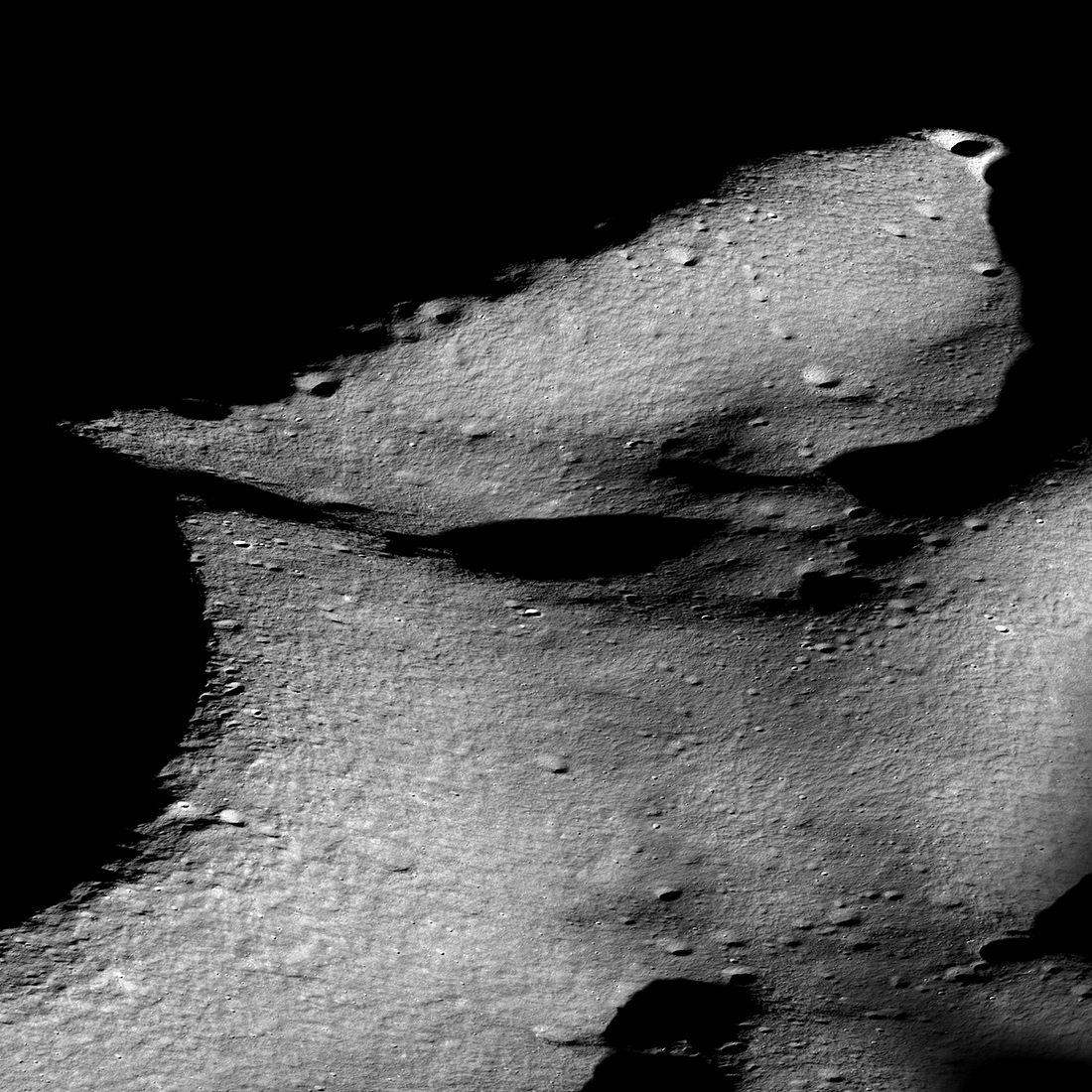
Click for original image.
Using the low-light image produced by the American Shadowcam instrument on South Korea’s lunar orbiter Danuri, scientists now belief that there are no thick obvious deposits of water ice in in the permanently-shadowed interior of Shackleton Crater at the Moon’s south pole.
The image to the right combines pictures taken by Lunar Reconnaissance Orbiter (LRO) of the region around Shackleton with pictures produced by Shadowcam of its permanently-shadowed interior. From their paper’s conclusion:
The trailing (right) side of Shackleton’s interior is warmer owing to the secondary illumination asymmetry and floor topography. Illumination at the floor of Shackleton is patchy and possibly indicates a similar patchy (50 m scale) temperature distribution, which could mean a spatially irregular concentration of cold-trapped volatiles at the subsurface or mixed with regolith.
According to our Shackleton crater interior mapping from ShadowCam images, there is no observed evidence of thick ice deposits or surface ice that could be easily recognized by any relative brightness features observed in multiple illumination geometries. However, this analysis did not include the estimation of reflectance, nor did it involve reviewing all of the images of Shackleton in this preliminary study. Our hypothesis, in the context of water frost detections in Shackleton, is that if ice or frost is present in Shackleton’s interior, then the concentrations are either below the threshold that results in an observable signature in ShadowCam images, or might be mixed with the regolith at the detected areas. At other places where surface temperatures are below 110K, water frost could be hidden in subsurface layers.
The paper’s main purpose was to identify the dim lighting sources within the crater, all of which come from light bouncing off other surfaces. In the process the scientists obtained a better understanding of the surface itself.
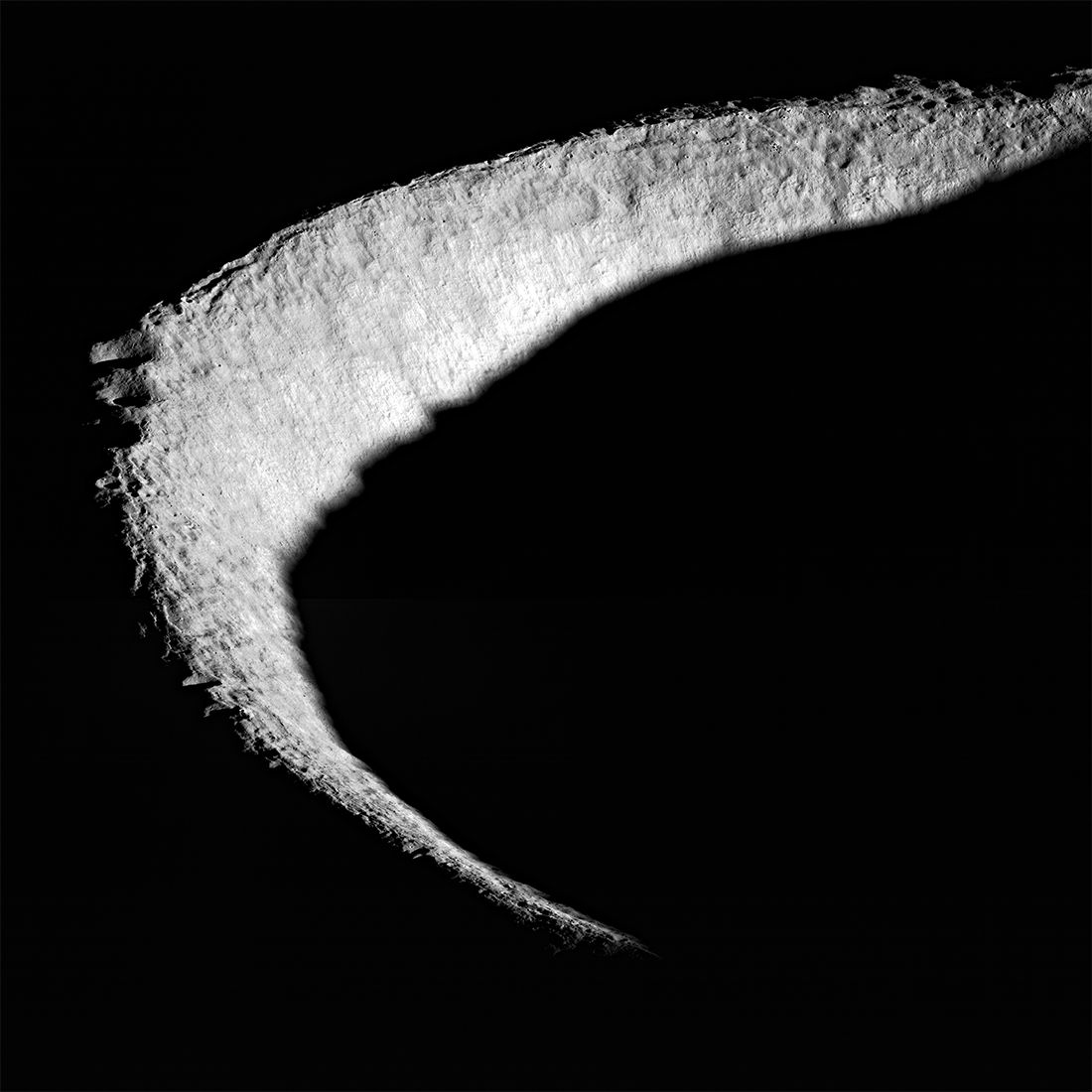