
A Martian gully formed by disappearing glacial ice?

Click for original image.
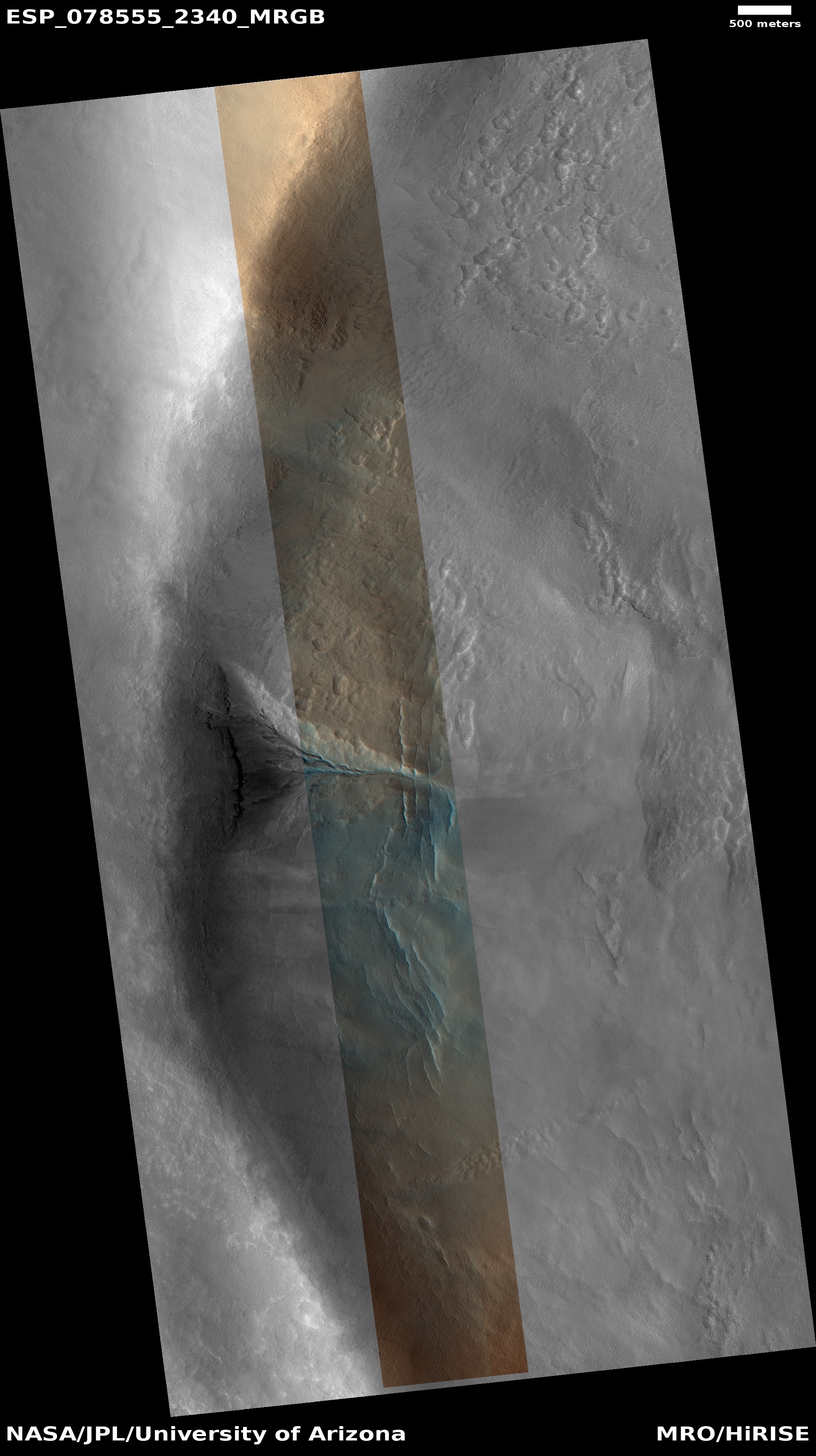
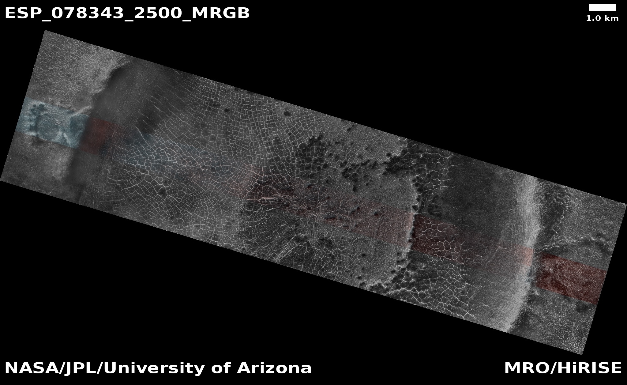
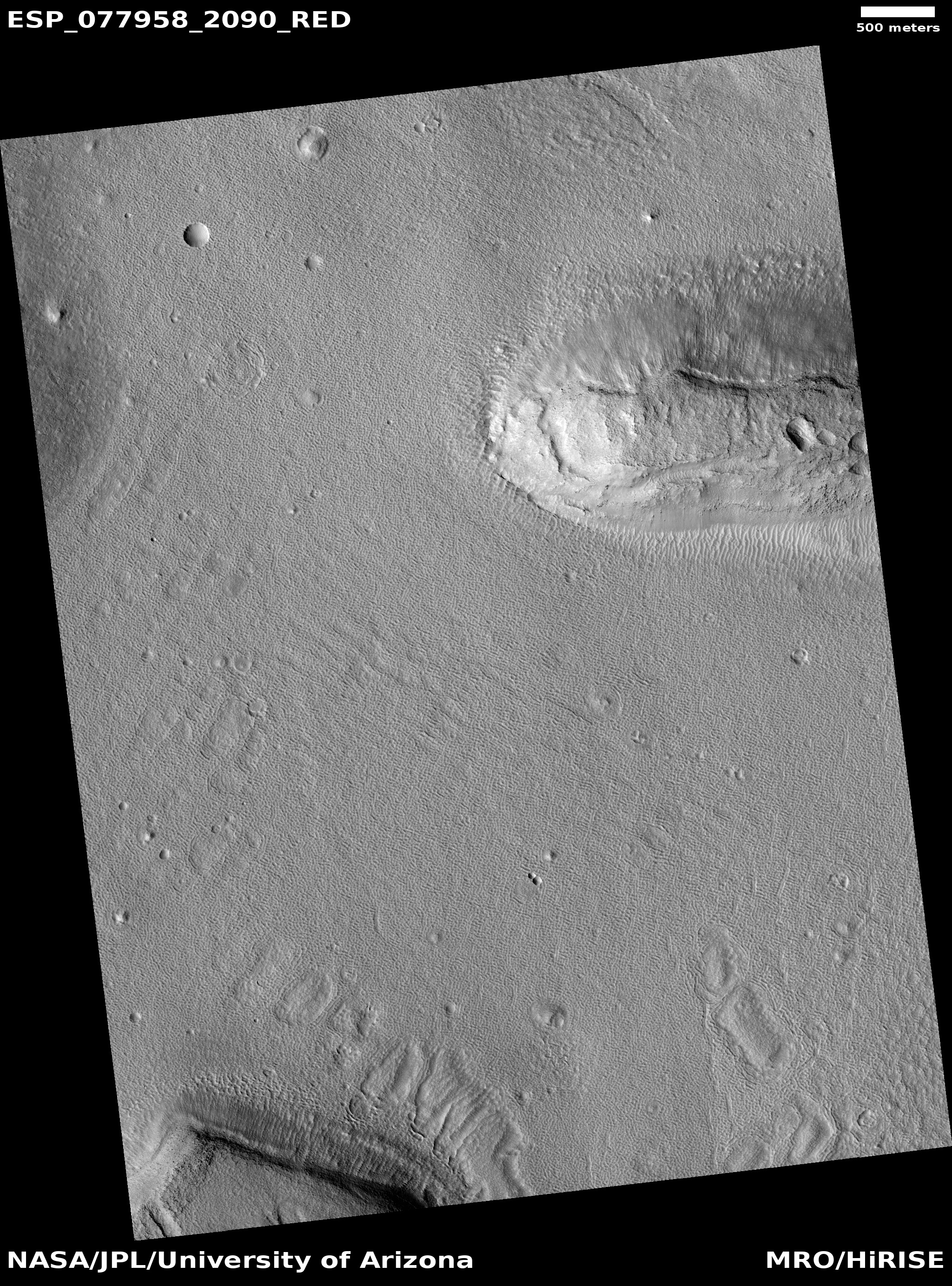
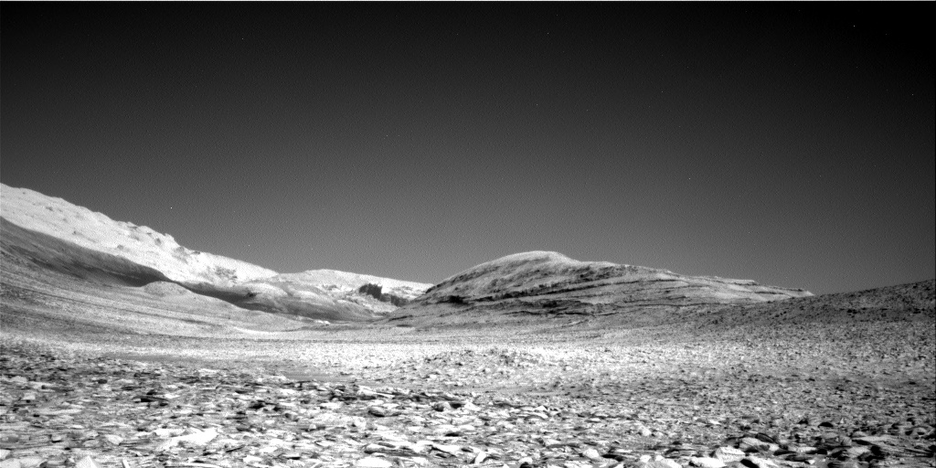
Cool image time! The picture to the right, cropped and reduced to post here, was taken on April 30, 2023 by the high resolution camera on Mars Reconnaissance Orbiter (MRO). It shows the rim of a seventeen-mile wide crater, and was the scientists label a “gully without apron,” meaning that though something has caused material to disappear within that gully, beginning high on the rim wall, there does not appear to be any piled up apron or debris at the gully’s base.
The blue colors imply the possibility of frost within the gully, while the orange suggests dust or coarse surface material.
The cracks emanating away at right angles from the gully’s base suggest glacial ice, which makes sense based on the location.
» Read more
Click for original image.
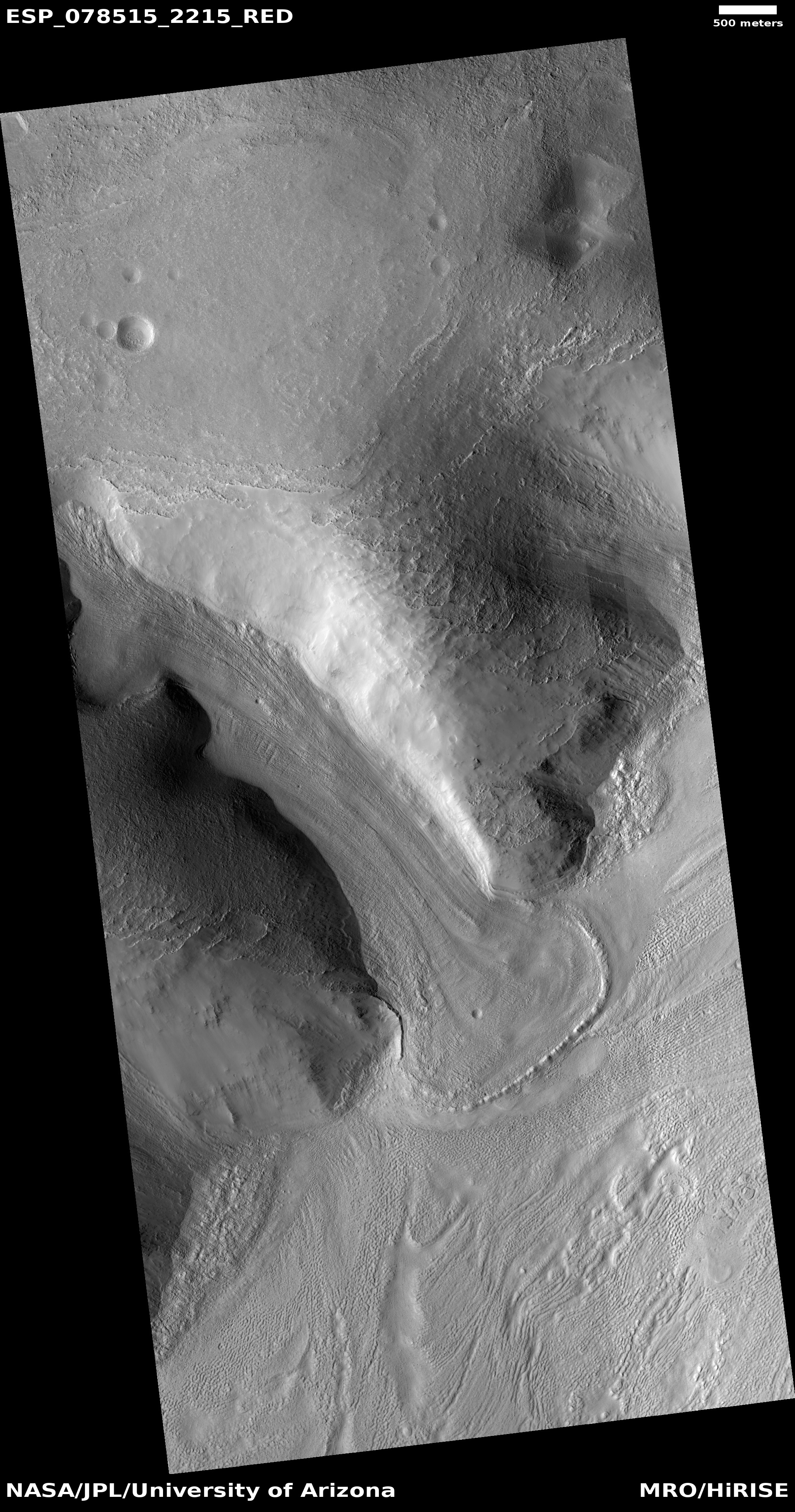
Cool image time! The picture to the right, cropped and reduced to post here, was taken on April 30, 2023 by the high resolution camera on Mars Reconnaissance Orbiter (MRO). It shows the rim of a seventeen-mile wide crater, and was the scientists label a “gully without apron,” meaning that though something has caused material to disappear within that gully, beginning high on the rim wall, there does not appear to be any piled up apron or debris at the gully’s base.
The blue colors imply the possibility of frost within the gully, while the orange suggests dust or coarse surface material.
The cracks emanating away at right angles from the gully’s base suggest glacial ice, which makes sense based on the location.
» Read more


