
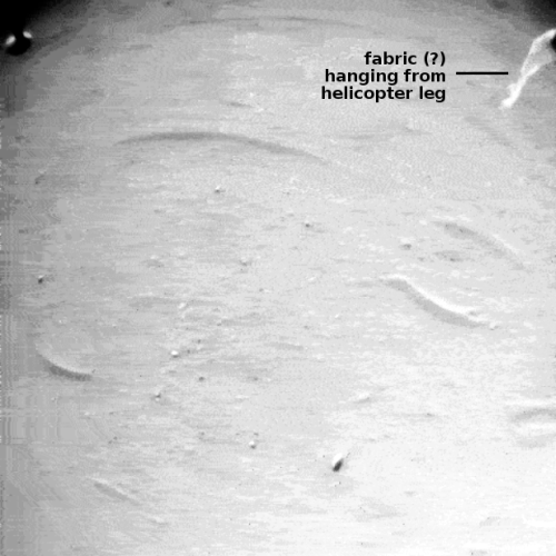
Perseverance snaps picture of its scout Ingenuity
Click for original image.
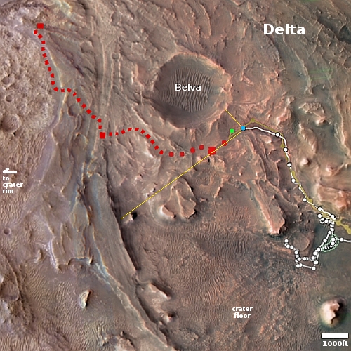
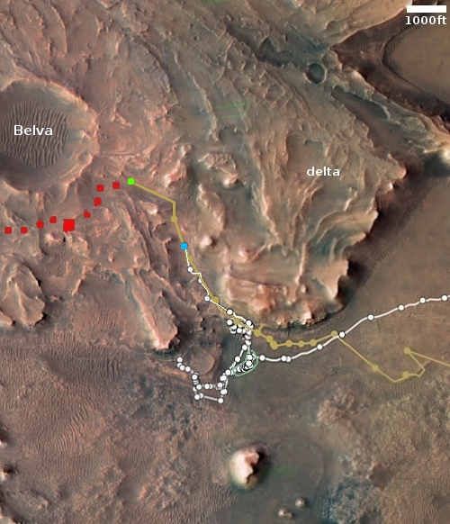
Click for interactive map.
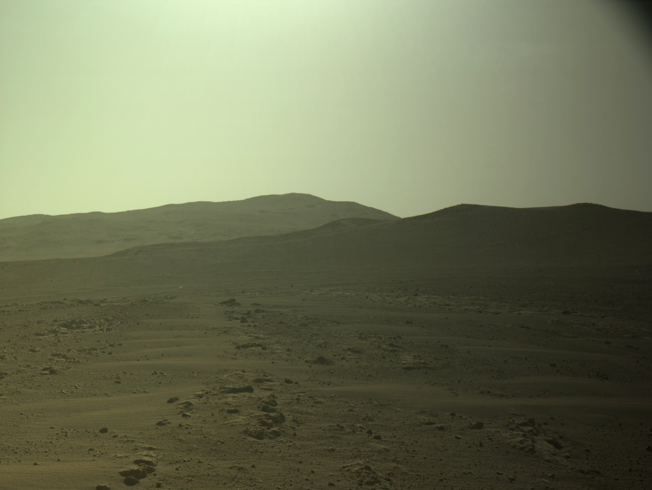
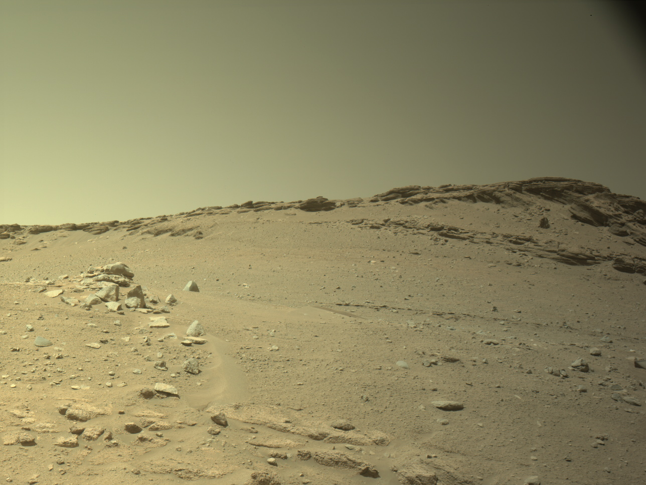
The panorama above, cropped, enhanced, and annotated to post here, was taken by left navigation camera on the Mars rover Perseverance on February 27, 2023, looking ahead at its future path on the delta that flowed into Jezero Crater sometime into the past. The arrow points at Ingenuity, now sitting ahead of the rover after completing its 46th flight sometime this weekend.
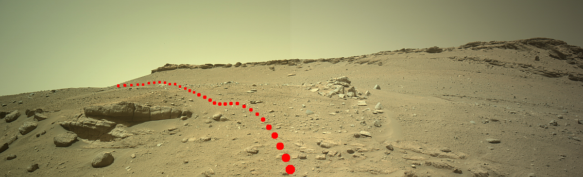
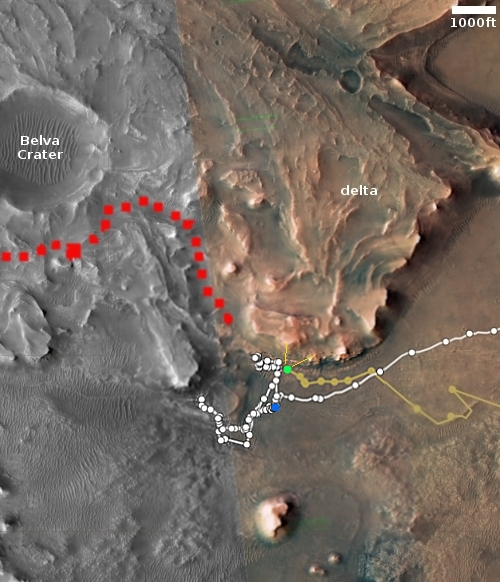
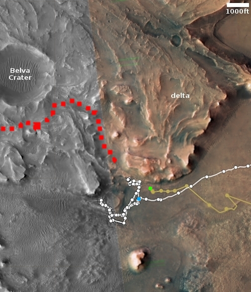
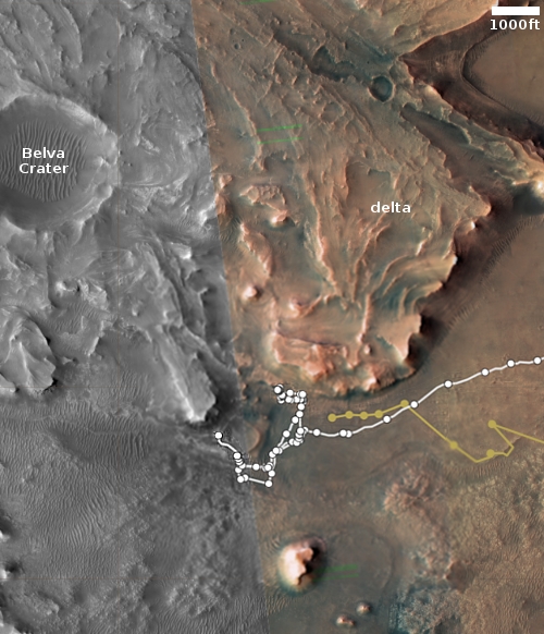
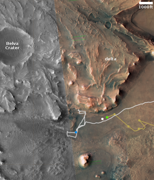
On the overview map to the right, Perservance’s present location is indicated by the blue dot. The green dot marks Ingenuity’s position, and the yellow lines indicate the approximate area viewed by the panorama above. The red dotted line indicates Perseverance planned future route, though it is likely the science team will make many side trips along the way. The bigger dots are points of special interest, where the scientists hope to drill for core samples.
The ridge on the right is the rim of Belva Crater. The higher mountain behind it is likely the rim of Jezero Crater itself, about four miles away. The helicopter sits about 250 feet away.
Unlike the rocky terrain where Curiosity is presently traveling in the foothills of Mount Sharp in Gale Crater, the terrain here in Jezero Crater appears much more benign, almost like a sand desert of dunes. This is not sand, nor are the hills dunes, but wind erosion and dust appear to have smoothed and hidden the geology more than in Gale Crater.


