
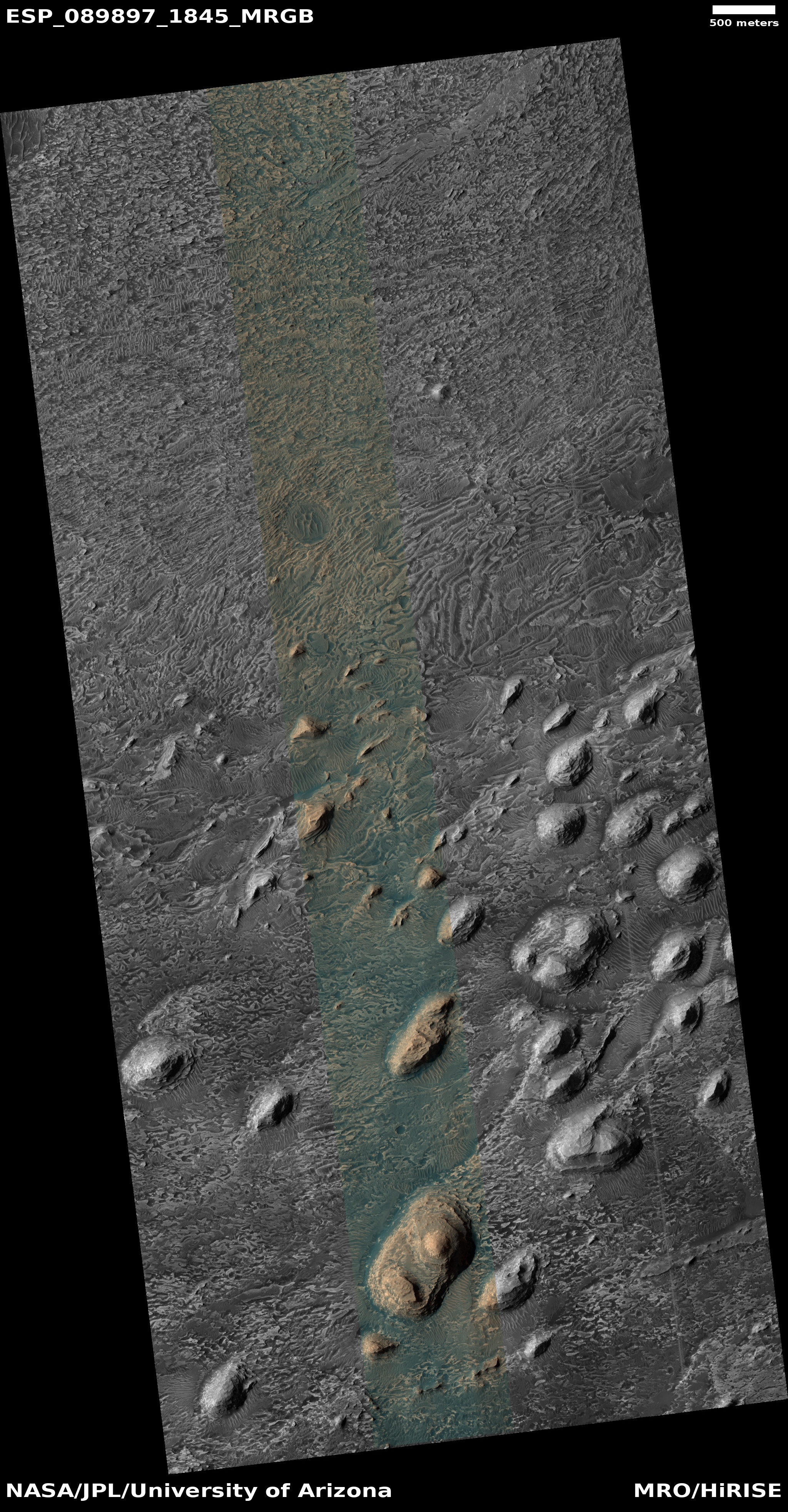
Layers in the biggest canyon in the solar system


Click for original image.
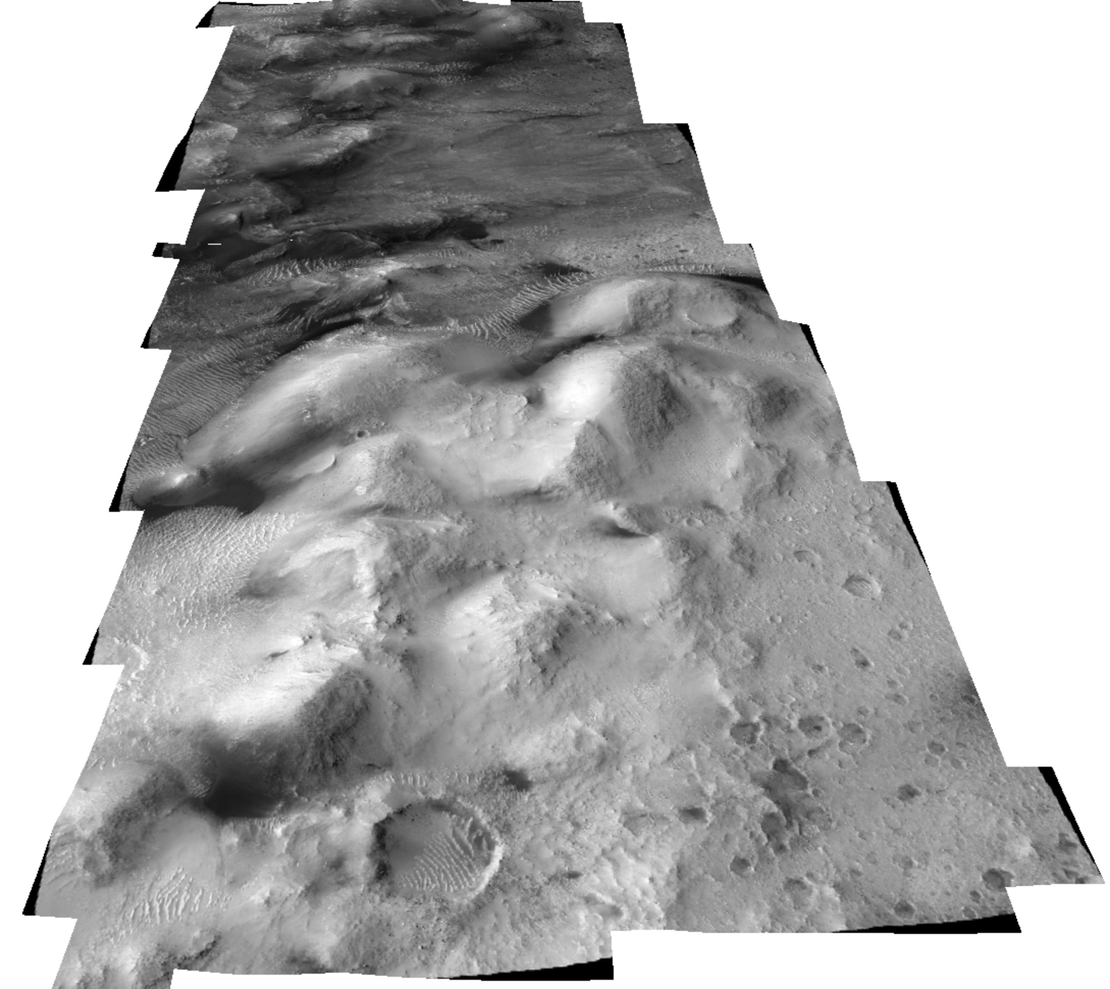
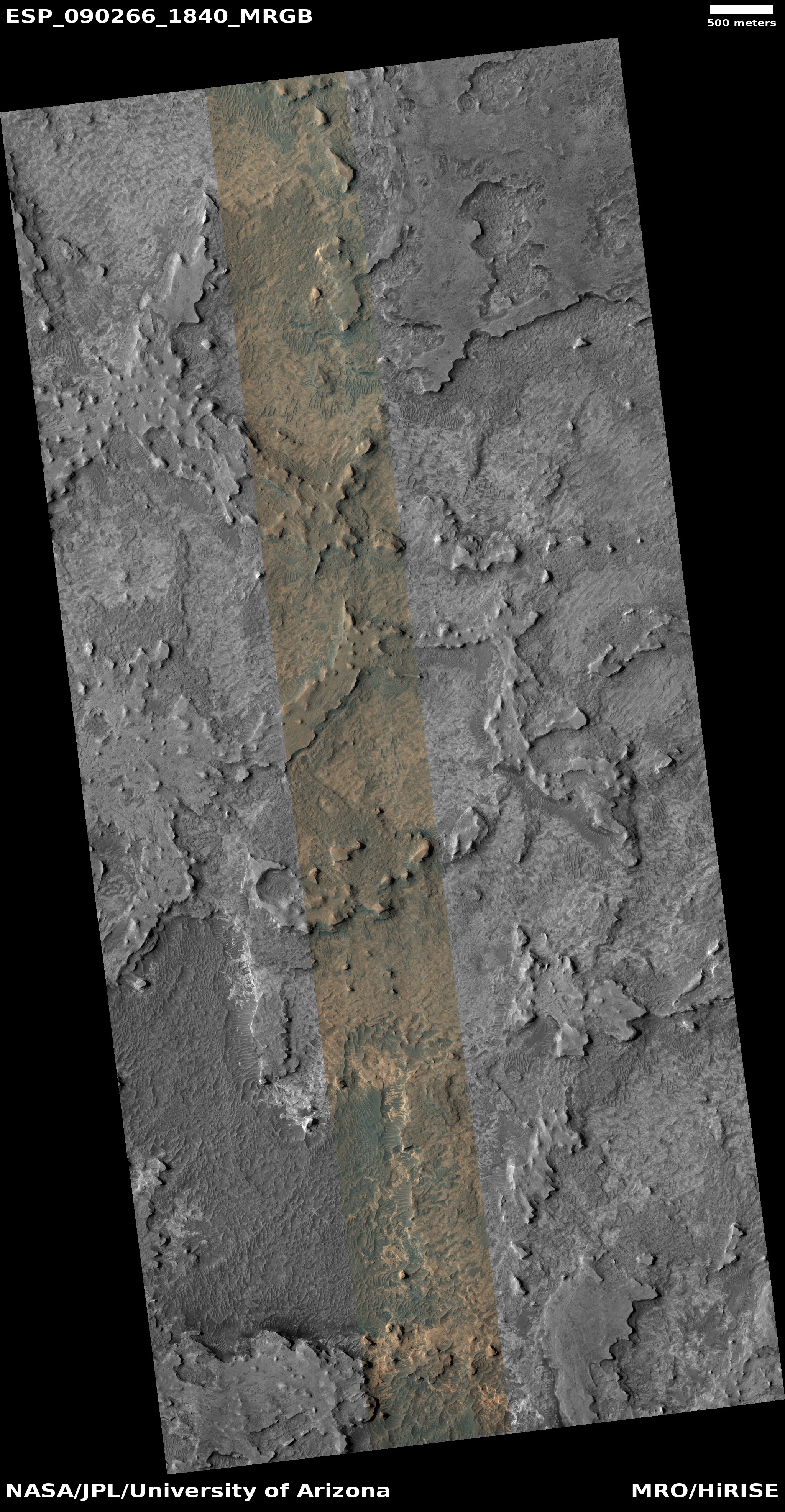
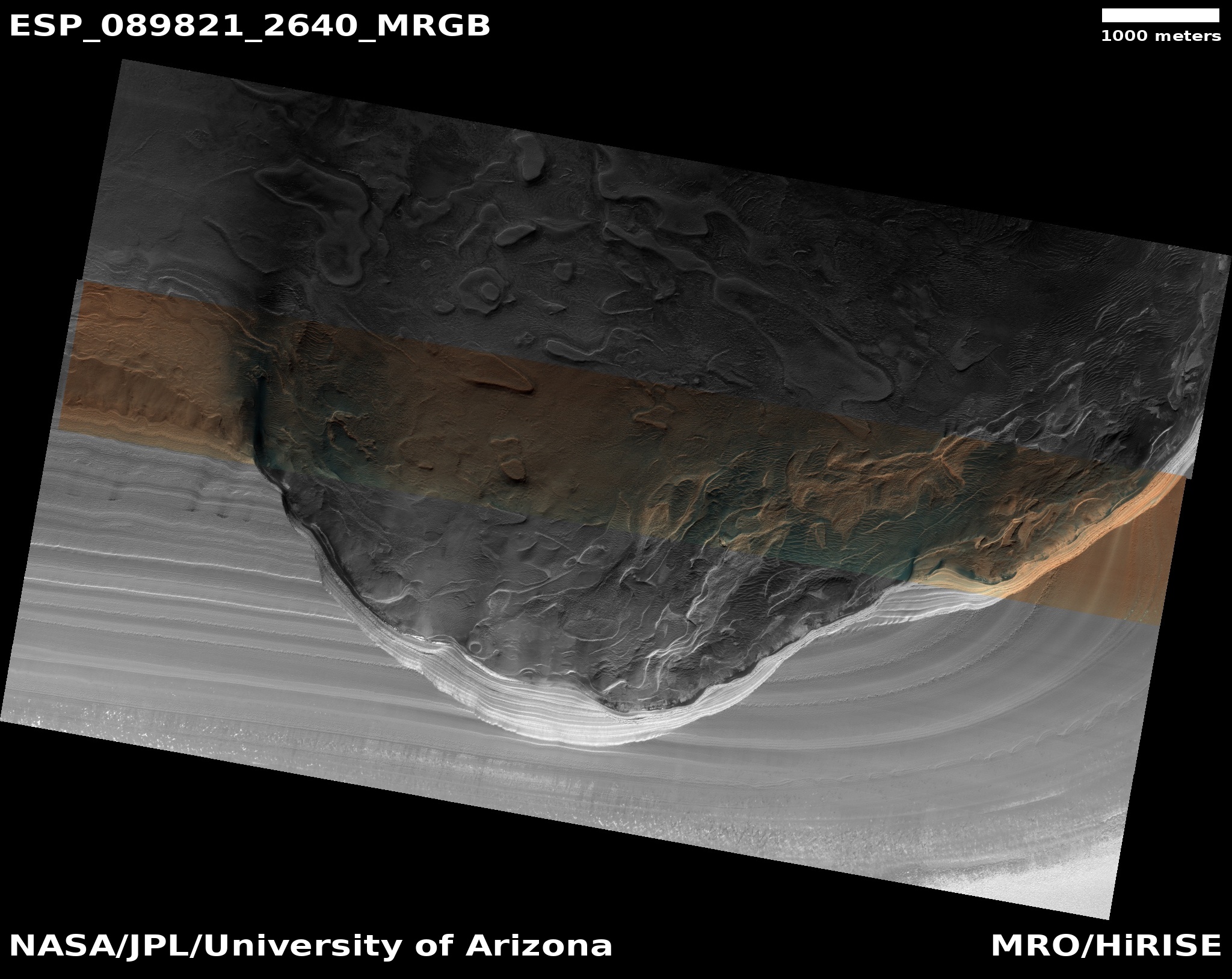
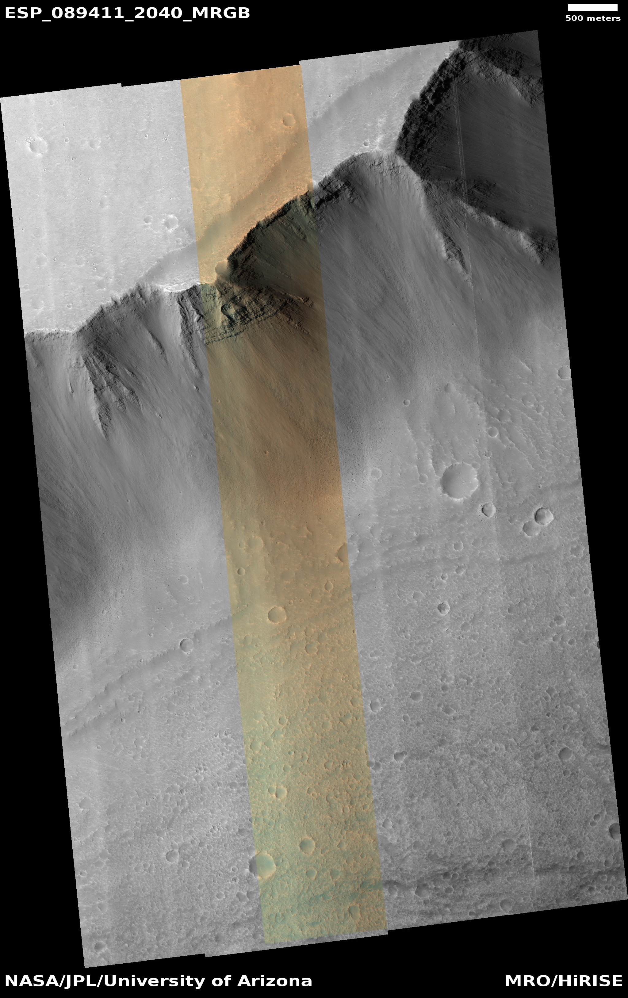
Cool image time! The picture to the right, rotated, cropped, reduced, and sharpened to post here, was taken on October 24, 2025 by the high resolution camera on Mars Reconnaissance Orbiter (MRO).
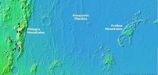
The white dot on the overview map above marks the location, on the lower slopes of the south rim of Valles Marineris, the largest canyon on Mars and by far the largest so far discovered in the solar system. From the rim to the floor the elevation drop here is about 23,000 feet, with the layers shown in the picture to be about 5,000 feet above the canyon floor.
Those layers cover about 500 feet of that elevation drop. Each layer suggests a past event, possibly volcanic eruptions. The curved headwall near the upper left also suggests that some layers were avalanches or mass wasting events flowing downhill to the northeast, one on top of another.
As always, the scale of Valles Marineris is hard to imagine. The rim is 20 miles to the south, but the canyon’s opposite rim is from 140 to 300 miles to the north. You could fit two to five Grand Canyons in this part of Valles Marineris and each would look small in comparison.


