Using data from the rover Opportunity, scientists now think that the renewal of Martian salt crusts on rock surfaces on the rim of Endeavour Crater could possibly by caused by the appearance of rare thin wetting events, and that such events could have even occurred very recently and be on-going..
The scientists looked at the rate of erosion and renewal of the salt crusts, and found them to be in a steady state. The erosion is slow, taking from 200,000 to 2,000,000 years to remove 1 to 2 millimeters. However, periodically a thin film of water or wetting occurs, not unlike dew on Earth, which quickly acts to renew the crust. As David Mittlefehldt of the Astromaterials Research Office at the Johnson Space Center and the lead author of the paper explained to me,
Taken together, the data leaves open the possibility the salt mobilization has occurred within the last few thousand years. It could be ongoing in the sense that over a period of thousands? or hundreds? of years it might happen again.
In other words, the evidence suggests that every few hundred or thousand years the surface of these rocks gets wet, which results in the placement of a new thin layer of salt crusts.
Mittlefehldt also emphasized to me that these wetting events are rare, and “there is also the case that such an event may never come again because of changing conditions.”
The situation is essentially like on Earth, where in some places hydrologists measure the size of floods by how rare they are. A 1,000 year flood is big, but it happens very rarely. At Endeavour Crater these wetting events are comparably rare, but they do not involve big floods, but a mere moistening of the ground.
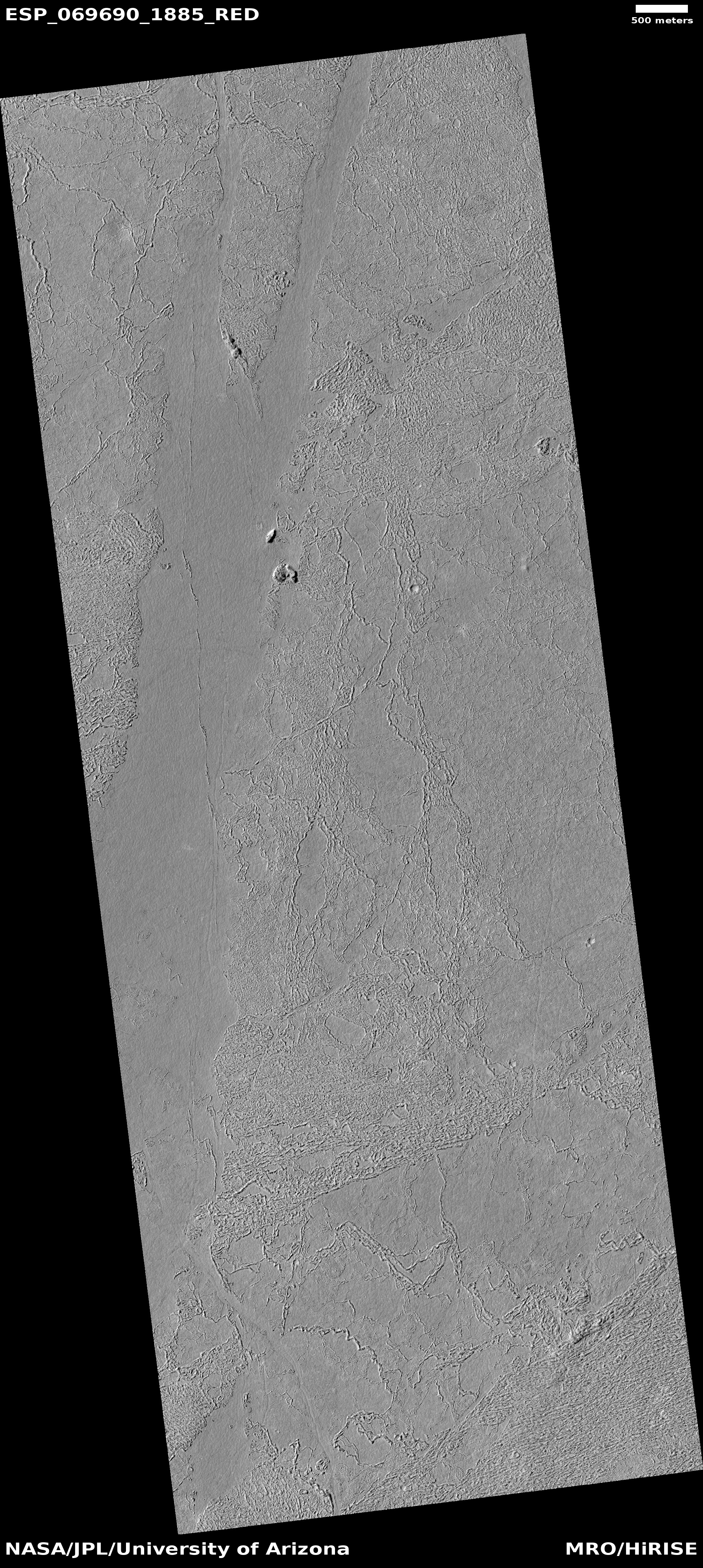
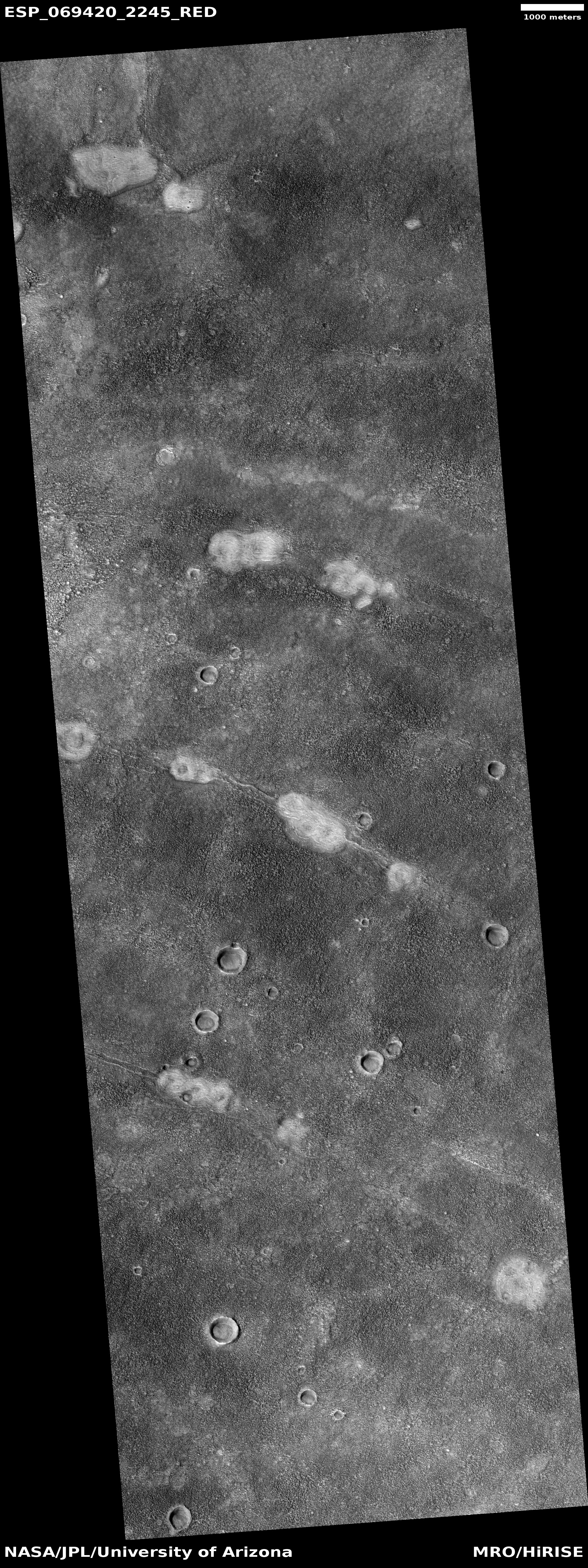
The location of Endeavour Crater is about 2 degrees south latitude, so it sits in the dry equatorial regions where no surface or near surface ice has so far been found. However, the cyclic nature of Mars’ orbit and obliquity could have changed this in the past, and could change this again in the future. At this time we simply don’t have enough information to know.