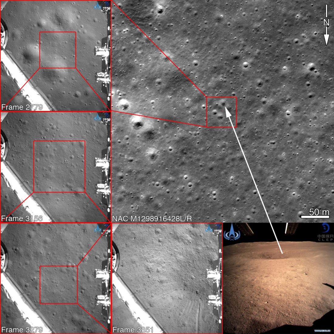
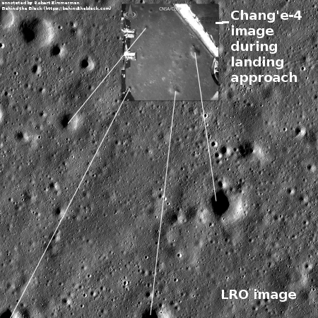
LRO photographs Chang’e-4 on lunar surface
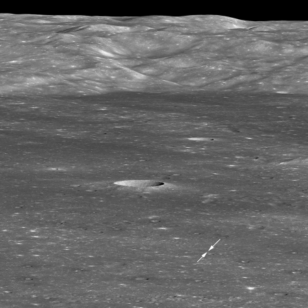
The Lunar Reconnaissance Orbiter (LRO) science team has released a spectacular oblique image that shows Chang’e-4 on the floor of Von Kármán crater.
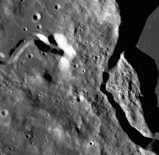
Four weeks later (30 January 2019), as LRO approached the crater from the east, it rolled 70° to the west to snap this spectacular view looking across the floor towards the west wall. Because LRO was 330 kilometers (205 miles) to the east of the landing site, the Chang’e 4 lander is only about two pixels across (bright spot between the two arrows), and the small rover is not detectable. The massive mountain range in the background is the west wall of Von Kármán crater, rising more than 3000 meters (9850 feet) above the floor.
The image on the right has been reduced to post here. If you click on it you can see a larger version, but you need to download a very large file at the above link to see it at full resolution.

The Lunar Reconnaissance Orbiter (LRO) science team has released a spectacular oblique image that shows Chang’e-4 on the floor of Von Kármán crater.
Four weeks later (30 January 2019), as LRO approached the crater from the east, it rolled 70° to the west to snap this spectacular view looking across the floor towards the west wall. Because LRO was 330 kilometers (205 miles) to the east of the landing site, the Chang’e 4 lander is only about two pixels across (bright spot between the two arrows), and the small rover is not detectable. The massive mountain range in the background is the west wall of Von Kármán crater, rising more than 3000 meters (9850 feet) above the floor.
The image on the right has been reduced to post here. If you click on it you can see a larger version, but you need to download a very large file at the above link to see it at full resolution.