
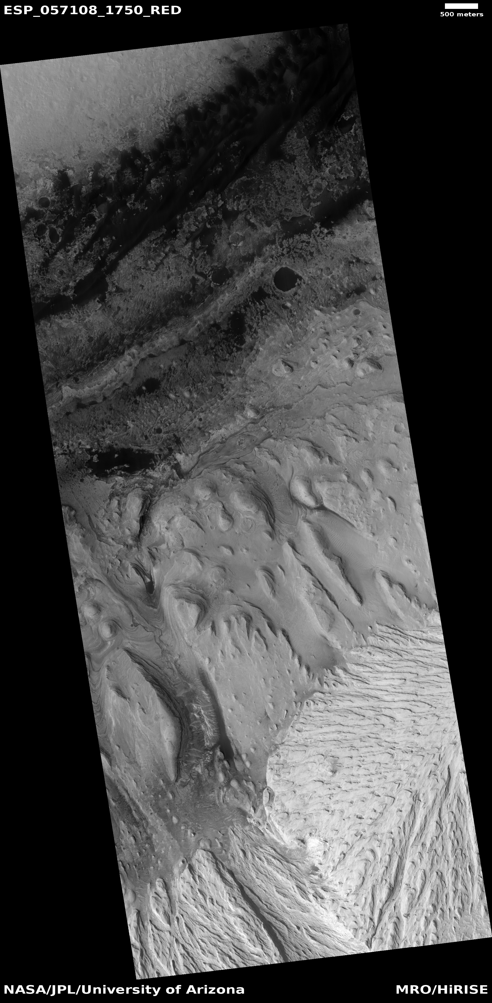
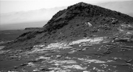
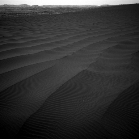
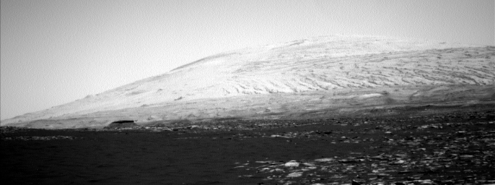
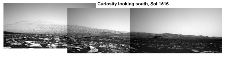
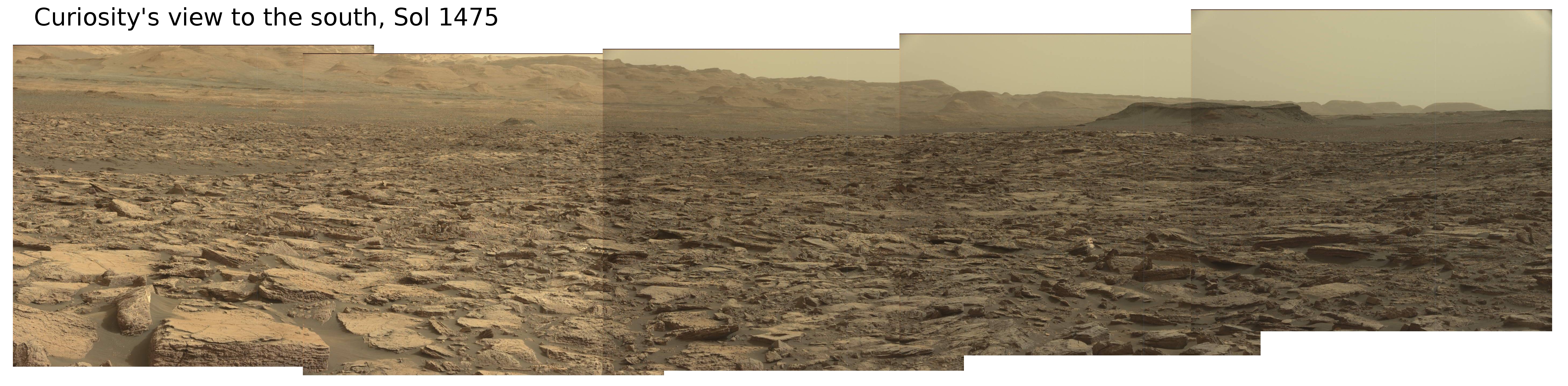
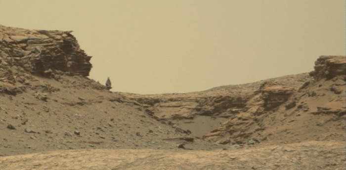
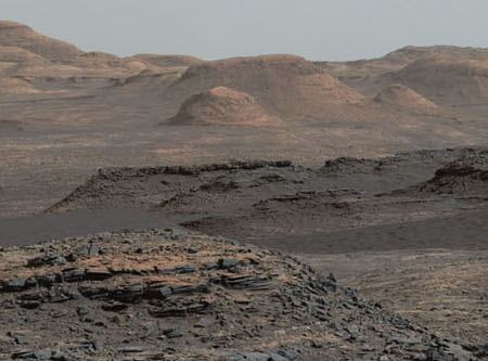
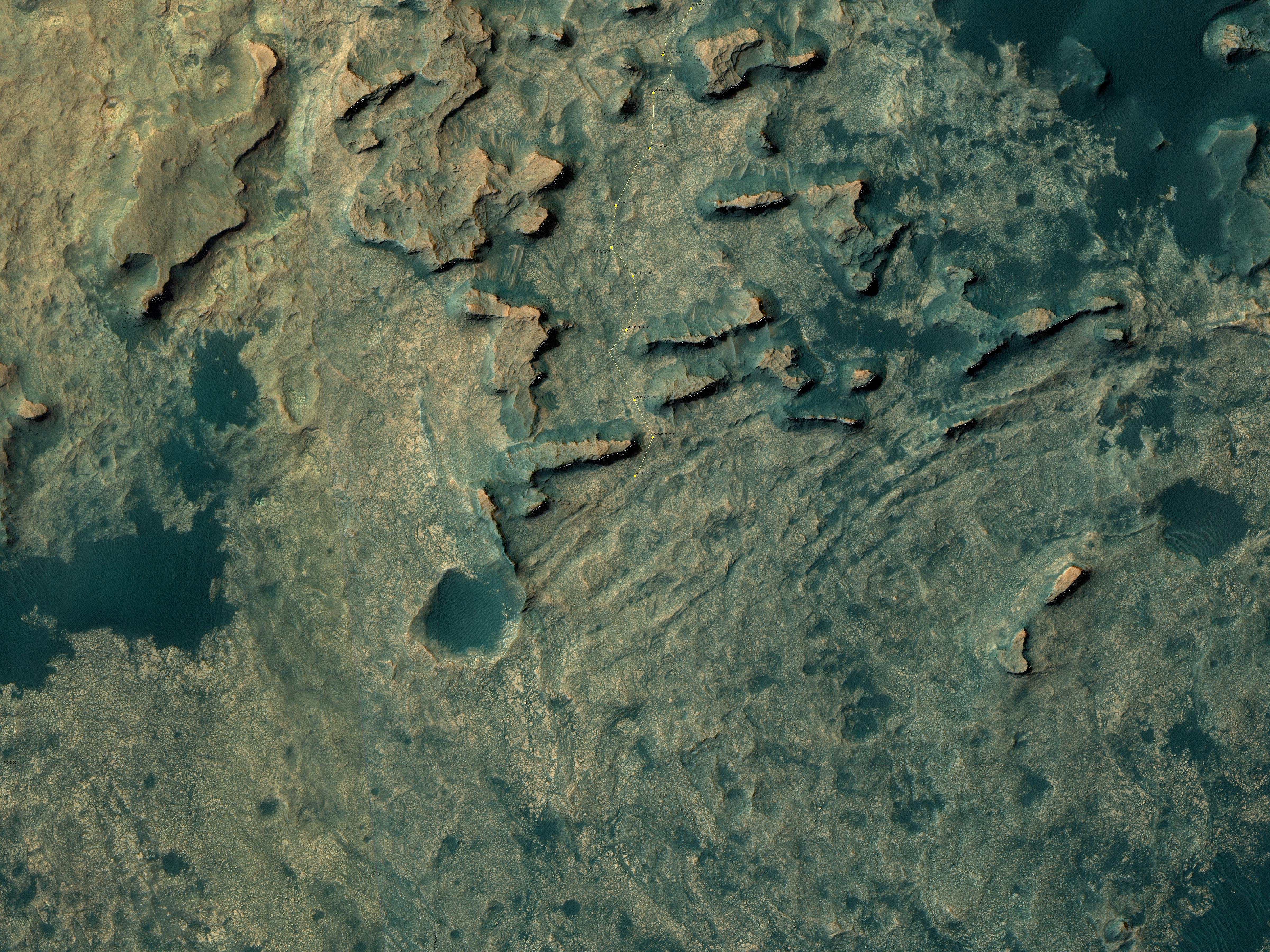
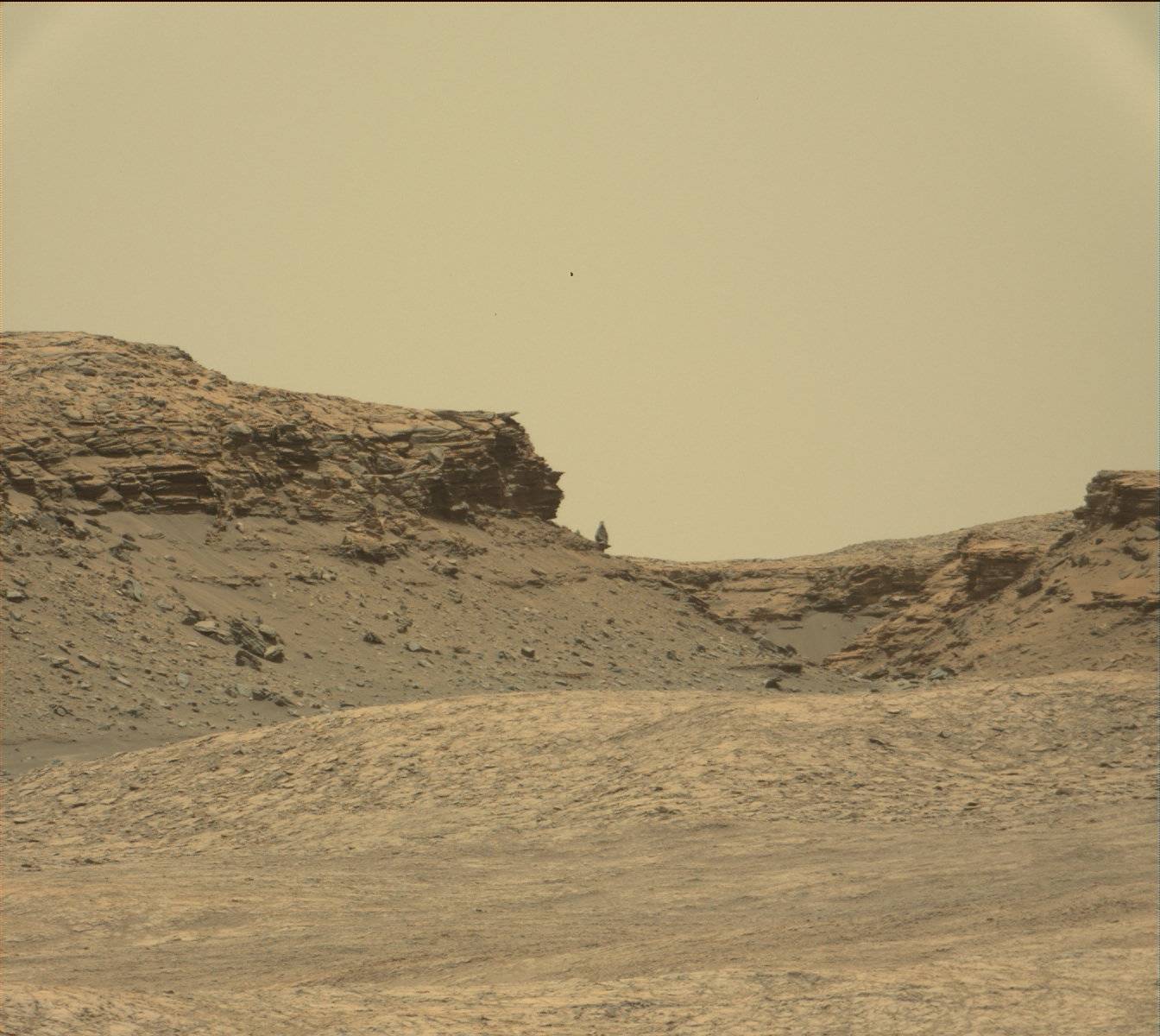
The base of Mt Sharp is less compacted than expected
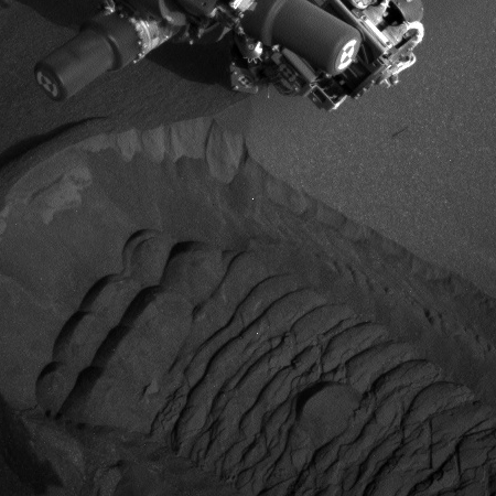
The uncertainty of science: Using data from Curiosity in Gale Crater on Mars, scientists have found that the material making up the lower layers of Mount Sharp is less compacted that they would have expected.
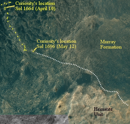
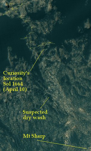
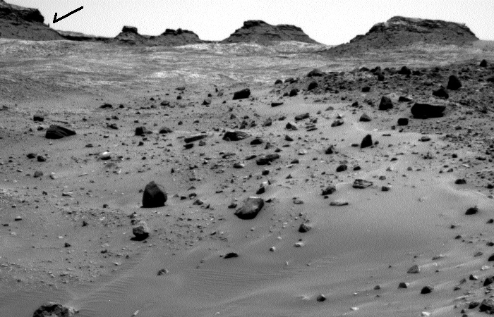
Scientists still aren’t sure how this mountain grew inside of the crater, which has been a longstanding mystery.
One idea is that sediment once filled Gale Crater and was then worn away by millions of years of wind and erosion, excavating the mountain. However, if the crater had been filled to the brim, the material on the bottom, which now makes up the crater’s surface, would have been pressed down. But the new Science paper suggests Mount Sharp’s lower layers have much less compacted than this theory predicts, reigniting the debate about how full the crater once was.
“The lower levels of Mount Sharp are surprisingly porous,” said lead author Kevin Lewis of Johns Hopkins University. “We know the bottom layers of the mountain were buried over time. That compacts them, making them denser. But this finding suggests they weren’t buried by as much material as we thought.”
I can’t help wonder whether we don’t yet really understand the influence of Mars’ lower gravity on geology, and that might explain the porosity.
The uncertainty of science: Using data from Curiosity in Gale Crater on Mars, scientists have found that the material making up the lower layers of Mount Sharp is less compacted that they would have expected.
Scientists still aren’t sure how this mountain grew inside of the crater, which has been a longstanding mystery.
One idea is that sediment once filled Gale Crater and was then worn away by millions of years of wind and erosion, excavating the mountain. However, if the crater had been filled to the brim, the material on the bottom, which now makes up the crater’s surface, would have been pressed down. But the new Science paper suggests Mount Sharp’s lower layers have much less compacted than this theory predicts, reigniting the debate about how full the crater once was.
“The lower levels of Mount Sharp are surprisingly porous,” said lead author Kevin Lewis of Johns Hopkins University. “We know the bottom layers of the mountain were buried over time. That compacts them, making them denser. But this finding suggests they weren’t buried by as much material as we thought.”
I can’t help wonder whether we don’t yet really understand the influence of Mars’ lower gravity on geology, and that might explain the porosity.


